

Buildings, Volume 15, Issue 12 (June-2 2025) – 180 articles
Cover Story (view full-size image):
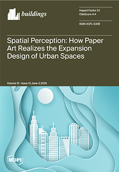
This study focuses on the potential of paper materials to enhance spatial quality and support capacity expansion in urban renewal. Taking its sensory plasticity, visual aesthetics, cultural bearing, and ecological and environmental protection as entry points, we constructed an innovative model for applying paper materials in contemporary art and spatial design. We verified the feasibility of using paper materials for capacity expansion in urban public space design through course design, artist interviews, and questionnaire analysis. Future research will aim to promote the transformation of paper art from decorative use to an intelligent space and cultural narrative design paradigm, deepen its value as an ecological, cultural, and technological medium, and open up new paths for spatial design theory and practice. View this paper
- Issues are regarded as officially published after their release is announced to the table of contents alert mailing list.
- You may sign up for e-mail alerts to receive table of contents of newly released issues.
- PDF is the official format for papers published in both, html and pdf forms. To view the papers in pdf format, click on the "PDF Full-text" link, and use the free Adobe Reader to open them.
Previous Issue
Next Issue