

Drones, Volume 9, Issue 10 (October 2025) – 63 articles
Cover Story (view full-size image):
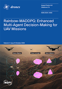
This paper proposes an enhanced decision-making algorithm for multi-agent unmanned aerial vehicles (UAVs) in island capture missions: Integrating the Rainbow reinforcement learning module into the MADDPG framework introduces prioritized experience replay, multi-step temporal difference updating, and behavioral cloning to improve long-term reward perception and accelerate convergence. Experimental results show a 40% faster convergence and double the combat power preservation rate, demonstrating superior adaptability and robustness in complex dynamic adversarial environments. View this paper
- Issues are regarded as officially published after their release is announced to the table of contents alert mailing list.
- You may sign up for e-mail alerts to receive table of contents of newly released issues.
- PDF is the official format for papers published in both, html and pdf forms. To view the papers in pdf format, click on the "PDF Full-text" link, and use the free Adobe Reader to open them.
Previous Issue
Next Issue