

Atmosphere, Volume 16, Issue 7 (July 2025) – 142 articles
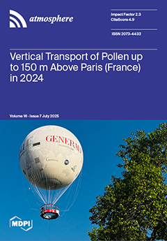
Cover Story (view full-size image):
Pollen allergies represent a growing public health concern, necessitating a more thorough comprehension of pollen vertical transportation. The optical Beenose instrument, which differentiates pollen particles from other particulate matter, has been installed on the gondola of the tourist “Ballon de Paris” in a park in Paris, France. The balloon conducts numerous flights per day, reaching an altitude of 150 m. The measurement period spans April to November 2024, coinciding with the pollen seasons of trees and grasses. Concentrations of pollen decrease with altitude, with an average of 11 ± 8% per 10 m. A secondary layer is observed in spring due to the presence of emissions from a proximate forest situated at a higher altitude. Measurements will continue to determine the parameters that can influence the vertical transportation of pollen. View this paper
- Issues are regarded as officially published after their release is announced to the table of contents alert mailing list.
- You may sign up for e-mail alerts to receive table of contents of newly released issues.
- PDF is the official format for papers published in both, html and pdf forms. To view the papers in pdf format, click on the "PDF Full-text" link, and use the free Adobe Reader to open them.
Previous Issue
Next Issue