

Remote Sens., Volume 16, Issue 2 (January-2 2024) – 223 articles
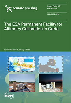
Cover Story (view full-size image):
This work has described the ground infrastructure of the PFAC in Crete and presented the latest Cal/Val results for Sentinel-6 MF, Sentinel-3A, Sentinel-3B, Jason-3, and CryoSat-2. This work presents a thorough examination of the transponder Cal/Val responses to understand and determine absolute biases for all satellite altimeters overflying this ground infrastructure. The latest calibration results for the Jason-3, Copernicus Sentinel-3A and -3B, Sentinel-6 MF, and CryoSat-2 radar altimeters are described based on four sea-surface and two transponder Cal/Val sites of the PFAC in west Crete, Greece. Absolute biases for Jason-3, Sentinel-6 MF, Sentinel-3A, Sentinel-3B, and CryoSat-2 are close to a few mm, determined using various techniques, infrastructure, and settings. View this paper
- Issues are regarded as officially published after their release is announced to the table of contents alert mailing list.
- You may sign up for e-mail alerts to receive table of contents of newly released issues.
- PDF is the official format for papers published in both, html and pdf forms. To view the papers in pdf format, click on the "PDF Full-text" link, and use the free Adobe Reader to open them.
Previous Issue
Next Issue