

Geosciences, Volume 8, Issue 1 (January 2018) – 33 articles
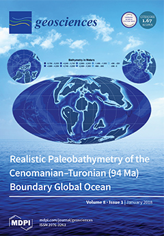
Cover Story (view full-size image):
Cenomanian–Turonian (94 Ma) reconstructed paleobathymetry, extrapolated from a parameterized modern ocean, that combines simple geophysical models based on ocean crustal age, an isostatically adjusted, multicomponent sediment layer from global ocean sediment thickness data, generalized shelf–slope–rise structures, calibrated at modern active and passive continental margins, and known underwater large igneous provinces and seamounts.View this paper.
- Issues are regarded as officially published after their release is announced to the table of contents alert mailing list.
- You may sign up for e-mail alerts to receive table of contents of newly released issues.
- PDF is the official format for papers published in both, html and pdf forms. To view the papers in pdf format, click on the "PDF Full-text" link, and use the free Adobe Reader to open them.
Previous Issue
Next Issue