

Remote Sens., Volume 16, Issue 18 (September-2 2024) – 190 articles
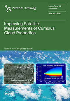
Cover Story (view full-size image):
Satellite observations play a critical role in characterizing Earth’s global cloud cover. For highly structured clouds such as boundary layer cumulus, however, satellite measurements of cloud properties such as cloud droplet size tend to have large uncertainties. This is because current algorithms do not consider the impact of three-dimensional cloud heterogeneity when interpreting the observations. This study explores a possible path to improve the accuracy of cloud property estimations by first determining the effect of three-dimensional heterogeneity on large-scale cloud statistics and then distributing the overall effects to individual pixels. Results for a simulated dataset show that the proposed approach can help improve satellite-based estimations of cumulus cloud properties in both old and new satellite datasets. View this paper
- Issues are regarded as officially published after their release is announced to the table of contents alert mailing list.
- You may sign up for e-mail alerts to receive table of contents of newly released issues.
- PDF is the official format for papers published in both, html and pdf forms. To view the papers in pdf format, click on the "PDF Full-text" link, and use the free Adobe Reader to open them.
Previous Issue
Next Issue