

Remote Sens., Volume 15, Issue 20 (October-2 2023) – 182 articles
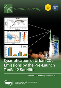
Cover Story (view full-size image):
This paper evaluates the theoretical capability of TanSat-2 (the next-generation Chinese greenhouse gas monitoring satellite) to quantify integrated urban CO2 emissions over the cities of Beijing, Jinan, Los Angeles, and Paris. We design a series of numerical experiments to evaluate the impacts of sampling patterns and measurement errors on inferring urban CO2 emissions. The correction in systematic and random flux errors is correlated with the signal-to-noise ratio of satellite-based CO2 measurements. It is feasible to infer urban CO2 emissions from synthetic unbiased TanSat-2 data with a 19–28% correction in random flux errors. This study suggests deploying ground-based atmospheric remote sensing networks to correct systematic errors in satellite measurements and reduce uncertainties in urban CO2 emission estimates. View this paper
- Issues are regarded as officially published after their release is announced to the table of contents alert mailing list.
- You may sign up for e-mail alerts to receive table of contents of newly released issues.
- PDF is the official format for papers published in both, html and pdf forms. To view the papers in pdf format, click on the "PDF Full-text" link, and use the free Adobe Reader to open them.
Previous Issue
Next Issue