Topic Menu
► Topic MenuTopic Editors


Hyperspectral Imaging and Signal Processing

Topic Information
Dear Colleagues,
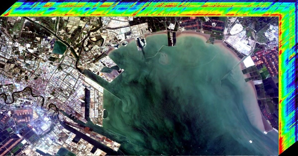
Hyperspectral imaging technology has been used for Earth observation for more than four decades. A variety of hyperspectral sensors based on different platforms, such as satellites, aircraft, drones, cars, and ground, have been developed, which have greatly promoted the applications of hyperspectral imaging technology. With the development of computer science and the availability of hyperspectral datasets, more and more artificial intelligence algorithms based on machine learning or deep learning are used for the processing and application of hyperspectral imagery. In addition, some potential applications using hyperspectral imaging technology are investigated with the improvement of the spatial and spectral resolution of hyperspectral sensors. In this Topic, we focus on hyperspectral sensor design, data processing, and applications. Authors are encouraged to submit contributions that report original studies on hyperspectral imaging and signal processing. If your research is limited by spaceborne hyperspectral images, you can contact the Topic editor team to seek data support. Topics will include but not be limited to:
- Hyperspectral sensor design, development, and performance valuation;
- Key techniques in sub-systems, including optics, electronics, mechanics, and detectors;
- Hyperspectral data preprocessing and image quality improvement, e.g., radiometric calibration, geometric correction, and atmosphere correction;
- Innovative algorithm development for hyperspectral remote sensing;
- Data fusion of multiple remote sensing sources;
- Hyperspectral LiDAR;
- Hyperspectral applications in the ocean, forests, agriculture, environment, minerals and oil, etc.
Prof. Dr. Yinnian Liu
Prof. Dr. Bing Zhang
Prof. Dr. Liangpei Zhang
Dr. Chenchao Xiao
Prof. Dr. Yueming Wang
Prof. Dr. Yongguang Zhang
Prof. Dr. Qingli Li
Dr. Yuwei Chen
Dr. Jianxin Jia
Dr. Mingyang Zhang
Topic Editors
Keywords
- hyperspectral remote sensing
- data processing
- radiometric and geometric calibration
- machine learning and deep learning
- data fusion
- land cover mapping
Participating Journals
| Journal Name | Impact Factor | CiteScore | Launched Year | First Decision (median) | APC |
|---|---|---|---|---|---|

Drones
|
4.8 | 7.4 | 2017 | 20.8 Days | CHF 2600 |

Electronics
|
2.6 | 6.1 | 2012 | 16.4 Days | CHF 2400 |

Land
|
3.2 | 5.9 | 2012 | 17.5 Days | CHF 2600 |

Photonics
|
1.9 | 3.5 | 2014 | 15 Days | CHF 2400 |

Remote Sensing
|
4.1 | 8.6 | 2009 | 24.3 Days | CHF 2700 |

Sensors
|
3.5 | 8.2 | 2001 | 17.8 Days | CHF 2600 |

Preprints.org is a multidisciplinary platform offering a preprint service designed to facilitate the early sharing of your research. It supports and empowers your research journey from the very beginning.
MDPI Topics is collaborating with Preprints.org and has established a direct connection between MDPI journals and the platform. Authors are encouraged to take advantage of this opportunity by posting their preprints at Preprints.org prior to publication:
- Share your research immediately: disseminate your ideas prior to publication and establish priority for your work.
- Safeguard your intellectual contribution: Protect your ideas with a time-stamped preprint that serves as proof of your research timeline.
- Boost visibility and impact: Increase the reach and influence of your research by making it accessible to a global audience.
- Gain early feedback: Receive valuable input and insights from peers before submitting to a journal.
- Ensure broad indexing: Web of Science (Preprint Citation Index), Google Scholar, Crossref, SHARE, PrePubMed, Scilit and Europe PMC.


