

Hydrology, Volume 9, Issue 10 (October 2022) – 25 articles
Cover Story (view full-size image):
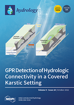
Rising water demand within the agricultural Dougherty Plain of the Southeastern United States has depleted surface water bodies. In karstic landscapes, the linkages between surface and ground waters are close; improved knowledge of the subsurface drainage characteristics will aid numerical models that support policy decisions and economic analyses. LiDAR, aerial imagery, and ground-penetrating radar were used to investigate the subsurface nature of a draw and a series of geographically isolated wetlands, two common features of this landscape. GPR imagery indicates karst features that are laterally continuous and connect to surface streams. These findings will refine groundwater models used to inform irrigation and forest restoration programs while minimizing the impacts of water use on surface streams and ecosystems. View this paper
- Issues are regarded as officially published after their release is announced to the table of contents alert mailing list.
- You may sign up for e-mail alerts to receive table of contents of newly released issues.
- PDF is the official format for papers published in both, html and pdf forms. To view the papers in pdf format, click on the "PDF Full-text" link, and use the free Adobe Reader to open them.
Previous Issue
Next Issue