

Geosciences, Volume 15, Issue 5 (May 2025) – 32 articles
Cover Story (view full-size image):
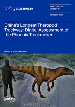
The ‘Phoenix Trackway’ at the Hanxi Cretaceous Dinosaur Tracksite in China preserves East Asia’s longest known theropod trackway—a nearly 70-metre sequence of 81 footprints. This study applied advanced digital methodologies to conduct a comprehensive analysis of the trackway’s parameters and inferred trackmaker biometrics, overcoming the logistical limitations of traditional field approaches. Using a life reconstruction of a theropod (based on Yutyrannus), the study integrated trackway data with digital animation to visualise locomotor patterns and gait dynamics, offering new insights into the temporospatial sequence of footprint registration. View this paper
- Issues are regarded as officially published after their release is announced to the table of contents alert mailing list.
- You may sign up for e-mail alerts to receive table of contents of newly released issues.
- PDF is the official format for papers published in both, html and pdf forms. To view the papers in pdf format, click on the "PDF Full-text" link, and use the free Adobe Reader to open them.
Previous Issue
Next Issue