

Geosciences, Volume 15, Issue 6 (June 2025) – 45 articles
Cover Story (view full-size image):
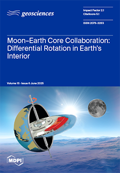
This study stems from inquiries into rapid geomagnetic reversals and concludes that differential rotation exists within Earth, driven by lunar tidal forces. We propose a conceptual model where the oceanic tidal bulge acts as a brake, initially slowing the crust and mantle. The outer core, being fluid, delays this effect, resulting in differential rotation at layer boundaries. Approximately 66,000 years after the Moon’s formation, tidal forces slowed crust-mantle rotation by ~5.5°/yr relative to the core. Estimated frictional heating reaches 0.3478 TW, potentially raising outer core temperatures by ~13.4 K per billion years. Continuous differential rotation may generate turbulence and electromagnetic activity, potentially linked to geomagnetic reversals. View this paper
- Issues are regarded as officially published after their release is announced to the table of contents alert mailing list.
- You may sign up for e-mail alerts to receive table of contents of newly released issues.
- PDF is the official format for papers published in both, html and pdf forms. To view the papers in pdf format, click on the "PDF Full-text" link, and use the free Adobe Reader to open them.
Previous Issue
Next Issue