


Sensors, Volume 19, Issue 5 (March-1 2019) – 281 articles
Cover Story (view full-size image):
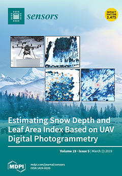
The study presents a novel approach in the application of UAV imaging for the conjoint assessment of the snow depth and winter leaf area index (LAI). LAI assessment, crucial for the correct interpretation of the snow depth distribution in forested areas, was based on downward-looking UAV images taken in the forest regime. To identify the canopy characteristics from downward-looking UAV images, the snow background was used instead of the sky fraction. Field surveying of snow depth and LAI were conducted as a reference to UAV imaging. The study covered sites with a varying structure and the state of the Norway spruce forest cover, ranging from healthy and disturbed forest to a meadow area, over a winter season. Since the snow depth and the LAI parameters are essential for snowpack studies, this combined method will be of great value to simplifying snow depth and the LAI assessment of snow dynamics. View
[...] Read more.
- Issues are regarded as officially published after their release is announced to the table of contents alert mailing list.
- You may sign up for e-mail alerts to receive table of contents of newly released issues.
- PDF is the official format for papers published in both, html and pdf forms. To view the papers in pdf format, click on the "PDF Full-text" link, and use the free Adobe Reader to open them.
Previous Issue
Next Issue