

Remote Sens. 2026, 18(8), 1125; https://doi.org/10.3390/rs18081125 (registering DOI) - 10 Apr 2026
Abstract
►
Show Figures
Digital elevation models (DEMs) are foundational for critical tasks such as flood inundation simulation, disaster risk assessment, and ecosystem monitoring in coastal zones, yet their vertical accuracy is significantly compromised by complex terrain and surface characteristics. This study quantitatively decomposes the vertical errors
[...] Read more.
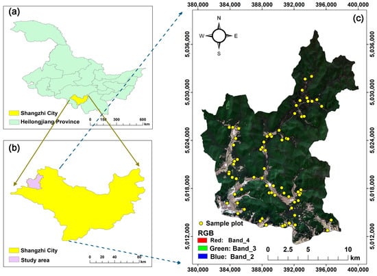
Digital elevation models (DEMs) are foundational for critical tasks such as flood inundation simulation, disaster risk assessment, and ecosystem monitoring in coastal zones, yet their vertical accuracy is significantly compromised by complex terrain and surface characteristics. This study quantitatively decomposes the vertical errors of three 30 m global DEMs (COP30, NASADEM, and AW3D30) across the subtropical coastal region of Southeast China using ICESat-2 ATL08 data as a reference. By integrating an eXtreme Gradient Boosting (XGBoost) model with SHapley Additive exPlanations (SHAP), we successfully decoupled systematic biases from random noise. The results show that NASADEM achieved the lowest RMSE (7.775 m), followed by COP30 and AW3D30. While the Terrain Ruggedness Index (TRI) and categorically encoded Land Cover were identified as the universally dominant error drivers across all datasets, explainable analysis revealed distinct secondary mechanisms: X-band COP30 is notably susceptible to canopy height, exhibiting significant positive bias in forests exceeding 15 m; C-band NASADEM shows a systematic bias related to topographic position, typically overestimating ridges and underestimating valleys; and optical AW3D30 is significantly affected by stereo-matching errors. Furthermore, the analysis quantified a systematic error component of ~40%. These findings provide a data-driven basis for DEM selection and highlight that accuracy improvements should prioritize vegetation removal for radar DEMs and enhanced stereo-matching for optical models.
Full article

Figure 1


