Foss. Stud. 2026, 4(2), 11; https://doi.org/10.3390/fossils4020011 - 11 May 2026
Abstract
►
Show Figures
An isolated fish skull from the Early Eocene Green River Lagerstätte from southwestern Wyoming, USA was tentatively identified as a regurgitalite. It consists of a skull of the perciform moronoid Mioplosus labracoides and articulated vertebrae. After mechanical preparation, the specimen was studied in
[...] Read more.
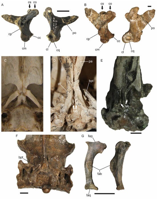
An isolated fish skull from the Early Eocene Green River Lagerstätte from southwestern Wyoming, USA was tentatively identified as a regurgitalite. It consists of a skull of the perciform moronoid Mioplosus labracoides and articulated vertebrae. After mechanical preparation, the specimen was studied in detail and it could represent a regurgitalite, a pabulite (remnant of predation) or a portion of a decayed fish. Fish decay rarely results in an isolated skull, so this specimen probably pertains to a bromalite (pabulite or regurgitalite). We consider that it most likely is a regurgitalite because of the breakage of bones and displacement of elements.
Full article

Figure 1


