

Remote Sens., Volume 12, Issue 21 (November-1 2020) – 206 articles
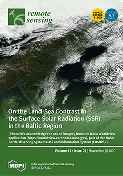
Cover Story (view full-size image):
The climatological surface solar radiation (SSR) is an important indicator of the solar energy production potential. In the Baltic area, previous studies have indicated lower cloud amounts over seas than over land. Here, we quantify the climatological land–sea contrast of the SSR using two satellite data records of EUMETSAT. Our results show that off-shore locations on average receive higher SSR than inland areas and that the land–sea contrast is strongest during the summer. Furthermore, the land–sea contrast in the summer time SSR exhibits similar behavior in various parts of the Baltic. The annual SSR is 8% higher 20 km off the coastline than 20 km inland. We further find that convective clouds are a key driver of this behavior, as they tend to form over inland areas rather than over the seas during the summer part of the year. View this paper
- Issues are regarded as officially published after their release is announced to the table of contents alert mailing list.
- You may sign up for e-mail alerts to receive table of contents of newly released issues.
- PDF is the official format for papers published in both, html and pdf forms. To view the papers in pdf format, click on the "PDF Full-text" link, and use the free Adobe Reader to open them.
Previous Issue
Next Issue