

Drones, Volume 6, Issue 1 (January 2022) – 27 articles
Cover Story (view full-size image):
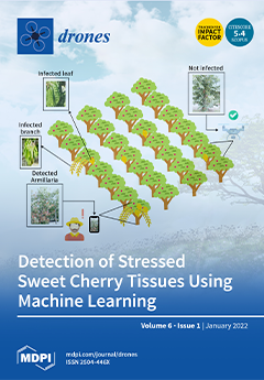
Recent technological developments in the primary sector and machine learning algorithms allow the combined application of many promising solutions in precision agriculture. The advent of datasets from different perspectives offers multiple benefits, such as a spheric view of objects and inference results from the detection of multiple objects per image. However, it also creates crucial obstacles, such as total identifications (ground truths) and processing concerns that can lead to devastating consequences, including false-positive detections with other erroneous conclusions or even the inability to extract results. This paper introduces the machine learning algorithm (Yolov5) on a novel dataset based on perennial fruit crops, such as sweet cherries, to enhance precision agriculture resiliency against stress/disease (Armillaria). View this paper
- Issues are regarded as officially published after their release is announced to the table of contents alert mailing list.
- You may sign up for e-mail alerts to receive table of contents of newly released issues.
- PDF is the official format for papers published in both, html and pdf forms. To view the papers in pdf format, click on the "PDF Full-text" link, and use the free Adobe Reader to open them.
Previous Issue
Next Issue