

Agronomy, Volume 8, Issue 11 (November 2018) – 38 articles
Cover Story (view full-size image):
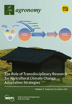
Our contribution describes inter- and trans-disciplinary learning processes within a project modelling the hydrological effects of combined future climate and land-use changes. Based on combined scenarios of climate and socio-economic change in an Alpine valley hydrological results show how an increase in the forested area reduces streamflow (as a measure of water availability) in the long term. The transdisciplinary research process allows local stakeholders to translate the hydrological modelling results into a concrete local climate change adaptation strategy. Scenarios with consistent storylines help stakeholders to visualize a desired future and to see their scope of influence. Especially in mountain areas, given the interdependencies of farming with forestry, tourism, and other economic sectors collective decisions on a communal level regarding land use are crucial.View Paper here.
- Issues are regarded as officially published after their release is announced to the table of contents alert mailing list.
- You may sign up for e-mail alerts to receive table of contents of newly released issues.
- PDF is the official format for papers published in both, html and pdf forms. To view the papers in pdf format, click on the "PDF Full-text" link, and use the free Adobe Reader to open them.
Previous Issue
Next Issue