

Forests, Volume 10, Issue 3 (March 2019) – 92 articles
Cover Story (view full-size image):
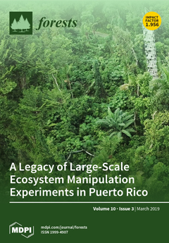
There is a long history of experimental research in the Luquillo Experimental Forest in Puerto Rico. These experiments have addressed questions about biotic thresholds, assessed why communities vary along natural gradients, and have explored forest responses to a range of both anthropogenic and non-anthropogenic disturbances. Combined, these studies cover many of the major disturbances that affect tropical forests around the world and span a wide range of topics, including the effects of forest thinning, ionizing radiation, hurricane disturbance, nitrogen deposition, drought, and global warming. These invaluable studies have greatly enhanced our understanding of tropical forest function under different disturbance regimes and informed the development of management strategies. Here we summarize the major field experiments that have occurred within the Luquillo Experimental Forest. View Paper here.
- Issues are regarded as officially published after their release is announced to the table of contents alert mailing list.
- You may sign up for e-mail alerts to receive table of contents of newly released issues.
- PDF is the official format for papers published in both, html and pdf forms. To view the papers in pdf format, click on the "PDF Full-text" link, and use the free Adobe Reader to open them.
Previous Issue
Next Issue