

Urban Sci., Volume 9, Issue 10 (October 2025) – 47 articles
Cover Story (view full-size image):
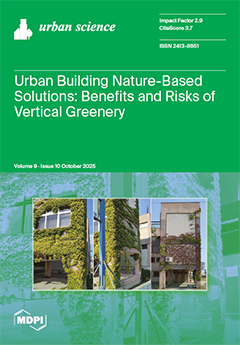
Rapid urbanization intensifies environmental challenges related to climate change in built environments. The optimization of nature-based solutions is imperative to mitigate climate change and adapt to extreme weather phenomena. This review analyses the integration of vertical greenery systems (VGSs) into urban environments to capitalize on their environmental, social, and economic benefits. Key aspects include the positive role of VGSs in UHI mitigation, air quality improvement, stormwater management, biodiversity enhancement, and social aspects. Challenges include high maintenance costs, structural risks, plant health issues and fire hazards. The study highlights the importance of interdisciplinary collaboration of urban planners, architects, engineers, and stakeholders for optimized VGSs integration to enhance urban sustainability. View this paper
- Issues are regarded as officially published after their release is announced to the table of contents alert mailing list.
- You may sign up for e-mail alerts to receive table of contents of newly released issues.
- PDF is the official format for papers published in both, html and pdf forms. To view the papers in pdf format, click on the "PDF Full-text" link, and use the free Adobe Reader to open them.
Previous Issue
Next Issue