

Fire, Volume 7, Issue 2 (February 2024) – 27 articles
Cover Story (view full-size image):
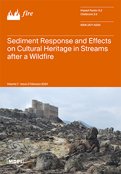
In the Navalacruz wildfire, the loss of vegetation associated with the fire was responsible for a high rate of sedimentation in the rivers. The burned area affected up to 60 cultural heritage sites. We analyze the post-fire evolution based on a field survey of infiltration rates, hydrodynamic modeling, and channel morphological changes. The first post-fire rains caused the mobilization and transport of ashes, hydrophobicity in the soils and large transported sediments to rivers by subsequent low-magnitude storms. These trends are a consequence of a post-fire increase in flow rates for similar rainfall scenarios resulting in an increase in sediment transport capacities associated with this increase in flow rates. The combination of steep slopes with high severity and a deep regolith resulted in a series of cascading responses. View this paper
- Issues are regarded as officially published after their release is announced to the table of contents alert mailing list.
- You may sign up for e-mail alerts to receive table of contents of newly released issues.
- PDF is the official format for papers published in both, html and pdf forms. To view the papers in pdf format, click on the "PDF Full-text" link, and use the free Adobe Reader to open them.
Previous Issue
Next Issue