

Water, Volume 9, Issue 12 (December 2017) – 86 articles
Cover Story (view full-size image):
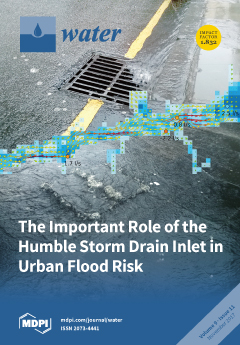
Reliable modelling of urban floods depends on realistic representation of flows on the surface, in the sewer network, but also, crucially, on the storm drain inlets linking the two. Since detailed networks of inlet locations are not always available, a GIS routine was developed to generate synthetic ones for use with the CityCAT hydrodynamic model. The study demonstrates not only that synthetic networks work as well as the surveyed ones, but also highlights that the system drainage capacity is very sensitive to small changes in location and the number of inlets in water ponding areas. View this paper
- Issues are regarded as officially published after their release is announced to the table of contents alert mailing list.
- You may sign up for e-mail alerts to receive table of contents of newly released issues.
- PDF is the official format for papers published in both, html and pdf forms. To view the papers in pdf format, click on the "PDF Full-text" link, and use the free Adobe Reader to open them.
Previous Issue
Next Issue