

Hydrology, Volume 12, Issue 2 (February 2025) – 22 articles
Cover Story (view full-size image):
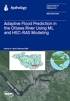
This study integrates machine learning (ML) with 2D hydrodynamic modeling (HEC-RAS) to assess Ottawa River morphodynamics under nonstationary flow regimes. Traditional ML struggles with extreme flood prediction due to its reliance on historical data. To address this, HEC-RAS simulations were used to generate a synthetic dataset of river flow discharges across various return periods, enhancing predictive accuracy under evolving climatic conditions. The results show that the proposed Next-Generation Group Method of Data Handling (Next-Gen GMDH) overcomes traditional ML limitations, reducing computational complexity by 40% while achieving R2 > 0.98, outperforming standard models. This framework advances adaptive flood risk management, providing stakeholders with predictive tools to mitigate climate-driven threats and protect communities. View this paper
- Issues are regarded as officially published after their release is announced to the table of contents alert mailing list.
- You may sign up for e-mail alerts to receive table of contents of newly released issues.
- PDF is the official format for papers published in both, html and pdf forms. To view the papers in pdf format, click on the "PDF Full-text" link, and use the free Adobe Reader to open them.
Previous Issue
Next Issue