

Remote Sens., Volume 16, Issue 23 (December-1 2024) – 273 articles
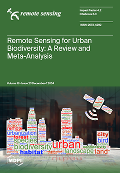
Cover Story (view full-size image):
This research provides insight into the use of RS to study urban biodiversity. Using the Scopus database, we have examined peer-reviewed articles published from 2008 to 2023, employing specific keywords to identify relevant research. The majority of the research on urban biodiversity using RS focuses on large cities in the Northern Hemisphere, often neglecting smaller cities. This has led to a concentration of data on Mediterranean and temperate regions, with limited coverage of biomes like boreal, desert, and tropical areas. In addition, we observed from the extracted metadata which RS sensors and biodiversity targets were the main focus of research. Our work provides a comprehensive overview of the current methodologies and highlights areas for further investigation, providing guidance for future remote sensing studies of urban biodiversity. View this paper
- Issues are regarded as officially published after their release is announced to the table of contents alert mailing list.
- You may sign up for e-mail alerts to receive table of contents of newly released issues.
- PDF is the official format for papers published in both, html and pdf forms. To view the papers in pdf format, click on the "PDF Full-text" link, and use the free Adobe Reader to open them.
Previous Issue
Next Issue