Article

Large-Scale Mapping of Tree Species and Dead Trees in Šumava National Park and Bavarian Forest National Park Using Lidar and Multispectral Imagery


1
Department of Geoinformatics, Munich University of Applied Sciences, Karlstr. 6, D-80333 Munich, Germany
2
Jambit GmbH, Erika-Mann-Straße 63, D-80636 Munich, Germany
3
Department of Computer Science and Mathematics, Munich University of Applied Sciences, Lothstr. 64, D-80335 Munich, Germany
4
Šumava National Park, Sušická 339, CZ-34192 Kašperské Hory, Czech Republic
5
Faculty of Environment and Natural Resources, University of Freiburg, 79085 Freiburg im Breisgau, Germany
6
Bavarian Forest National Park, Department of Visitor Management and National Park Monitoring, Freyungerstr. 2, D-94481 Grafenau, Germany
*
Author to whom correspondence should be addressed.
Remote Sens. 2020, 12(4), 661; https://doi.org/10.3390/rs12040661
Submission received: 22 December 2019 / Revised: 7 February 2020 / Accepted: 7 February 2020 / Published: 17 February 2020
(This article belongs to the Special Issue Mapping Tree Species Diversity)

Abstract

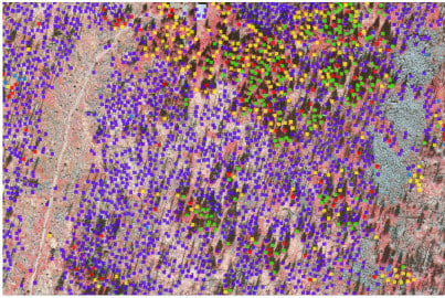
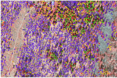
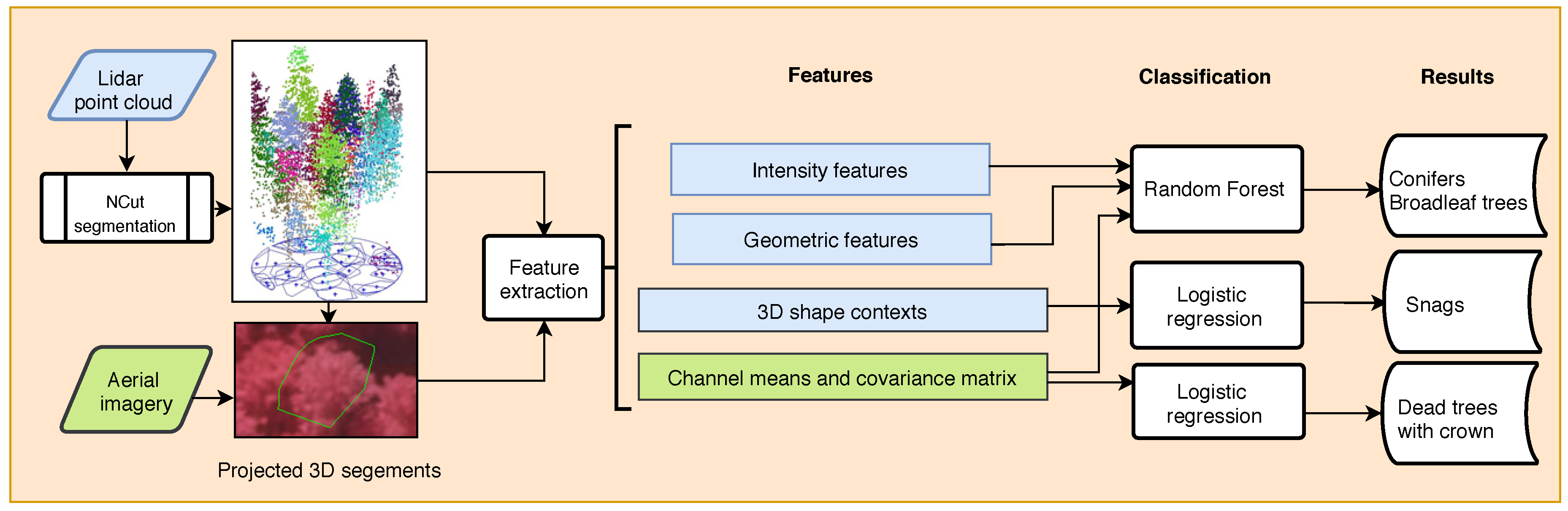
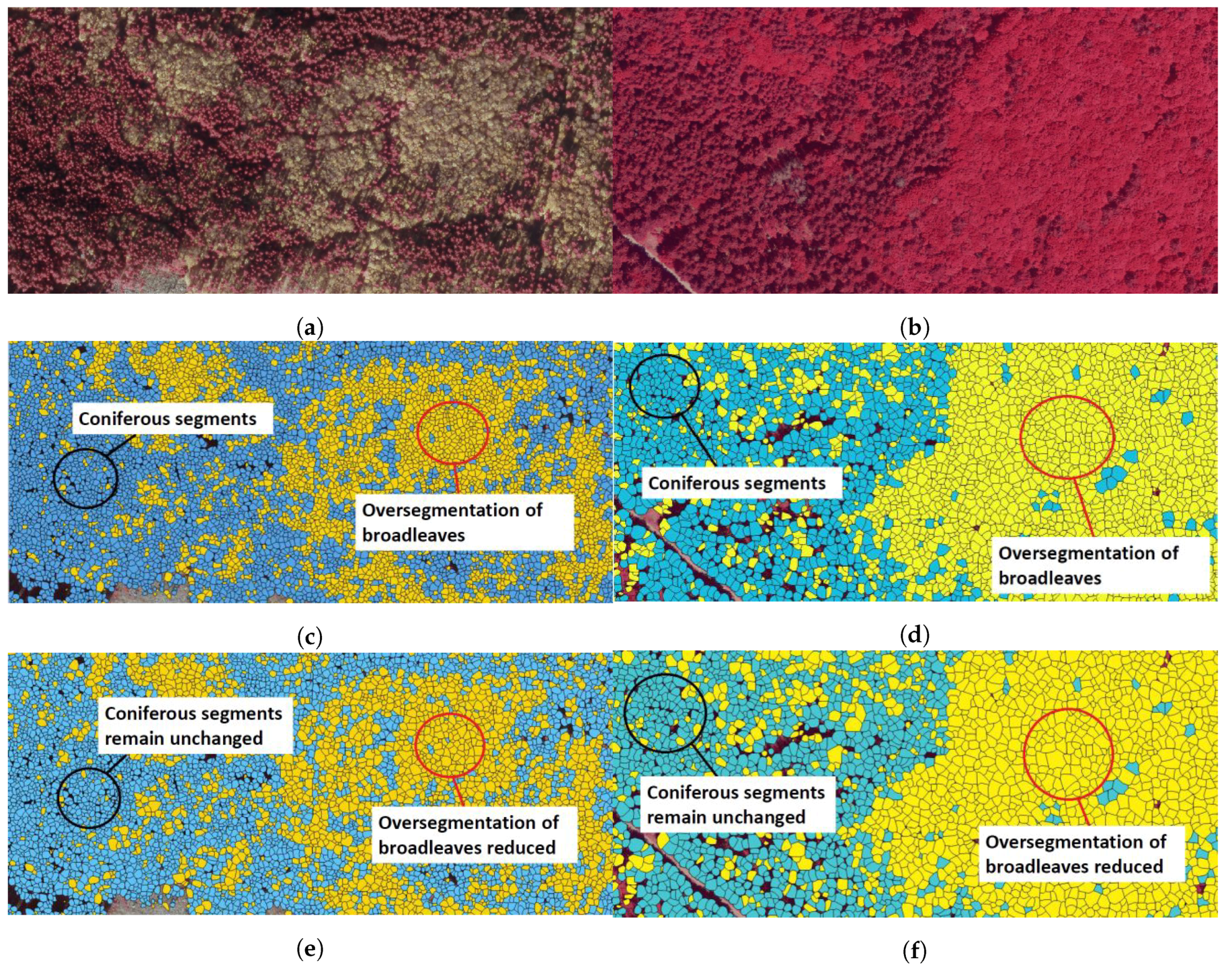
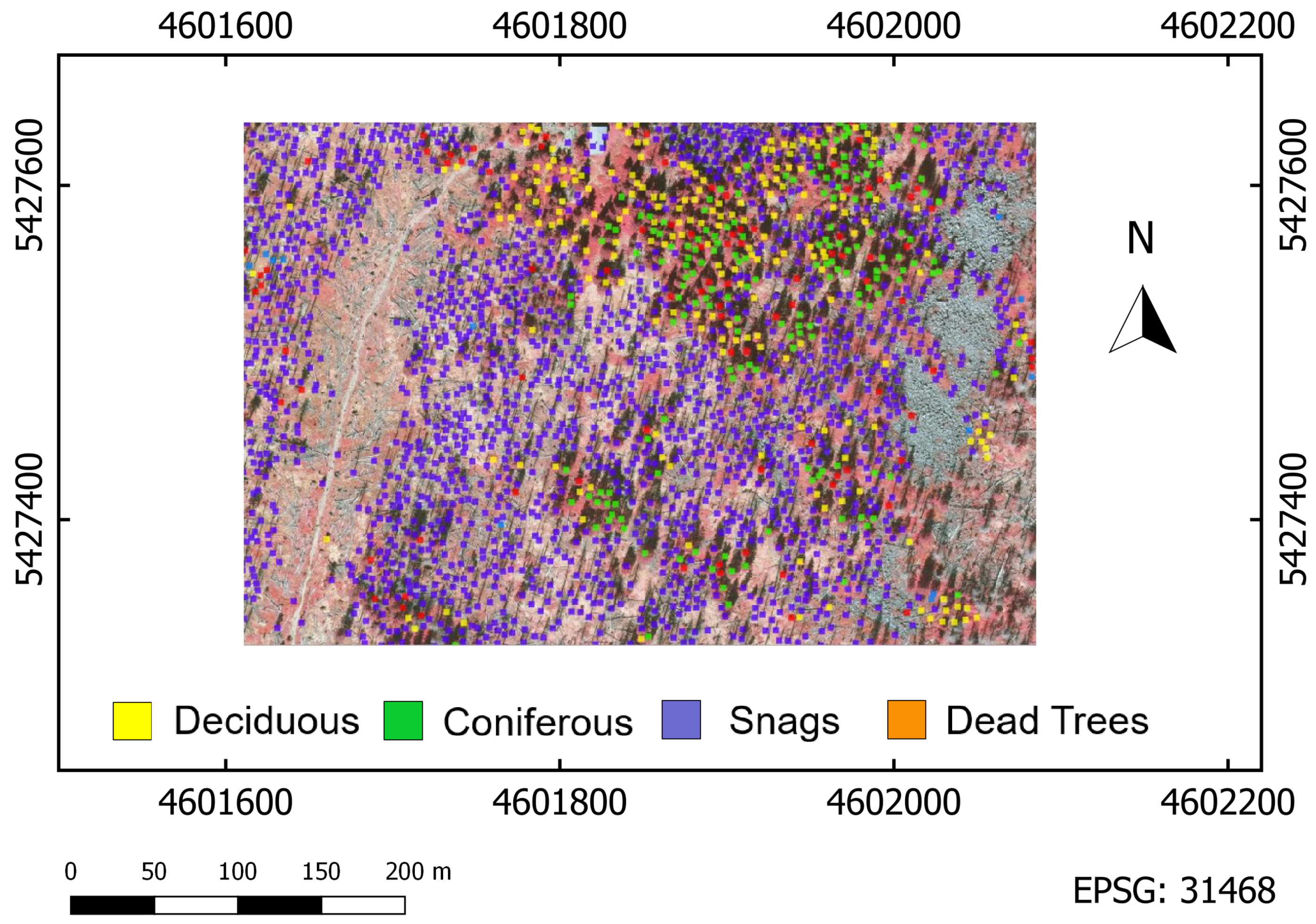
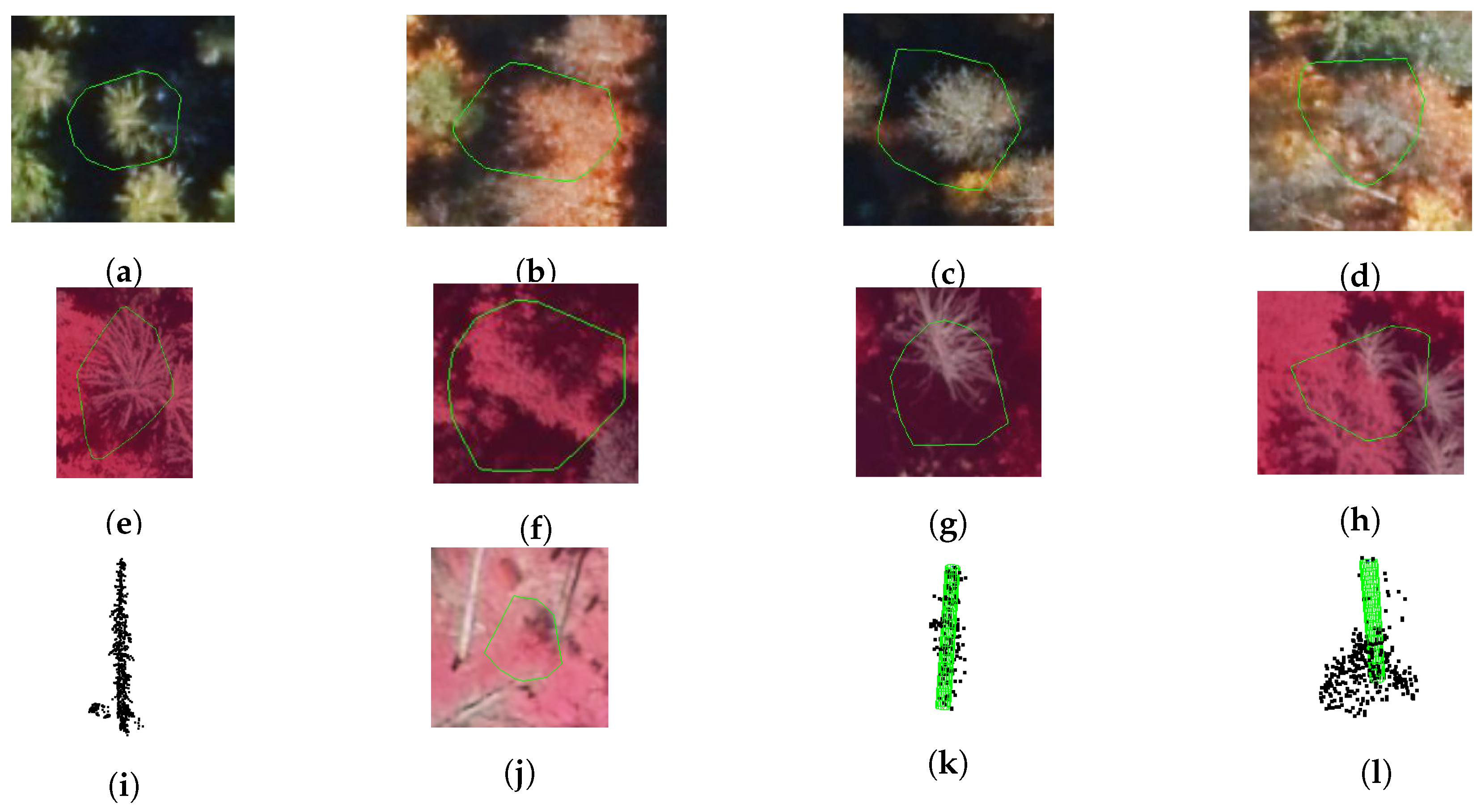
Knowledge of forest structures—and of dead wood in particular—is fundamental to understanding, managing, and preserving the biodiversity of our forests. Lidar is a valuable technology for the area-wide mapping of trees in 3D because of its capability to penetrate vegetation. In essence, this technique enables the detection of single trees and their properties in all forest layers. This paper highlights a successful mapping of tree species—subdivided into conifers and broadleaf trees—and standing dead wood in a large forest 924 km2 in size. As a novelty, we calibrate the critical stopping criterion of the tree segmentation based on a normalized cut with regard to coniferous and broadleaf trees. The experiments were conducted in Šumava National Park and Bavarian Forest National Park. For both parks, lidar data were acquired at a point density of 55 points/m2. Aerial multispectral imagery was captured for Šumava National Park at a ground sample distance (GSD) of 17 cm and for Bavarian Forest National Park at 9.5 cm GSD. Classification of the two tree groups and standing dead wood—located in areas of pest infestation—is based on a diverse set of features (geometric, intensity-based, 3D shape contexts, multispectral-based) and well-known classifiers (Random forest and logistic regression). We show that the effect of under- and oversegmentation can be reduced by the modified normalized cut segmentation, thereby improving the precision by 13%. Conifers, broadleaf trees, and standing dead trees are classified with overall accuracies better than 90%. All in all, this experiment demonstrates the feasibility of large-scale and high-accuracy mapping of single conifers, broadleaf trees, and standing dead trees using lidar and aerial imagery.
Keywords: classification; segmentation; single trees; forest structure analysis; dead wood classification; segmentation; single trees; forest structure analysis; dead wood
Graphical Abstract