Article

Potential of Sentinel-1 Data for Spatially and Temporally High-Resolution Detection of Drought Affected Forest Stands
Earth Observation and Climate Processes, Trier University, 54286 Trier, Germany
*
Author to whom correspondence should be addressed.
Forests 2022, 13(12), 2148; https://doi.org/10.3390/f13122148
Submission received: 28 October 2022 / Revised: 24 November 2022 / Accepted: 13 December 2022 / Published: 15 December 2022

Abstract

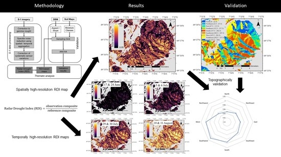
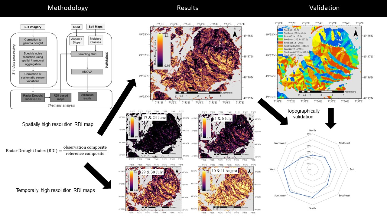
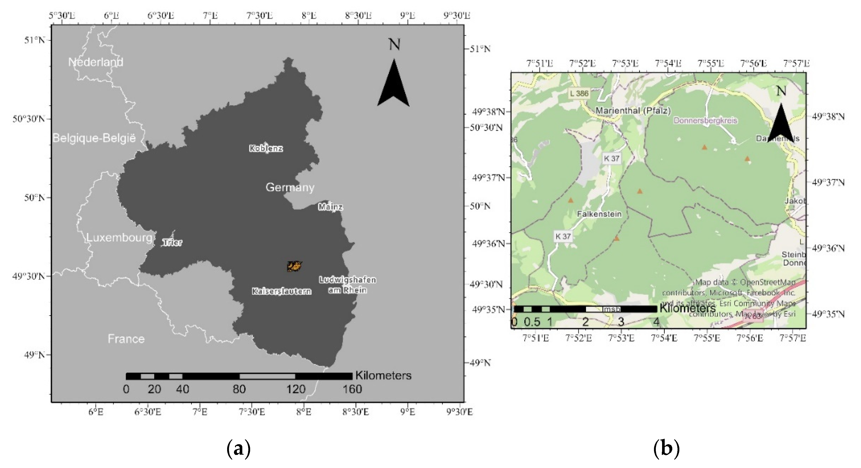
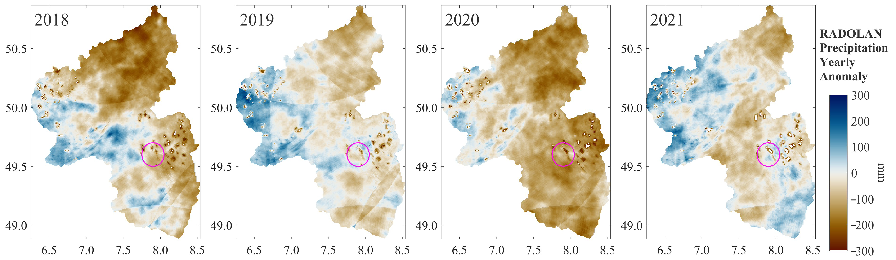
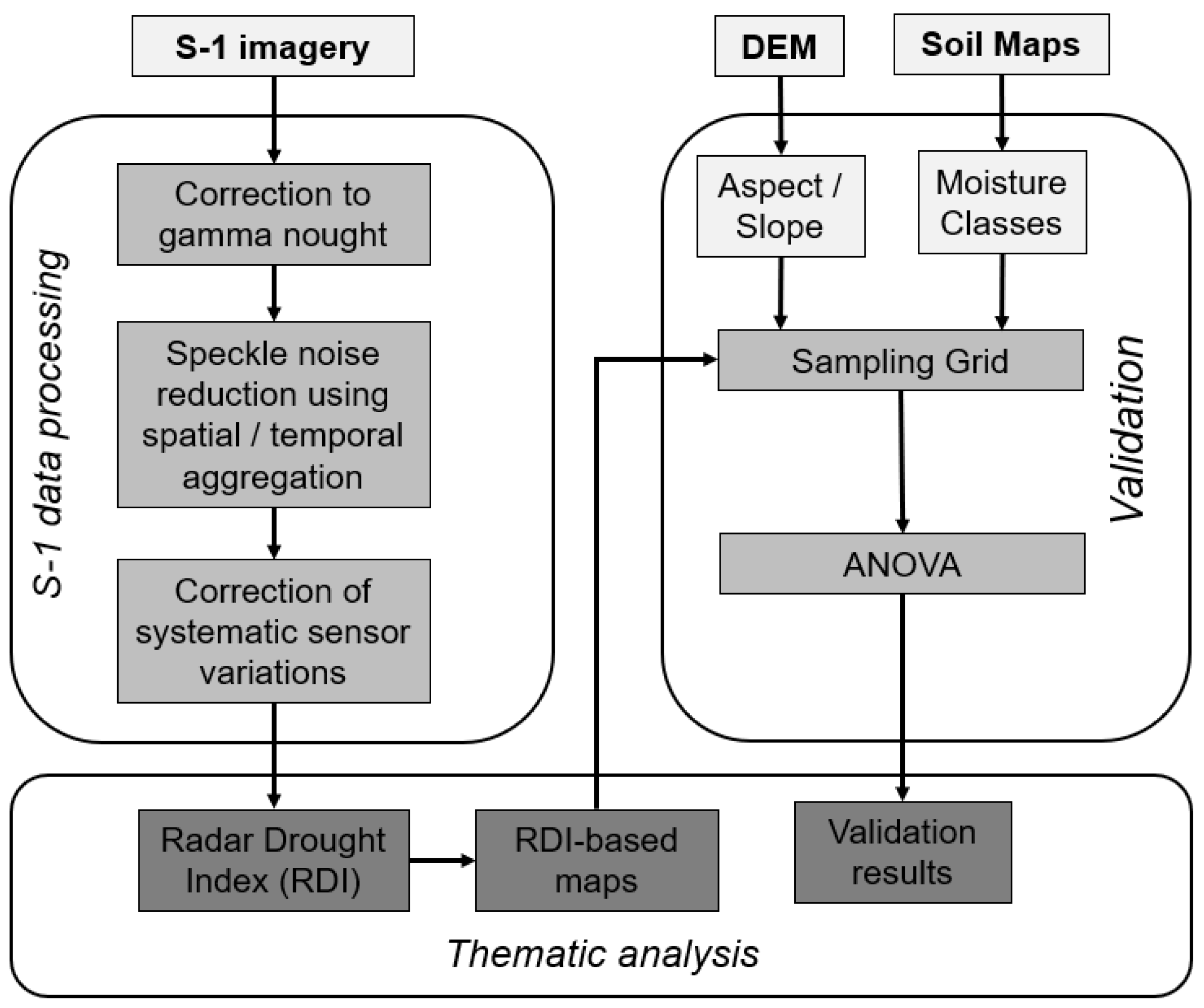
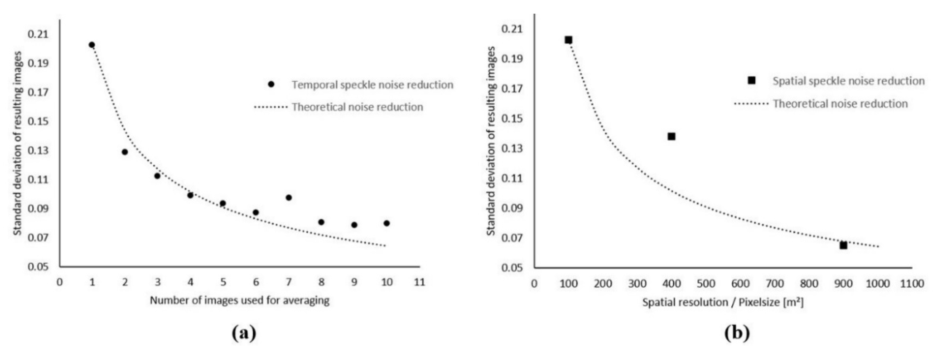
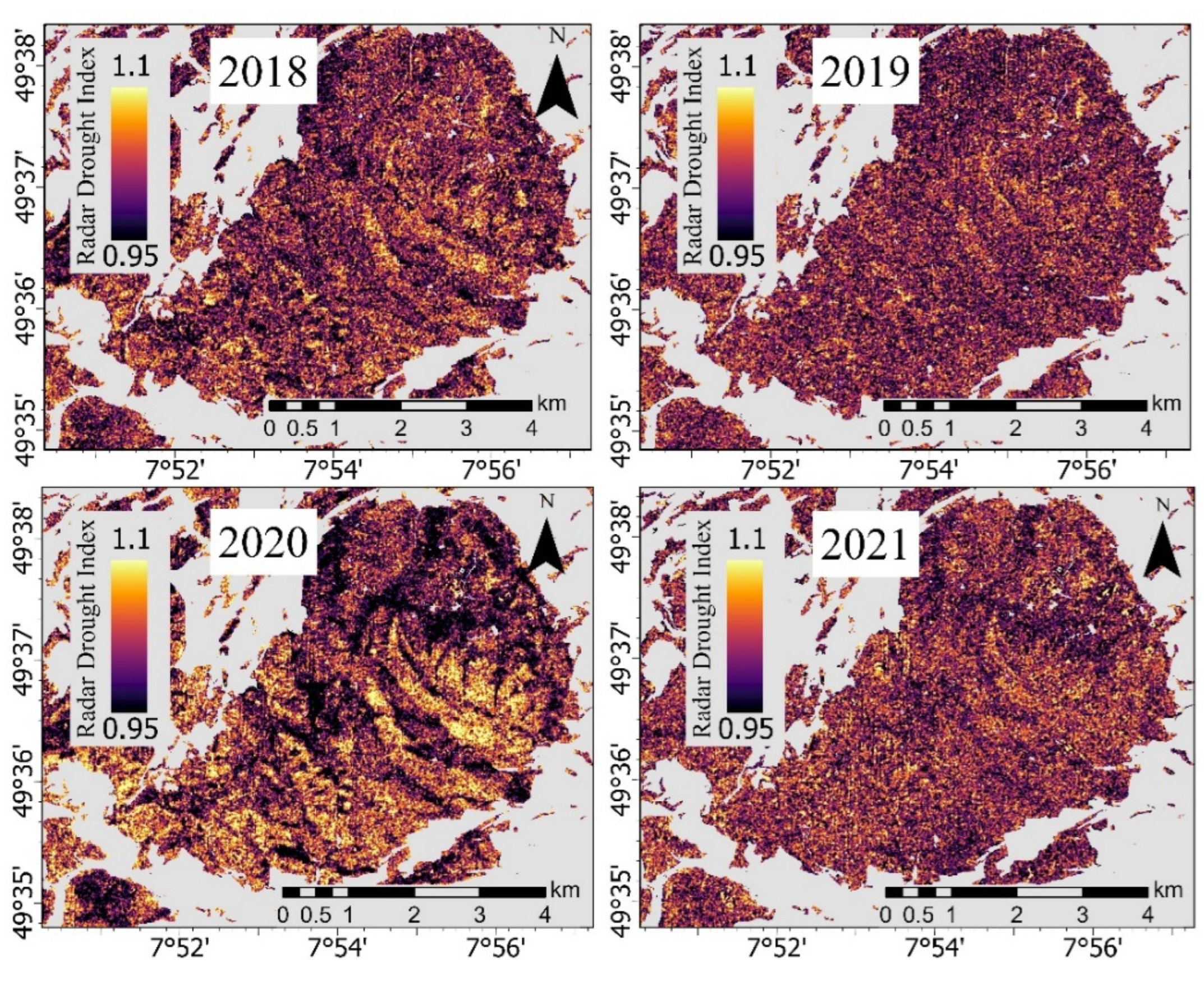
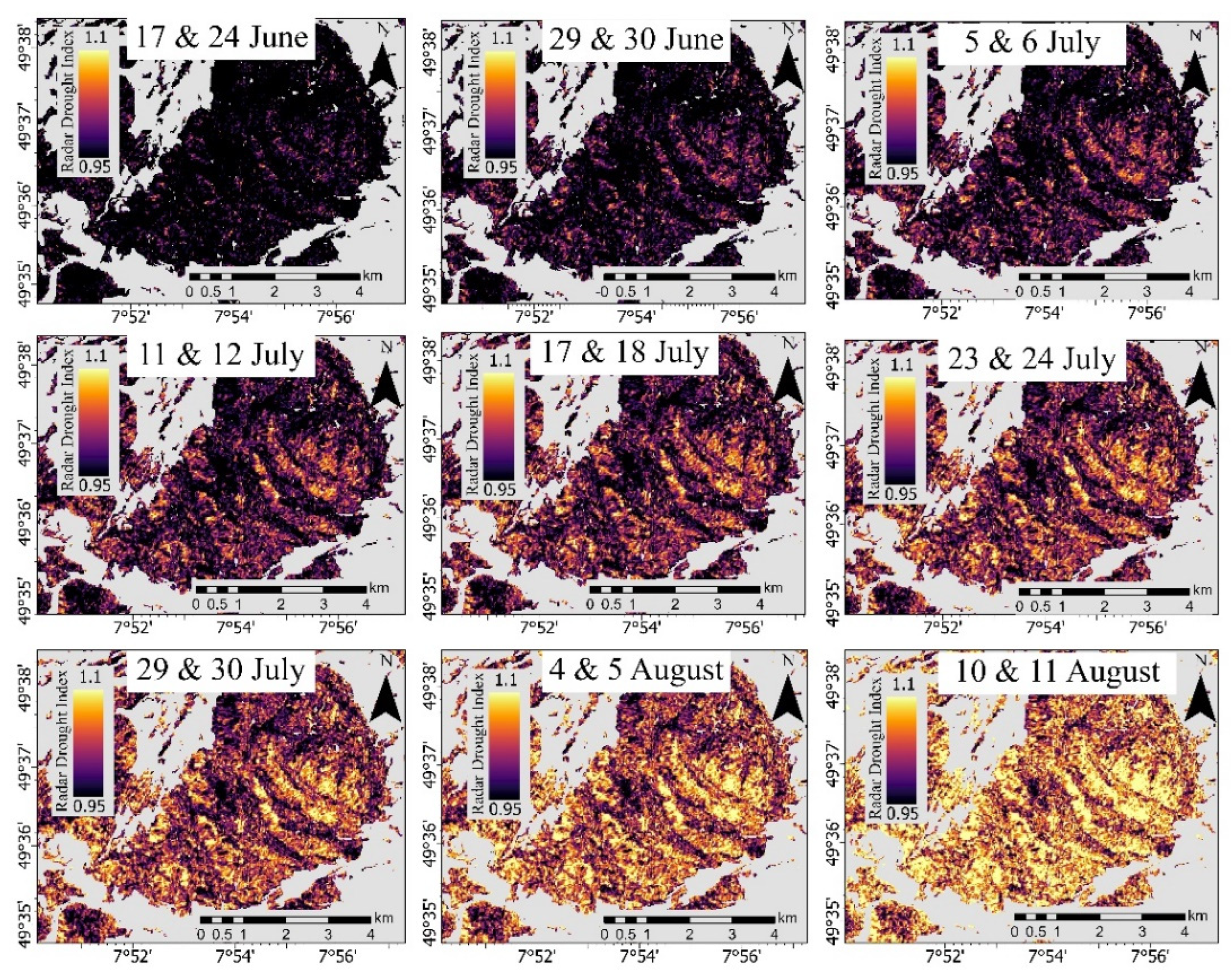
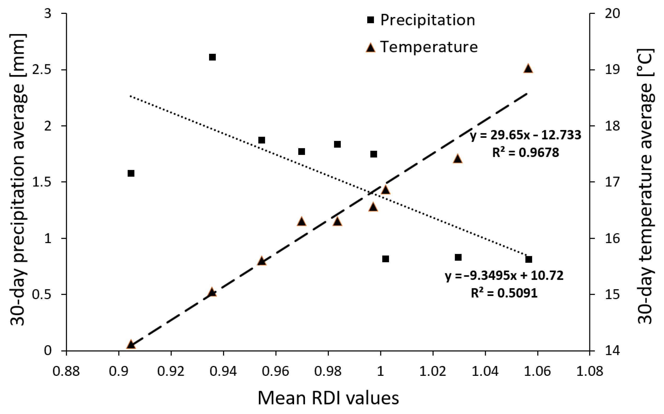
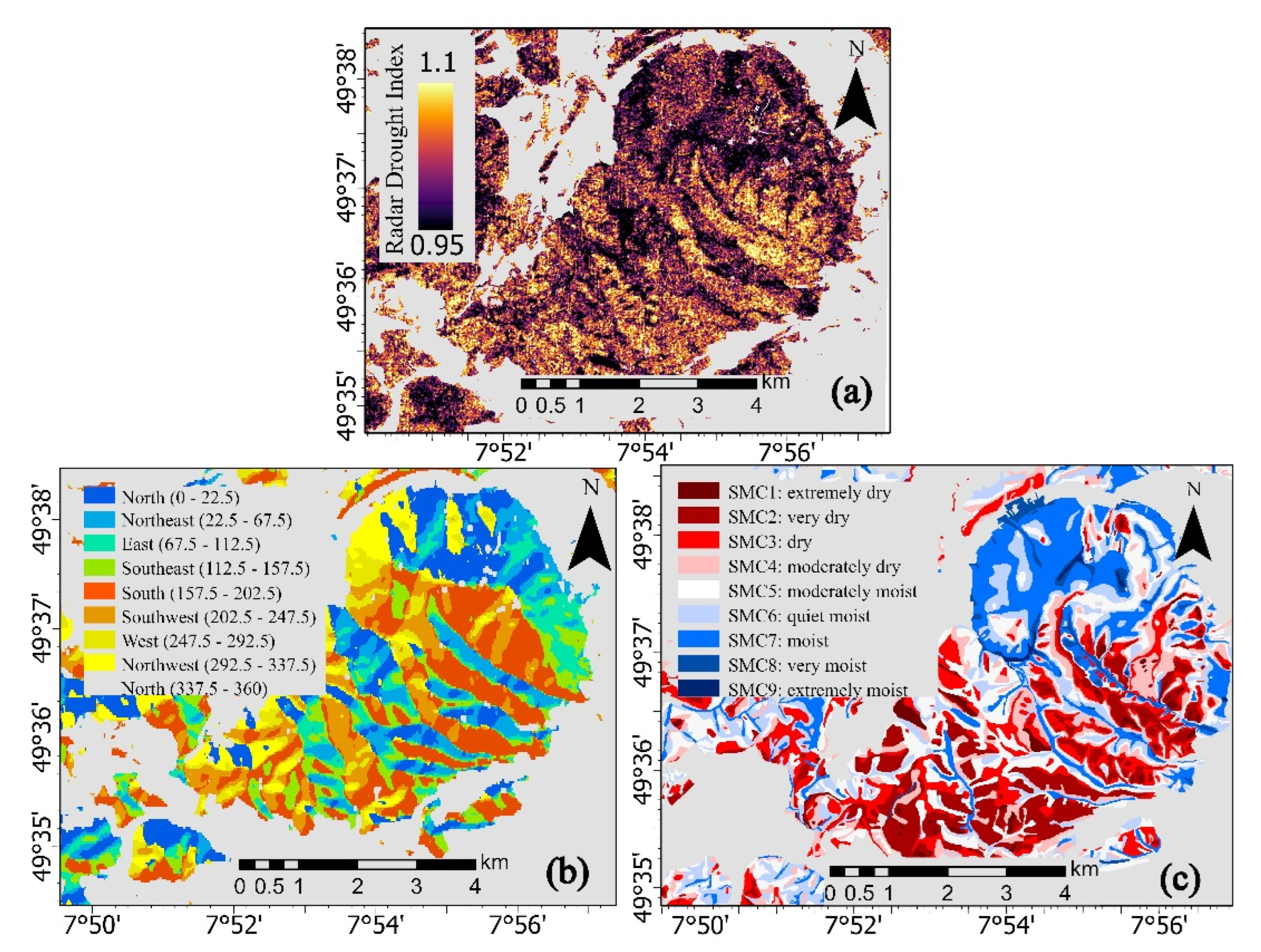
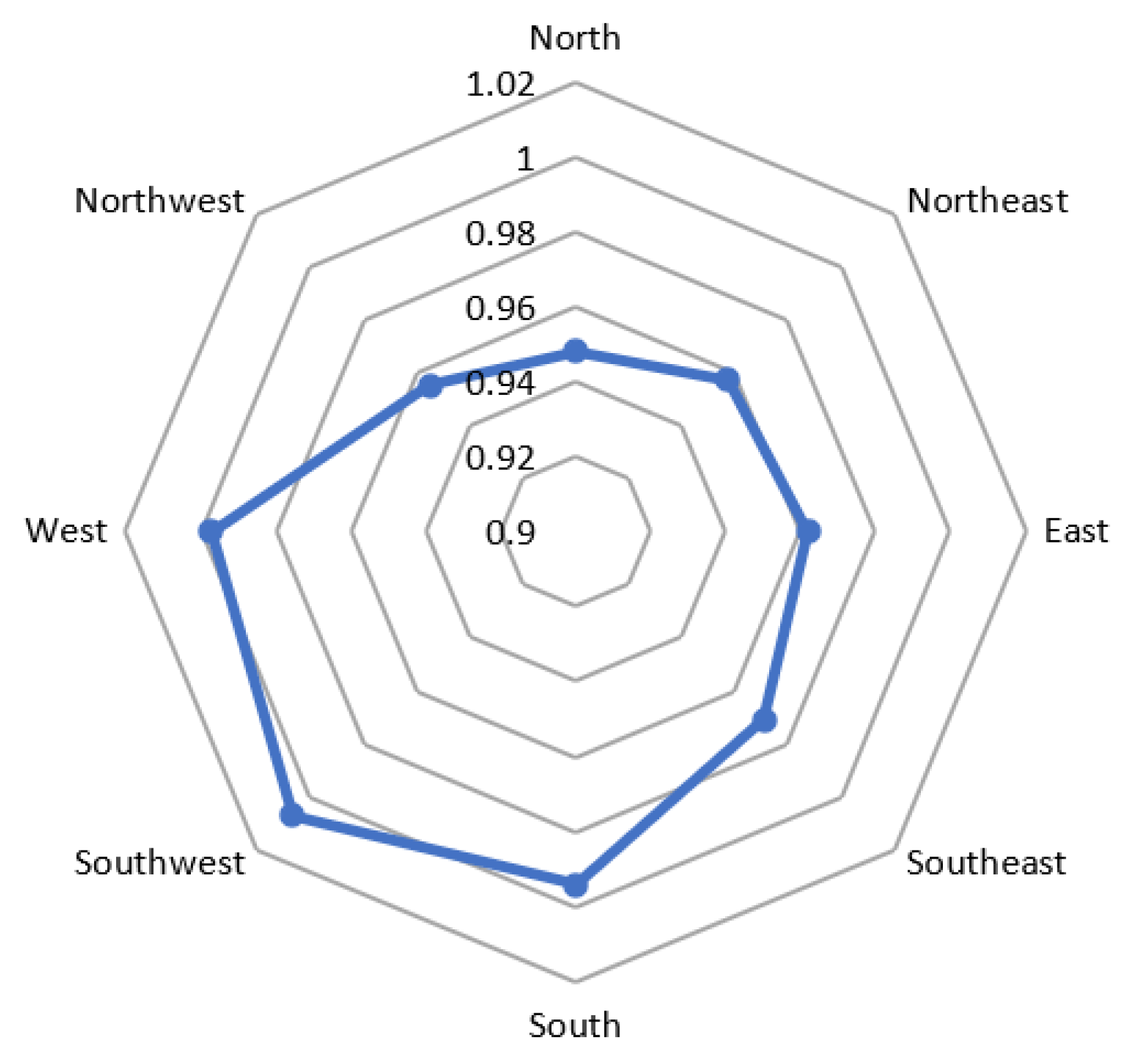
A timely and spatially high-resolution detection of drought-affected forest stands is important to assess and deal with the increasing risk of forest fires. In this paper, we present how multitemporal Sentinel-1 synthetic aperture radar (SAR) data can be used to detect drought-affected and fire-endangered forest stands in a spatially and temporally high resolution. Existing approaches for Sentinel-1 based drought detection currently do not allow to deal simultaneously with all disturbing influences of signal noise, topography and visibility geometry on the radar signal or do not produce pixel-based high-resolution drought detection maps of forest stands. Using a novel Sentinel-1 Radar Drought Index (RDI) based on temporal and spatial averaging strategies for speckle noise reduction, we present an efficient methodology to create a spatially explicit detection map of drought-affected forest stands for the year 2020 at the Donnersberg study area in Rhineland-Palatinate, Germany, keeping the Sentinel-1 maximum spatial resolution of 10 m × 10 m. The RDI showed significant (p < 0.05) drought influence for south, south-west and west-oriented slopes. Comparable spatial patterns of drought-affected forest stands are shown for the years 2018, 2019 and with a weaker intensity for 2021. In addition, the assessment for summer 2020 could also be reproduced with weekly repetition, but spatially coarser resolution and some limitations in the quality of the resulting maps. Nevertheless, the mean RDI values of temporally high-resolution drought detection maps are highly correlated (R2 = 0.9678) with the increasing monthly mean temperatures in 2020. In summary, this study demonstrates that Sentinel-1 data can play an important role for the timely detection of drought-affected and fire-prone forest areas, since availability of observations does not depend on cloud cover or time of day.
Keywords: SAR; Sentinel-1; drought; forests; fire; radar SAR; Sentinel-1; drought; forests; fire; radar
Graphical Abstract