
This is an early access version, the complete PDF, HTML, and XML versions will be available soon.
Article

Improving Daily Satellite-Based Precipitation Estimates Using Iterative Combination Methods in Bolivia

1
Centro de Investigaciones en Ingeniería Civil y Ambiental, Universidad Privada Boliviana, Cochabamba 3967, Bolivia
2
Sensing System Area, Graduate School of Engineering, Osaka University , 2-1 Yamadaoka, Suita, Osaka 565-0871, Japan
*
Author to whom correspondence should be addressed.
Meteorology 2026, 5(4), 33; https://doi.org/10.3390/meteorology5040033

Submission received: 6 August 2026 / Revised: 3 September 2026 / Accepted: 18 September 2026 / Published: 1 October 2026

Abstract

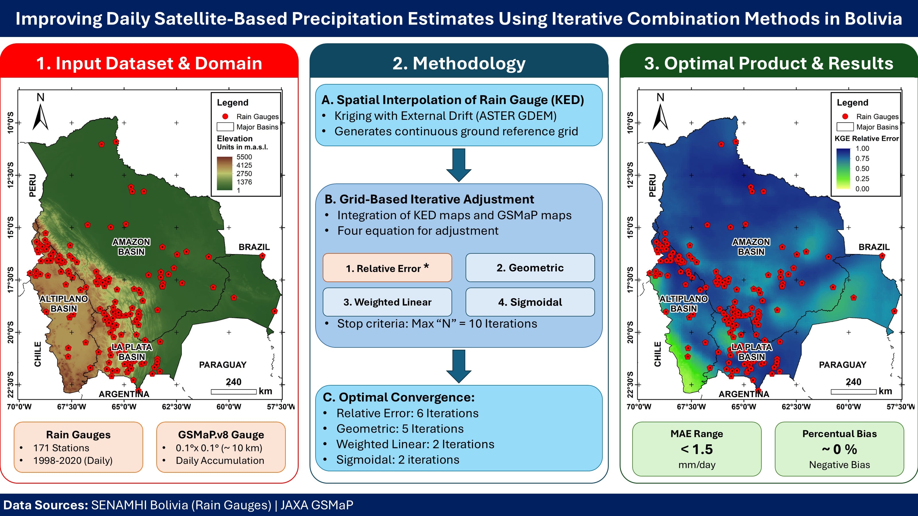
This study evaluated satellite-based precipitation in Bolivia using a combination framework with four equations: relative error, geometric, weighted linear, and sigmoidal. These were compared to enhance daily GSMaP_Gauge V8 estimates. Considering elevation variability, the interpolation method KED proved critical to obtain proper rainfall patterns. The conventional method OK showed weak performance indicators (R2 = 0.18, NSE = -4.19, PBias = 48.28%). In contrast, the KED approach restored spatial continuity and predictive capability nationwide (R2 = 0.71, NSE = 0.68, KGE = 0.79, PBias = 11.24%, RMSE = 1.3 mm/day). Therefore, it provided a more consistent bias correction. On the other hand, sensitivity heat maps demonstrate that iterative algorithms require strict bounding. Specifically, iterating beyond optimal thresholds (N > 6 for relative error; N > 5 for geometric; N > 2 for weighted linear and sigmoidal) triggers exponential residual amplification. The optimized framework successfully bridges the gap between rain-gauge accuracy and gridded estimates in ungauged zones. The relative error showed best performance in the Amazon region, with geometric on the Altiplano plateau, and weighted linear in La Plata basin. These products yield reliable daily precipitation estimates for hydrological modeling, water-resource management, and climate change assessments in Bolivia. Finally, this approach can also be applied in other countries, identifying proper combination methods per hydrologic units.
Keywords: satellite-based precipitation product; GSMaP; precipitation; Bolivia; combination methods satellite-based precipitation product; GSMaP; precipitation; Bolivia; combination methods
Graphical Abstract