Article

Power Corridor Safety Hazard Detection Based on Airborne 3D Laser Scanning Technology

1
School of Earth and Environment, Anhui University of Science & Technology, Huainan 232001, China
2
China Nuclear Industry Survey Design & Research Co., Ltd., Zhengzhou 450002, China
*
Author to whom correspondence should be addressed.
ISPRS Int. J. Geo-Inf. 2024, 13(11), 392; https://doi.org/10.3390/ijgi13110392
Submission received: 31 July 2024 / Revised: 19 October 2024 / Accepted: 30 October 2024 / Published: 1 November 2024

Abstract

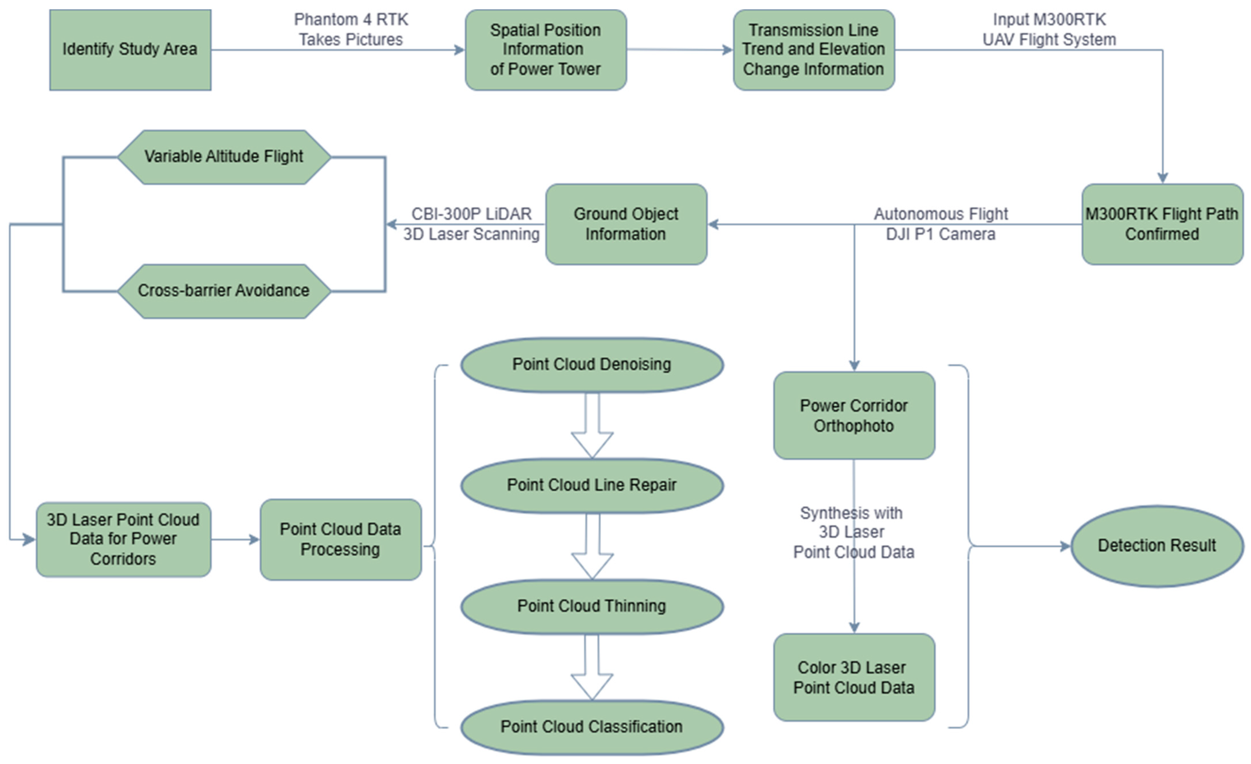
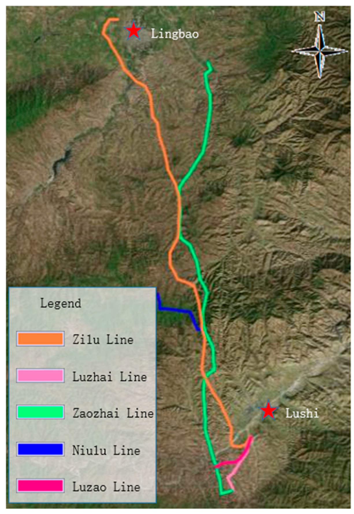
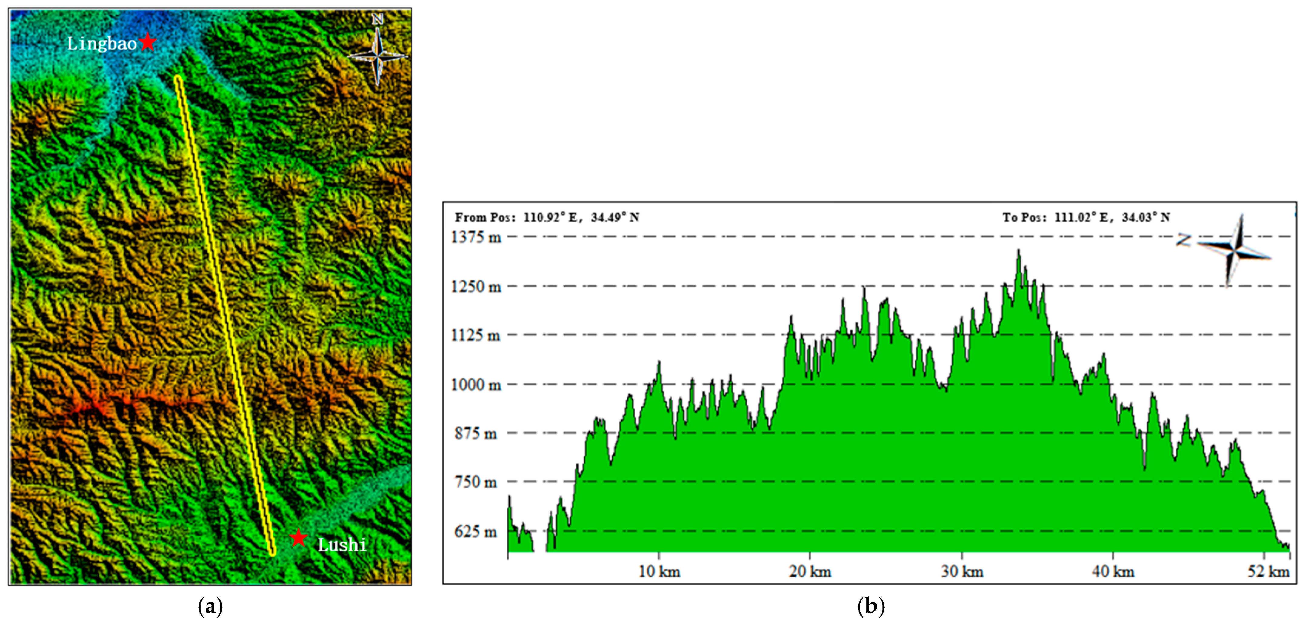
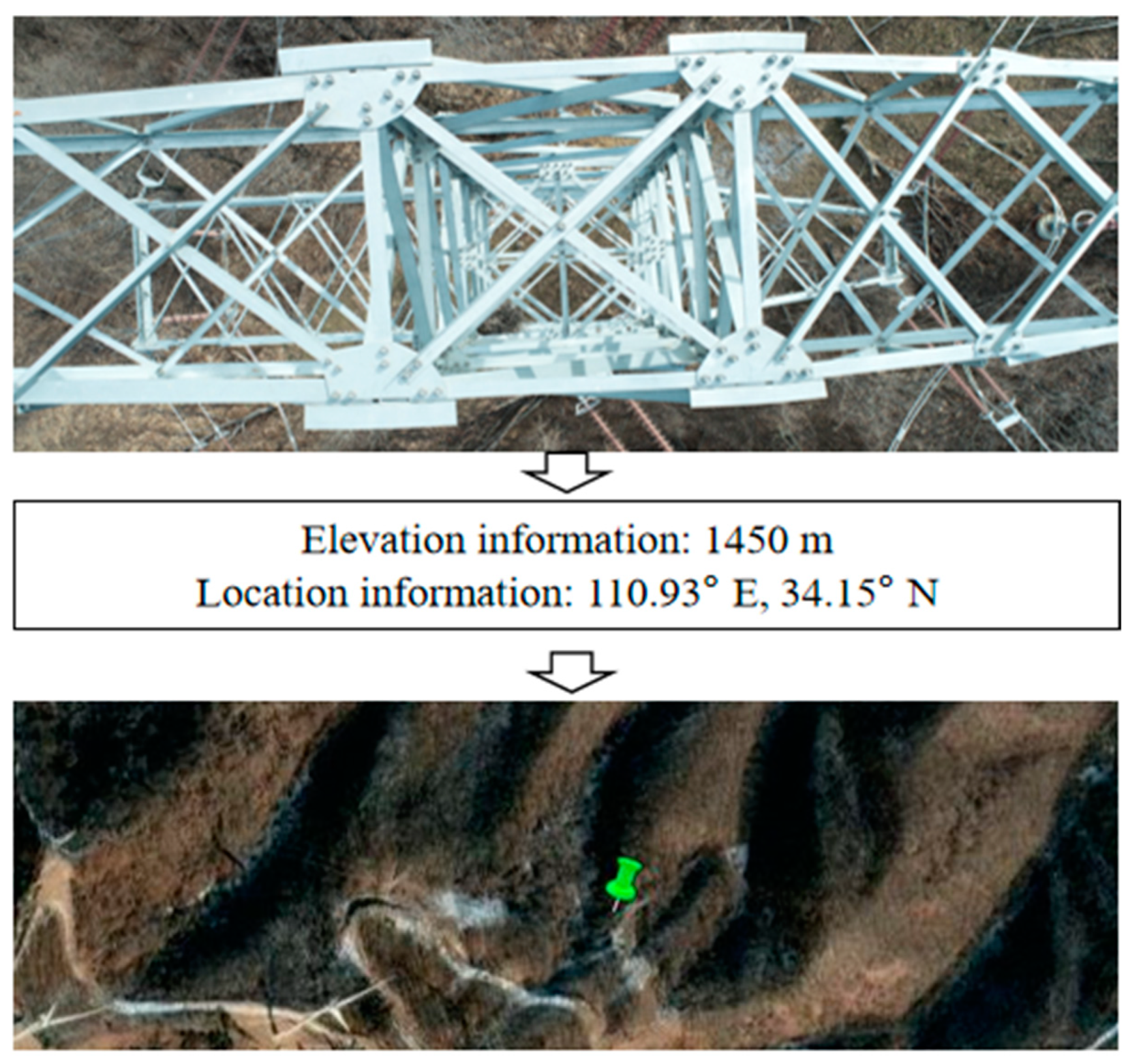
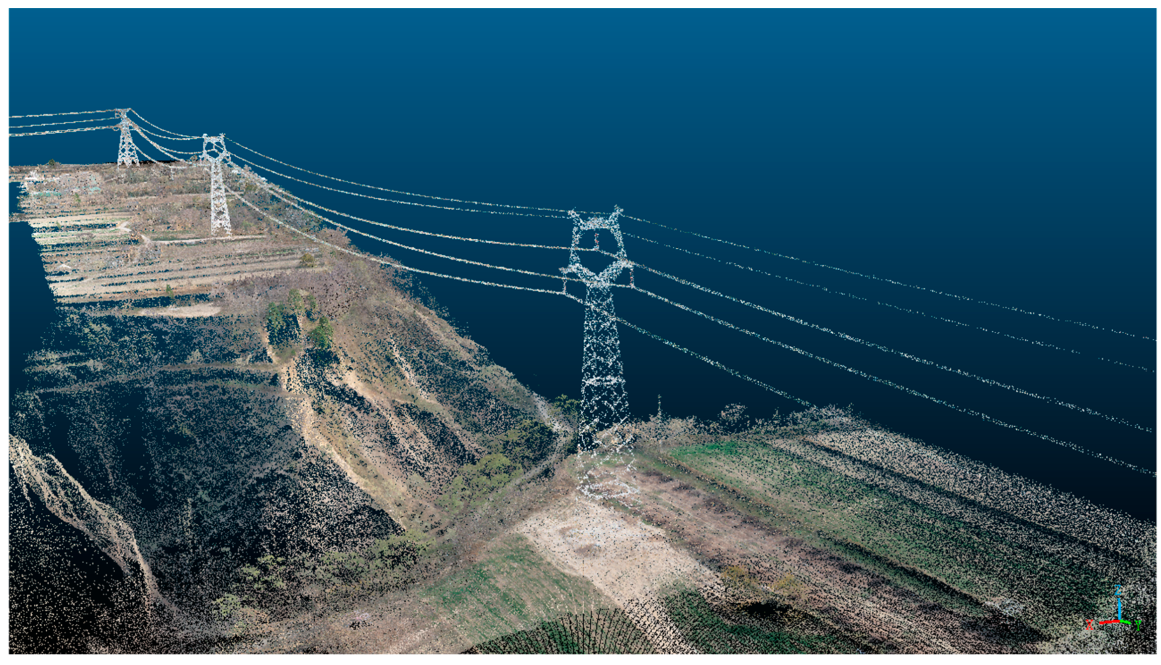
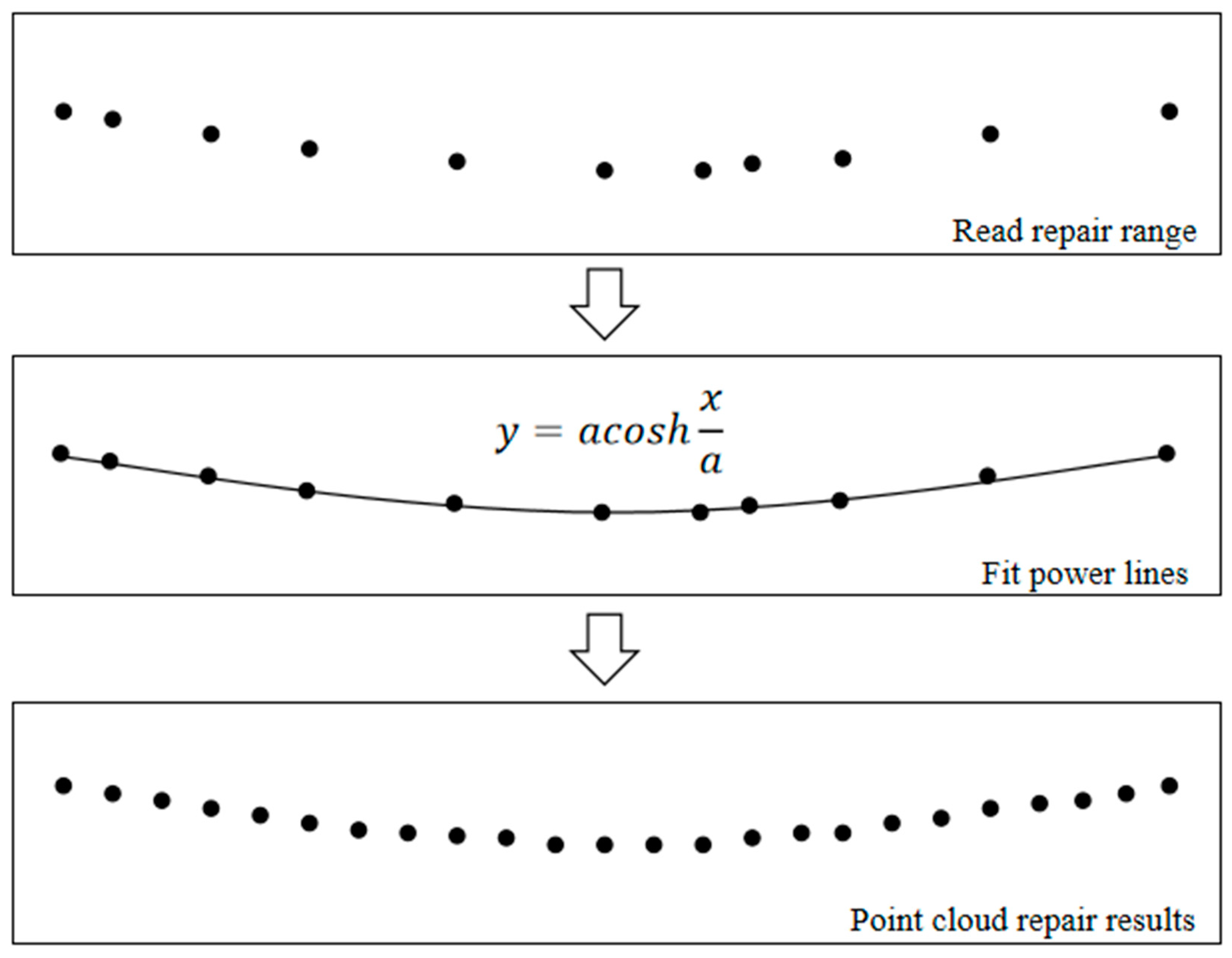
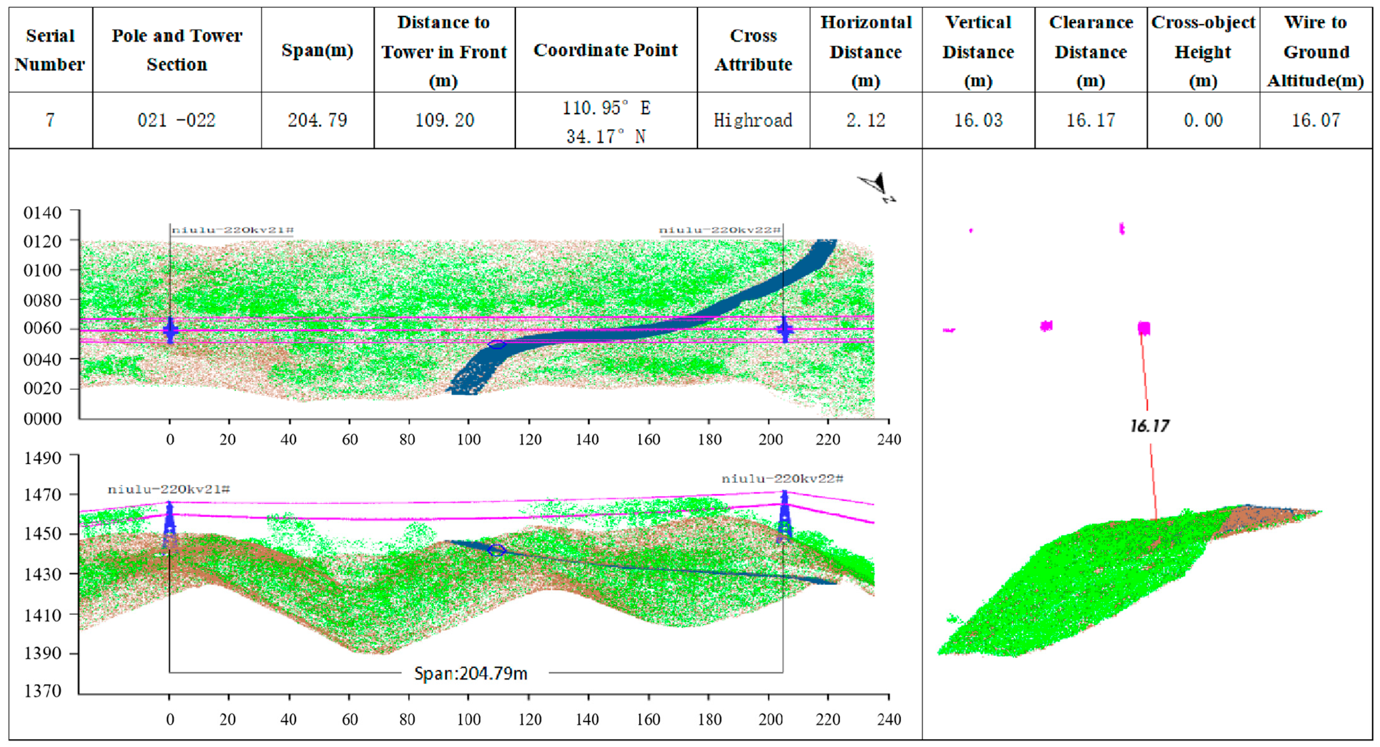
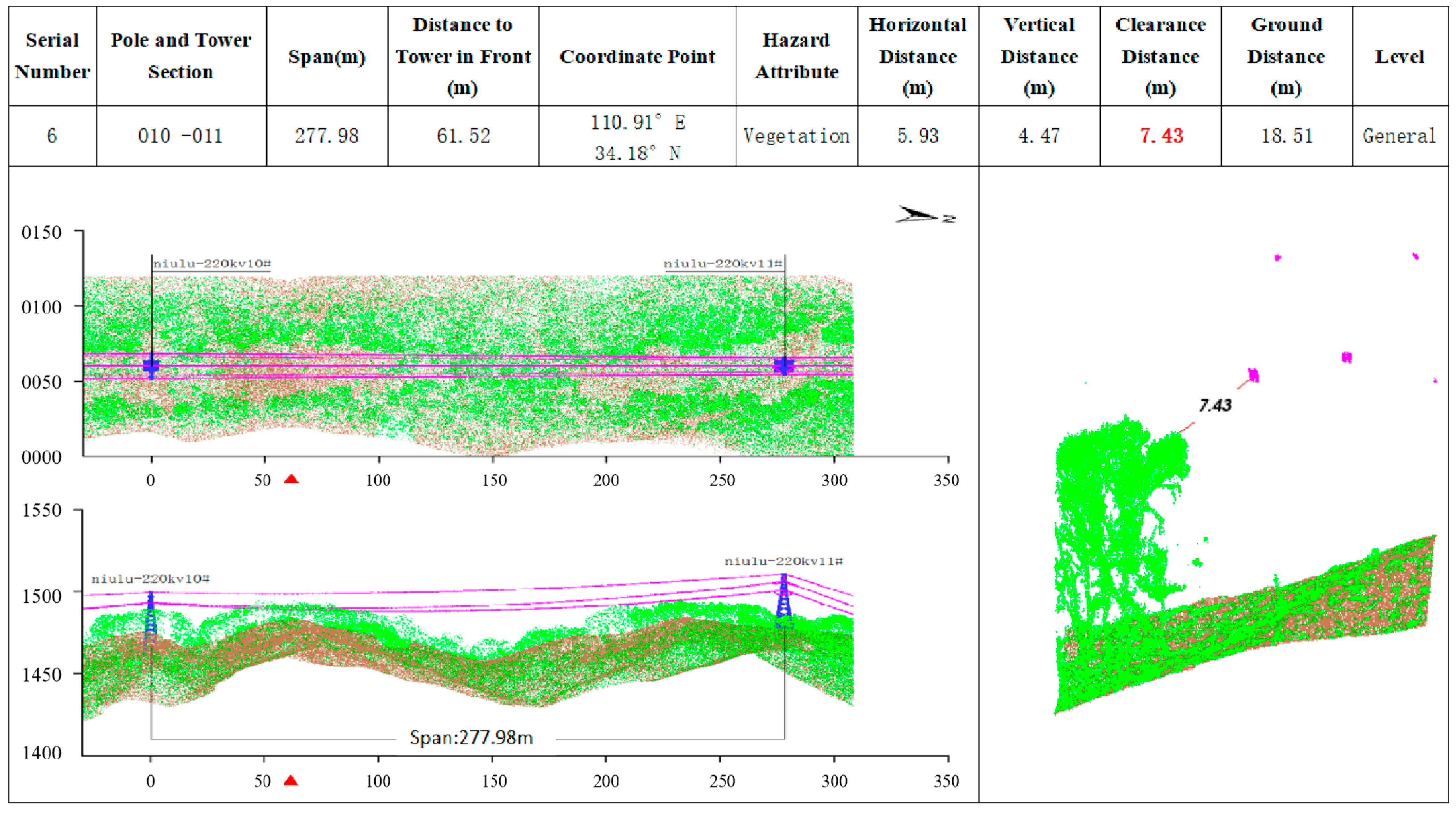
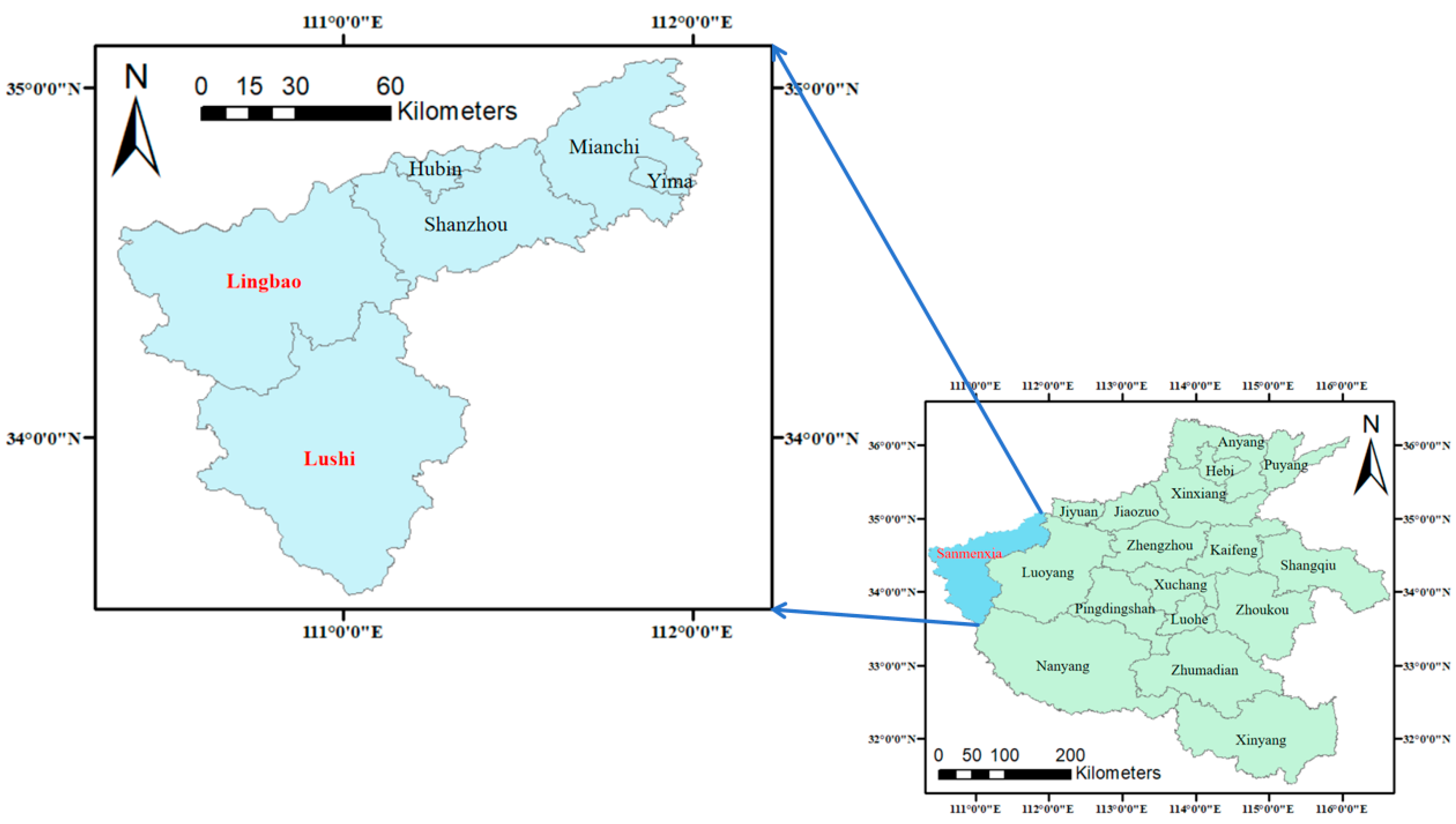
Overhead transmission lines are widely deployed across both mountainous and plain areas and serve as a critical infrastructure for China’s electric power industry. The rapid advancement of three-dimensional (3D) laser scanning technology, with airborne LiDAR at its core, enables high-precision and rapid scanning of the detection area, offering significant value in identifying safety hazards along transmission lines in complex environments. In this paper, five transmission lines, spanning a total of 160 km in the mountainous area of Sanmenxia City, Henan Province, China, serve as the primary research objects and generate several insights. The location and elevation of each power tower pole are determined using an Unmanned Aerial Vehicle (UAV), which assesses the direction and elevation changes in the transmission lines. Moreover, point cloud data of the transmission line corridor are acquired and archived using a UAV equipped with LiDAR during variable-height flight. The data processing of the 3D laser point cloud of the power corridor involves denoising, line repair, thinning, and classification. By calculating the clearance, horizontal, and vertical distances between the power towers, transmission lines, and other surface features, in conjunction with safety distance requirements, information about potential hazards can be generated. The results of detecting these five transmission lines reveal 54 general hazards, 22 major hazards, and an emergency hazard in terms of hazards of the vegetation type. The type of hazard in the current working condition is mainly vegetation, and the types of cross-crossing hazards are power lines and buildings. The detection results are submitted to the local power department in a timely manner, and relevant measures are taken to eliminate hazards and ensure the normal supply of power resources. The research in this paper will provide a basis and an important reference for identifying the potential safety hazards of transmission lines in Henan Province and other complex environments and solving existing problems in the manual inspection of transmission lines.
Keywords: transmission lines; power corridors; airborne 3D laser scanning; hazard detection; complex environment transmission lines; power corridors; airborne 3D laser scanning; hazard detection; complex environment