


Error in Figure
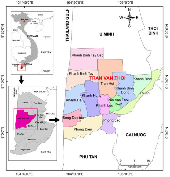
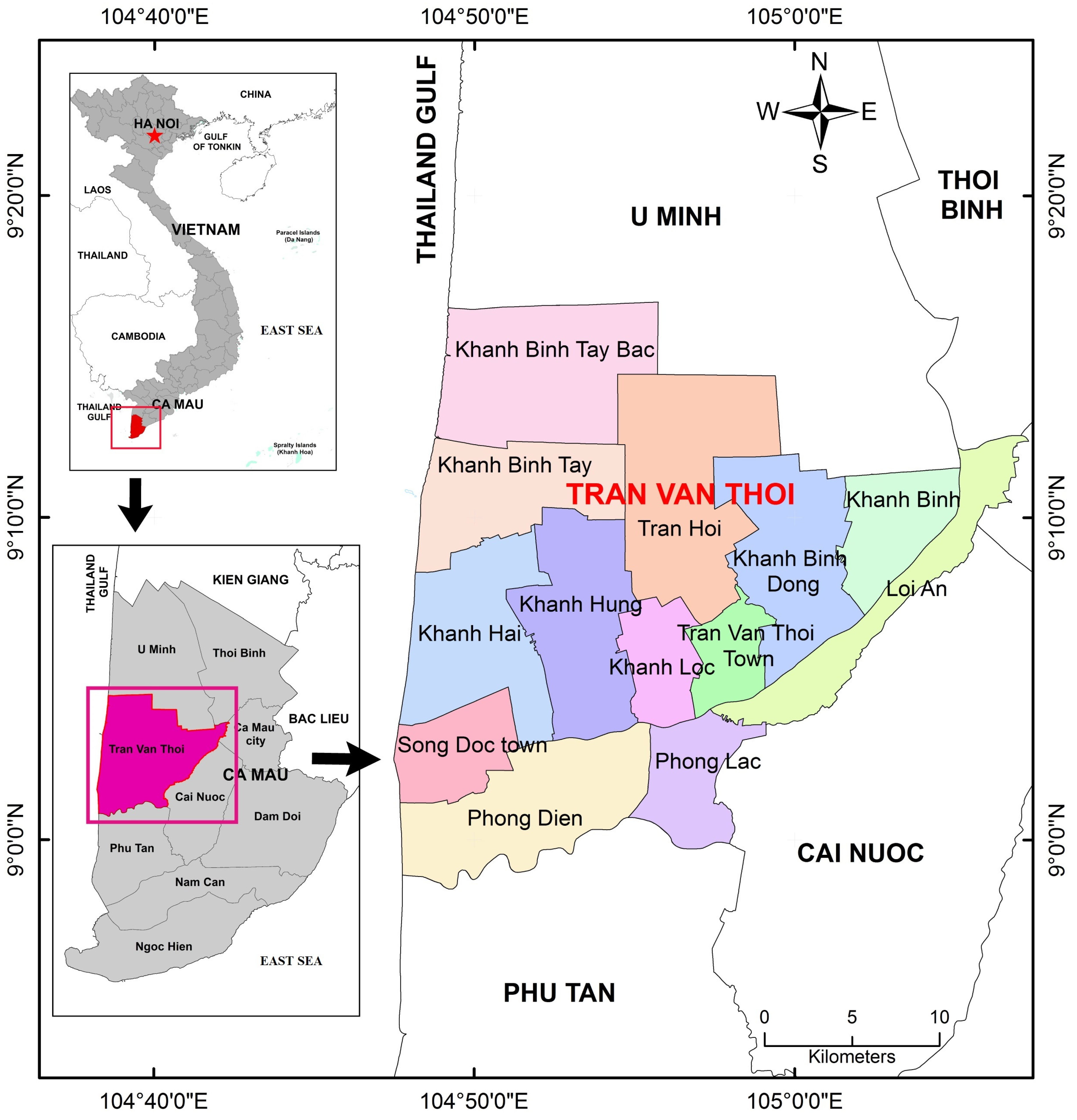
In the original publication [1], there was a mistake in Figure 1 as published. The published maps did not fully comply with the guidelines of the Ministry of Natural Resources and Environment (renamed the Ministry of Agriculture and Environment from March 2025) of Vietnam. Specifically, Figure 1 needs to include a missing important landmark: ‘East Sea’. The revised figure ensures accurate geographical representation while maintaining all other elements and interpretations. The authors would like to apologize for any inconvenience caused.
The following text is added to Section 2. Study Area of the original publication: “Throughout this article, by the term ‘East Sea’ the authors imply to the body of water adjacent to Vietnam. Using ‘East Sea’ aligns with Vietnam’s official nomenclature, according to the regulations of the Vietnamese Ministry of Natural Resources and Environment (No. 47/2014/TT-BTNMT, Technical Regulations on Administrative Maps of All Levels), and more accurately reflects the localized context of the study”.
The corrected Figure 1 appears below. The authors state that the scientific conclusions are unaffected. This correction was approved by the Academic Editor. The original publication has also been updated.
Figure 1.
Location of the Tran Van Thoi District, in the Ca Mau Province, the southernmost one of Vietnam. The district is administratively subdivided in 13 municipalities.
Reference
- Tran, H.; Tran, T.; Kervyn, M. Dynamics of Land Cover/Land Use Changes in the Mekong Delta, 1973–2011: A Remote Sensing Analysis of the Tran Van Thoi District, Ca Mau Province, Vietnam. Remote Sens. 2015, 7, 2899–2925. [Google Scholar] [CrossRef] [Scilit]
Disclaimer/Publisher’s Note: The statements, opinions and data contained in all publications are solely those of the individual author(s) and contributor(s) and not of MDPI and/or the editor(s). MDPI and/or the editor(s) disclaim responsibility for any injury to people or property resulting from any ideas, methods, instructions or products referred to in the content. |
© 2026 by the authors. Licensee MDPI, Basel, Switzerland. This article is an open access article distributed under the terms and conditions of the Creative Commons Attribution (CC BY) license.