water-logo

Journal Browser

Journal Browser

Landslide and Slope Stability Risk Assessment: Study of Rainfall-Induced Shallow Landslide

A special issue of Water (ISSN 2073-4441). This special issue belongs to the section "Hydrogeology".

Deadline for manuscript submissions: 10 November 2026 | Viewed by 2351

Editor


E-Mail Website
Guest Editor
School of Civil and Environmental Engineering, Faculty of Engineering, Queensland University of Technology, Brisbane, Australia
Interests: rainfall-induced landslide; landslide and geotechnical monitoring; pavement technology; mining geotechnics; expansive soils; unsaturated soils
Special Issues, Collections and Topics in MDPI journals

Special Issue Information

Dear Colleagues,

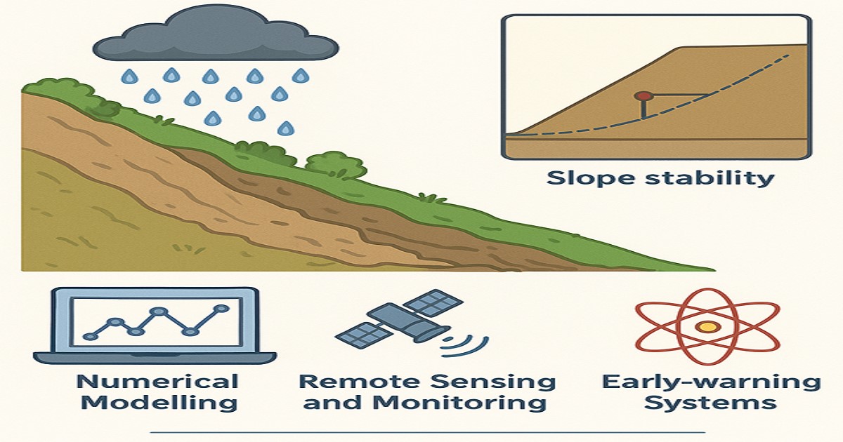
Rainfall-induced shallow landslides are among the most frequent and destructive natural hazards worldwide, threatening lives, infrastructure, and the environment. Increasing urbanisation in hilly terrains, together with more intense and unpredictable rainfall events caused by climate change, has heightened the urgency to advance our understanding and management of such hazards. Despite significant progress in field monitoring, modelling, and risk assessment, challenges remain in predicting triggering mechanisms, quantifying uncertainties, and developing effective early warning and mitigation strategies.

This Special Issue aims to provide a platform for researchers, engineers, and practitioners to share the latest advances in the assessment and management of rainfall-induced shallow landslides. Contributions are invited that enhance scientific knowledge, propose innovative methodologies, and demonstrate practical applications for hazard mitigation and risk reduction.

Topics of interest include, but are not limited to, the following:

  • Mechanisms and triggering factors of rainfall-induced shallow landslides;
  • Field monitoring techniques, sensor networks, and remote sensing applications;
  • Laboratory and numerical modelling approaches for slope stability analysis;
  • Probabilistic and deterministic methods for hazard and risk assessment;
  • Early warning systems and real-time forecasting tools;
  • Climate change impacts on landslide frequency and intensity;
  • Mitigation measures, engineering solutions, and community resilience strategies.

Dr. Chaminda Gallage
Guest Editor

Manuscript Submission Information

Manuscripts should be submitted online at www.mdpi.com by registering and logging in to this website. Once you are registered, click here to go to the submission form. Manuscripts can be submitted until the deadline. All submissions that pass pre-check are peer-reviewed. Accepted papers will be published continuously in the journal (as soon as accepted) and will be listed together on the special issue website. Research articles, review articles as well as short communications are invited. For planned papers, a title and short abstract (about 250 words) can be sent to the Editorial Office for assessment.

Submitted manuscripts should not have been published previously, nor be under consideration for publication elsewhere (except conference proceedings papers). All manuscripts are thoroughly refereed through a single-anonymized peer-review process. A guide for authors and other relevant information for submission of manuscripts is available on the Instructions for Authors page. Water is an international peer-reviewed open access semimonthly journal published by MDPI.

Please visit the Instructions for Authors page before submitting a manuscript. The Article Processing Charge (APC) for publication in this open access journal is 2600 CHF (Swiss Francs). Submitted papers should be well formatted and use good English. Authors may use MDPI's English editing service prior to publication or during author revisions.

Keywords

  • rainfall-induced shallow landslides
  • slope stability
  • landslide risk assessment
  • triggering mechanisms
  • numerical modelling
  • remote sensing and monitoring
  • early warning systems
  • climate change impacts
  • hazard mitigation
  • geotechnical engineering

Benefits of Publishing in a Special Issue

  • Ease of navigation: Grouping papers by topic helps scholars navigate broad scope journals more efficiently.
  • Greater discoverability: Special Issues support the reach and impact of scientific research. Articles in Special Issues are more discoverable and cited more frequently.
  • Expansion of research network: Special Issues facilitate connections among authors, fostering scientific collaborations.
  • External promotion: Articles in Special Issues are often promoted through the journal's social media, increasing their visibility.
  • Reprint: MDPI Books provides the opportunity to republish successful Special Issues in book format, both online and in print.

Further information on MDPI's Special Issue policies can be found here.

Published Papers (3 papers)

Order results
Result details
Select all
Export citation of selected articles as:

Research

27 pages, 2143 KB  
Article
Water Transport Characteristics and Their Impaction on Stability of Unsaturated Xiashu Loess Slopes During the Entire Process of Rainfall Infiltration
by Zhiyao Kuai, Xuan Zhang, Lian Liu, Juncheng Dai, Xue Gao, Yi Wang, Pan Xiao and Faming Zhang
Water 2026, 18(16), 1933; https://doi.org/10.3390/w18161933 - 7 Aug 2026
Abstract
The Xiashu loess in the middle and lower reaches of the Yangtze River with typical aeolian characteristics is widely distributed in the hilly areas and is the main kind of landslides in this area. The paper reveals the infiltration process of the Xiashu [...] Read more.
The Xiashu loess in the middle and lower reaches of the Yangtze River with typical aeolian characteristics is widely distributed in the hilly areas and is the main kind of landslides in this area. The paper reveals the infiltration process of the Xiashu loess slope under different rainfall intensity conditions on the basis of on-site artificial rainfall simulation tests and laboratory experiments. The distribution of pore water pressure inside the Xiashu loess slope under different rainfall intensity conditions were compared and analyzed. The relationship between rainfall intensity and water content at different depths was clarified, and the relation function among rainfall intensity conditions, slopes, and the ultimate depth and critical rainfall intensity of the Xiashu soil slope landslide is proposed. The research results indicate that: (1) the infiltration rate and depth of the soil at the foot of the slope are greater than those at the top and middle of the slope; (2) an increase in the rainfall duration is found to cause an increase in slope infiltration depth; (3) an increase in the rainfall duration can lead to a more significant influence of the infiltration depth under the slope angle; (4) the infiltration depth of rainfall with low intensities and long durations is larger than that of high intensities and short durations. Finally, the ultimate rainfall infiltration depth under different slope angles and rainfall conditions was determined. The research results can be used to forecast the Xiashu loses soil landslide scale, providing theoretical basis for early warning of instability of Xiashu loess slope under different unfavorable conditions. Full article
27 pages, 5257 KB  
Article
A Transferable Machine Learning Approach for Identifying Rainfall-Induced Cliff-Type (Shallow) Landslides in Seismic and Non-Seismic Regions
by Sushama De Silva, Taro Uchimura and Pang-jo Chun
Water 2026, 18(11), 1350; https://doi.org/10.3390/w18111350 - 2 Jun 2026
Viewed by 355
Abstract
Precise classification of landslide types is essential for effective hazard mitigation; however, many existing landslide inventories lack type-specific information, limiting their applicability in risk management. This study presents a transferable machine learning framework to identify rainfall-induced cliff-type (shallow) landslides from unclassified inventories across [...] Read more.
Precise classification of landslide types is essential for effective hazard mitigation; however, many existing landslide inventories lack type-specific information, limiting their applicability in risk management. This study presents a transferable machine learning framework to identify rainfall-induced cliff-type (shallow) landslides from unclassified inventories across seismic and non-seismic environments. Using the Forest-based and Boosted Classification and Regression (FBCR) tool in ArcGIS Pro 3.5, two models were developed using 25 landslide conditioning factors (LCFs) from Wakayama and Tokushima Prefectures, Japan. Both models achieved strong training performance, with accuracy and sensitivity exceeding 0.84, F1 scores of 0.84–0.85, and Matthews correlation coefficients (MCC) of 0.68–0.71. Transferability was assessed by applying both models to the Kegalle District, Sri Lanka, where the non-seismic model achieved approximately 80% spatial validation accuracy. Variable importance analysis revealed that rainfall consistently ranked as a high-influence LCF in both models—second in the seismic model and seventh in the non-seismic model—confirming its role as a primary conditioning factor for cliff-type shallow landslide susceptibility regardless of tectonic setting. The proposed framework provides a practical approach for complementing missing landslide type information in existing inventories, improving hazard zonation and supporting risk-informed planning in diverse geological and climatic settings. Full article
Show Figures

Figure 1

17 pages, 2198 KB  
Article
The Relationship Between Initiation of Landslides and Rainfall Intensity–Duration Thresholds in South-East Queensland, Australia
by Chaminda Gallage, Tharindu Abeykoon and Jessica Trofimovs
Water 2026, 18(11), 1346; https://doi.org/10.3390/w18111346 - 2 Jun 2026
Viewed by 1261
Abstract
Rainfall contributes to slope instability when infiltrating water reduces matric suction and elevates pore water pressure beyond critical thresholds. Empirical rainfall intensity–duration (I-D) thresholds define the minimum rainfall conditions necessary to initiate landslides and are widely adopted in regional early warning systems. This [...] Read more.
Rainfall contributes to slope instability when infiltrating water reduces matric suction and elevates pore water pressure beyond critical thresholds. Empirical rainfall intensity–duration (I-D) thresholds define the minimum rainfall conditions necessary to initiate landslides and are widely adopted in regional early warning systems. This study derives I-D thresholds for shallow landslide initiation in South-East Queensland (SEQ), Australia, using quantile regression applied to 104 rainfall-induced shallow landslide events recorded between 1974 and 2018. Thresholds at the 2nd, 10th, 50th, and 90th percentiles were derived over a duration range of 0.3 to 383 h and intensity range of 0.15 to 13.7 mm h−1. The 2nd percentile, adopted as the conservative regional early warning threshold, is expressed as I = 0.719 × D−0.220, where I is rainfall intensity (mm h−1) and D is event duration (h). To facilitate inter-regional comparability, normalised thresholds expressed in terms of mean annual precipitation (MAP) were also derived, yielding a 2nd percentile threshold of IMAP = 6.070 × 10⁻⁴ × D−0.207. Both I-D and IMAP -D thresholds fall substantially below existing global benchmarks, reflecting the pronounced susceptibility of SEQ’s deeply weathered residual soils to infiltration-driven failure. Independent validation against real-time tilt sensor and volumetric water content monitoring data from five kinematic failure events recorded at Maleny, Queensland (2016–2020), confirmed that all events plotted above the 2nd percentile threshold, with zero false negatives. The results provide a quantitative, operationally validated framework for regional shallow landslide early warning in subtropical Australia. Full article
Show Figures

Figure 1

Back to TopTop