

Air 2026, 4(2), 11; https://doi.org/10.3390/air4020011 (registering DOI) - 14 May 2026
Abstract
This manuscript examines the total toxic releases from electric utilities and mining facilities in the United States in 2020, focusing on their relationships with human health outcomes. The research highlights the adverse effects of air and water pollution, linking exposure to toxic emissions
[...] Read more.
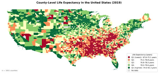
This manuscript examines the total toxic releases from electric utilities and mining facilities in the United States in 2020, focusing on their relationships with human health outcomes. The research highlights the adverse effects of air and water pollution, linking exposure to toxic emissions to several health issues, such as low birth weight, respiratory and cardiovascular diseases, and cancers. It underscores the disproportionate impact of these pollutants on low-income and minority populations. This research project utilizes two sets of data: (1) environmental data, the EPA’s Toxic Release Inventory (TRI) data that records total emissions of all-electric and mining facilities, and (2) health data, the PLACES health data. The results of this study show that census tracts exposed to higher toxic releases are expected to have worse health outcomes. The coefficients for total toxic release indicate that higher toxic release corresponds to a higher rate of cancer, chronic obstructive pulmonary disease (COPD), diabetes, kidney diseases, arthritis, cardiac heart disorders (CHD), and stroke. Except for diabetes and kidney diseases, the associations are statistically significant. The analysis indicates the need for comprehensive public health strategies to mitigate the risks posed by toxic releases, particularly for vulnerable communities.
Full article
(This article belongs to the Special Issue Air Pollution Exposure and Its Impact on Human Health)
►
Show Figures
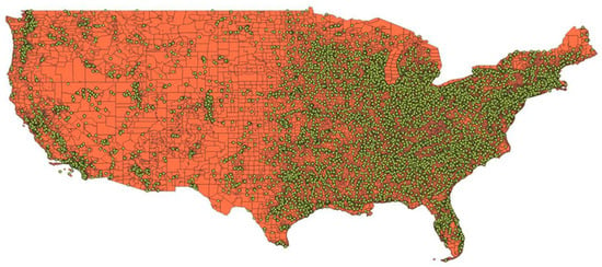
Figure 1


