

Data, Volume 10, Issue 8 (August 2025) – 16 articles
Cover Story (view full-size image):
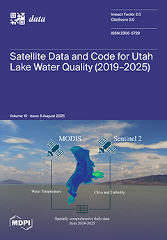
Utah Lake is large and spatially complex, making continuous monitoring difficult. We used six years of Sentinel-2 and MODIS imagery with field data and generated a dataset with over five million daily estimates of chlorophyll-a, turbidity, and temperature. To capture spatial variability while keeping the dataset tractable, rather than storing every pixel, we stochastically selected sampling points stratified across open-water, near-shore, and process-representative areas such as Provo and Goshen Bays. The resulting open dataset, paired with Jupyter Notebook code that can be adapted to other locations, transforms satellite imagery into accessible water quality information and offers a framework for applying similar methods to other lakes. View this paper
- Issues are regarded as officially published after their release is announced to the table of contents alert mailing list.
- You may sign up for e-mail alerts to receive table of contents of newly released issues.
- PDF is the official format for papers published in both, html and pdf forms. To view the papers in pdf format, click on the "PDF Full-text" link, and use the free Adobe Reader to open them.
Previous Issue
Next Issue