

ISPRS Int. J. Geo-Inf., Volume 13, Issue 10 (October 2024) – 32 articles
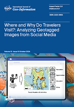
Cover Story (view full-size image):
Accurate information regarding the size, activity, and distribution of coastal tourists is essential for the effective management and planning of coastal tourism. In this study, geotagged photos uploaded to social network services were classified to identify coastal tourism activities. The image-supervised classification model was used to identify coastal tourism activities taking place in coastal spaces. Appreciation activities are mainly located in the natural environment and tend to be spatially spread out, while other activities are mainly located in urban areas with a high population density and are spatially concentrated. Data on tourist activity categorization through content classification, combined with traditional tourist volume estimates, can help us understand previously overlooked information and contexts about a space. View this paper
- Issues are regarded as officially published after their release is announced to the table of contents alert mailing list.
- You may sign up for e-mail alerts to receive table of contents of newly released issues.
- PDF is the official format for papers published in both, html and pdf forms. To view the papers in pdf format, click on the "PDF Full-text" link, and use the free Adobe Reader to open them.
Previous Issue
Next Issue