



Remote Sens., Volume 8, Issue 8 (August 2016) – 77 articles
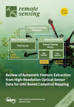
Cover Story (view full-size image):
Unmanned Aerial Vehicles (UAVs) have emerged as a rapid, low-cost and flexible acquisition system that appears feasible for application in cadastral mapping: high-resolution imagery, acquired using UAVs, enables a new approach for defining property boundaries. A workflow that automatically extracts boundary features from UAV data could increase the pace of current mapping procedures, in which cadastral boundaries are often visually detected and manually digitized. This review introduces a workflow considered applicable for automated boundary delineation from UAV data. This is done by reviewing approaches for feature extraction from various application fields and synthesizing these into a hypothetical generalized cadastral workflow. The review lists example methods per workflow step, including a description, trialed implementation, and a list of case studies applying individual methods. View the paper
- Issues are regarded as officially published after their release is announced to the table of contents alert mailing list.
- You may sign up for e-mail alerts to receive table of contents of newly released issues.
- PDF is the official format for papers published in both, html and pdf forms. To view the papers in pdf format, click on the "PDF Full-text" link, and use the free Adobe Reader to open them.
Previous Issue
Next Issue