

Remote Sens., Volume 8, Issue 4 (April 2016) – 89 articles
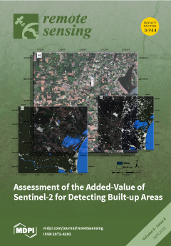
Cover Story (view full-size image):
The Global Human Settlement Layer (GHSL) is a project funded by the European Commission, Joint Research Centre, which aims at providing scientific methods and systems for reliable and automatic mapping of built-up areas from remote sensing data. In the frame of the GHSL, the opportunities offered by Sentinel-2 data are explored using a novel image classification method, called Symbolic Machine Learning (SML). The results show the added-value of Sentinel-2 with respect to Landsat for improving global high-resolution human settlement mapping. They also demonstrate that with the global coverage of Sentinel-2 data, new opportunities exist to confront the global human settlement challenges thanks to the possibility of mapping built-up areas, their heterogeneities, dynamics and interactions with the environment. View this paper
- Issues are regarded as officially published after their release is announced to the table of contents alert mailing list.
- You may sign up for e-mail alerts to receive table of contents of newly released issues.
- PDF is the official format for papers published in both, html and pdf forms. To view the papers in pdf format, click on the "PDF Full-text" link, and use the free Adobe Reader to open them.
Previous Issue
Next Issue