Article

Post-Flood Analysis for Damage and Restoration Assessment Using Drone Imagery

1
Mechanical Engineering, Virginia Tech, Blacksburg, VA 24061, USA
2
Computer Engineering, Virginia Tech, Blacksburg, VA 24061, USA
3
Development Monitors, LLC, Arlington, VA 22202, USA
*
Author to whom correspondence should be addressed.
Remote Sens. 2022, 14(19), 4952; https://doi.org/10.3390/rs14194952
Submission received: 27 June 2022 / Revised: 19 September 2022 / Accepted: 28 September 2022 / Published: 4 October 2022

Abstract

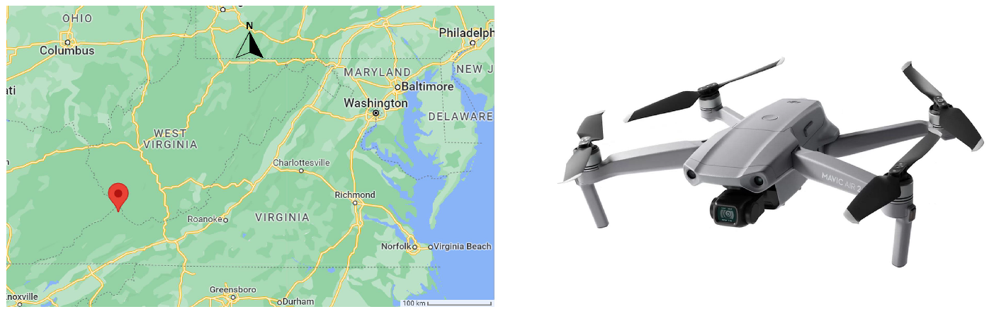
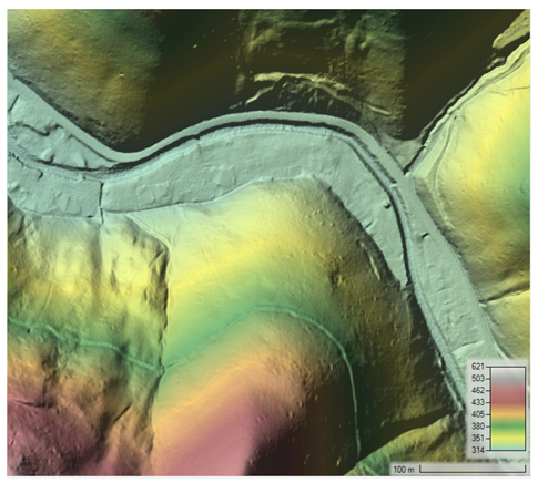
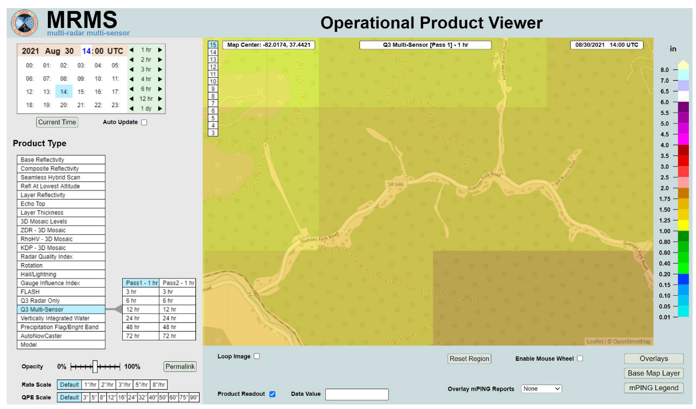
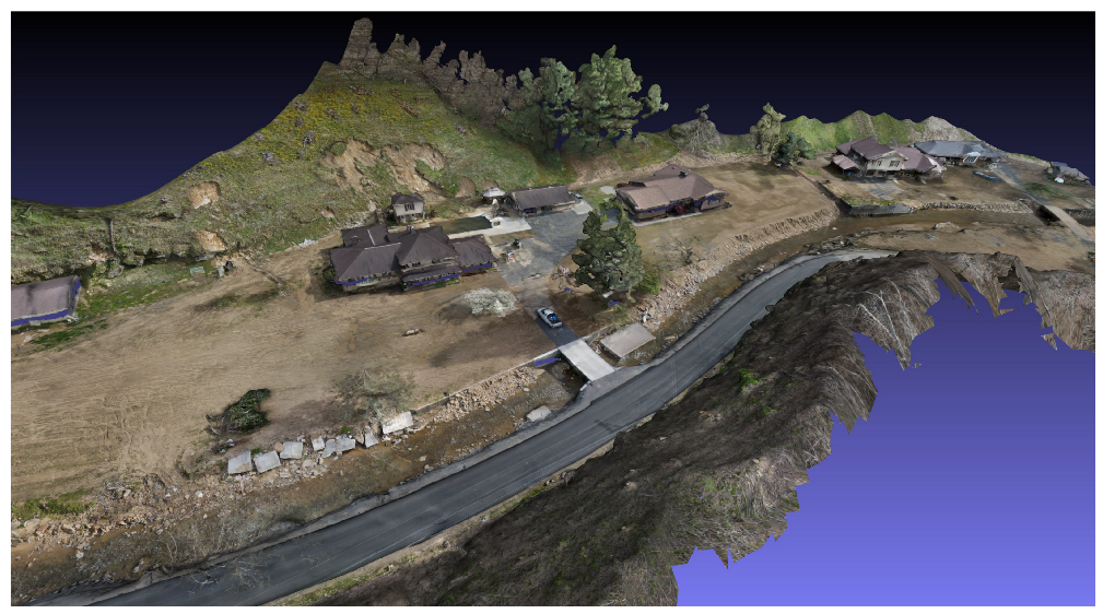
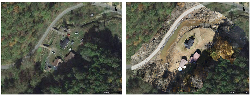
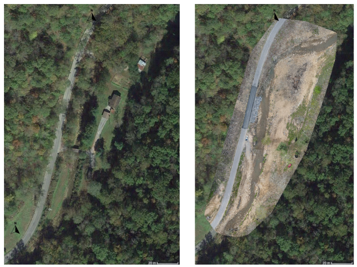
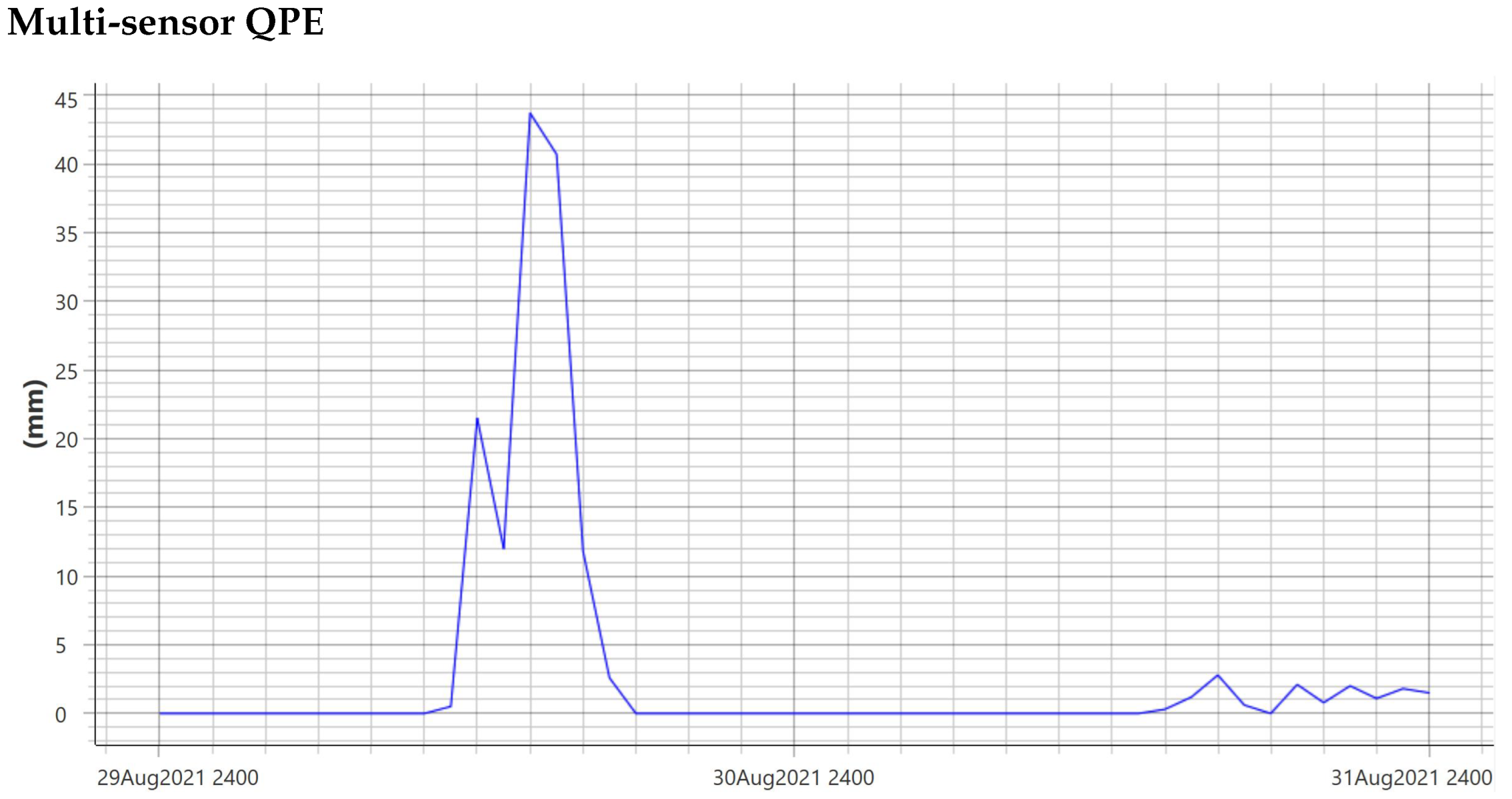
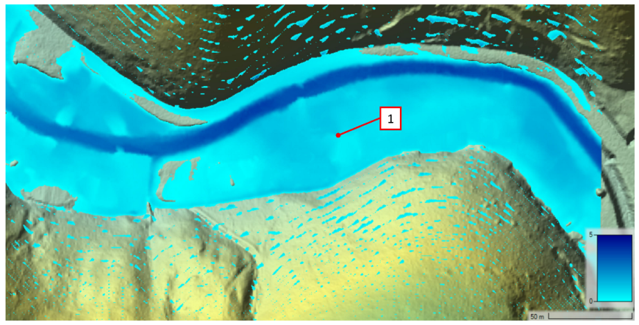
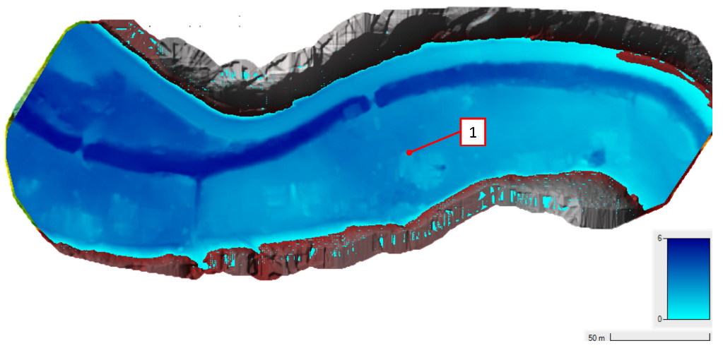
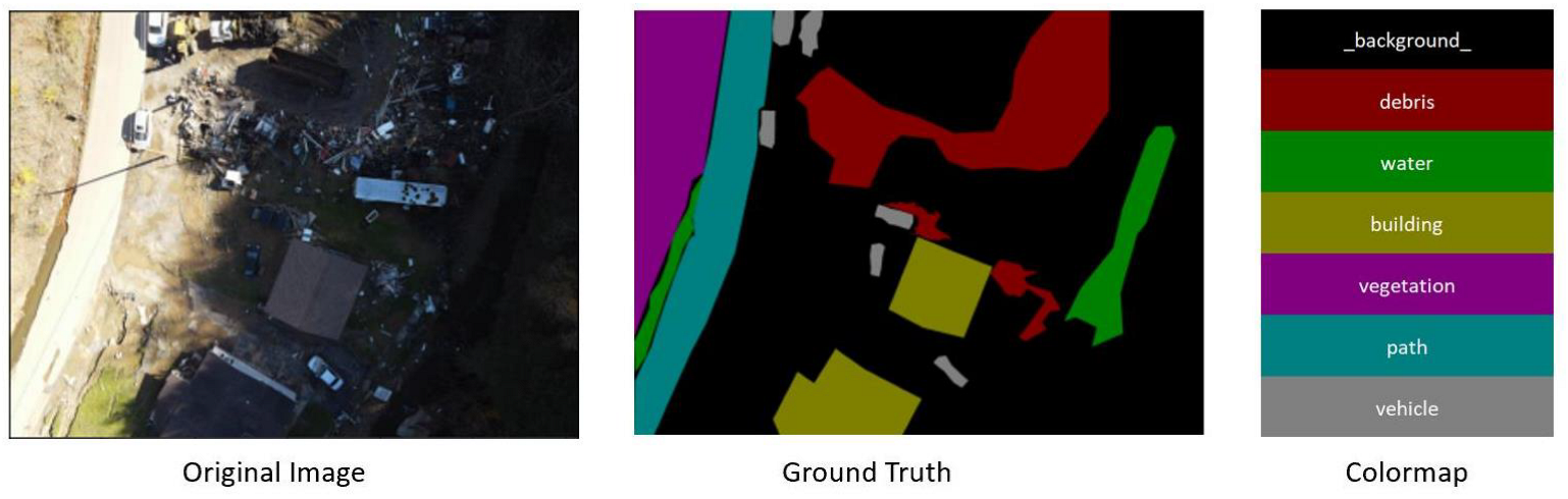
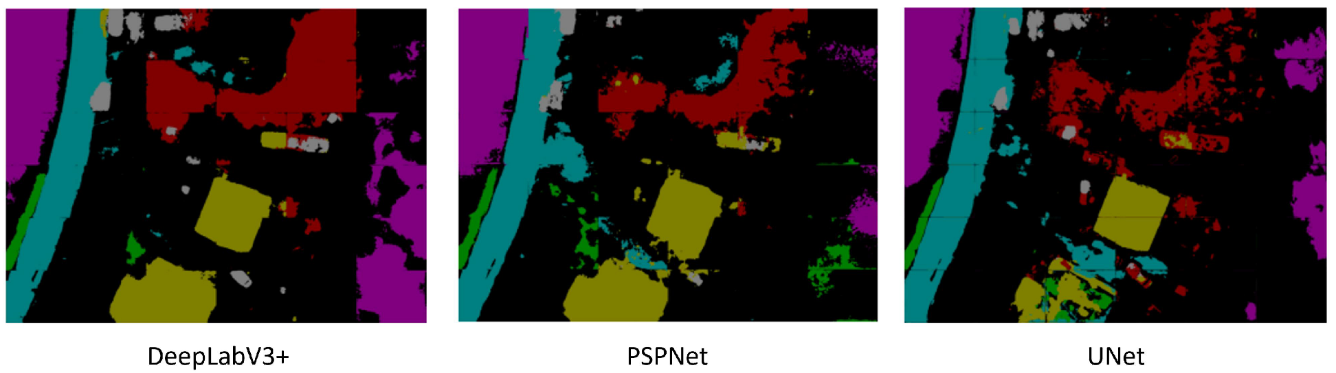
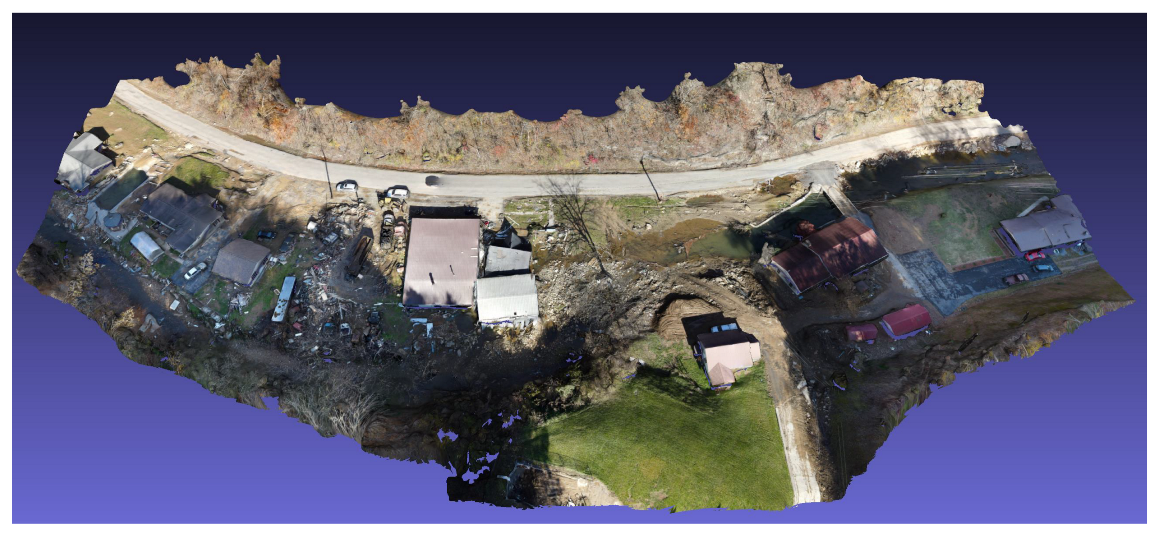
With natural disasters continuing to become more prevalent in recent years, the need for effective disaster management efforts becomes even more critical. Specifically, flooding is an extremely common natural disaster which can cause significant damage to homes and other property. In this article, we look at an area in Hurley, Virginia which suffered a significant flood event in August 2021. A drone is used to capture aerial imagery of the area and reconstructed to produce 3-dimensional models, Digital Elevation Models, and stitched orthophotos for flood modeling and damage assessment. Pre-flood Digital Elevation Models and available weather data are used to perform simulations of the flood event using HEC-RAS software. These were validated with measured water height values and found to be very accurate. After this validation, simulations are performed using the Digital Elevation Models collected after the flood and we found that a similar rainfall event on the new terrain would cause even worse flooding, with water depths between 29% and 105% higher. These simulations could be used to guide recovery efforts as well as aid response efforts for any future events. Finally, we look at performing semantic segmentation on the collected aerial imagery to assess damage to property from the flood event. While our segmentation of debris needs more work, it has potential to help determine the extent of damage and aid disaster response. Based on our investigation, the combination of techniques presented in this article has significant potential to aid in preparation, response, and recovery efforts for natural disasters.
Keywords: drones; emergency response; flood modeling; semantic segmentation; damage analysis drones; emergency response; flood modeling; semantic segmentation; damage analysis