Article

3D Reconstruction and Geostatic Analysis of an Early Medieval Cemetery (Olonne-sur-Mer, France)
by
Rozenn Colleter
1,2,* and
Jean-Baptiste Barreau
3
1
French National Institute for Preventive Archaeological Research (INRAP), 37 rue du Bignon, 35577 Cesson-Sévigné, France
2
Centre for Anthropobiology and Genomics of Toulouse (CAGT), Forensic Sciences and the Study of Image Libraries (Team FOSSIL), CNRS, UMR 5288, Faculté de Médecine Purpan, University of Toulouse, Bat A37 Allées Jules Guesde, 31000 Toulouse, France
3
CReAAH, CNRS, University of Rennes, UMR 6566, Campus de Beaulieu Bât24 RDC P009, Avenue du Général Leclerc, 35000 Rennes, France
*
Author to whom correspondence should be addressed.
Remote Sens. 2021, 13(9), 1688; https://doi.org/10.3390/rs13091688
Submission received: 8 March 2021 / Revised: 22 April 2021 / Accepted: 23 April 2021 / Published: 27 April 2021
(This article belongs to the Special Issue 3D Virtual Reconstruction for Cultural Heritage)

Abstract

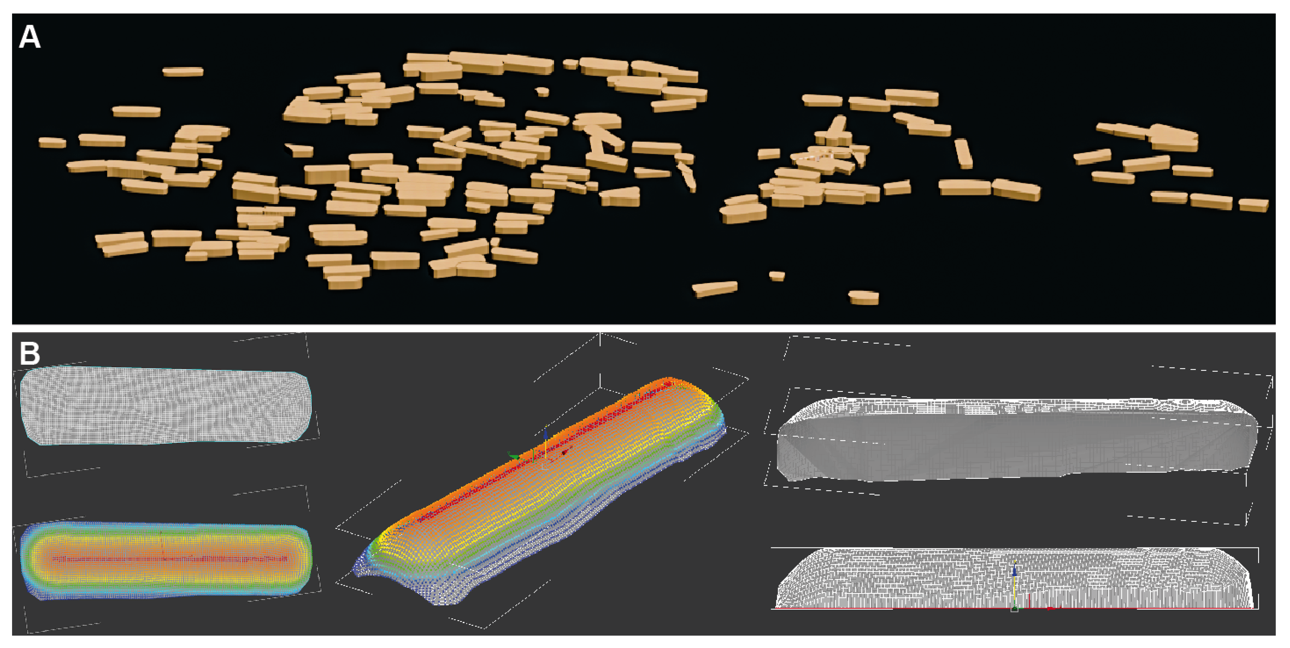
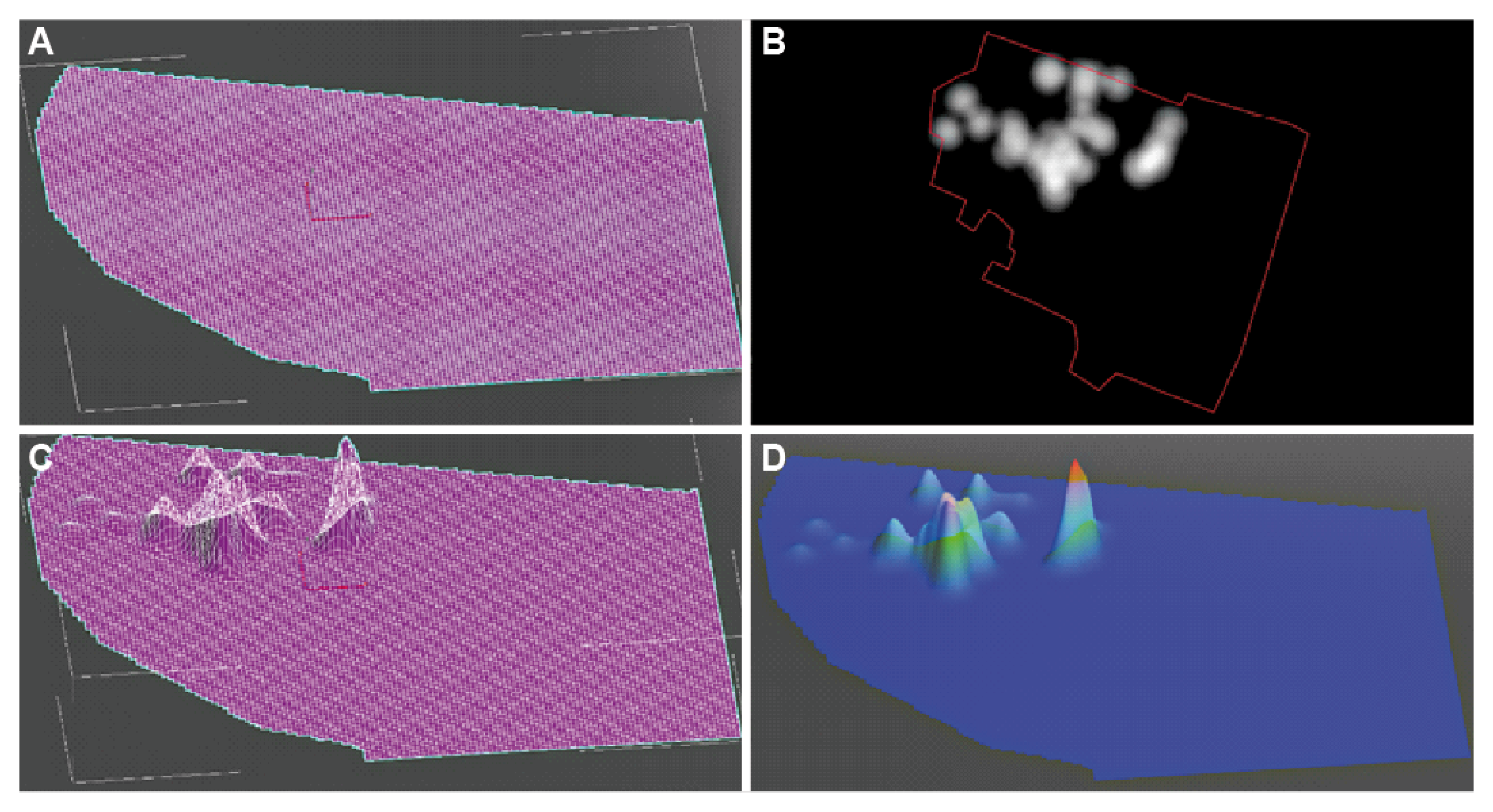
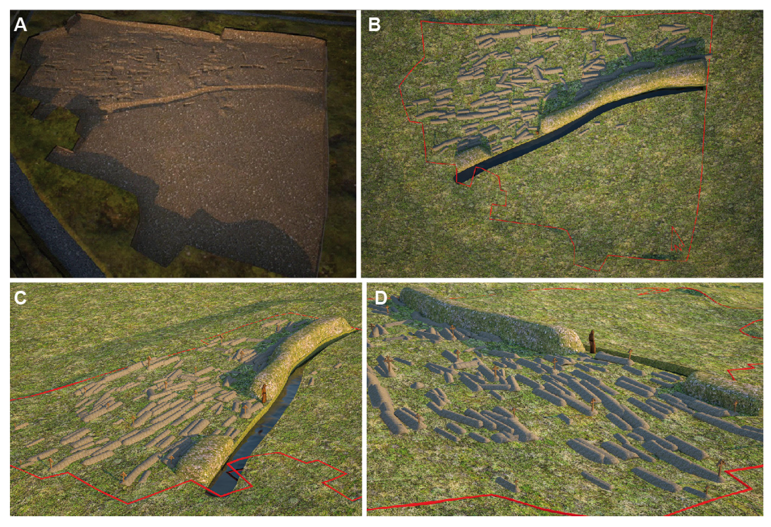
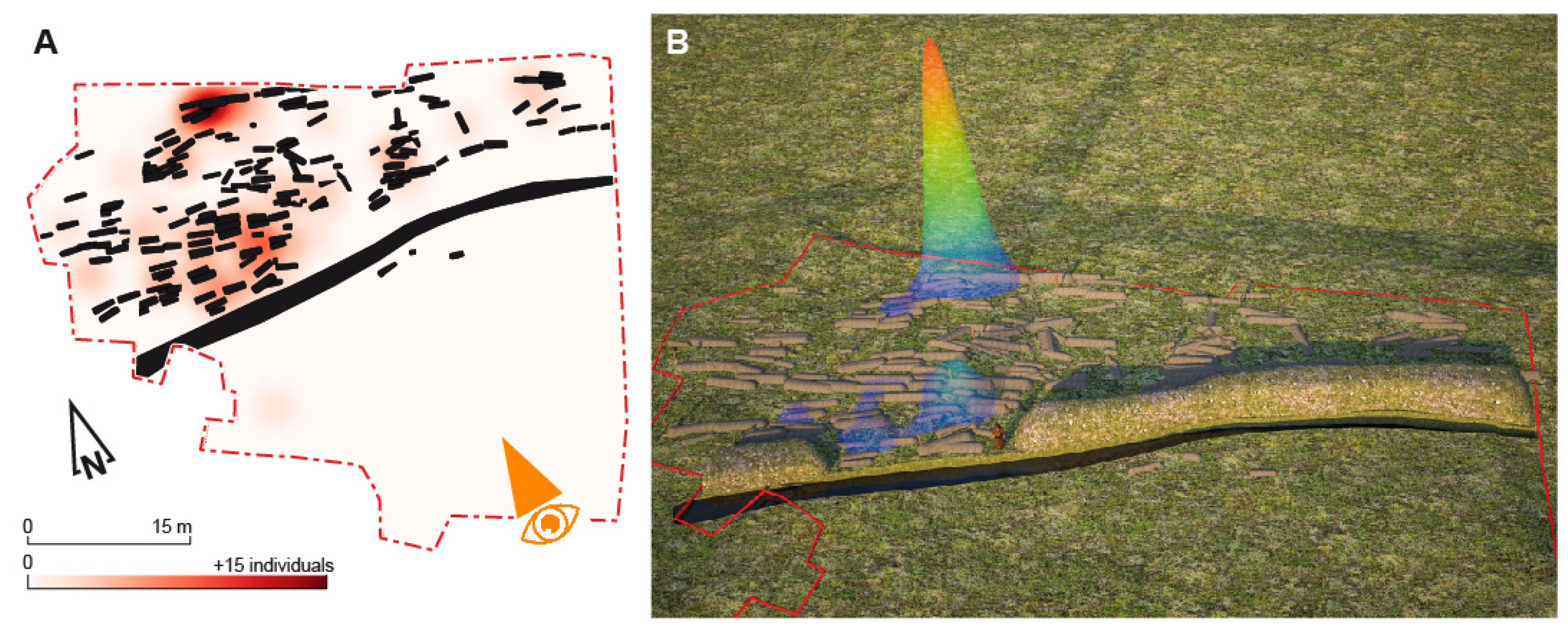
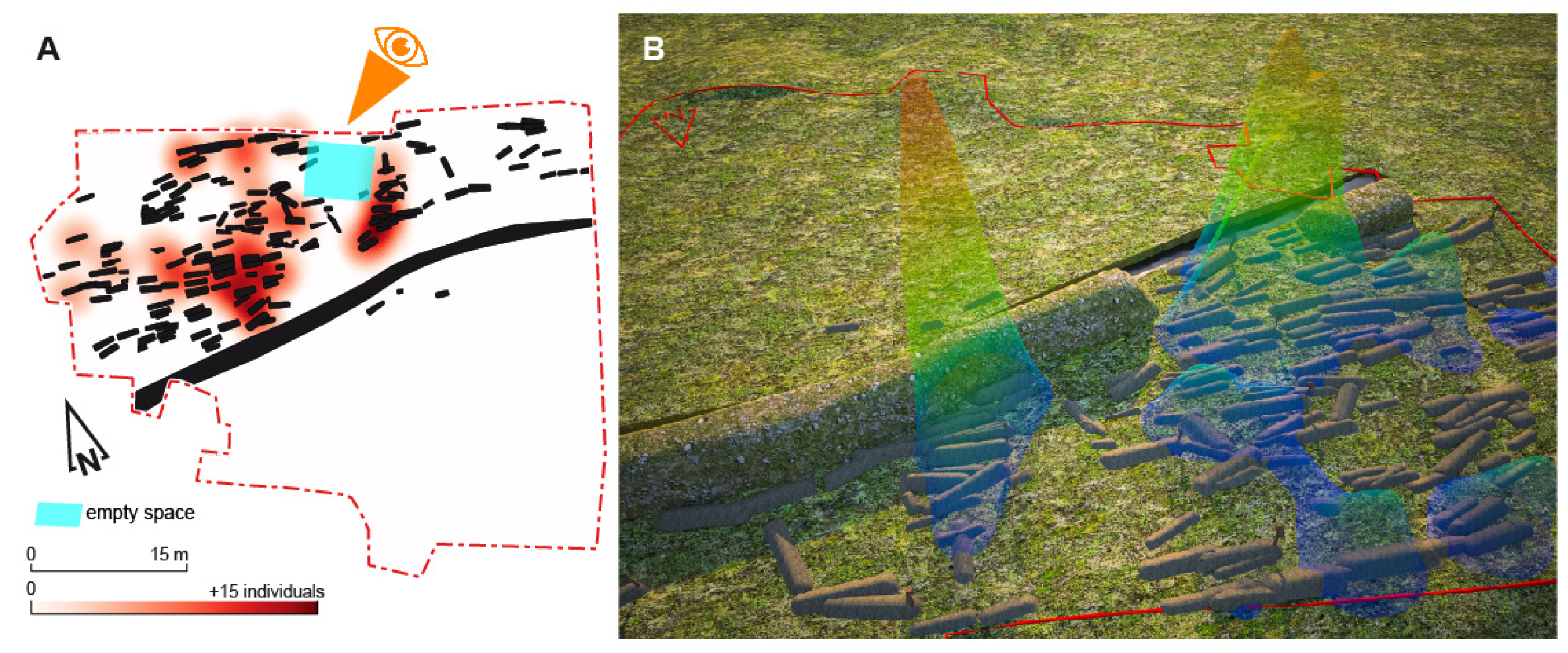
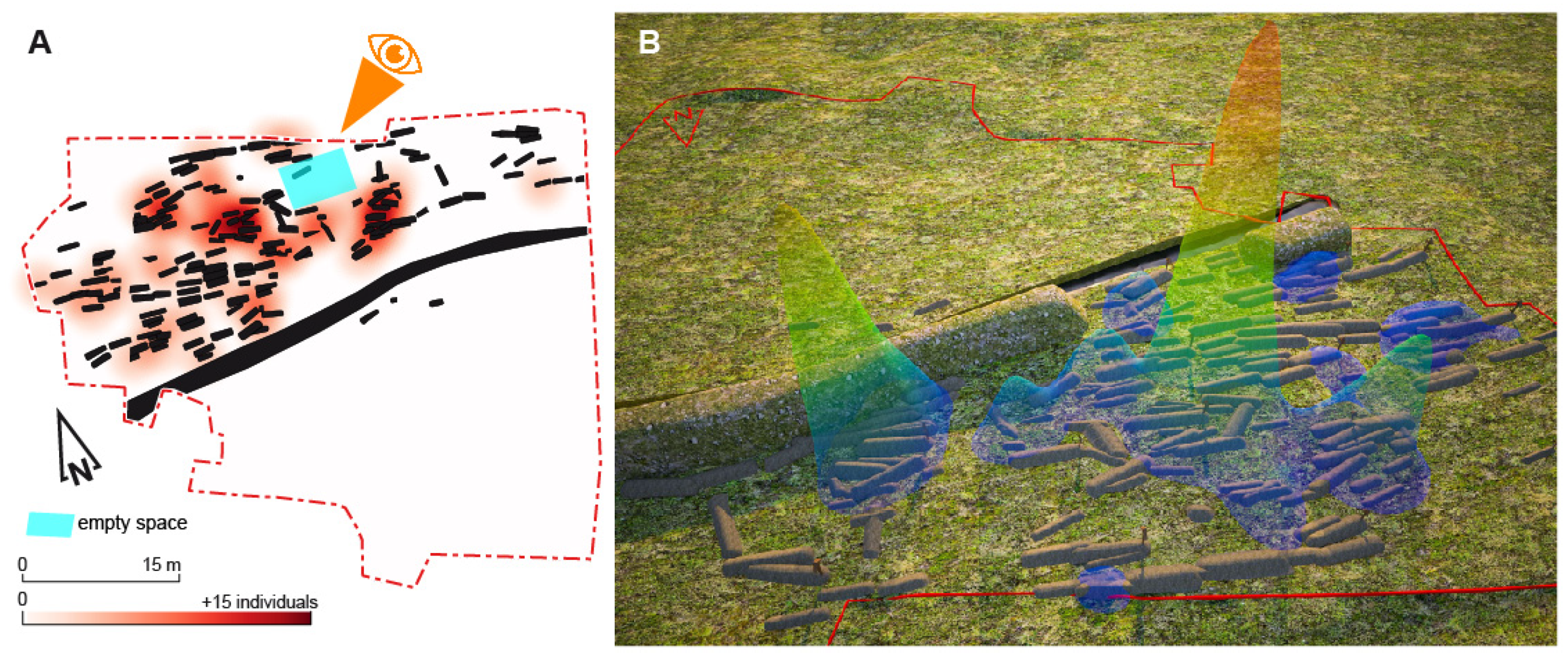
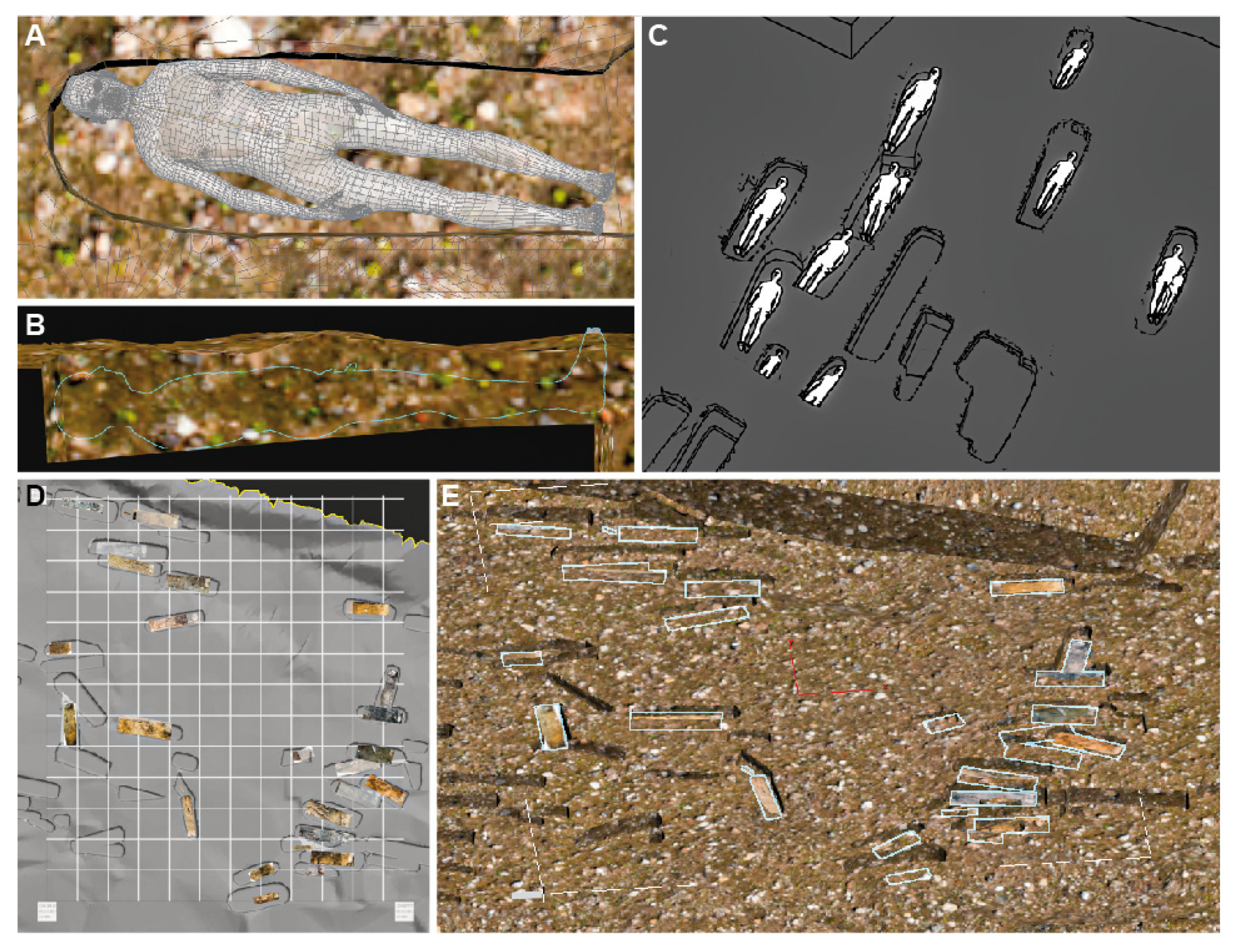
A preventive excavation performed in 2018 prior to development work led to the discovery of more than 213 subjects buried from the 4th to the 11th centuries in the 1850 m2 dug area. This is a cemetery located in Olonne-sur-Mer in France (46.53723, −1.77603). The complex is limited to the south by a ditch. To the north, no limits were observed during the excavation and, to the west, ancient archaeological surveys suggest an extension of the burial area. Biological analysis of the skeletons reveals a demographic characterizing a natural community, with an under-representation of children under 5 and with subjects under 20 appearing to be grouped together in the center of the area. The place where the youngest are buried often testifies to a strategic position in Christian contexts (near church doors, under sub stillicidio gutters, etc.). Funeral practices are characterized by numerous skeletal alterations, especially in the western area of the site where their concentrations are particularly significant. These are not ossuaries but rather supernumerary bones present in the fills of graves of subjects in place or old tombs where no skeletons in place are preserved. These alterations mark the areas where burials are most frequent. The 3D reconstruction is coupled with geostatistical analyses (heatmap and Moran’s index), considering the digging of the land, the concentration of residual artefacts found in the graves, but also the biological characteristics of the sample and the funeral practices uncovered. From 2D entities generated with GIS software, the process of the elevation and sculpture of the volumes is innovative, because even if it is carried out by precise but classical computer graphics techniques, it is led by advanced taphonomical and anthropological reflections. This makes it possible to propose empty spaces, a potential gathering area for the village community and circulation paths. These elements are essential in order to go beyond the storytelling often proposed in archaeology and propose a vision based on the coherence of the observed facts. Even when the archaeological remains are only sunken (no preserved elevation), the integration of multisource archaeological data (biological anthropology, funerary, artefacts and pit size) allows relevant 3D reconstructions as a formidable tool for discussing past occupations. Three-dimensional technologies make it possible to recreate a lost environment to allow a better understanding of the site. They are didactic and help to share data between researchers and/or the public, especially when they are invisible such as the presence of empty space.
Keywords: archaeology; anthropobiology; cemetery; grave; 3D reconstructions; GIS; DTM; early medieval archaeology; anthropobiology; cemetery; grave; 3D reconstructions; GIS; DTM; early medieval