Article

Time-Series Model-Adjusted Percentile Features: Improved Percentile Features for Land-Cover Classification Based on Landsat Data


1
Key Laboratory of Digital Earth Science, Aerospace Information Research Institute, Chinese Academy of Sciences, Beijing 100094, China
2
College of Resources and Environment, University of Chinese Academy of Sciences, Beijing 100049, China
*
Author to whom correspondence should be addressed.
Remote Sens. 2020, 12(18), 3091; https://doi.org/10.3390/rs12183091
Submission received: 21 August 2020 / Revised: 13 September 2020 / Accepted: 18 September 2020 / Published: 21 September 2020
(This article belongs to the Special Issue Multitemporal Land Cover and Land Use Mapping)

Abstract

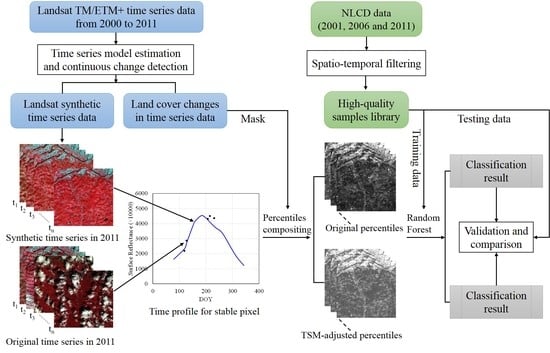
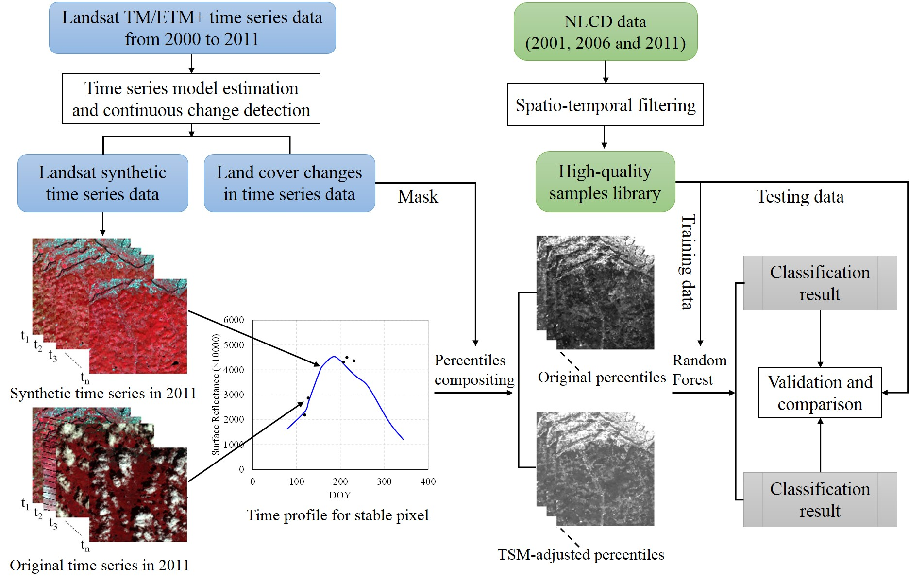
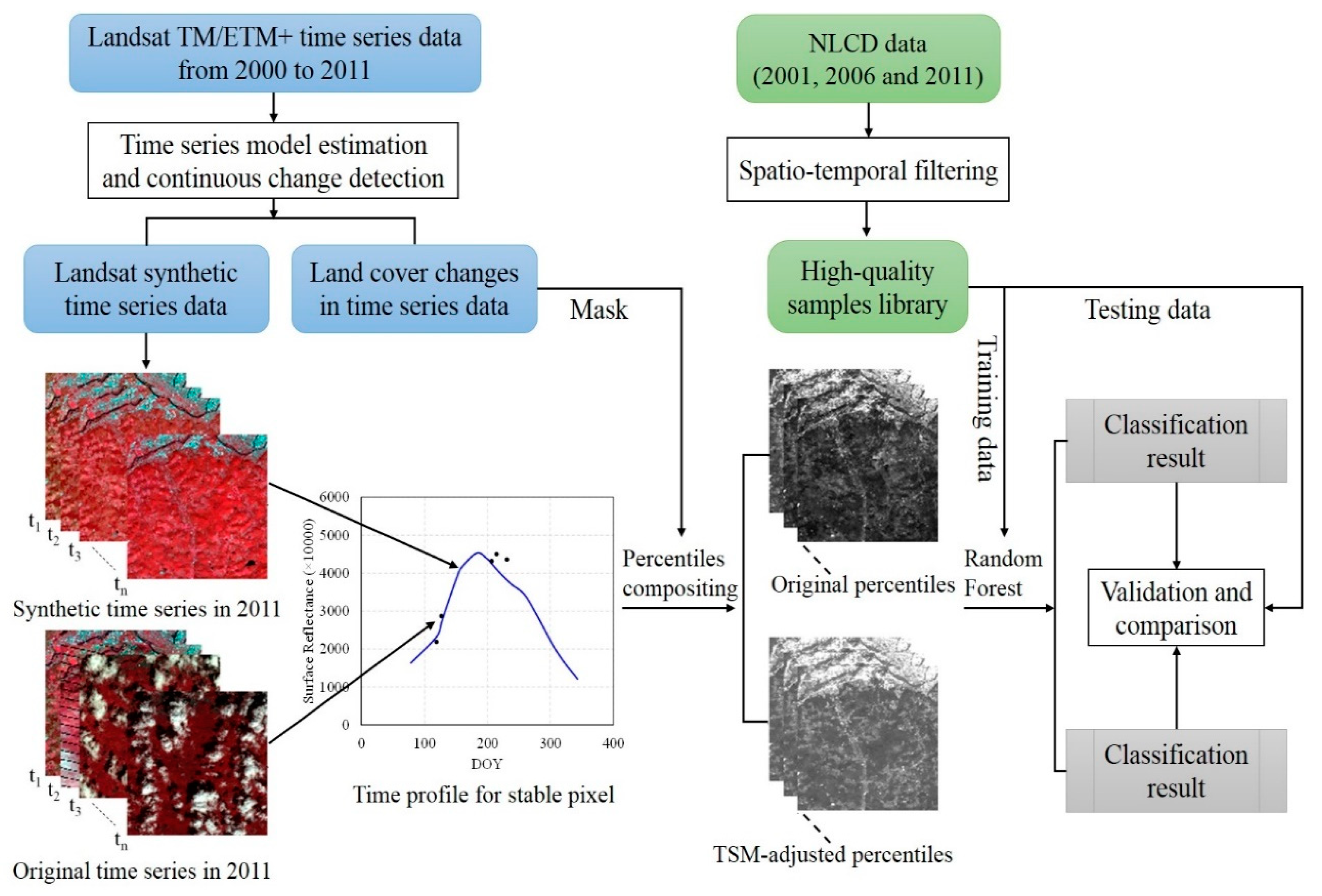
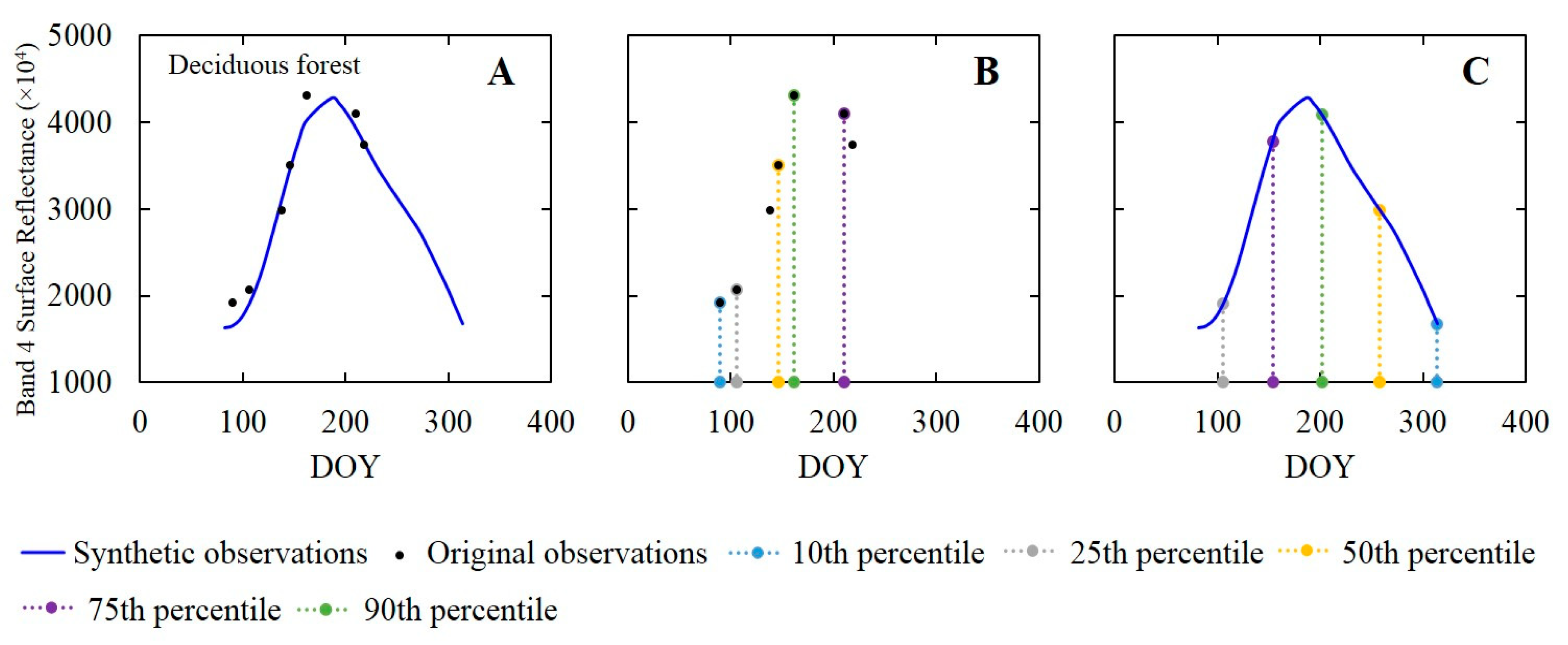
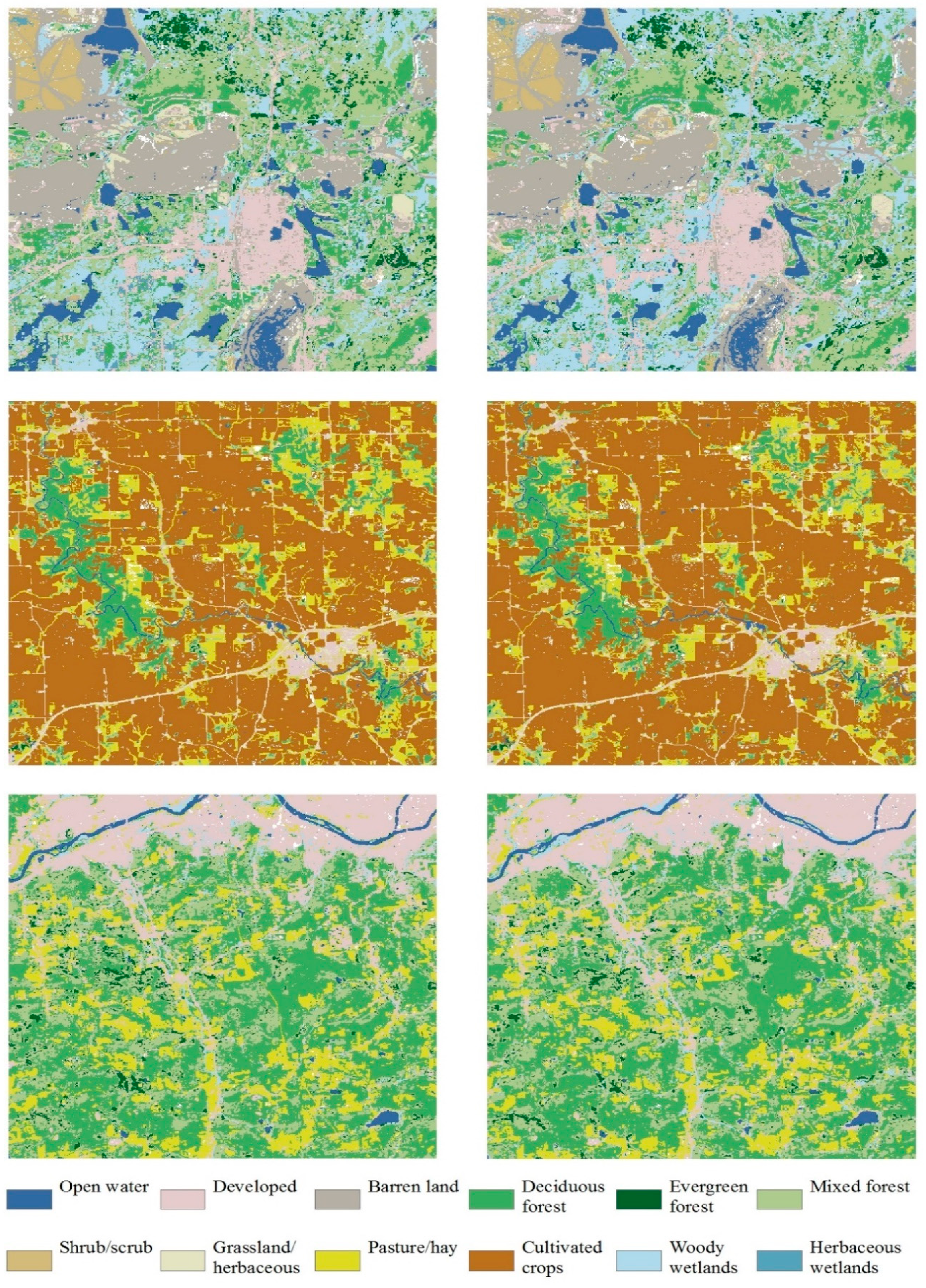
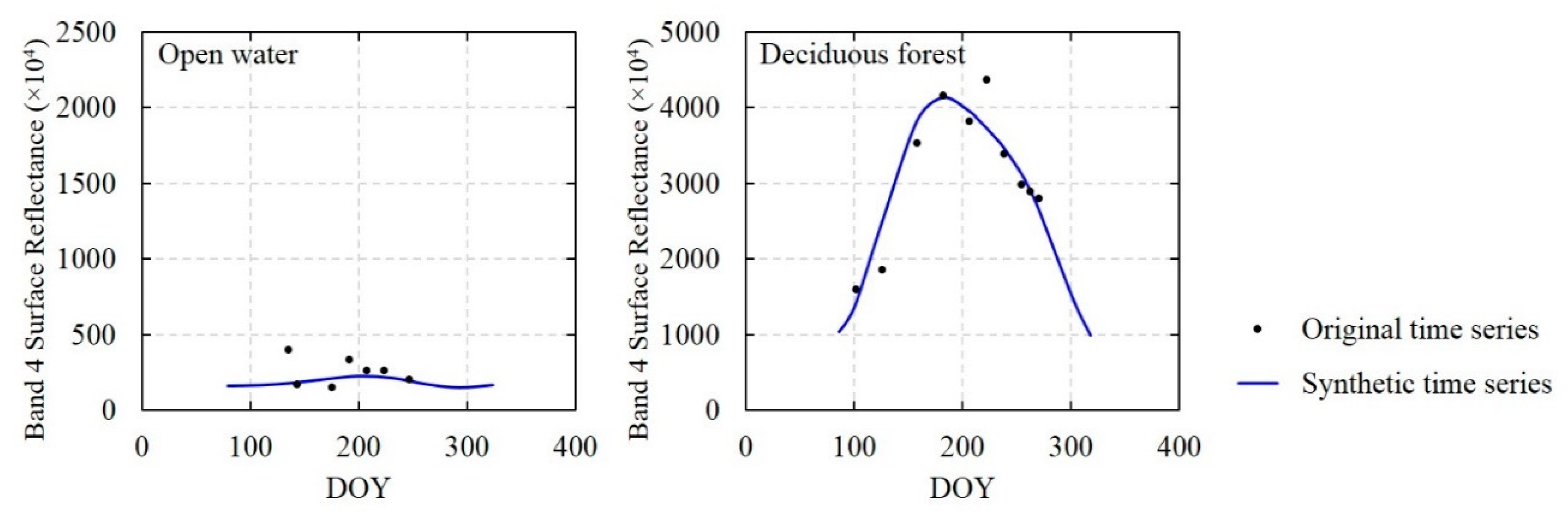
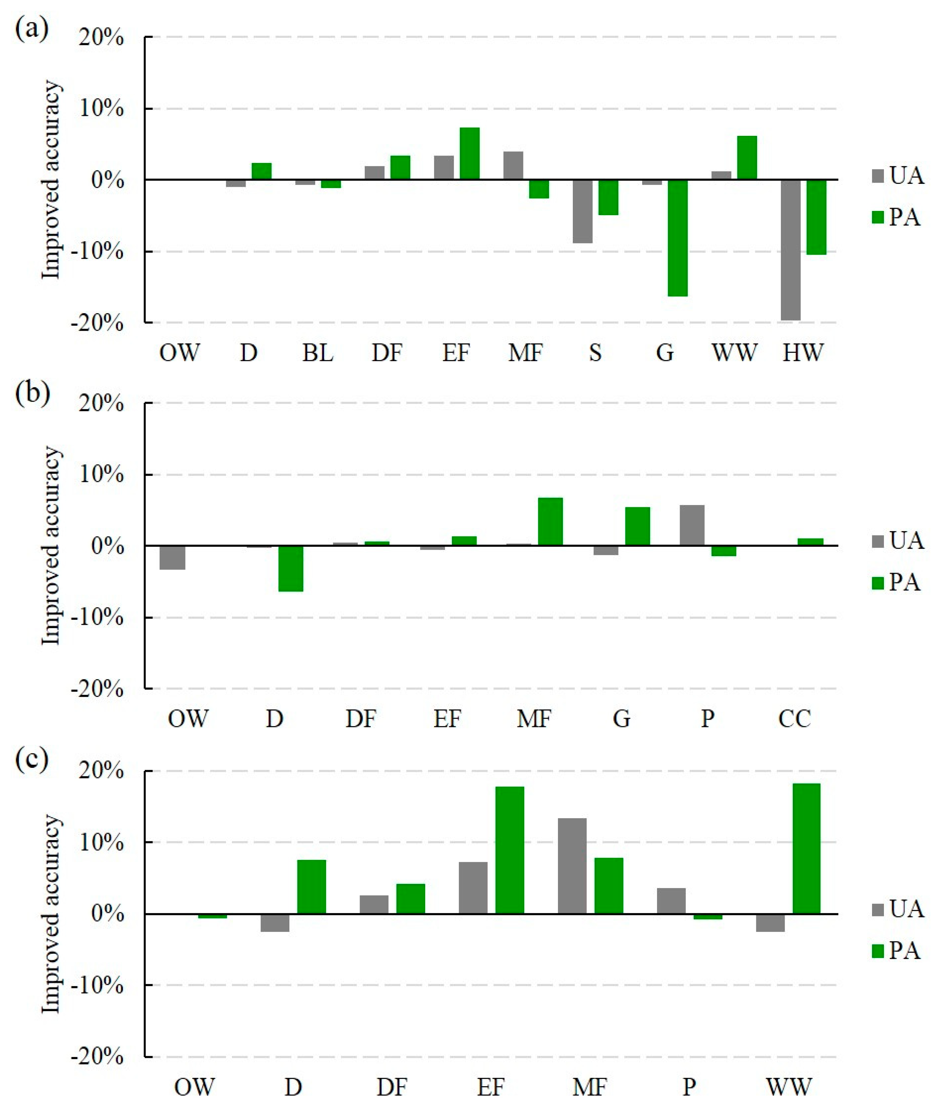
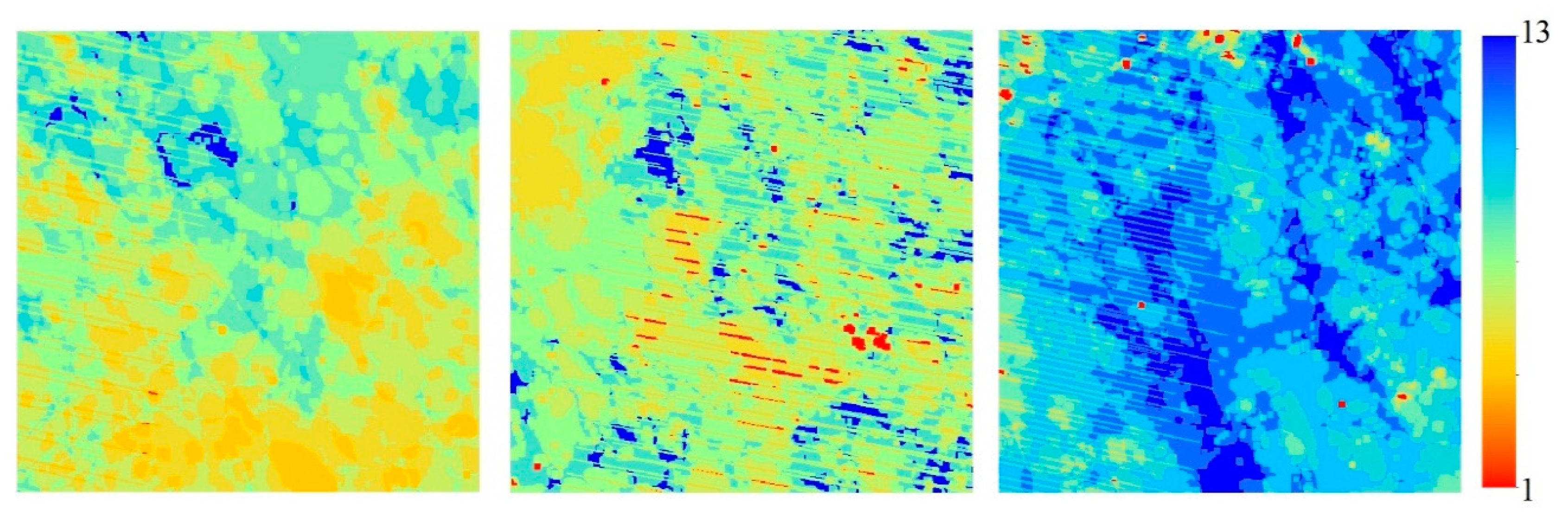
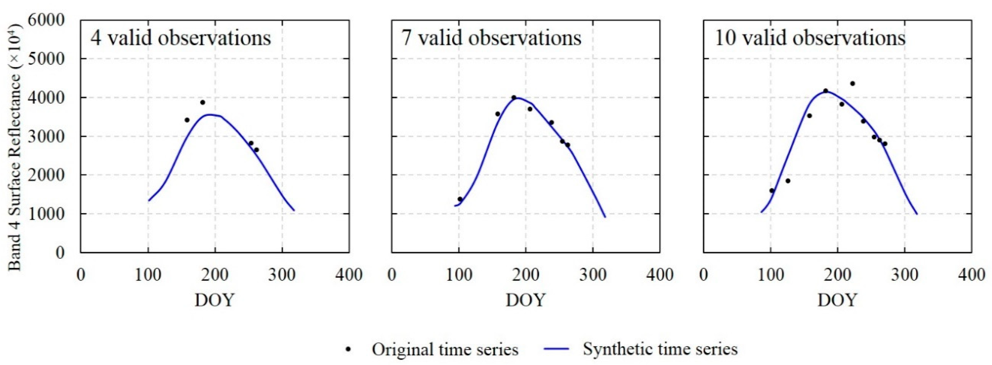
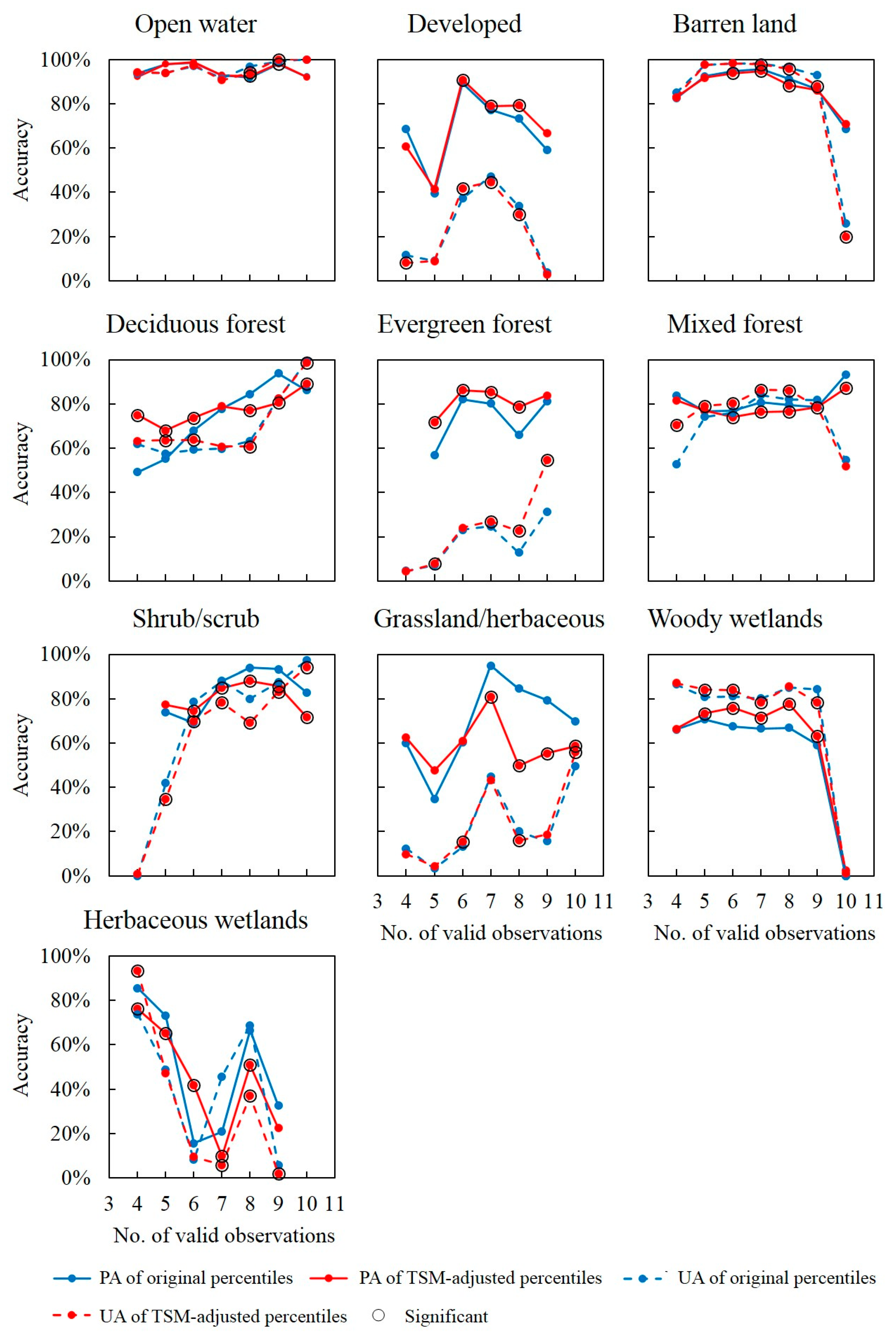
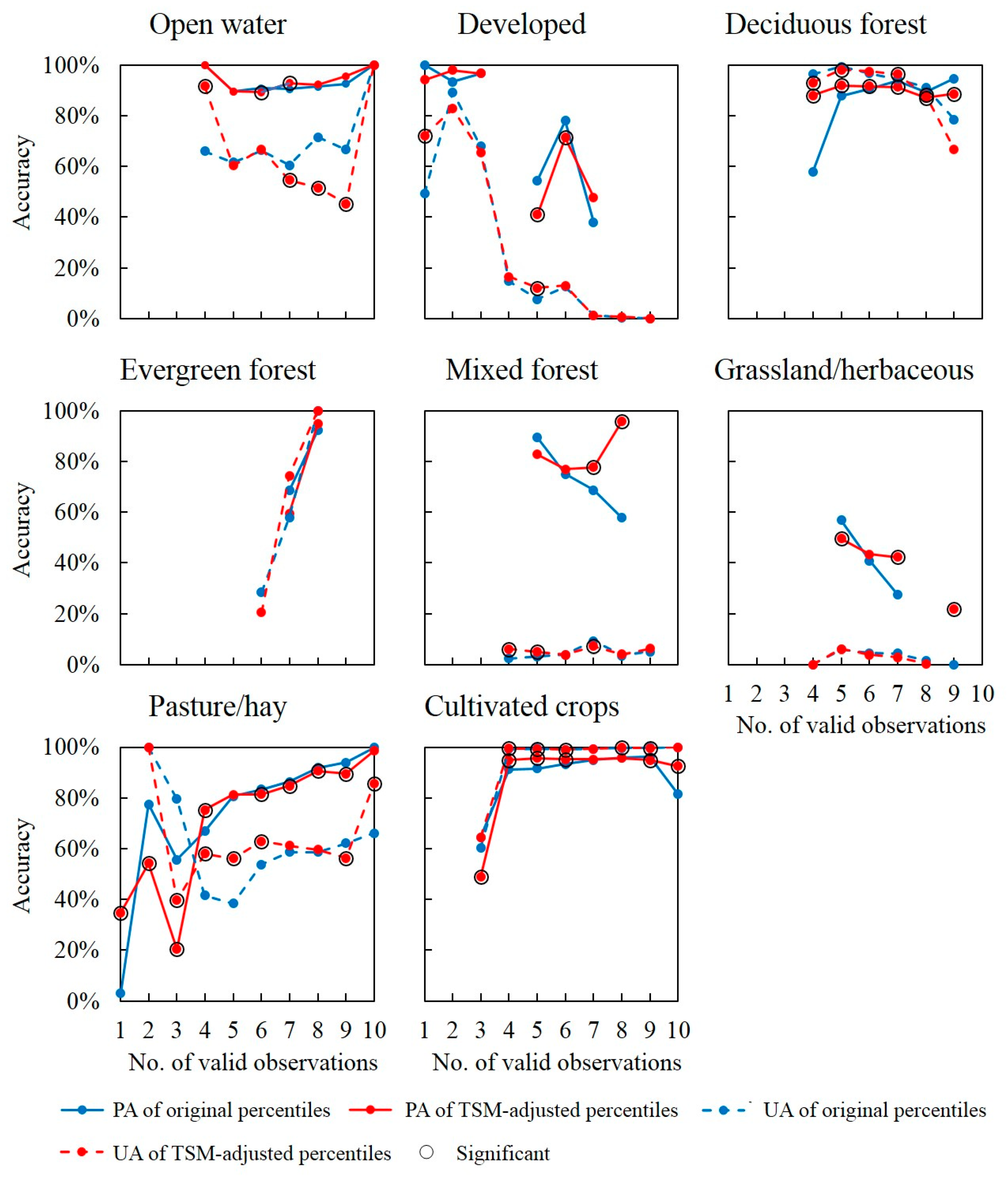
Percentile features derived from Landsat time-series data are widely adopted in land-cover classification. However, the temporal distribution of Landsat valid observations is highly uneven across different pixels due to the gaps resulting from clouds, cloud shadows, snow, and the scan line corrector (SLC)-off problem. In addition, when applying percentile features, land-cover change in time-series data is usually not considered. In this paper, an improved percentile called the time-series model (TSM)-adjusted percentile is proposed for land-cover classification based on Landsat data. The Landsat data were first modeled using three different time-series models, and the land-cover changes were continuously monitored using the continuous change detection (CCD) algorithm. The TSM-adjusted percentiles for stable pixels were then derived from the synthetic time-series data without gaps. Finally, the TSM-adjusted percentiles were used for generating supervised random forest classifications. The proposed methods were implemented on Landsat time-series data of three study areas. The classification results were compared with those obtained using the original percentiles derived from the original time-series data with gaps. The results show that the land-cover classifications obtained using the proposed TSM-adjusted percentiles have significantly higher overall accuracies than those obtained using the original percentiles. The proposed method was more effective for forest types with obvious phenological characteristics and with fewer valid observations. In addition, it was also robust to the training data sampling strategy. Overall, the methods proposed in this work can provide accurate characterization of land cover and improve the overall classification accuracy based on such metrics. The findings are promising for percentile-based land cover classification using Landsat time series data, especially in the areas with frequent cloud coverage.
Keywords: percentile feature; time-series model; land-cover classification; Landsat; continuous change detection percentile feature; time-series model; land-cover classification; Landsat; continuous change detection
Graphical Abstract