Article

Extraction of Offshore Aquaculture Areas from Medium-Resolution Remote Sensing Images Based on Deep Learning
1
Key Laboratory of Spatial Data Mining & Information Sharing of Ministry of Education, National Engineering Research Centre of Geospatial Information Technology, Academy of Digital China (Fujian), Fuzhou University, Fuzhou 350116, China
2
School of Geography and Information Engineering, China University of Geosciences, Wuhan 430074, China
*
Author to whom correspondence should be addressed.
Remote Sens. 2021, 13(19), 3854; https://doi.org/10.3390/rs13193854
Submission received: 16 August 2021 / Revised: 22 September 2021 / Accepted: 23 September 2021 / Published: 26 September 2021

Abstract

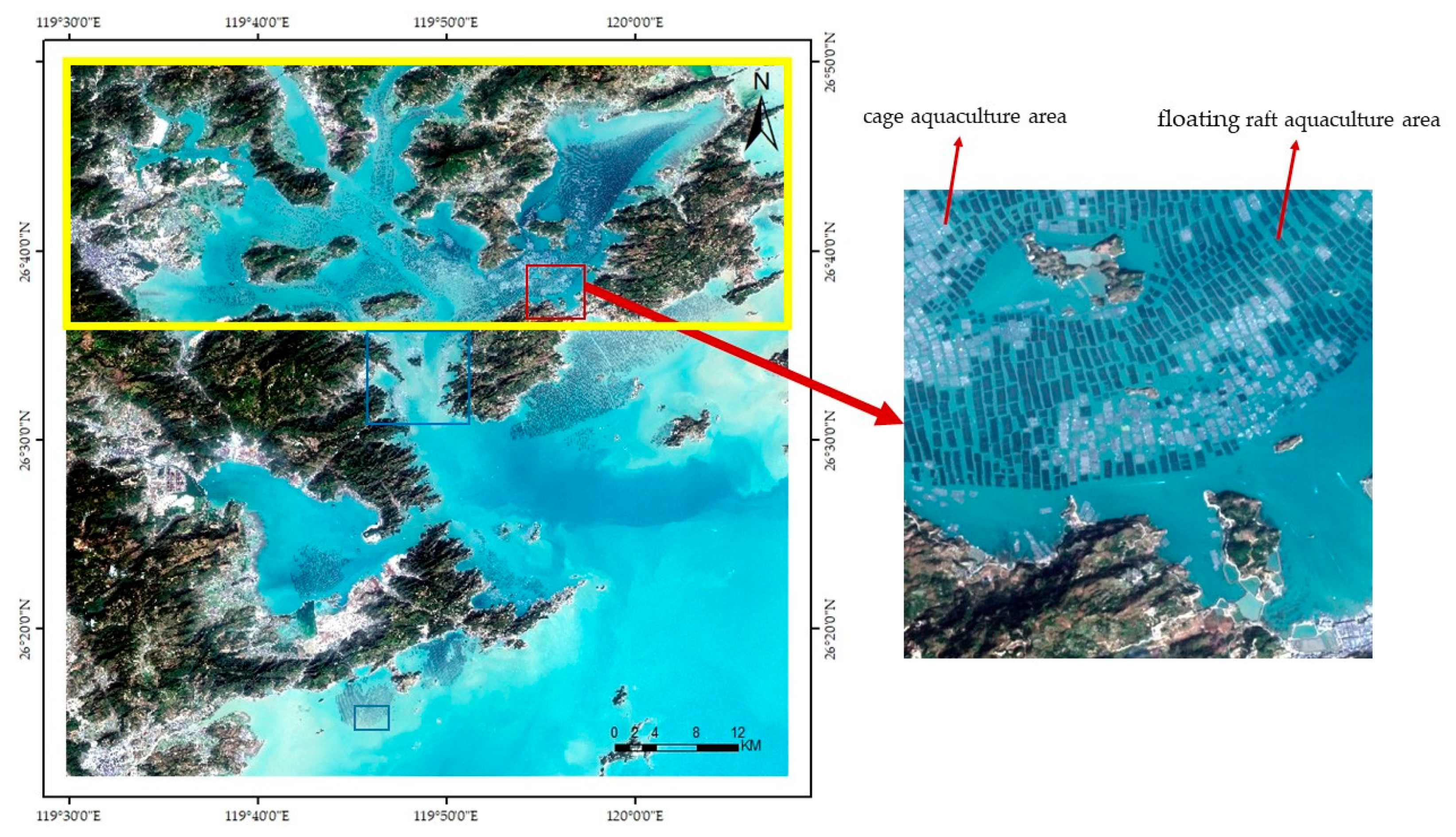
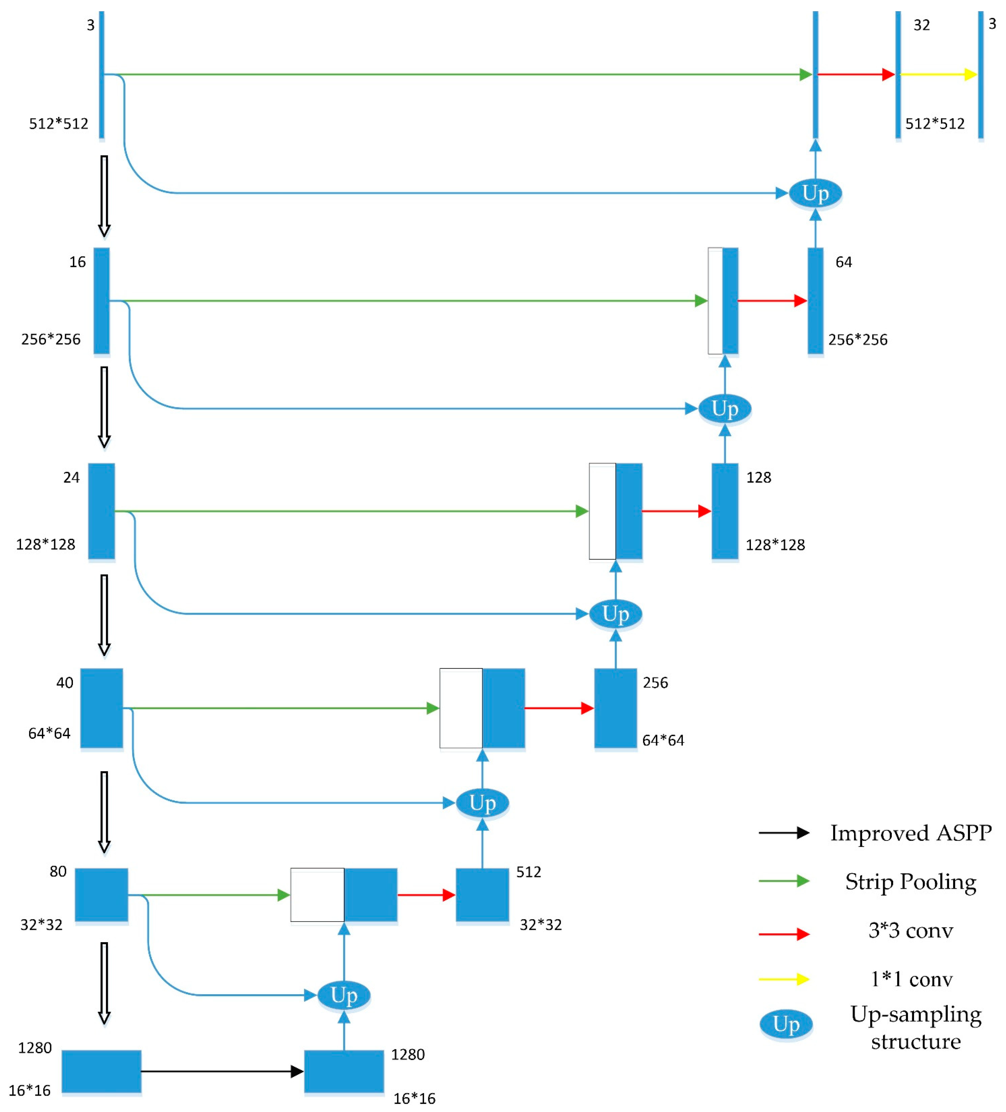
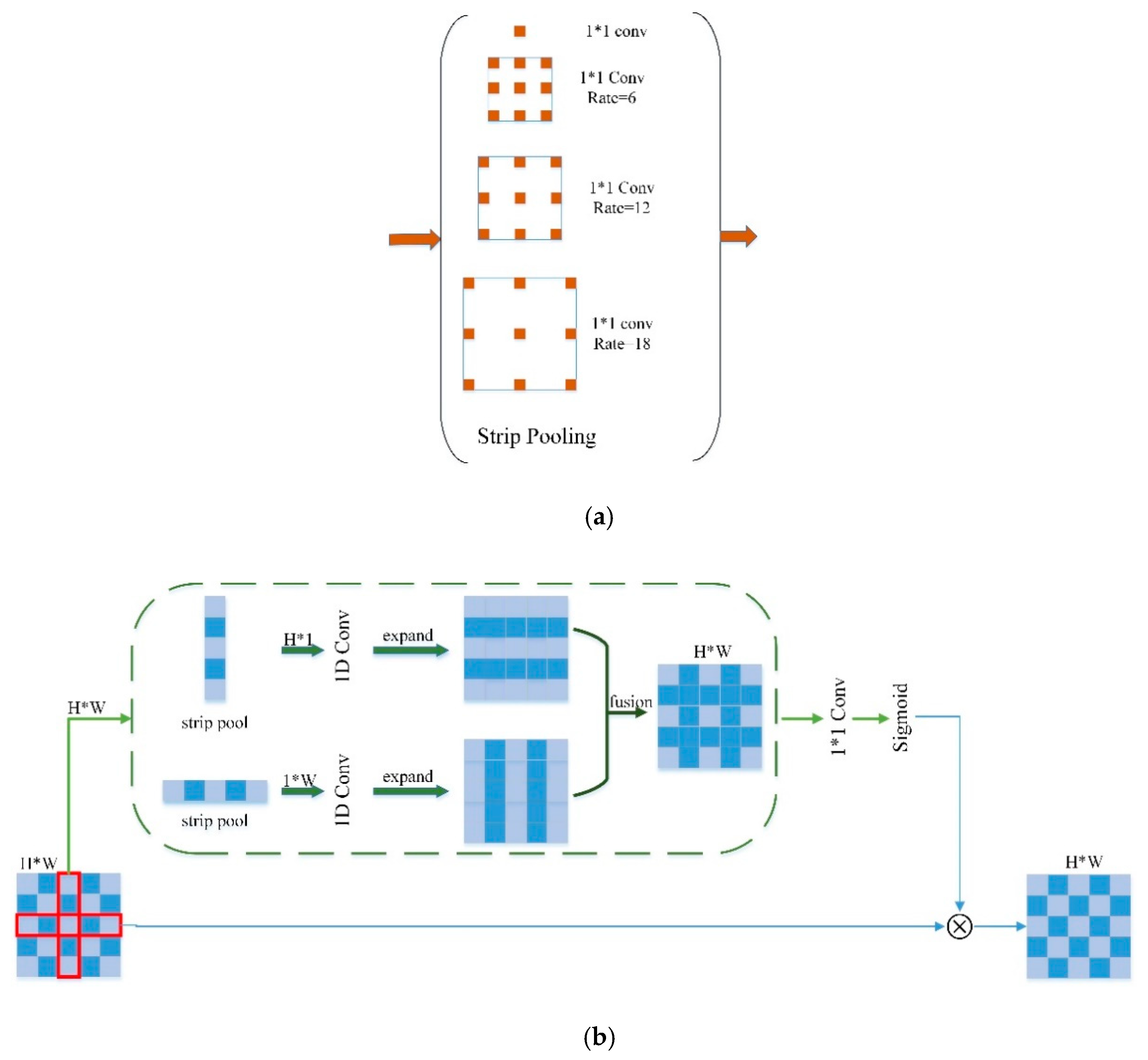
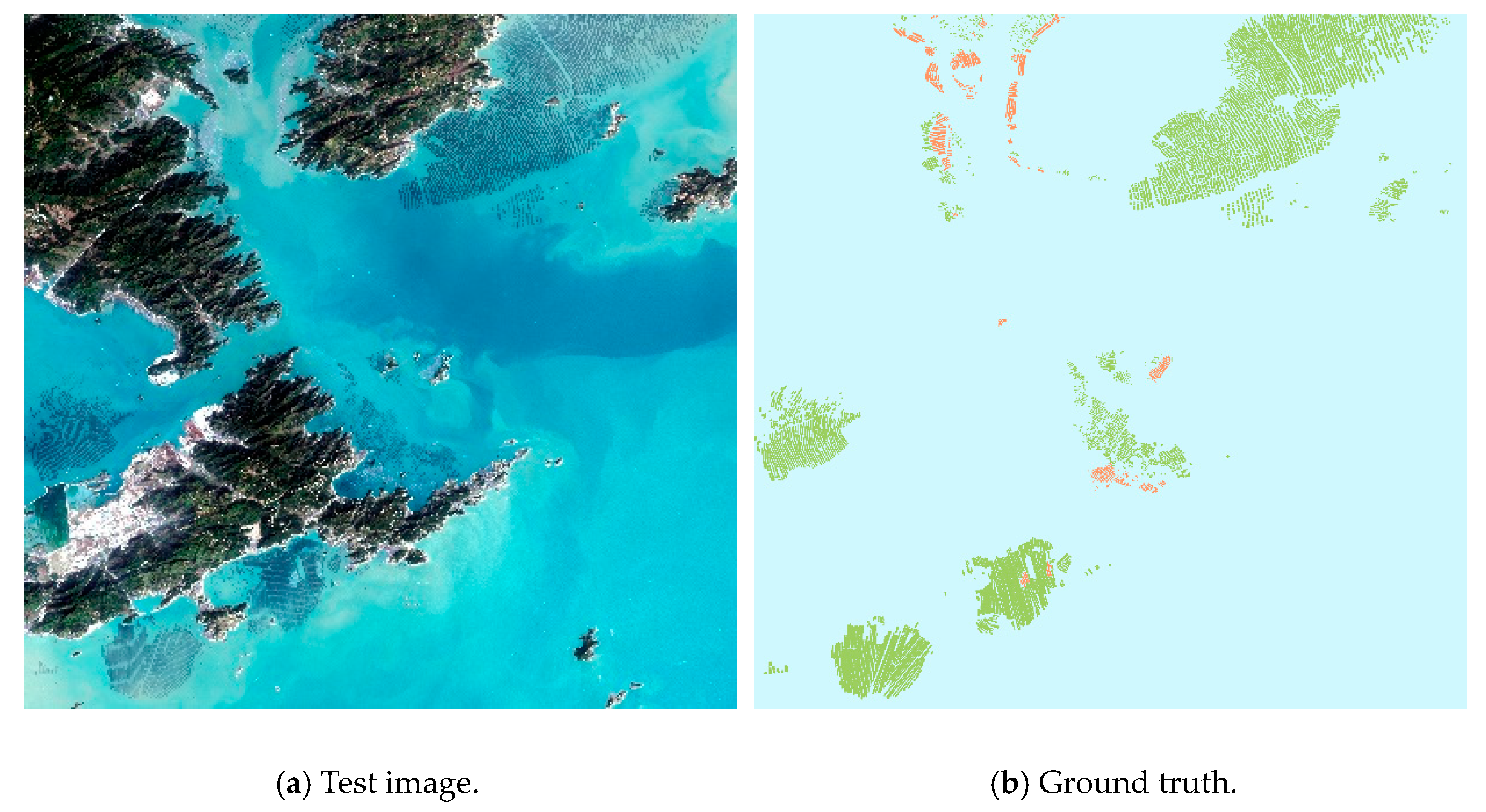
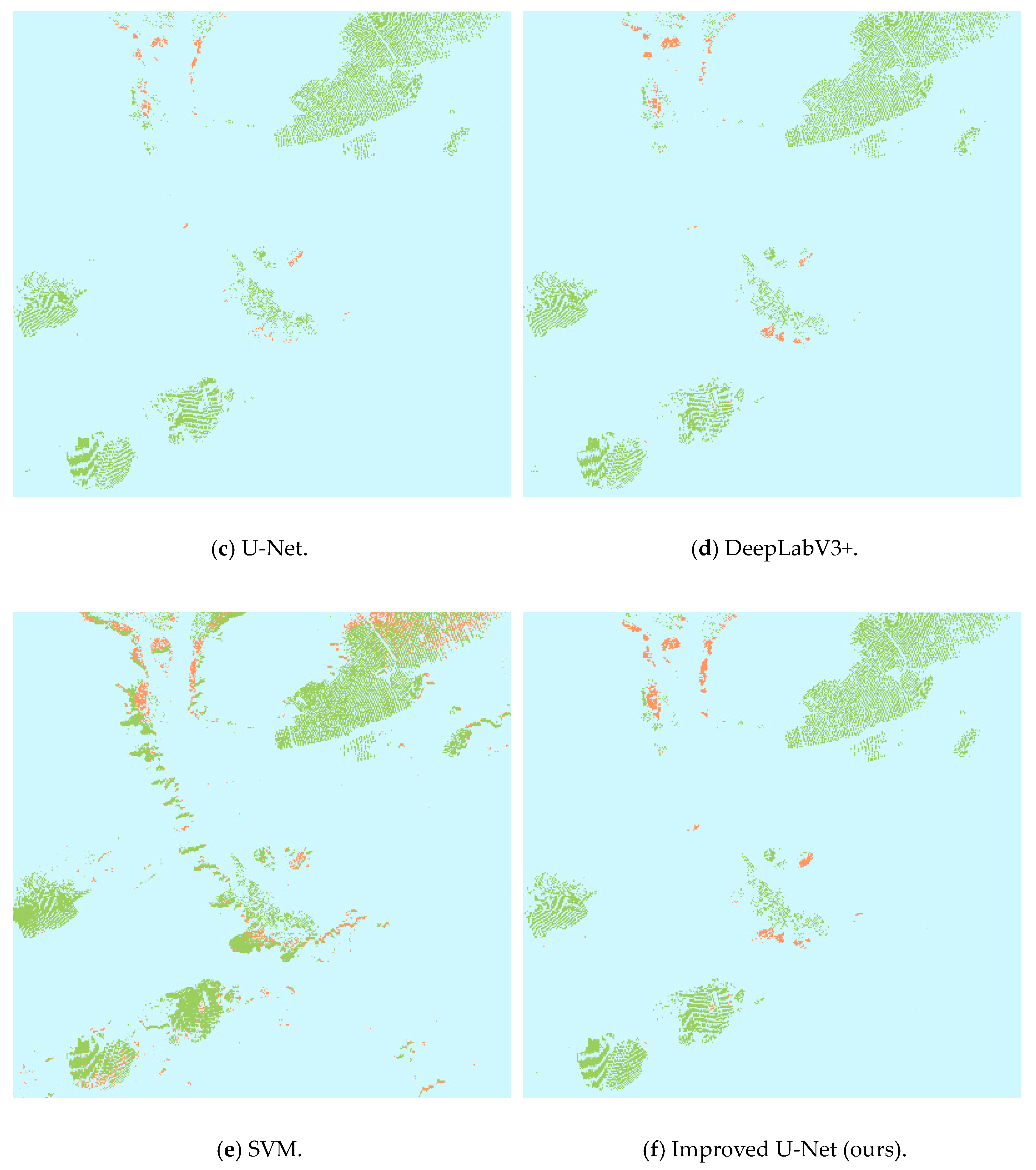
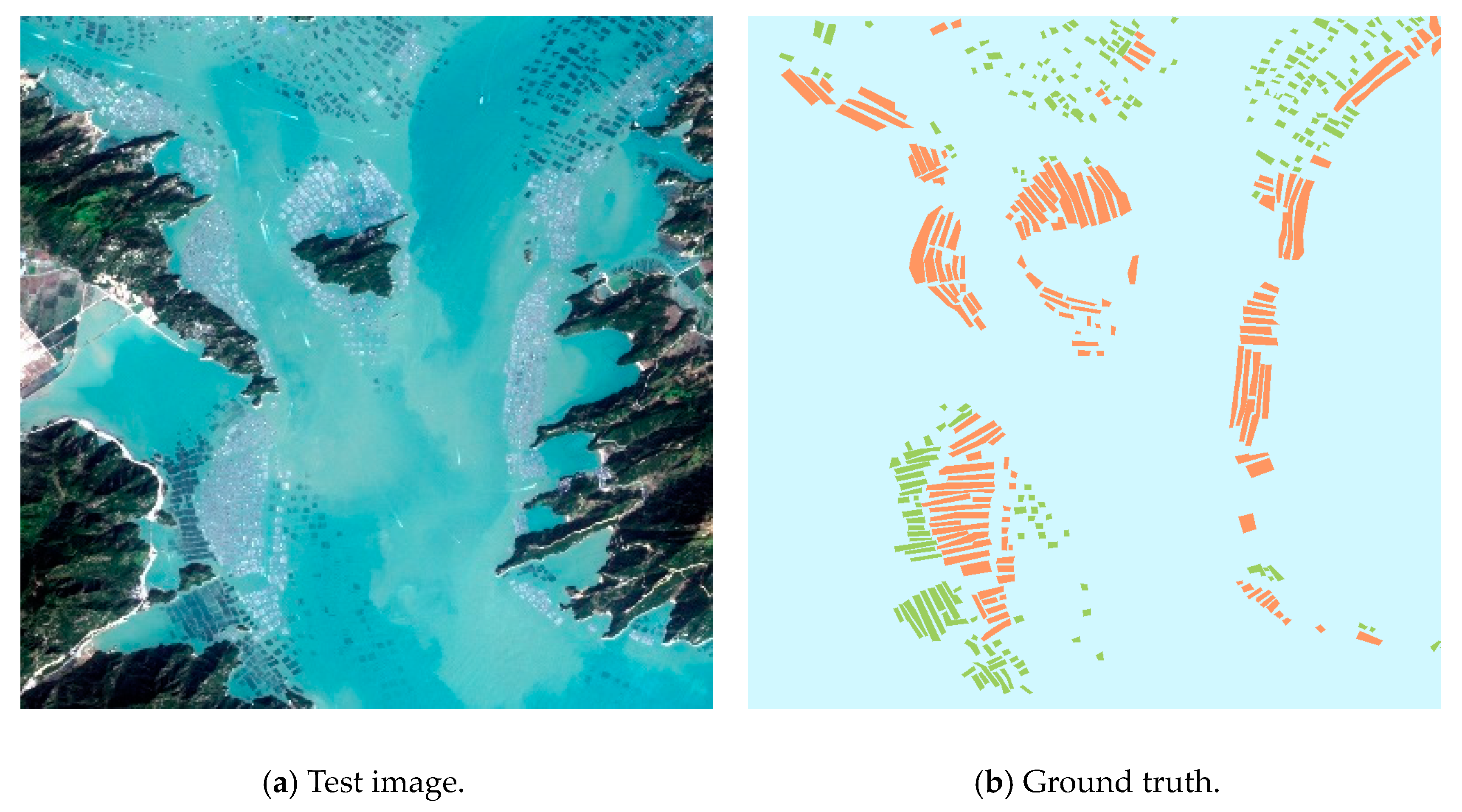
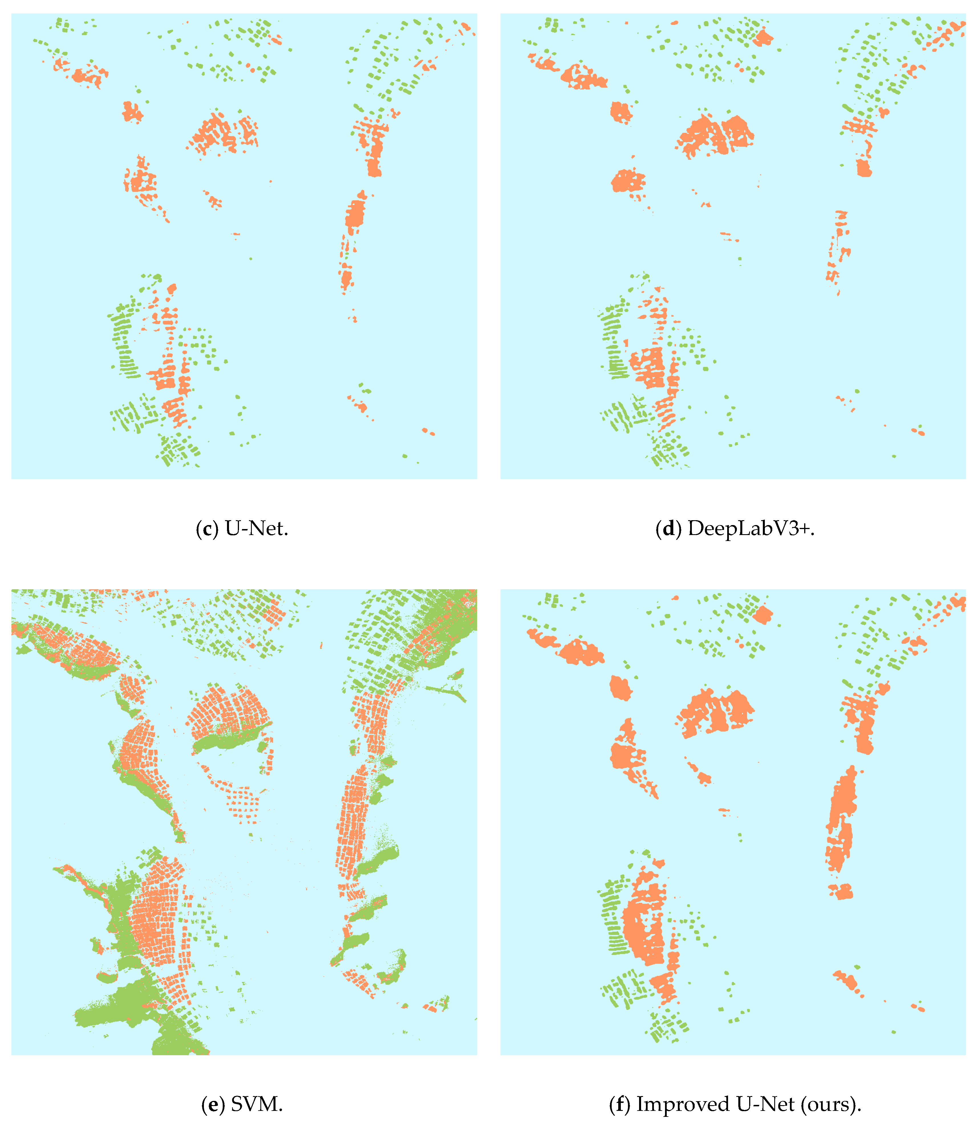
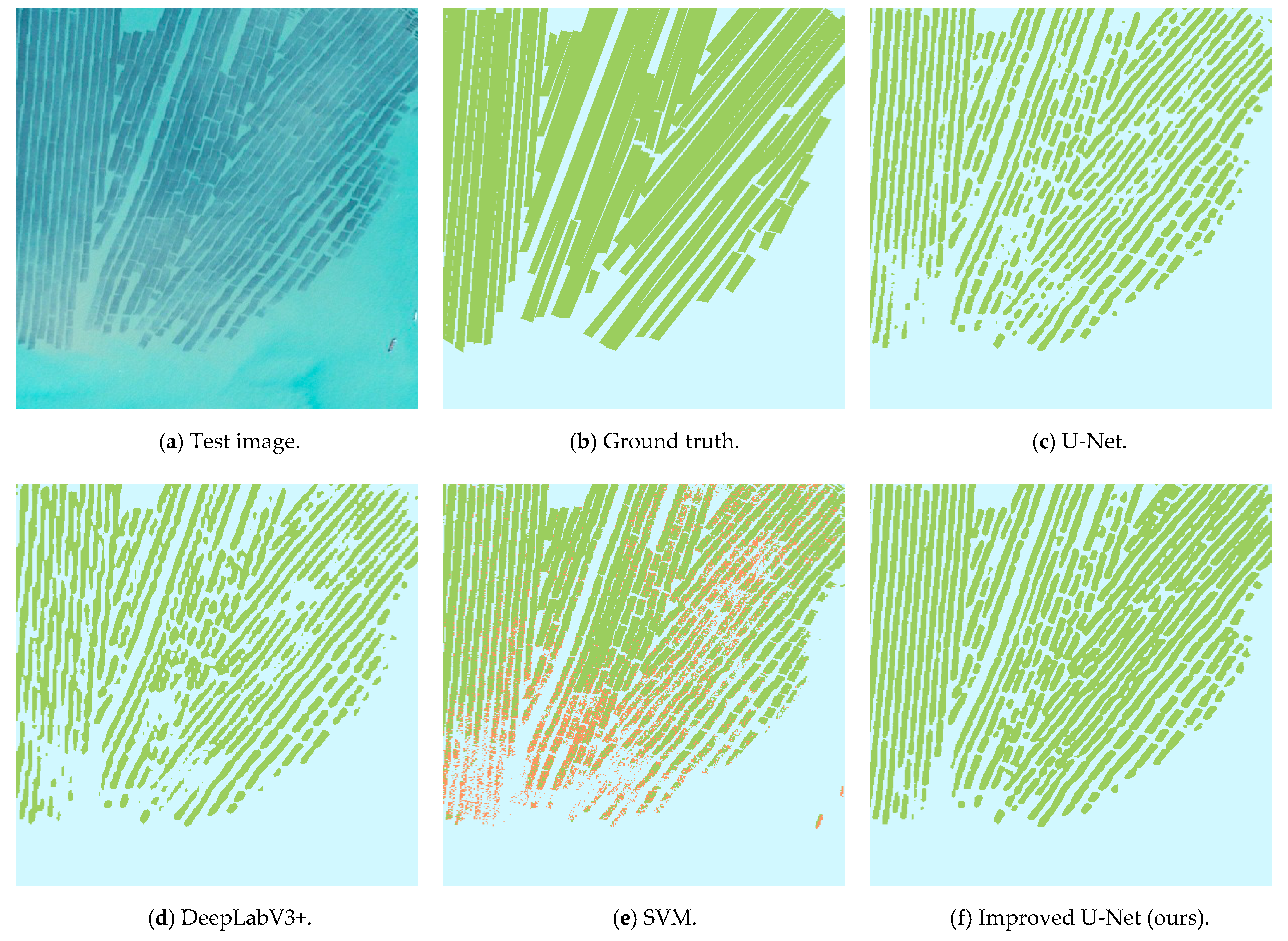
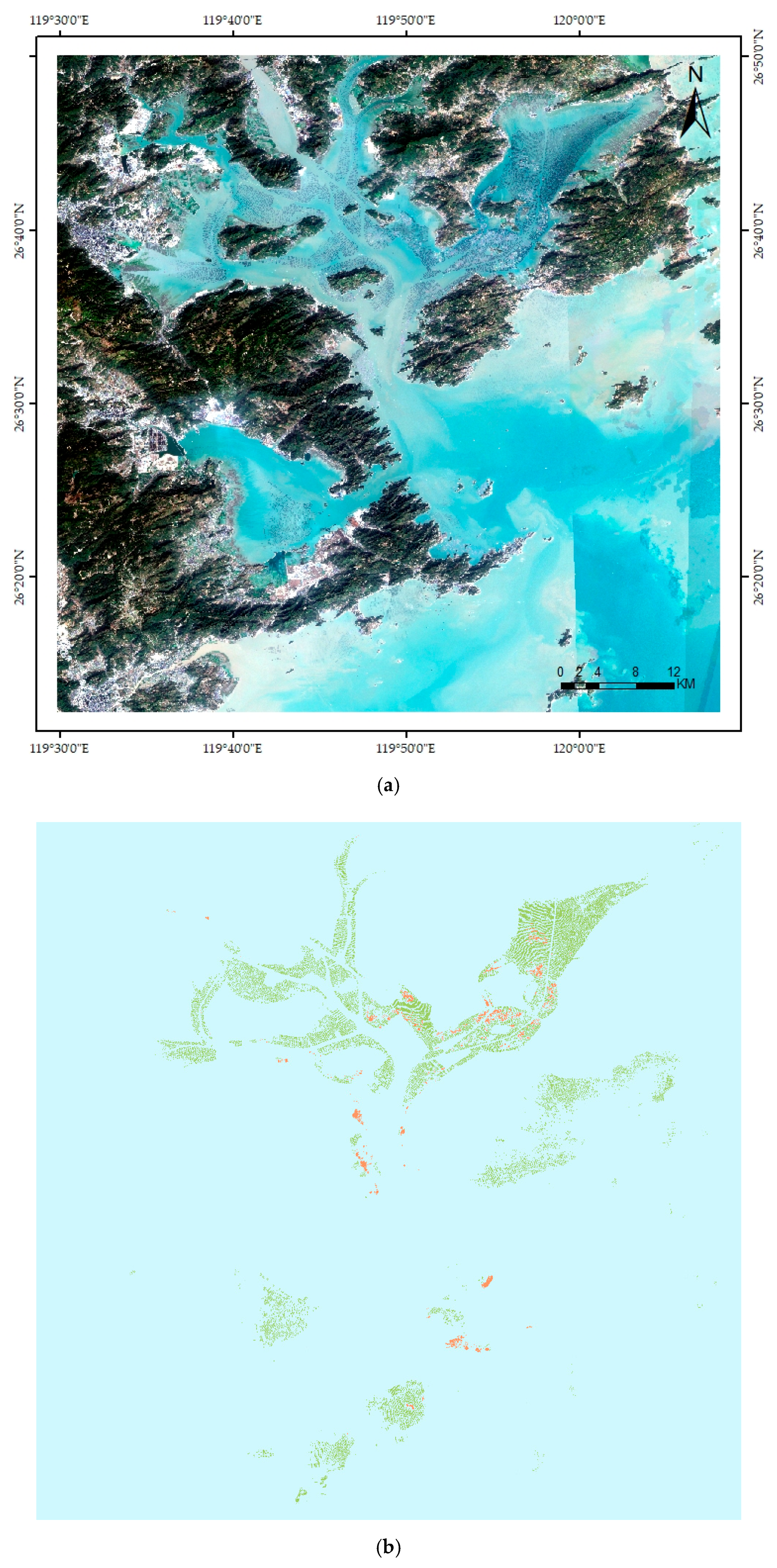
It is important for aquaculture monitoring, scientific planning, and management to extract offshore aquaculture areas from medium-resolution remote sensing images. However, in medium-resolution images, the spectral characteristics of offshore aquaculture areas are complex, and the offshore land and seawater seriously interfere with the extraction of offshore aquaculture areas. On the other hand, in medium-resolution images, due to the relatively low image resolution, the boundaries between breeding areas are relatively fuzzy and are more likely to ‘adhere’ to each other. An improved U-Net model, including, in particular, an atrous spatial pyramid pooling (ASPP) structure and an up-sampling structure, is proposed for offshore aquaculture area extraction in this paper. The improved ASPP structure and up-sampling structure can better mine semantic information and location information, overcome the interference of other information in the image, and reduce ‘adhesion’. Based on the northeast coast of Fujian Province Sentinel-2 Multispectral Scan Imaging (MSI) image data, the offshore aquaculture area extraction was studied. Based on the improved U-Net model, the F1 score and Mean Intersection over Union (MIoU) of the classification results were 83.75% and 73.75%, respectively. The results show that, compared with several common classification methods, the improved U-Net model has a better performance. This also shows that the improved U-Net model can significantly overcome the interference of irrelevant information, identify aquaculture areas, and significantly reduce edge adhesion of aquaculture areas.
Keywords: medium-resolution remote sensing image; offshore aquaculture area; deep learning; U-Net; classification medium-resolution remote sensing image; offshore aquaculture area; deep learning; U-Net; classification