

Topic Editors

College of Agriculture, Shihezi University, Shihezi 832003, China
Farmland Irrigation Research Institute, Chinese Academy of Agricultural Sciences, 380 Hongli Road, Xinxiang 453003, China
1. Department of Plant & Soil Science, Texas Tech University, 2500 Broadway, Lubbock, TX 79409, USA
2. Department of Soil and Crop Sciences, Texas A&M University, TAMU 2124, College Station, TX 77843, USA

College of Agriculture, South China Agricultural University, Guangzhou 510642, China

Advances in Smart Agriculture with Remote Sensing as the Core and Its Applications in Crops Field, 2nd Edition
Abstract submission deadline
30 April 2027
Manuscript submission deadline
30 June 2027
Viewed by
3315

Topic Information

Dear Colleagues,

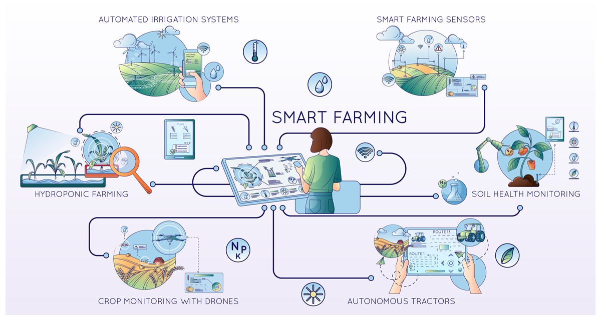
In recent years, smart agriculture with remote sensing and modeling technologies has brought significant benefits in crop fields and has also altered our understanding and management of crops. Remote sensing allows for crop growth monitoring on different scales such as “ground–low altitude–satellite”, while crop modeling provides predictive insights into crop growth and yield based on a diverse set of environmental parameters. Remote sensing and modeling are fully integrated into applications of crop growth, nutrition demands, irrigation management, and pest control in smart agriculture to optimize agricultural practices, enhance resource efficiency, and make substantial contributions to sustainable agricultural development. This research topic aims to seamlessly integrate remote sensing and modeling, essential components in smart agriculture, to address urgent challenges such as optimizing resource utilization and sustainable agricultural development with enhanced crop production.

The scope of this research topic encompasses a broad range of subjects including but not limited to:

  • Integrating remote sensing data with plant traits into crop models to enhance prediction accuracy and decision support.
  • Applying machine learning and AI algorithms in crop modeling for increased accuracy and adaptability.
  • Utilizing the Internet of Things, sensors, and drones for real-time data collection and monitoring in smart agriculture.

We invite authors to contribute original research articles, perspectives, and reviews, providing valuable insights into the ”Advances in Smart Agriculture with Remote Sensing as the Core and Its Applications in Crops Field, 2nd Edition”.

Dr. Yang Liu
Dr. Ben Zhao
Dr. Wenxuan Guo
Dr. Lei Zhang
Topic Editors

Keywords

  • crop
  • remote sensing
  • crop modeling
  • smart agriculture
  • machine learning

Participating Journals

Journal Name Impact Factor CiteScore Launched Year First Decision (median) APC
Agriculture
agriculture
4.5 7.8 2011 17.4 Days CHF 2600 Submit
Agronomy
agronomy
4.1 7.6 2011 17.7 Days CHF 2600 Submit
Crops
crops
2.1 2.9 2021 20.7 Days CHF 1200 Submit
Plants
plants
4.7 8.5 2012 14.8 Days CHF 2700 Submit
Remote Sensing
remotesensing
4.3 9.4 2009 22 Days CHF 2700 Submit

Preprints.org is a multidisciplinary platform offering a preprint service designed to facilitate the early sharing of your research. It supports and empowers your research journey from the very beginning.

MDPI Topics is collaborating with Preprints.org and has established a direct connection between MDPI journals and the platform. Authors are encouraged to take advantage of this opportunity by posting their preprints at Preprints.org prior to publication:

  1. Share your research immediately: disseminate your ideas prior to publication and establish priority for your work.
  2. Safeguard your intellectual contribution: Protect your ideas with a time-stamped preprint that serves as proof of your research timeline.
  3. Boost visibility and impact: Increase the reach and influence of your research by making it accessible to a global audience.
  4. Gain early feedback: Receive valuable input and insights from peers before submitting to a journal.
  5. Ensure broad indexing: Web of Science (Preprint Citation Index), Google Scholar, Crossref, SHARE, PrePubMed, Scilit and Europe PMC.

Published Papers (6 papers)

Order results
Result details
Journals
Select all
Export citation of selected articles as:
35 pages, 3549 KB  
Article
A Stability-Driven Framework for Automated Operational Crop Mapping Using Optical and Radar Satellite Image Time Series
by Maryam Choukri, Yacine Bouroubi, Jamal-Eddine Ouzemou, Abdelghani Chehbouni and Ahmed Laamrani
Remote Sens. 2026, 18(13), 2149; https://doi.org/10.3390/rs18132149 - 2 Jul 2026
Viewed by 163
Abstract
Operational crop mapping requires classifiers capable of robust generalization across years. While feature importance is routinely used for model optimization, its temporal stability has rarely been systematically investigated, creating a critical gap in deploying reliable monitoring systems. This study moves beyond identifying “most [...] Read more.
Operational crop mapping requires classifiers capable of robust generalization across years. While feature importance is routinely used for model optimization, its temporal stability has rarely been systematically investigated, creating a critical gap in deploying reliable monitoring systems. This study moves beyond identifying “most important” features to systematically evaluate and quantify their inter-annual stability for enabling automated classification. Using six agricultural years (2018, 2019, 2020, 2023, 2024 and 2025) of Sentinel-1 and Sentinel-2 data over Morocco, we extracted 156 multi-sensor features across 12 monthly composites and analyzed their importance stability through statistical metrics, clustering, and novel composite indices: the Reliability Index (RI) and Automatic Selection Score (AuSS). This framework automates feature selection by ranking features with RI and AuSS and then applying Pareto optimization to identify a minimal stable feature set—without requiring annual retraining or expert intervention. Our analysis confirms a fundamental tension: the most discriminative features (e.g., NDVI, VH, VV) are also the most volatile, while stable features (e.g., NDRE, MSI, NDMI) offer modest predictive power. Hierarchical clustering revealed four behavioral typologies (Dominant Stable, Performant Volatile, Stable Minor, and Noise), guiding strategic feature management. Crucially, a Pareto analysis demonstrated that a refined portfolio of 6 indices (VH, VV, NDVI, NDRE, GCVI, RVI) captures 57.2% of cumulative predictive importance, filtering out inter-annual noise while preserving discriminative signal. The Voting Ensemble leveraging this Stable Portfolio maintained consistent high accuracy (87.4% accuracy, 87.2% F1-score) with minimal performance degradation during temporal transfer, while models based on volatile top features exhibited significant drops. Entropy analysis confirmed that all features in the Stable Portfolio provide consistent informational certainty, indicating that stability-driven selection does not increase model uncertainty. We conclude that feature stability is not merely a diagnostic metric but a foundational criterion for operational design. We propose a practical, metrics-driven framework for constructing automated crop classification systems that are more resilient to inter-annual climate variability. Full article
Show Figures

Figure 1

25 pages, 31983 KB  
Article
Wide + Tiles Vision Transformer Framework for Smartphone-Based Grassland Biomass Prediction in Heterogeneous Field Conditions
by Ranida Arystanova, Darkhan Zeinulla, Gulnara Kabzhanova, Anuarbek Bissembayev, Roza Bekseitova, Dani Sarsekova, Bakhbayeva Saule, Asset Arystanov, Janay Sagin and Margulan Nurtay
Agriculture 2026, 16(13), 1401; https://doi.org/10.3390/agriculture16131401 - 27 Jun 2026
Viewed by 213
Abstract
This study addresses the issue of accurate and rapid aboveground biomass estimation in rangeland ecosystems, as traditional grazing methods are labor-intensive, while modern remote sensing techniques often require expensive equipment and controlled conditions. The goal of this work is to develop an efficient [...] Read more.
This study addresses the issue of accurate and rapid aboveground biomass estimation in rangeland ecosystems, as traditional grazing methods are labor-intensive, while modern remote sensing techniques often require expensive equipment and controlled conditions. The goal of this work is to develop an efficient and accessible approach for biomass estimation of natural pastures based on ground-level RGB images captured with smartphones. For this purpose, a dataset consisting of 1196 field images and corresponding biomass values collected from 40 districts in southern Kazakhstan was used, and a wide + tiles architecture based on the DINOv3 model of Vision Transformer was proposed. The model utilized attention pooling and feature fusion mechanisms to integrate both global and local features, and various preprocessing and augmentation strategies were comparatively examined. Experimental results demonstrated that the proposed method exhibits high accuracy (with the best result being R2 = 0.733, MAE ≈ 0.779 c/ha), where the DINOv3 model showed clear advantages over ConvNeXtV2. Furthermore, the impact of preprocessing strategies was minimal, and the importance of high-resolution images was clearly established. The obtained results show that the proposed method performs consistently under heterogeneous field conditions and allows for reliable biomass estimation without the need for specialized equipment. This makes it a practical tool for monitoring pastures, planning forage supply, and supporting agronomic decision-making. Full article
Show Figures

Figure 1

27 pages, 4024 KB  
Article
Mapping of Crop Planting Structures Under Limited Training Samples Using TabPFN and Sentinel-2 Time Series Data
by Ke Yang, Yanyan Huang and Xin Lu
Remote Sens. 2026, 18(11), 1857; https://doi.org/10.3390/rs18111857 - 5 Jun 2026
Viewed by 387
Abstract
Accurate mapping of crop planting structures is critical for precision agriculture, yet it remains challenging in rugged terrain with fragmented fields, frequent cloud contamination, and limited high-quality training samples. This study evaluates an integrated framework combining recursive feature elimination (RFE) and the pretrained [...] Read more.
Accurate mapping of crop planting structures is critical for precision agriculture, yet it remains challenging in rugged terrain with fragmented fields, frequent cloud contamination, and limited high-quality training samples. This study evaluates an integrated framework combining recursive feature elimination (RFE) and the pretrained Tabular Prior-Data Fitted Network (TabPFN) for small-sample crop classification using Sentinel-2 time-series data in Yuxi City, located on the western margin of the Yunnan–Guizhou Plateau. A multidimensional feature set integrating spectral and temporal vegetation indices and textural and geospatial information was constructed and optimized via RFE. The TabPFN model achieved an overall accuracy (OA) of 96.27%, a kappa coefficient of 0.9558, and a macro-F1 score of 0.956 in the main validation. In repeated small-sample experiments, TabPFN maintained a mean OA of 90.60% at a 30% training-sample ratio and 82.89% at a 10% ratio. RF-guided feature ranking and ablation analyses suggested that temporal vegetation indices were important predictors, followed by early-season spectral characteristics, textural features, and supplementary geospatial information. Overall, these findings indicate that RFE-TabPFN is a feasible option for 10 m crop mapping in Yuxi under limited training samples, while its broader applicability still requires further testing across additional years, regions, and cropping systems. Full article
Show Figures

Figure 1

25 pages, 14527 KB  
Article
Effect Analysis of Spectral and Spatial Variations on Attention-Based Cropland Extraction Networks
by Lin Cheng, Cailong Deng, Chaohu Zhou, Yong Zhang, Haojian Lu, Zhen Li and Shiyu Chen
Remote Sens. 2026, 18(10), 1501; https://doi.org/10.3390/rs18101501 - 10 May 2026
Viewed by 470
Abstract
Accurate extraction of cropland is essential for optimizing regional land-use structure and ensuring food security. Although attention-based deep learning has advanced cropland extraction, the lack of a quantitative framework to evaluate the trade-off between spectral band count and spatial resolution hinders optimal sensor [...] Read more.
Accurate extraction of cropland is essential for optimizing regional land-use structure and ensuring food security. Although attention-based deep learning has advanced cropland extraction, the lack of a quantitative framework to evaluate the trade-off between spectral band count and spatial resolution hinders optimal sensor configuration. To address this gap, we employ two representative attention-based segmentation networks, BsiNet and REAUnet, to conduct controlled spectral–spatial variation experiments, and proposes an equivalent IoU (Iso-IoU) equivalent model to quantify their complementary relationship. By conducting experiments with multiple band combinations and multi-scale spatial resolutions, we quantitatively evaluate the respective contributions of spectral and spatial information to model performance and further analyze their coupling relationship. The results show that: (1) model performance is positively correlated with spectral richness (i.e., band count), where four-band configurations achieve an IoU improvement of approximately 1.5–4% compared with single-band inputs. While the inclusion of the near-infrared (NIR) band consistently yields the highest accuracy within each band count group, the total number of available spectral bands remains the primary driver of segmentation performance; (2) model performance is more sensitive to spatial resolution, and the IoU decreases by about 5–7% on average when the spatial resolution is degraded to one-quarter of the original resolution; (3) a quantifiable complementary relationship exists between spectral band combinations and spatial resolution, which can be described by the proposed Iso-IoU model; (4) the two attention-based networks examined in this study exhibit stable error tendencies in cropland extraction, with consistent false-positive and false-negative patterns. These findings provide practical guidance for cropland extraction with remote sensing images. Prioritizing NIR information and maintaining sufficient spatial resolution are critical for preserving segmentation accuracy, while the Iso-IoU model enables quantitative optimization of spectral–spatial configurations under sensor constraints. Full article
Show Figures

Figure 1

18 pages, 10445 KB  
Article
Hyperspectral Imaging-Based Evaluation of Seasonal Growth Characteristics in Turfgrass
by Jae Gyeong Jung, Eun Seol Jeong, Jae Yeob Jeong, Jun Hyuck Yoon, Donghwan Shim and Eun Ji Bae
Plants 2026, 15(9), 1393; https://doi.org/10.3390/plants15091393 - 1 May 2026
Viewed by 371
Abstract
Efficient phenotyping is essential for accelerating genetic improvement in turfgrass breeding, where manual measurements are labor-intensive. This study evaluated hyperspectral imaging (HSI) as a high-throughput tool for assessing Zoysia spp. breeding populations consisting of 464 genotypes. HSI data (400–1000 nm) were processed through [...] Read more.
Efficient phenotyping is essential for accelerating genetic improvement in turfgrass breeding, where manual measurements are labor-intensive. This study evaluated hyperspectral imaging (HSI) as a high-throughput tool for assessing Zoysia spp. breeding populations consisting of 464 genotypes. HSI data (400–1000 nm) were processed through a user-in-the-loop hybrid segmentation pipeline integrating UMAP dimensionality reduction, DBSCAN clustering, Random Forest classification, and pseudo-RGB refinement. To independently assess vegetation classification performance, 10,000 manually annotated reference points from 50 pseudo-RGB images were compared with the automated module, yielding an overall accuracy of 0.9697, a precision of 0.8830, a recall of 0.9240, a specificity of 0.9779, an F1-score of 0.9030, and Cohen’s kappa of 0.8851. A Combined Ranking Score (CRS) integrating five vegetation indices and vegetation pixel count was significantly associated with aerial shoot count (r = −0.445, p < 0.001) and runner count (r = −0.207, p < 0.001). The highest-ranked genotype showed a 9370.3-pixel increase in vegetation area between 6 and 16 weeks after transplanting, compared with 1417.7 pixels for the lowest-ranked genotype. Classification performance declined under high-coverage conditions, indicating increased mixed-pixel ambiguity in dense canopies. These results suggest that HSI-based CRS can support rapid, objective, and non-destructive relative ranking of density-related vegetative growth in turfgrass breeding. Because the study was conducted at a single location and season and correlations with manual traits were moderate, the framework is best interpreted as a screening and ranking tool rather than a direct predictive model. Full article
Show Figures

Figure 1

22 pages, 4431 KB  
Article
LA-YOLO: Robust Tea-Shoot Detection Under Dynamic Illumination via Input Illumination Stabilization and Discriminative Feature Learning
by Menghua Liu, Fanghua Liu and Junchao Chen
Agriculture 2026, 16(7), 809; https://doi.org/10.3390/agriculture16070809 - 4 Apr 2026
Viewed by 748
Abstract
Accurate tea-shoot detection in real tea gardens is essential for intelligent harvesting, yet dynamic illumination (low light, strong light, and shadows) can cause brightness/contrast fluctuations and feature distribution shifts, degrading detection stability and localization accuracy. This paper proposes LA-YOLO, a dynamic-light tea-shoot detector [...] Read more.
Accurate tea-shoot detection in real tea gardens is essential for intelligent harvesting, yet dynamic illumination (low light, strong light, and shadows) can cause brightness/contrast fluctuations and feature distribution shifts, degrading detection stability and localization accuracy. This paper proposes LA-YOLO, a dynamic-light tea-shoot detector based on YOLOv11. First, we construct a dynamic-light benchmark dataset and a difficulty-stratified evaluation protocol with four single-light subsets (A–D) and a mixed-light subset (E). Second, we design LA-CSNorm, an input-side brightness-adaptive preprocessing module that applies gated enhancement to dark samples followed by channel-selective normalization to reduce illumination-induced drift. Third, we propose RECA, a residual efficient channel-attention module to enhance discriminative channels and improve localization stability. Ablation studies show that LA-CSNorm and RECA provide complementary gains, and their combination improves the YOLOv11 baseline to 0.831 mAP@0.5 and 0.621 mAP@0.5:0.95, with only 0.01 M additional parameters. On the mixed-light subset E, LA-YOLO achieves 0.816 mAP@0.5 and 0.613 mAP@0.5:0.95, and consistently outperforms mainstream YOLO variants (e.g., YOLOv11m) under dynamic lighting conditions. These results demonstrate that LA-YOLO offers a robust and deployment-friendly solution for tea-shoot detection in complex natural illumination. Full article
Show Figures

Figure 1

Back to TopTop