Error in Figure
In the original article [1], the Chinese boundary was wrongly demarcated in Figure 1 as published. As a consequence, the graphical abstract containing this figure should also be noted. The corrected figure appears below.

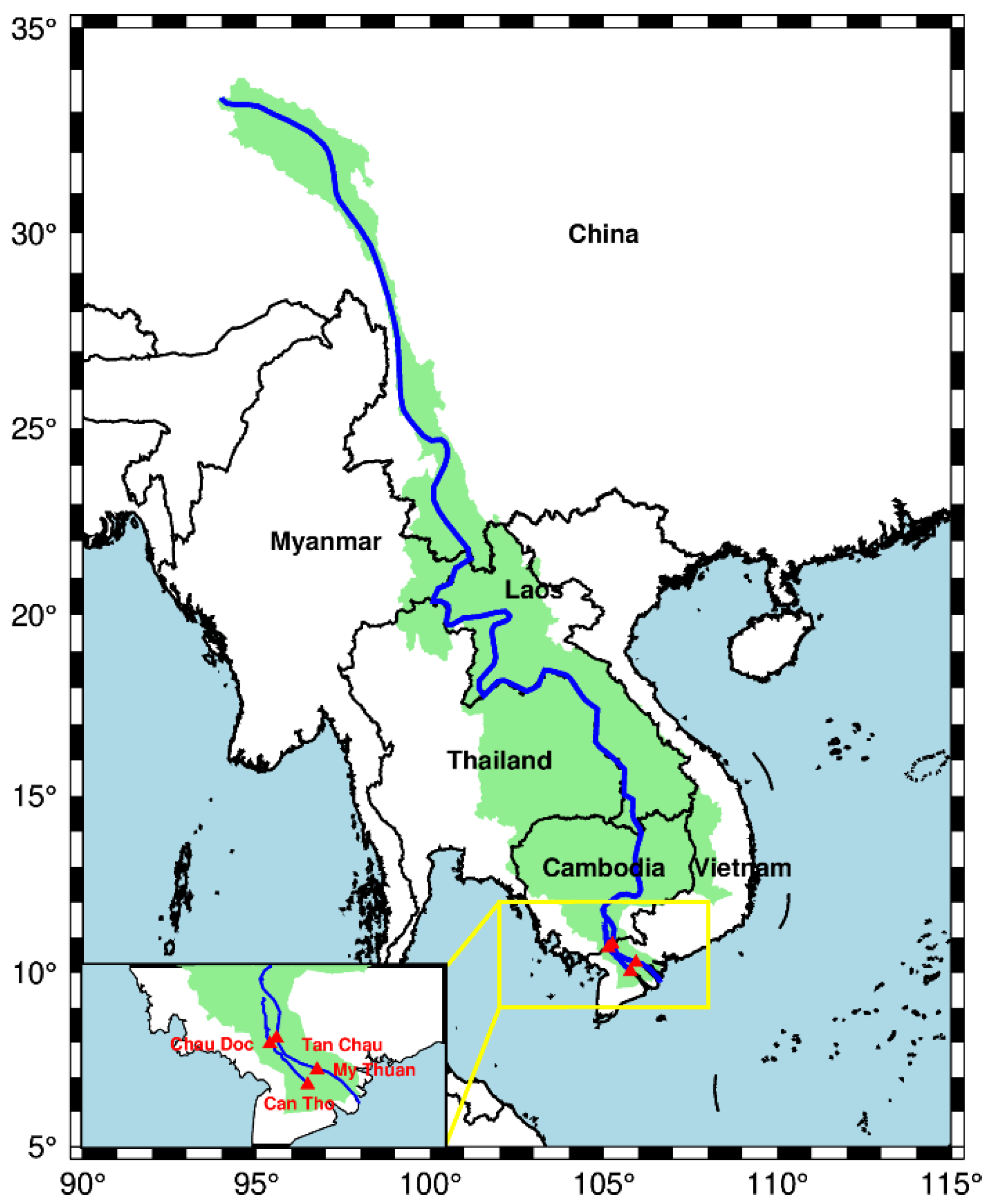
Figure 1.
Map of Mekong basin with two pairs of selected hydrological stations (My Thuan and Can Tho, and Chau Doc and Tan Chau) located in the Mekong Delta.
Text Correction
In Section 2.1, paragraph 2, the text “Table 2” should be replaced by “Table 1”.
The authors apologize for any inconvenience caused and state that the scientific conclusions are unaffected. The original article has also been updated.
Reference
- Shi, T.; Fok, H.S.; Ma, Z. Interactive contribution of Indian summer monsoon and western north pacific monsoon to water level and terrestrial water storage in the Mekong basin. Remote Sens. 2021, 13, 3399. [Google Scholar] [CrossRef]
Disclaimer/Publisher’s Note: The statements, opinions and data contained in all publications are solely those of the individual author(s) and contributor(s) and not of MDPI and/or the editor(s). MDPI and/or the editor(s) disclaim responsibility for any injury to people or property resulting from any ideas, methods, instructions or products referred to in the content. |
© 2022 by the authors. Licensee MDPI, Basel, Switzerland. This article is an open access article distributed under the terms and conditions of the Creative Commons Attribution (CC BY) license (https://creativecommons.org/licenses/by/4.0/).