applsci-logo

Journal Browser

Journal Browser

Sustainable Land Management Through Remote Sensing and Data Assimilation Technologies

A special issue of Applied Sciences (ISSN 2076-3417). This special issue belongs to the section "Agricultural Science and Technology".

Deadline for manuscript submissions: 31 October 2025 | Viewed by 2058

Special Issue Editors


E-Mail Website
Guest Editor
College of Land Science and Technology, China Agricultural University, Beijing 100193, China
Interests: cultivated land protection; land use; land consolidation

E-Mail Website
Guest Editor
School of Public Affairs, Zhejiang University, Hangzhou 310058, China
Interests: land use and region development; urban growth and land management; utilization and protection of cultivated land

Special Issue Information

Dear Colleagues,

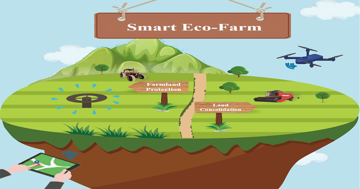
The Special Issue focuses on sustainable land management, encompassing key areas such as farmland protection and land consolidation. Farmland protection and land consolidation are the dual pillars of ensuring food security and ecological environment health. Farmland protection is carried out by preventing the reduction and degradation of farmland resources, as well as maintaining the foundation of national food production. Land consolidation, on the other hand, enhances agricultural productivity and sustainability by optimizing land use structure, improving soil quality, and improving agricultural infrastructure. The rapid development of remote sensing technology and data assimilation methods provides more accurate decision support for farmland protection and land consolidation. This Special Issue aims to explore frontier research and practical applications in the areas of remote sensing, data assimilation, and their roles in farmland protection and land consolidation.

Key areas of interest include, but are not limited to, remote sensing techniques for farmland monitoring, the integration of multispectral and hyperspectral data, precision agriculture, land consolidation strategies, soil and water resource management, climate impact modeling, and the development of decision support systems based on data assimilation. Research focused on novel methods for integrating satellite and unmanned aerial vehicle data, AI-driven analytics, and the optimization of agricultural practices will also be considered.

This Special Issue will publish high-quality, original research papers in the overlapping fields of the following:

  • Remote sensing for agriculture;
  • Data assimilation techniques in land management;
  • Precision agriculture;
  • Farmland monitoring and evaluation;
  • Land consolidation technologies;
  • Soil and water conservation;
  • Climate modeling and its impact on agriculture;
  • Decision support systems for farmland management;
  • Construction and evaluation of well-facilitated farmland;
  • Farmland ecosystem;
  • Development of reserved land resources for cultivation;
  • Marginal land development.

Dr. Huaizhi Tang
Prof. Dr. Yongzhong Tan
Guest Editors

Manuscript Submission Information

Manuscripts should be submitted online at www.mdpi.com by registering and logging in to this website. Once you are registered, click here to go to the submission form. Manuscripts can be submitted until the deadline. All submissions that pass pre-check are peer-reviewed. Accepted papers will be published continuously in the journal (as soon as accepted) and will be listed together on the special issue website. Research articles, review articles as well as short communications are invited. For planned papers, a title and short abstract (about 100 words) can be sent to the Editorial Office for announcement on this website.

Submitted manuscripts should not have been published previously, nor be under consideration for publication elsewhere (except conference proceedings papers). All manuscripts are thoroughly refereed through a single-blind peer-review process. A guide for authors and other relevant information for submission of manuscripts is available on the Instructions for Authors page. Applied Sciences is an international peer-reviewed open access semimonthly journal published by MDPI.

Please visit the Instructions for Authors page before submitting a manuscript. The Article Processing Charge (APC) for publication in this open access journal is 2400 CHF (Swiss Francs). Submitted papers should be well formatted and use good English. Authors may use MDPI's English editing service prior to publication or during author revisions.

Keywords

  • remote sensing
  • data assimilation
  • cultivated land protection
  • land use
  • land consolidation
  • well-facilitated farmland
  • precision agriculture
  • cultivated land reserve resources
  • multispectral imaging
  • hyperspectral data
  • satellite data integration
  • agricultural monitoring
  • sustainable land management
  • multisource data

Benefits of Publishing in a Special Issue

  • Ease of navigation: Grouping papers by topic helps scholars navigate broad scope journals more efficiently.
  • Greater discoverability: Special Issues support the reach and impact of scientific research. Articles in Special Issues are more discoverable and cited more frequently.
  • Expansion of research network: Special Issues facilitate connections among authors, fostering scientific collaborations.
  • External promotion: Articles in Special Issues are often promoted through the journal's social media, increasing their visibility.
  • e-Book format: Special Issues with more than 10 articles can be published as dedicated e-books, ensuring wide and rapid dissemination.

Further information on MDPI's Special Issue policies can be found here.

Published Papers (3 papers)

Order results
Result details
Select all
Export citation of selected articles as:

Research

20 pages, 6080 KiB  
Article
Comprehensive Evaluation of Cultivated Land Quality in Black Soil of Northeast China: Emphasizing Functional Diversity and Risk Management
by Huaizhi Tang, Yuanyuan Zhang, Qi Liu, Mengyu Guo, Jiacheng Niu, Qiuyue Xia, Mengyin Liang, Yunjia Liu, Yuanfang Huang and Yamin Du
Appl. Sci. 2025, 15(7), 3753; https://doi.org/10.3390/app15073753 - 29 Mar 2025
Viewed by 263
Abstract
The cultivated land in the black soil of Northeast China (BSNC), due to long-term high-input and high-output utilization, is facing a series of challenges such as soil erosion, compaction, and nutrient loss. However, the existing cultivated land quality evaluation (CLQE) lacks regional specificity, [...] Read more.
The cultivated land in the black soil of Northeast China (BSNC), due to long-term high-input and high-output utilization, is facing a series of challenges such as soil erosion, compaction, and nutrient loss. However, the existing cultivated land quality evaluation (CLQE) lacks regional specificity, making it difficult to accurately reflect the cultivated land quality (CLQ) characteristics across different areas. Therefore, this study proposes a comprehensive evaluation framework that integrates both cultivated land functionality and degradation risk, establishing an assessment system consisting of 18 indicators to comprehensively evaluate the CLQ in the BSNC from multiple perspectives. The results indicate that the CLQ in the BSNC exhibits a declining trend from north to south, with second- and third-grade land dominating, accounting for 75.68% of the total cultivated land area. The overall cultivated land functionality increases from west to east, with the Liaohe Plain Region (LHP) performing the best. Low-risk cultivated land is primarily concentrated in the Songnen Plain Region (SNP) and the Western Sandy Region (WS), covering 38.55% of the total cultivated land area. Additionally, this study finds a trade-off between the primary productivity function and the resource utilization efficiency function across different regions, while a synergistic relationship is observed between resource utilization efficiency and soil nutrient maintenance functions. This research emphasizes the necessity of balancing productivity and ecological protection to achieve the sustainable and efficient use of the BSNC. Full article
Show Figures

Graphical abstract

28 pages, 11586 KiB  
Article
Exploring New Development Codes in an Era of “Land-Driven Development” Model Depletion via a Systematic Analysis of the Operational Mechanisms of Urban Land Property Rights
by Yingying Tian, Guanghui Jiang and Siduo Wu
Appl. Sci. 2025, 15(4), 2017; https://doi.org/10.3390/app15042017 - 14 Feb 2025
Viewed by 392
Abstract
To promote the role of land property rights operation (LPRO) in urbanization and socioeconomic development, an optimization mechanism framework for LPRO is constructed to analyze how different variables related to the transfer, utilization, and supervision links within the LPRO system impact its macro [...] Read more.
To promote the role of land property rights operation (LPRO) in urbanization and socioeconomic development, an optimization mechanism framework for LPRO is constructed to analyze how different variables related to the transfer, utilization, and supervision links within the LPRO system impact its macro effects. LPRO’s macro effects are promoted by the land price, advanced utilization level, land marketization level, public management land scale, residential land scale, and regulation of the upper and lower limits on the floor area ratio (FAR), with contributions of 38.18%, 22.62%, 4.78%, 3.11%, 2.43%, and 2.11%, respectively, whereas the low-quality land scale, commercial land proportion, change rate of the transfer scale, distance to the city center, and regulation of the upper limit on the FAR contribute negatively, by 6.63%, 3.14%, 2.82%, 2.65%, and 2.16%, respectively. Moreover, the role of the LPRO structure changes over time. The land marketization level has a single-threshold and increasingly positive contribution, the land price exhibits “U”-shaped double-threshold effects transforming from negative roles to positive roles, and the advanced utilization level shows double-threshold decreasing promotion effects. LPRO’s macro effects in central and western China operate similarly but differ from those in eastern China, highlighting the implementation of regionally differentiated guidance mechanisms. The results highlight the new code of “value-driven development” when the “land-driven development” model is weakening. Full article
Show Figures

Figure 1

17 pages, 2788 KiB  
Article
Mapping Abandoned Cultivated Land in China: Implications for Grain Yield Improvement
by Guanghui Jiang, Wenqiu Ma, Yuling Li, Dingyang Zhou and Tao Zhou
Appl. Sci. 2025, 15(1), 165; https://doi.org/10.3390/app15010165 - 28 Dec 2024
Viewed by 987
Abstract
The abandonment of cultivated land has profoundly affected the agroecological landscape, national food security, and farmer livelihoods, especially in China. Based on land use change survey data and national geoinformation survey data, this paper identified the distribution of abandoned cultivated land and analyzed [...] Read more.
The abandonment of cultivated land has profoundly affected the agroecological landscape, national food security, and farmer livelihoods, especially in China. Based on land use change survey data and national geoinformation survey data, this paper identified the distribution of abandoned cultivated land and analyzed the overall characteristics and spatial differentiation patterns of abandoned cultivated land in China. The results showed that: (1) In 2017, the abandoned area of cultivated land in China was approximately 9.10 million hectares, with an overall abandoned rate of approximately 5.57%. (2) The distribution of abandoned land in China had obvious spatial differences, and the trend of the area of abandoned land had an “inverted U” shape from east to west. (3) The pattern of abandonment showed a trend of spreading from a scattered distribution to a concentrated and continuous expansion from the edges of large cities and remote rural areas to the main grain-producing regions of fertile cultivated land. (4) The cultivated land abandonment has a great impact on grain production capacity, and there are differences among provinces. In 2017, China lost 40.89 million tons of grain yield due to cultivated land abandonment, accounting for 6.48% of the total grain yield, and the loss of potential grain yield reached 254.45 million tons. The cultivated land abandonment was driven not only by social effects under the dual structure of urban and rural areas but also by the rational choices of farmers under the overall balance of national policy, cultivated land income, and opportunity cost under the framework of urbanization. In the future, policy tools such as fallowing, land conversion, high farmland construction standards, and subsidies should be used to implement differentiated land use policies and optimize the spatial pattern of cultivated land use. Full article
Show Figures

Figure 1

Back to TopTop