

Remote Sens., Volume 17, Issue 18 (September-2 2025) – 136 articles
Cover Story (view full-size image):
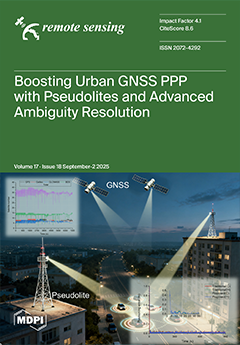
Global Navigation Satellite System (GNSS) Precise Point Positioning (PPP) offers high-precision global positioning but suffers from slow convergence and limited availability in complex urban environments due to signal blockage. Pseudolite systems (PLSs) with flexible deployment can effectively supplement GNSSs. Being closer to users, PLS transmitters provide rapid geometric changes for dynamic users, greatly accelerating convergence. This work enhances GNSS PPP with PLSs by introducing a cascaded ambiguity resolution strategy that improves the GNSS and PLS fixing rates and positioning accuracy. The proposed solution significantly boosts positioning availability, accuracy, and reliability in urban road environments, supporting precise navigation in intelligent transportation systems. View this paper
- Issues are regarded as officially published after their release is announced to the table of contents alert mailing list.
- You may sign up for e-mail alerts to receive table of contents of newly released issues.
- PDF is the official format for papers published in both, html and pdf forms. To view the papers in pdf format, click on the "PDF Full-text" link, and use the free Adobe Reader to open them.
Previous Issue
Next Issue