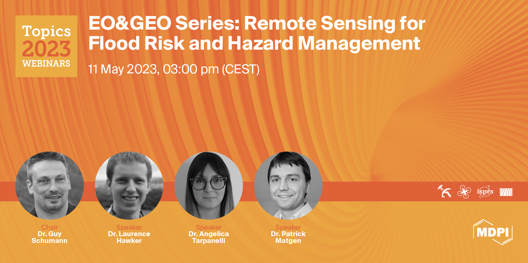
Topics Webinar | EO&GEO Series: Remote Sensing for Flood Risk and Hazard Management, Held on 11 May 2023
On 11 May 2023, MDPI and the journals Remote Sensing, Drones, Land and IJGI organized the webinar Remote Sensing for Flood Risk and Hazard Management.
The introduction was held by the Chair of the webinar, Dr. Guy Schumann, who holds academic research positions at the University of Colorado Boulder and the University of Bristol. He is also the Founder of RSS-Hydro, a European R&D company active in the areas of EO and computer modeling of water risks.
The first speaker to kick off this webinar was Dr. Laurence Hawker, who is a Senior Research Associate at the University of Bristol, specializing in global flood models and Digital Elevation Model data. He develops flood simulations and advances global datasets to support our understanding of current and future flood risks. Dr Hawker’s presentation was entitled “Generating a 30m Global Terrain Map and using them in Global Flood Models”.
The second presentation entitled “Satellite Monitoring of River Discharge and Its Use in Hydrological Applications” was held by Dr. Angelica Tarpanelli. Her research activities mainly regard the development and implementation of algorithms for hydrological and hydraulic applications through the leveraging of satellite sensors data. She is currently a Senior Researcher at the National Research Council, Research Institute for Geo-Hydrological Protection of (CNR-IRPI) in Perugia.
Dr. Patrick Matgen from the Luxembourg Institute of Science and Technology (LIST) was the third speaker, and his presentation was entitled “The Sentinel-1 Global Flood Monitoring system of the Copernicus Emergency Management Service”. His personal research interests include the assimilation of remote sensing-derived observations into hydrodynamic models and the assessment of flood hazard and risk at a large scale.
The webinar ended with a Q&A and discussion, moderated by the Chair.
Please note that this webinar is associated with the Topic titled “Advances in Earth Observation and Geosciences”. The deadline is 31 December 2023.
You can watch the recorded webinar below:
Webinar Chair and Keynote Speakers:
- Dr. Guy Schumann, School of Geographical Sciences, University of Bristol, Bristol, United Kingdom; Research and Education Department, RSS-Hydro, Dudelange, Luxembourg;
- Dr. Laurence Hawker, School of Geographical Sciences, University of Bristol, Bristol, United Kingdom;
- Dr. Angelica Tarpanelli, National Research Council, Research Institute for Geo-Hydrological Protection of (CNR-IRPI), Italy;
- Dr. Patrick Matgen, Luxembourg Institute of Science and Technology (LIST), Esch-Belval Esch-sur-Alzette, Luxembourg.