Article

Satellite Remote Sensing Identification of Discolored Standing Trees for Pine Wilt Disease Based on Semi-Supervised Deep Learning


1
Key Laboratory for Silviculture and Conservation of Ministry of Education, Beijing Forestry University, Beijing 100083, China
2
Center for Biological Disaster Prevention and Control, National Forestry and Grassland Administration, Shenyang 110034, China
3
China SIWEI Surveying & Mapping Technology Co., Ltd., Beijing 100048, China
4
Key Laboratory of Digital Earth Science, Aerospace Information Research Institute, Chinese Academy of Sciences, Beijing 100094, China
*
Author to whom correspondence should be addressed.
These authors contributed equally to this work.
Remote Sens. 2022, 14(23), 5936; https://doi.org/10.3390/rs14235936
Submission received: 8 October 2022 / Revised: 15 November 2022 / Accepted: 21 November 2022 / Published: 23 November 2022
(This article belongs to the Special Issue Advanced Earth Observations of Forest and Wetland Environment)

Abstract

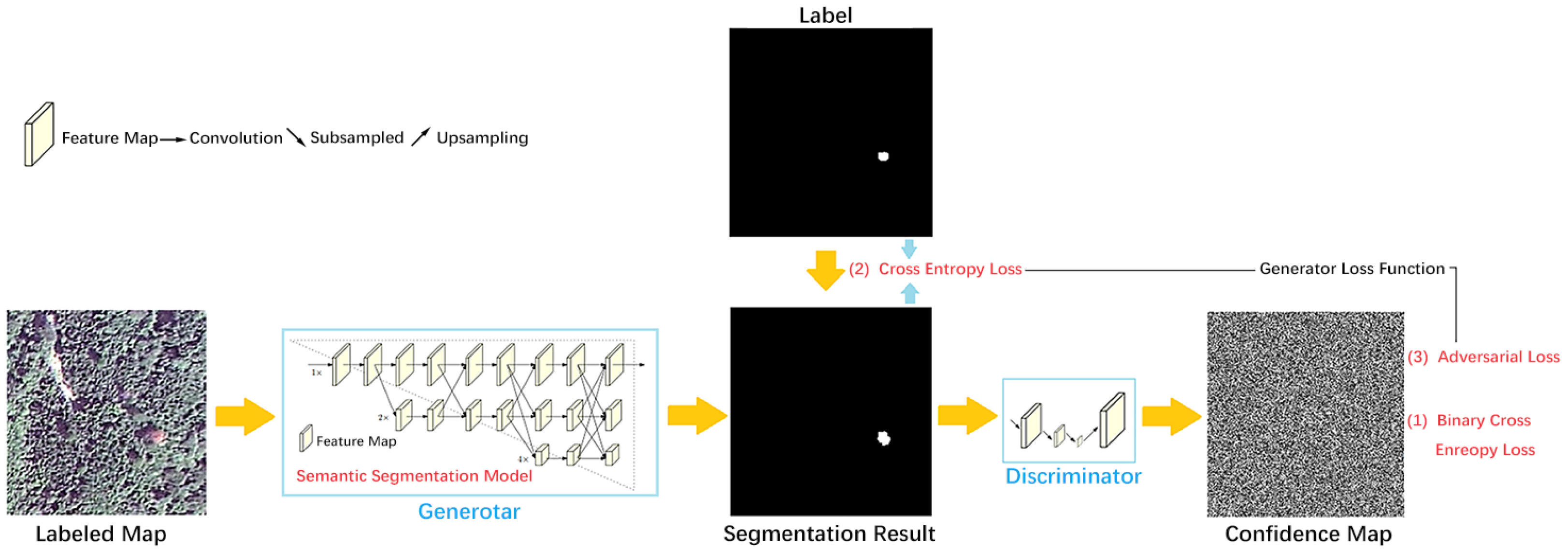
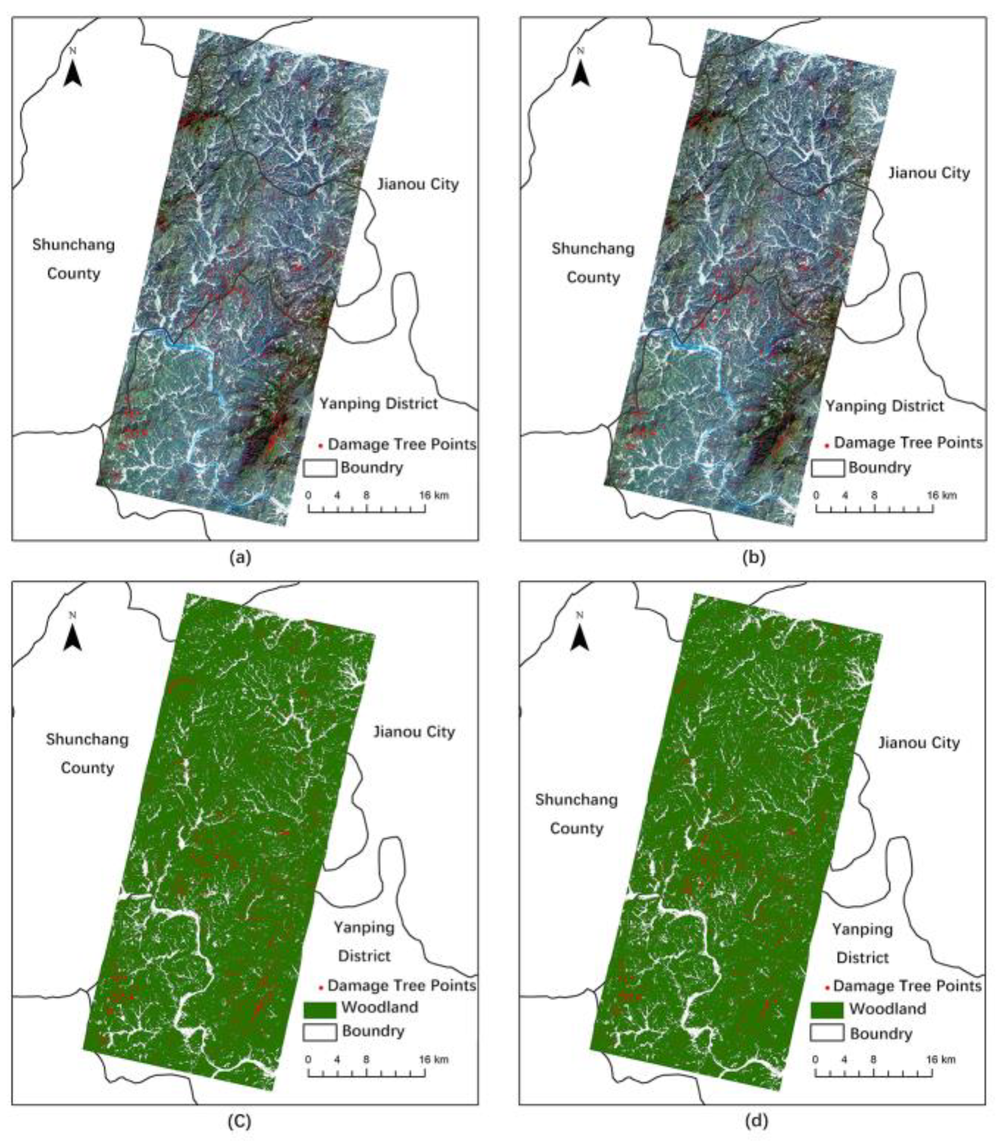
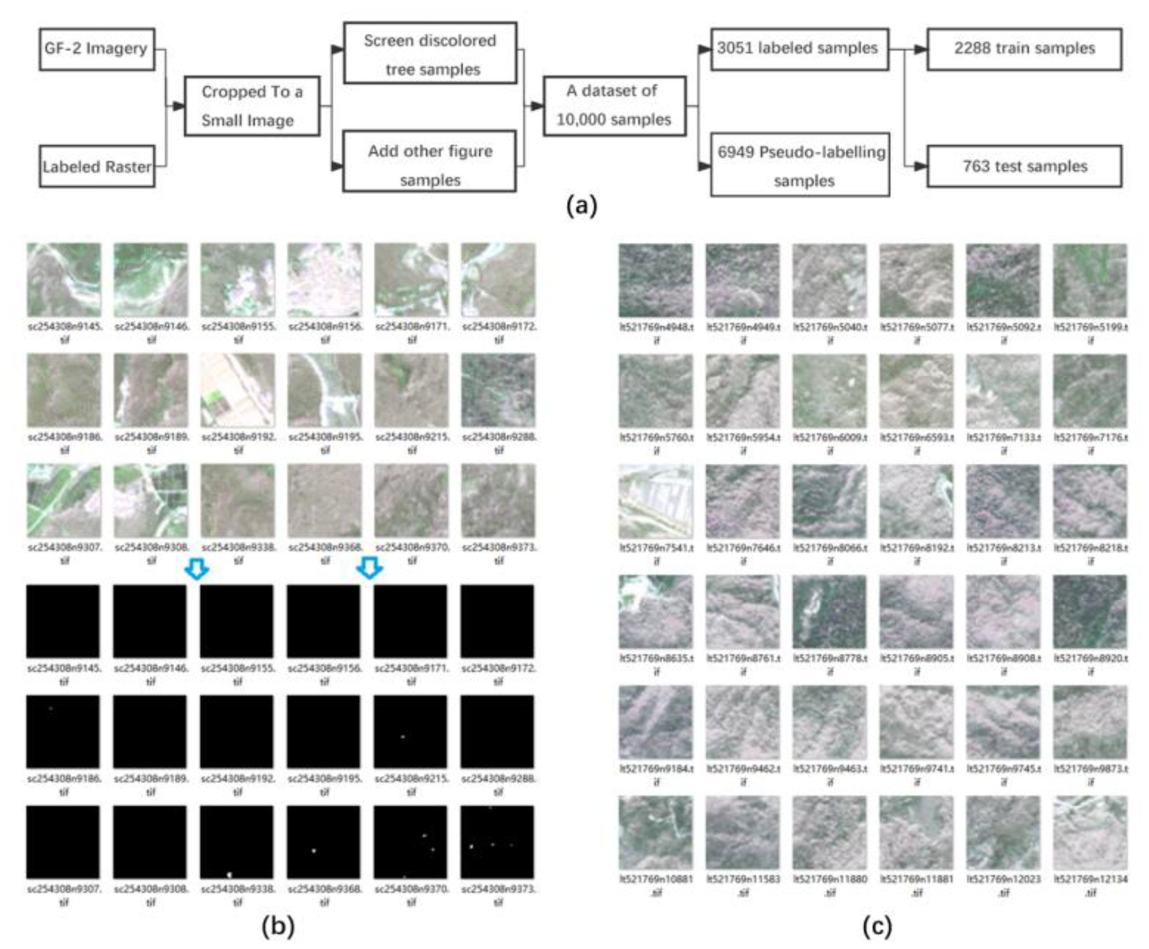
Pine wilt disease (PWD) is the most dangerous biohazard of pine species and poses a serious threat to forest resources. Coupling satellite remote sensing technology and deep learning technology for the accurate monitoring of PWD is an important tool for the efficient prevention and control of PWD. We used Gaofen-2 remote sensing images to construct a dataset of discolored standing tree samples of PWD and selected three semantic segmentation models—DeepLabv3+, HRNet, and DANet—for training and to compare their performance. To build a GAN-based semi-supervised semantic segmentation model for semi-supervised learning training, the best model was chosen as the generator of generative adversarial networks (GANs). The model was then optimized for structural adjustment and hyperparameter adjustment. Aimed at the characteristics of Gaofen-2 images and discolored standing trees with PWD, this paper adopts three strategies—swelling prediction, raster vectorization, and forest floor mask extraction—to optimize the image identification process and results and conducts an application demonstration study in Nanping city, Fujian Province. The results show that among the three semantic segmentation models, HRNet was the optimal conventional semantic segmentation model for identifying discolored standing trees of PWD based on Gaofen-2 images and that its MIoU value was 68.36%. Additionally, the GAN-based semi-supervised semantic segmentation model GAN_HRNet_Semi improved the MIoU value by 3.10%, and its recognition segmentation accuracy was better than the traditional semantic segmentation model. The recall rate of PWD discolored standing tree monitoring in the demonstration area reached 80.09%. The combination of semi-supervised semantic segmentation technology and high-resolution satellite remote sensing technology provides new technical methods for the accurate wide-scale monitoring, prevention, and control of PWD.
Keywords: pine wilt disease (PWD); semi-supervised; semantic segmentation; satellite remote sensing; accurate monitoring pine wilt disease (PWD); semi-supervised; semantic segmentation; satellite remote sensing; accurate monitoring