Article

Space Gene Quantification and Mapping of Traditional Settlements in Jiangnan Water Town: Evidence from Yubei Village in the Nanxi River Basin


by
Yuhao Huang
1,
Zibin Ye
1,
Qian Zhang
2,*,
Yile Chen
3,* and
Wenkun Wu
1
1
Institute of Urban and Sustainable Development, City University of Macau, Avenida do Dr. Rodrigo Rodrigues, Edf. Royal Center-3º Andar, Taipa, Macau 999078, China
2
School of General Education, Wenzhou Polytechnic, No. 737, Station Avenue, Lucheng District, Wenzhou 325035, China
3
Faculty of Humanities and Arts, Macau University of Science and Technology, Avenida Wai Long, Tapai, Macau 999078, China
*
Authors to whom correspondence should be addressed.
Buildings 2025, 15(14), 2571; https://doi.org/10.3390/buildings15142571
Submission received: 16 June 2025 / Revised: 14 July 2025 / Accepted: 19 July 2025 / Published: 21 July 2025
(This article belongs to the Section Architectural Design, Urban Science, and Real Estate)

Abstract

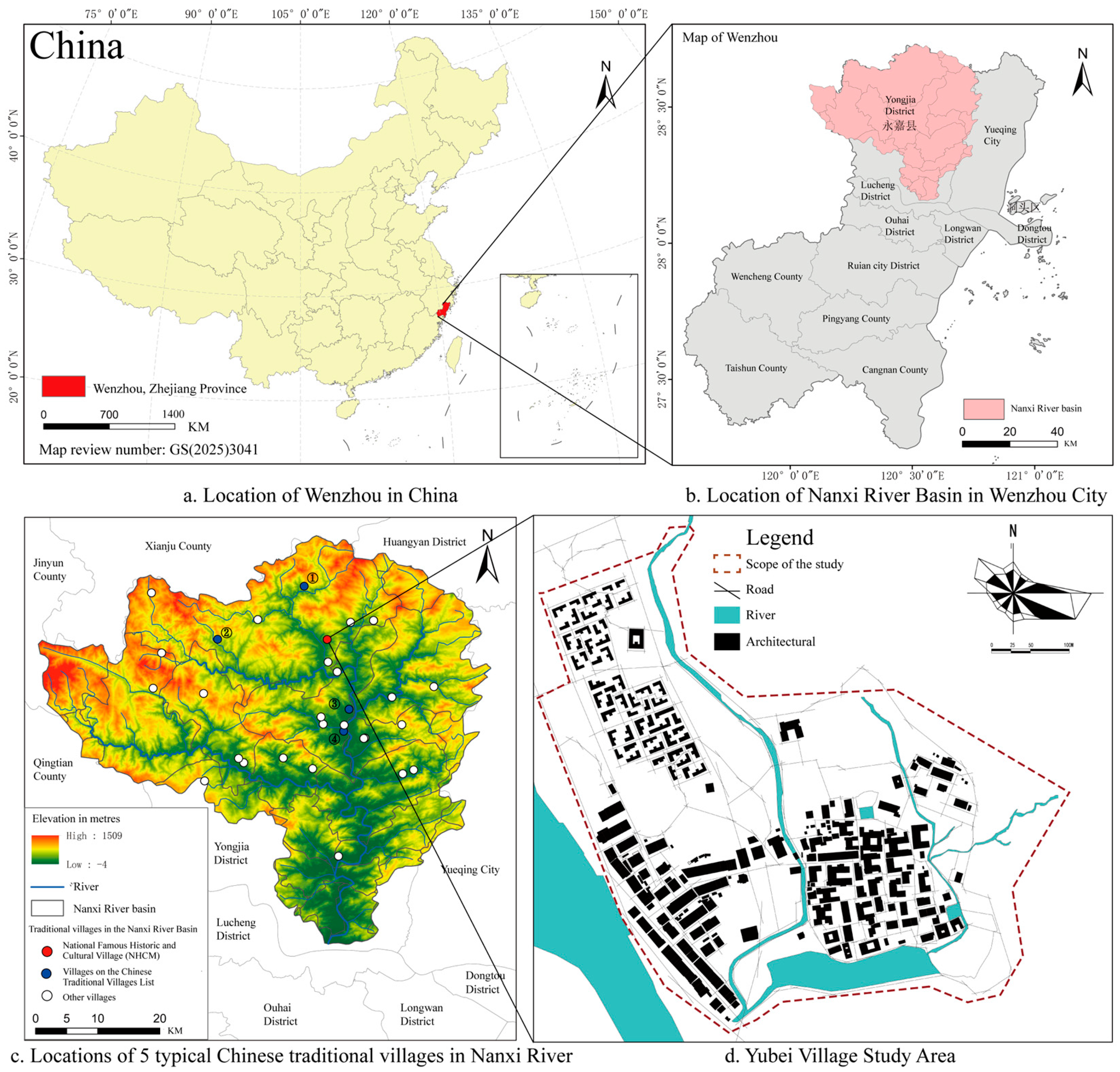
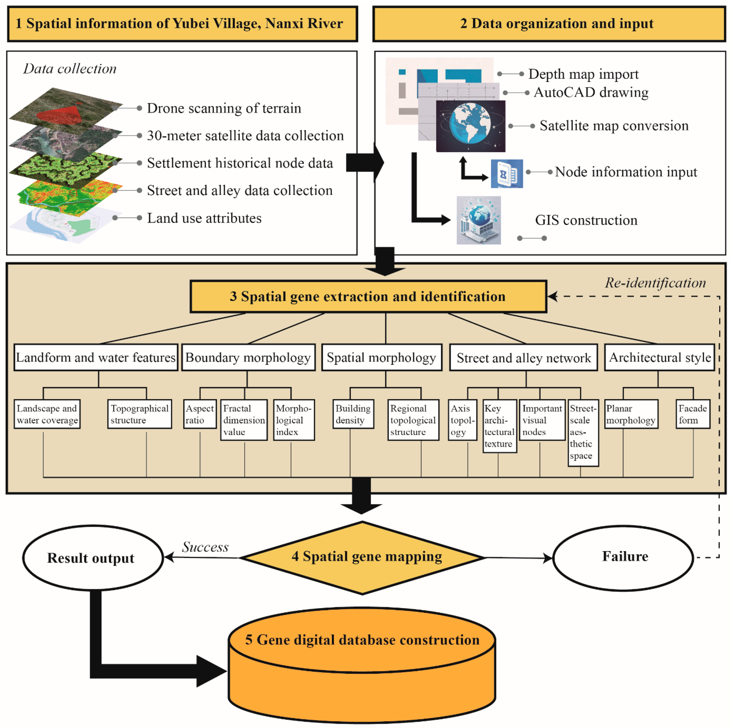
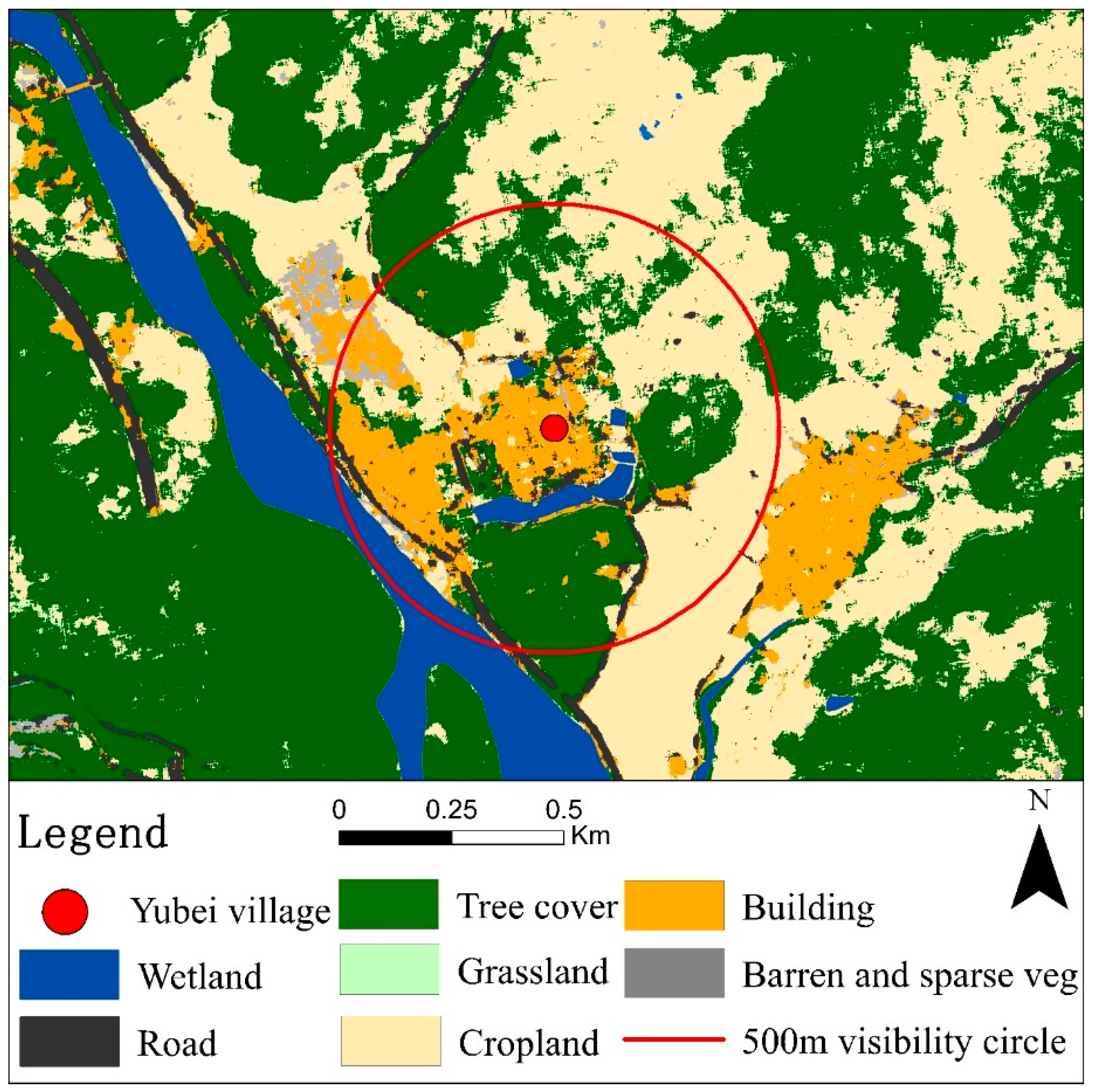
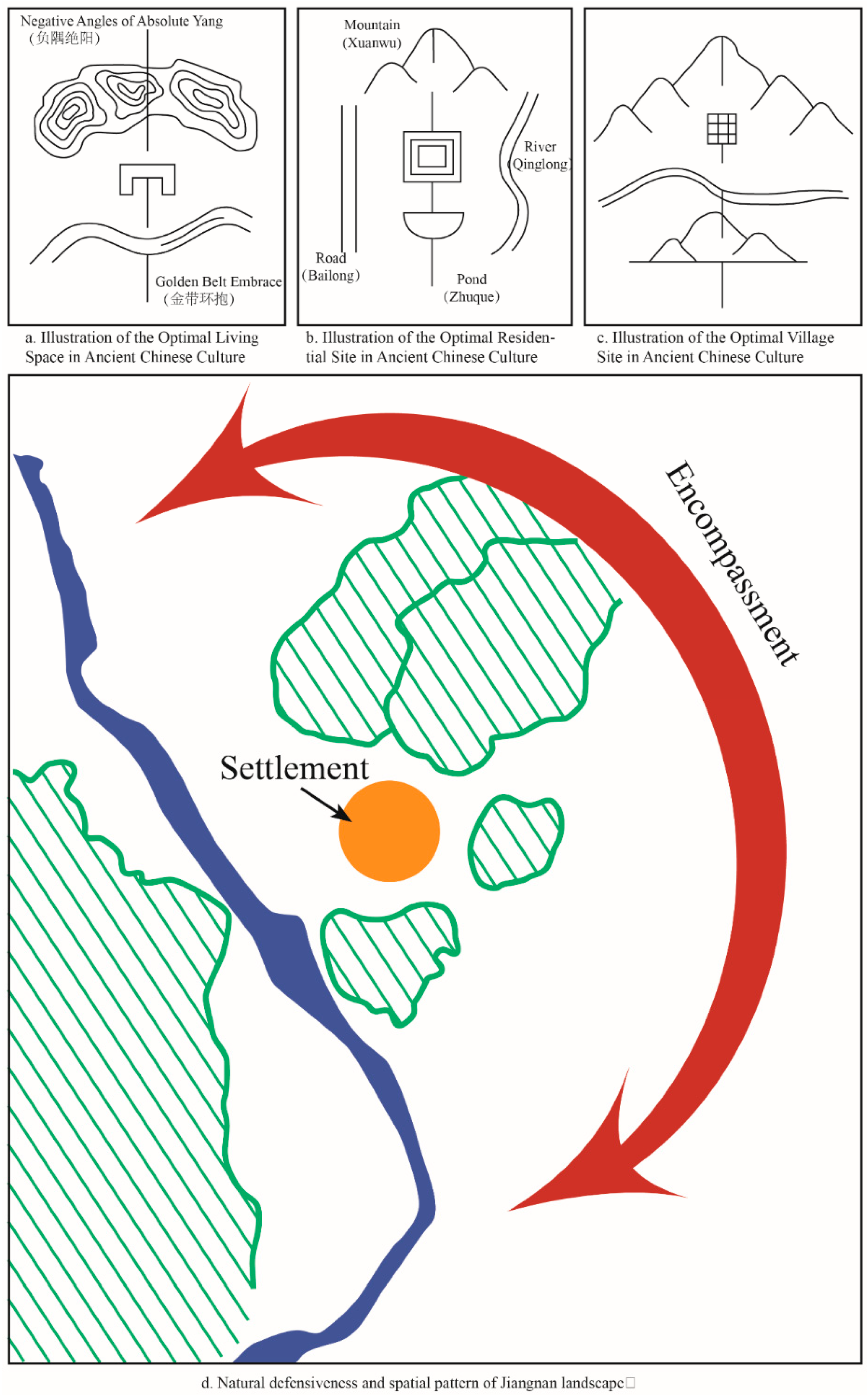
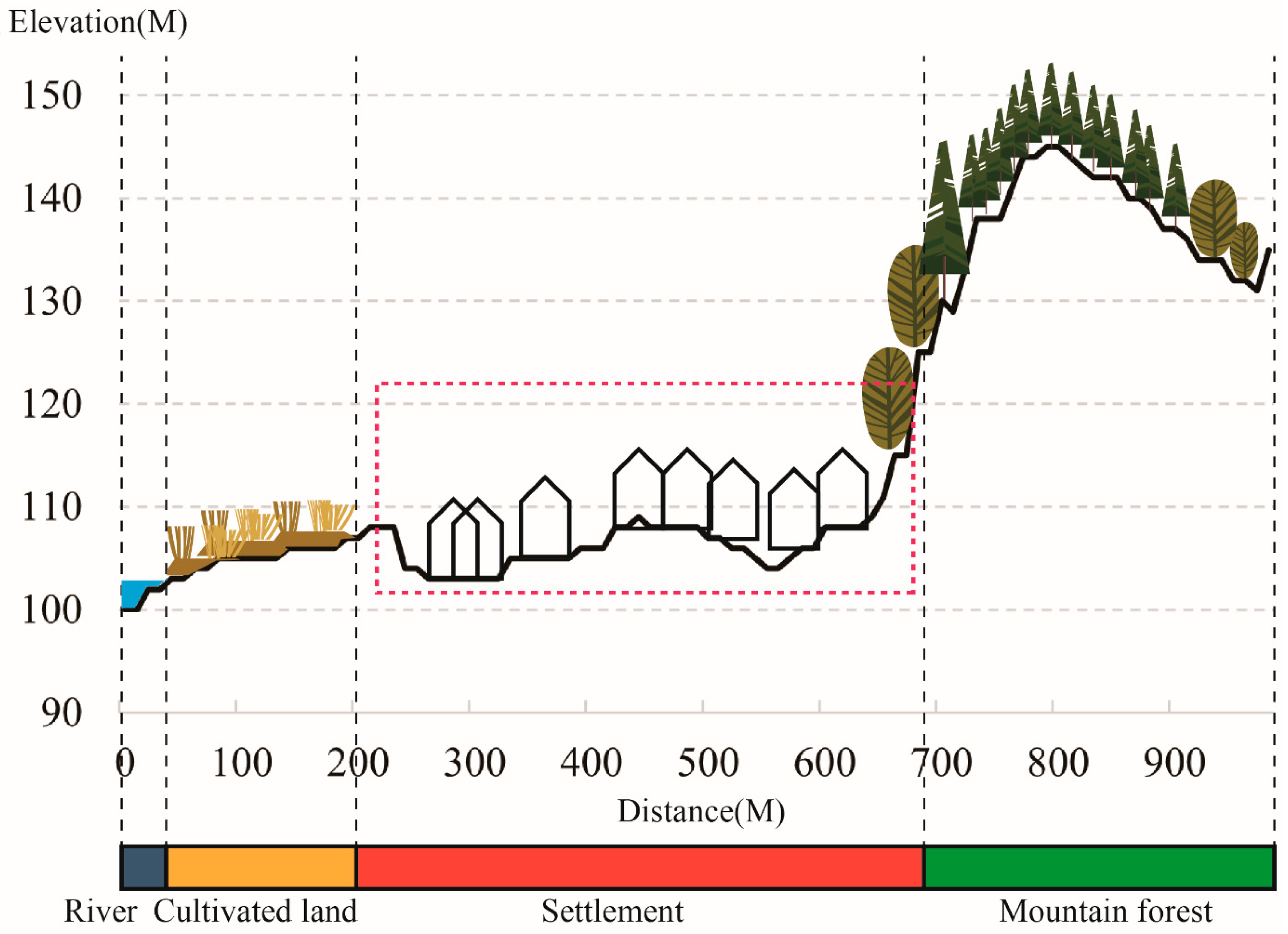
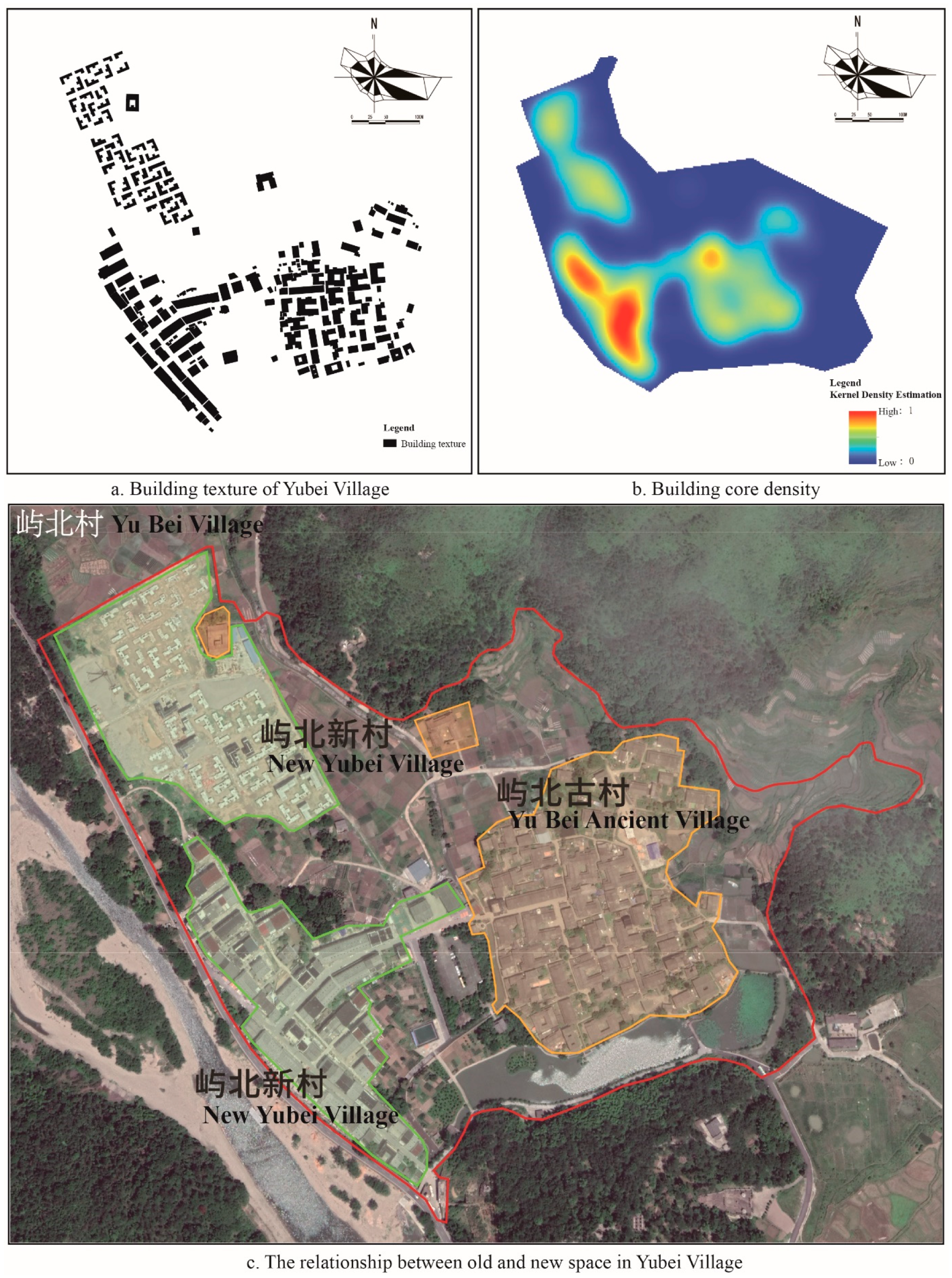
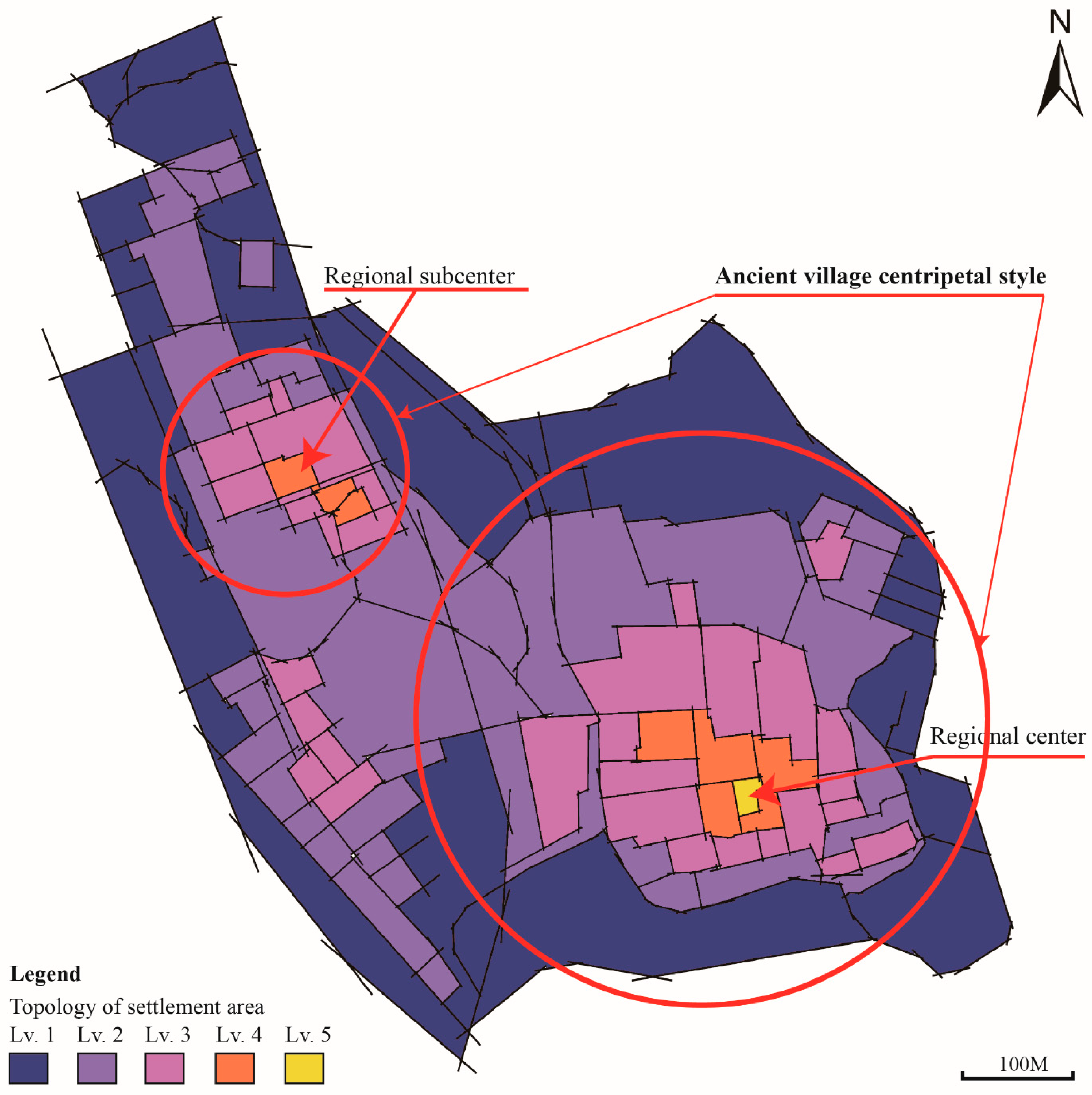
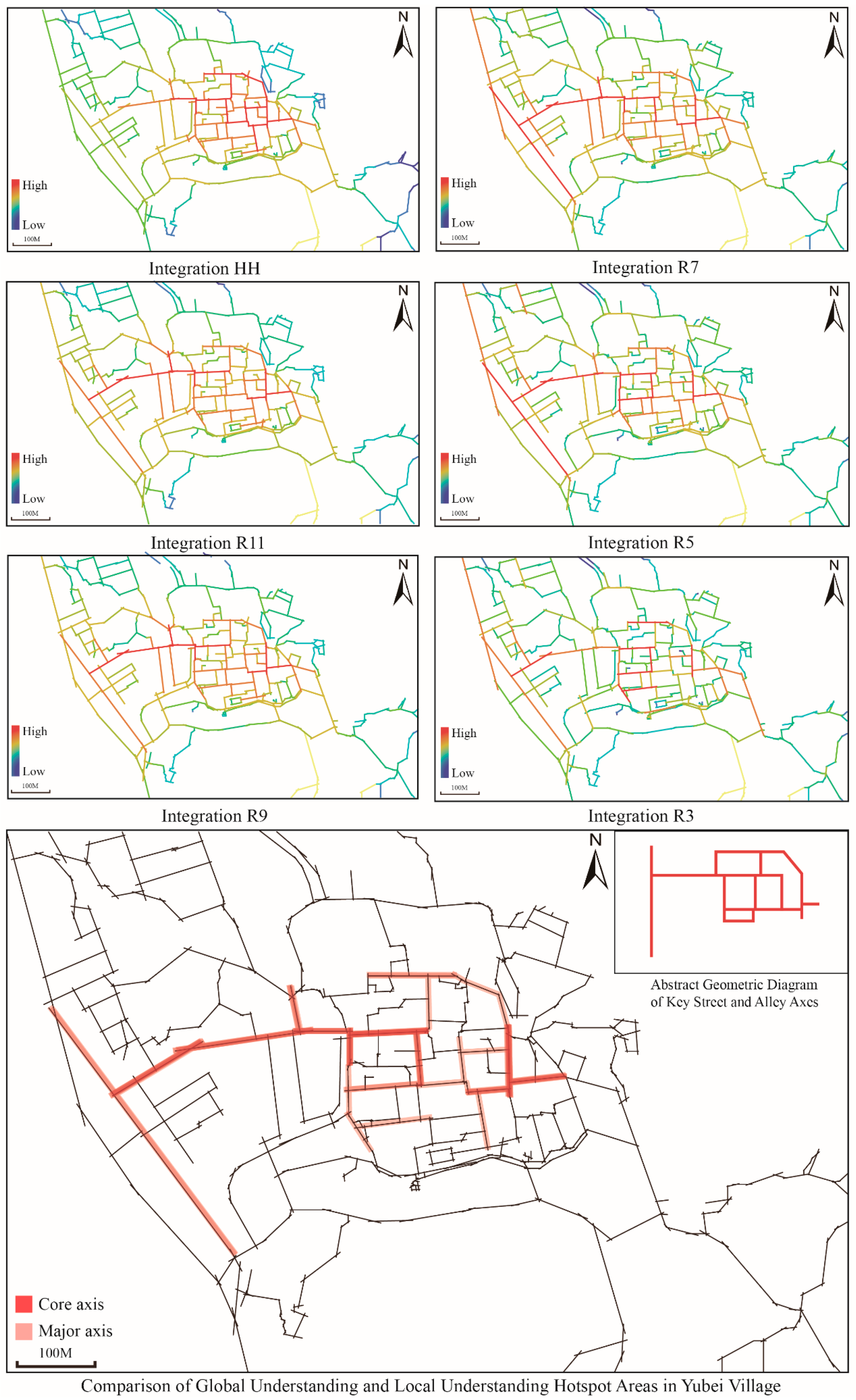
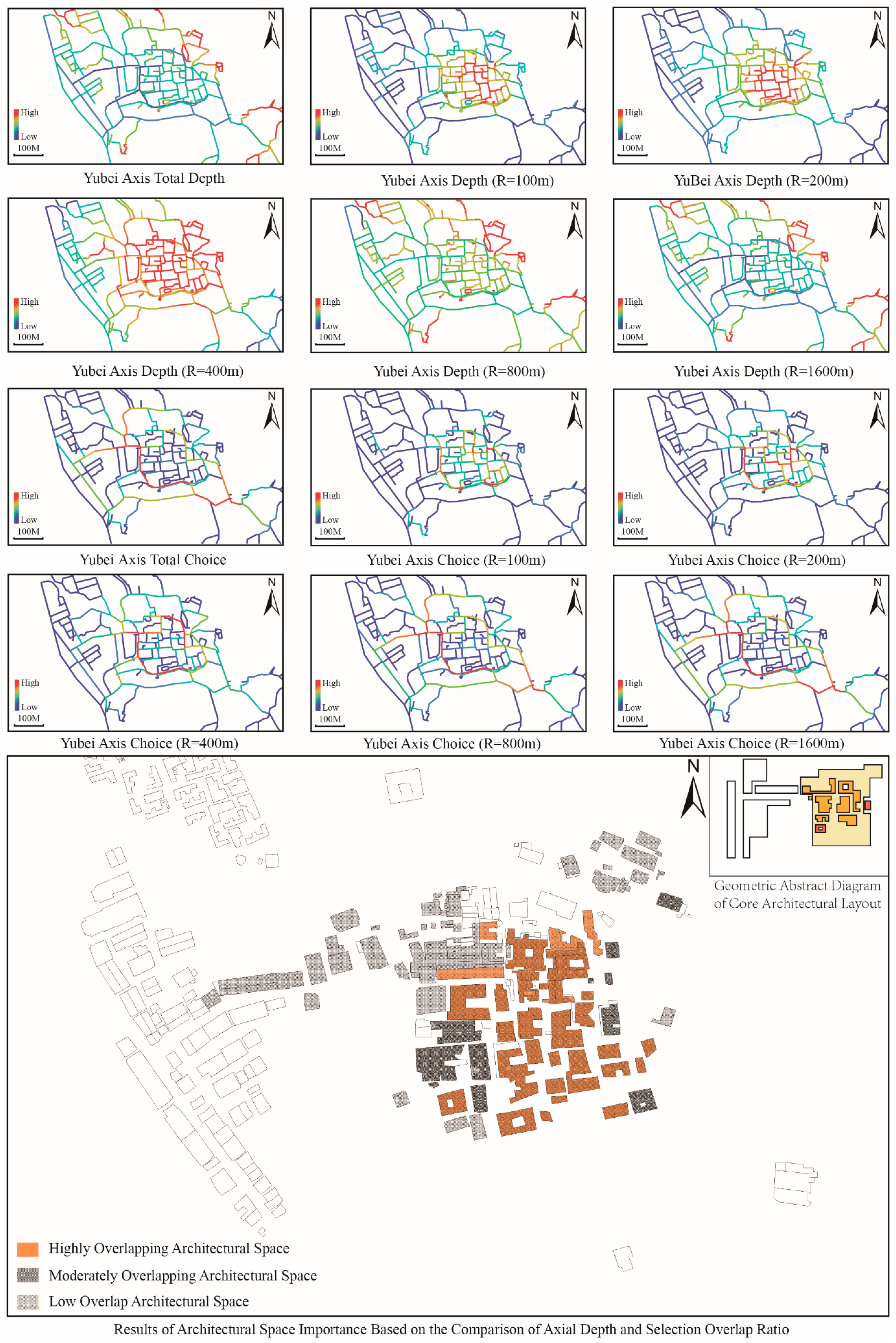
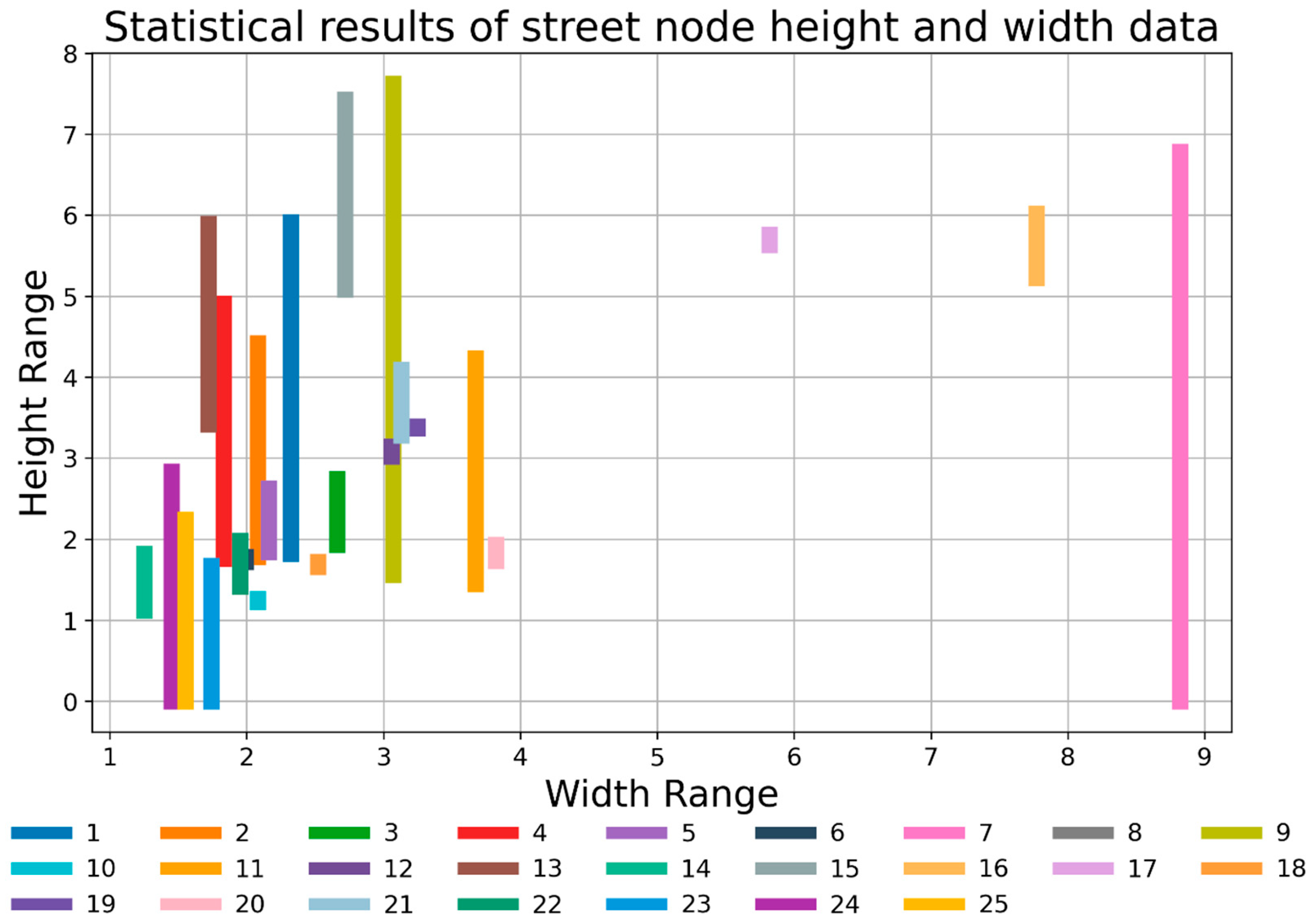
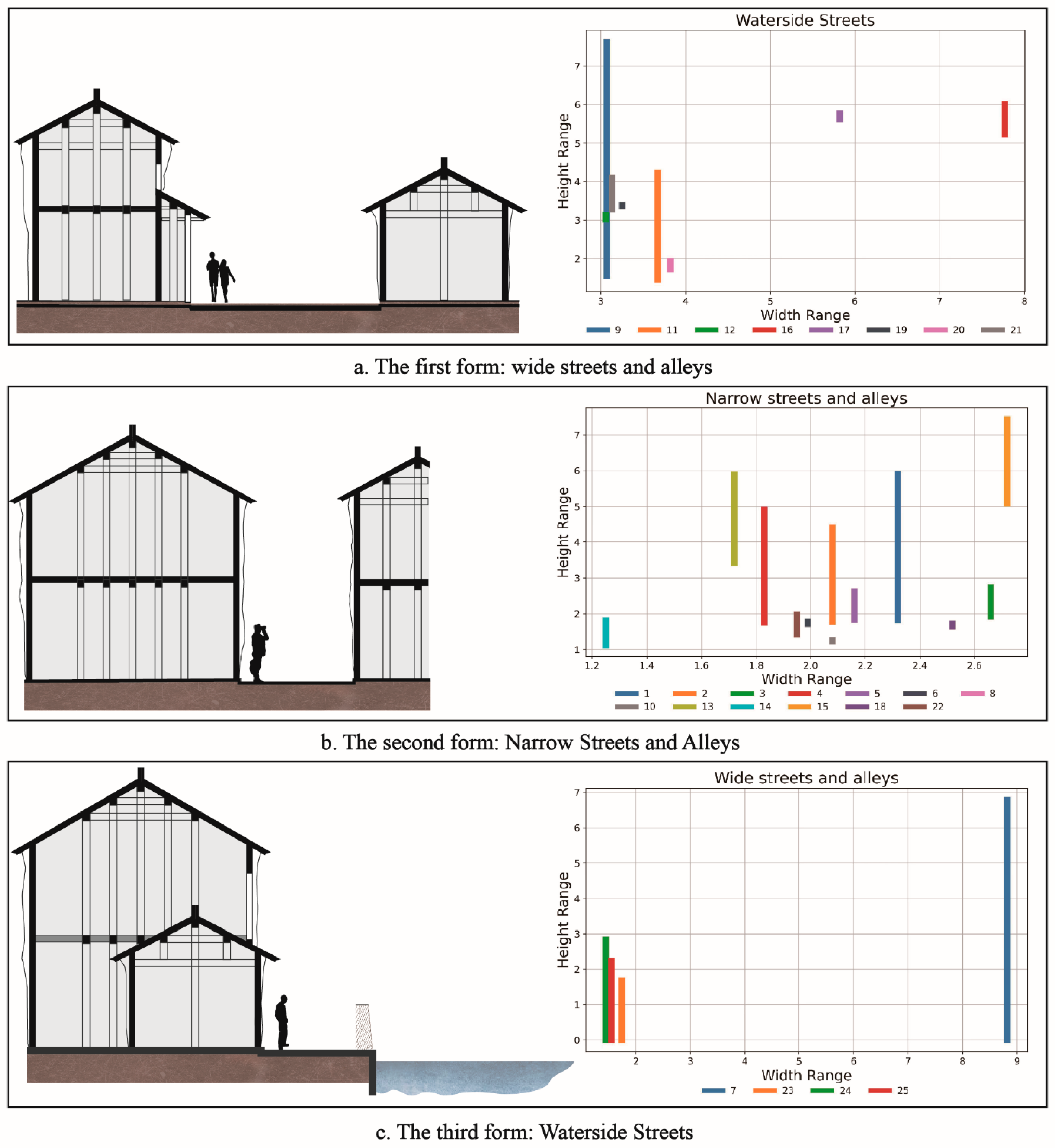
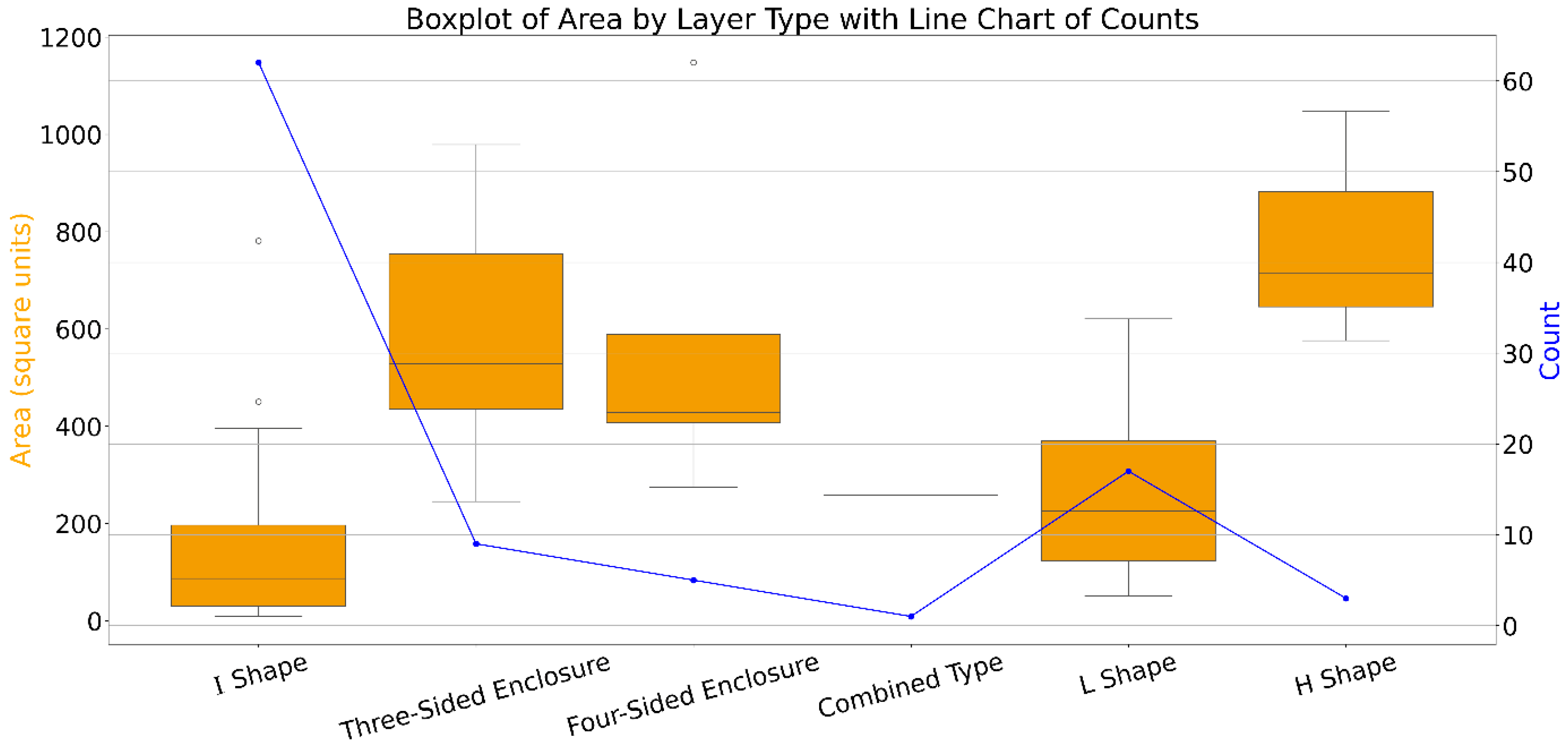
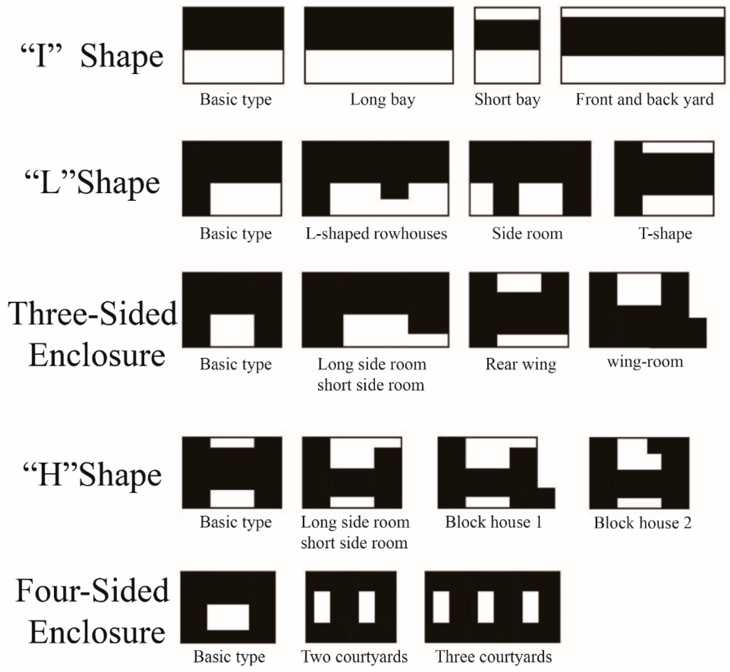
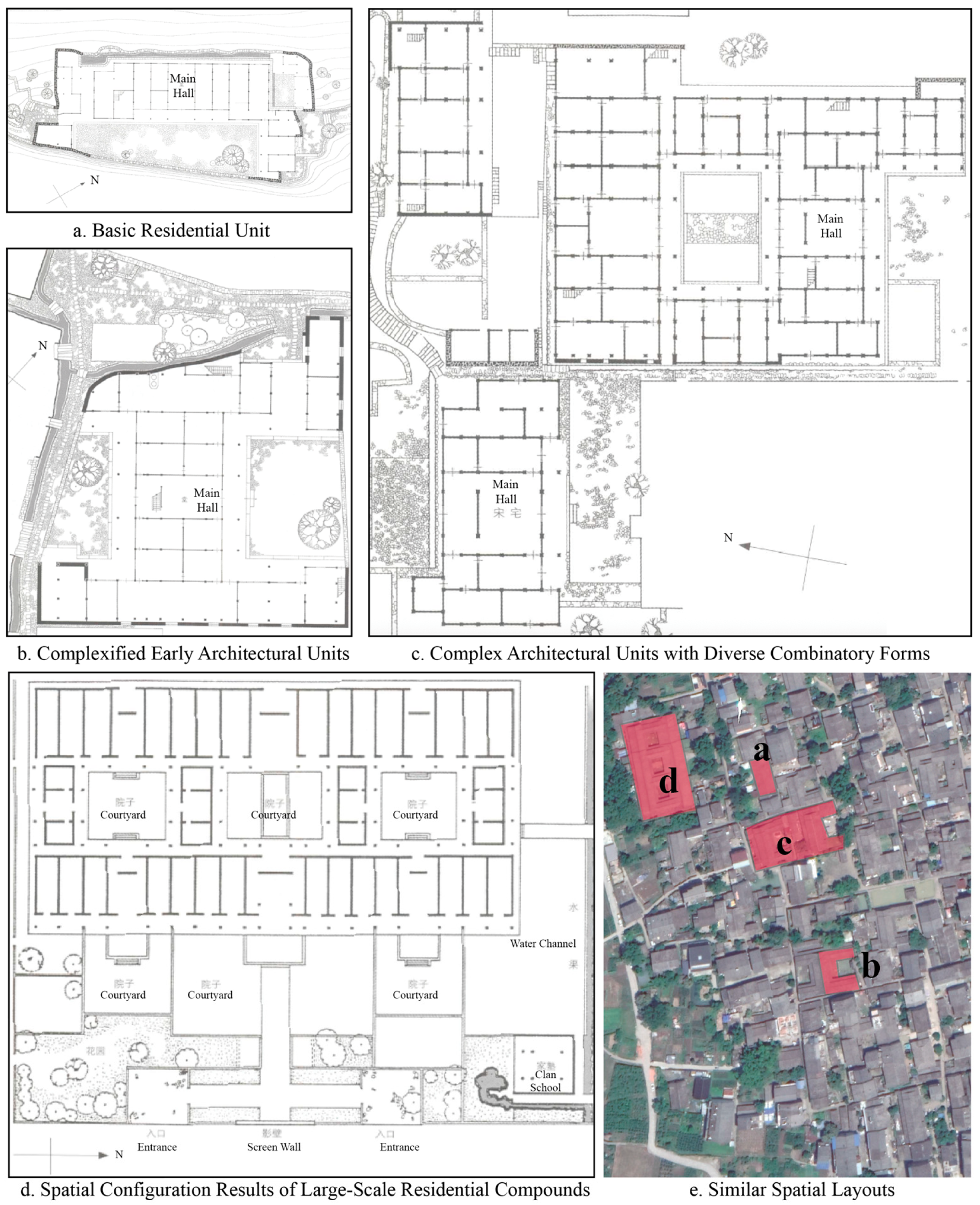
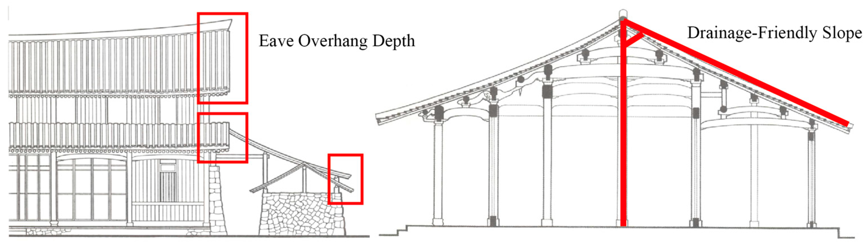
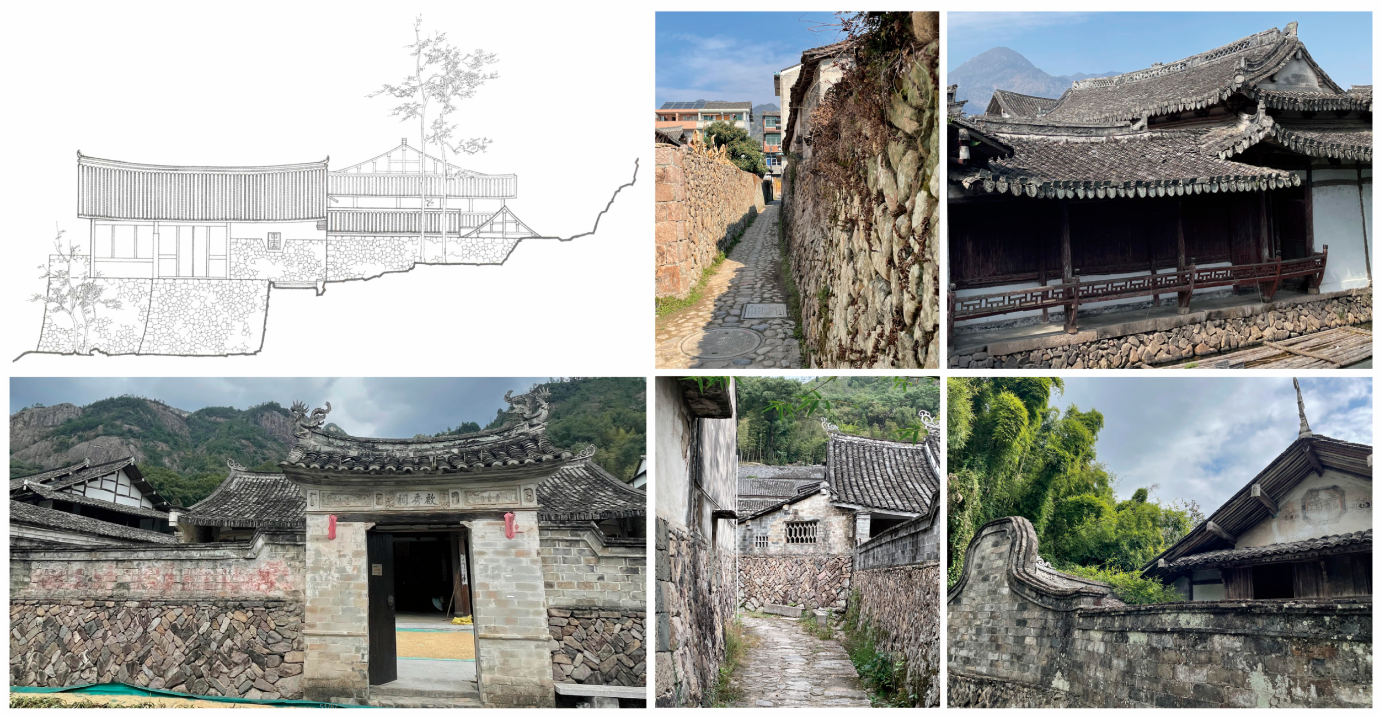
The spatial genes of rural settlements show a lot of different traditional settlement traits, which makes them a great starting point for studying rural spatial morphology. However, qualitative and macro-regional statistical indicators are usually used to find and extract rural settlement spatial genes. Taking Yubei Village in the Nanxi River Basin as an example, this study combined remote sensing images, real-time drone mapping, GIS (geographic information system), and space syntax, extracted 12 key indicators from five dimensions (landform and water features (environment), boundary morphology, spatial structure, street scale, and building scale), and quantitatively “decoded” the spatial genes of the settlement. The results showed that (1) the settlement is a “three mountains and one water” pattern, with cultivated land accounting for 37.4% and forest land accounting for 34.3% of the area within the 500 m buffer zone, while the landscape spatial diversity index (LSDI) is 0.708. (2) The boundary morphology is compact and agglomerated, and locally complex but overall orderly, with an aspect ratio of 1.04, a comprehensive morphological index of 1.53, and a comprehensive fractal dimension of 1.31. (3) The settlement is a “clan core–radial lane” network: the global integration degree of the axis to the holy hall is the highest (0.707), and the local integration degree R3 peak of the six-room ancestral hall reaches 2.255. Most lane widths are concentrated between 1.2 and 2.8 m, and the eaves are mostly higher than 4 m, forming a typical “narrow lanes and high houses” water town streetscape. (4) The architectural style is a combination of black bricks and gray tiles, gable roofs and horsehead walls, and “I”-shaped planes (63.95%). This study ultimately constructed a settlement space gene map and digital library, providing a replicable quantitative process for the diagnosis of Jiangnan water town settlements and heritage protection planning.
Keywords: Jiangnan water town; traditional settlement; spatial gene; map construction; Nanxi River Basin Jiangnan water town; traditional settlement; spatial gene; map construction; Nanxi River Basin