Article

Spatiotemporal Patterns of Ground Deformation in the Beijing Plain Under the South-to-North Water Diversion Project: Integrating InSAR and ICA

1
College of Resources Environment and Tourism, Capital Normal University, Beijing 100048, China
2
Key Laboratory of Mechanism, Prevention and Mitigation of Land Subsidence, Capital Normal University, Beijing 100048, China
3
Beijing Laboratory of Water Resources Security, Capital Normal University, Beijing 100048, China
4
Cangzhou Groundwater and Land Subsidence National Observation and Research Station, Cangzhou 061000, China
5
School of Electrical Engineering and Automation, Nantong University, Nantong 226019, China
6
Technical Centre for Soil, Agriculture and Rural Ecology and Environment, Ministry of Ecology and Environment, Beijing 100012, China
*
Author to whom correspondence should be addressed.
These authors contributed equally to this work.
Remote Sens. 2026, 18(7), 1077; https://doi.org/10.3390/rs18071077
Submission received: 28 February 2026 / Revised: 30 March 2026 / Accepted: 31 March 2026 / Published: 3 April 2026
(This article belongs to the Special Issue Role of SAR/InSAR Techniques in Investigating Ground Deformation)

Abstract

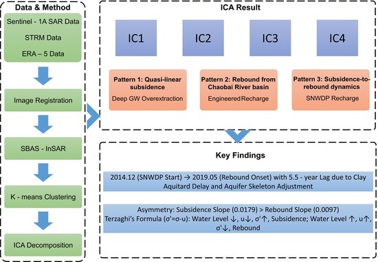
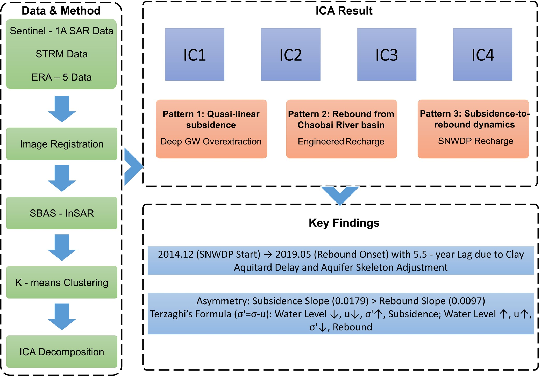
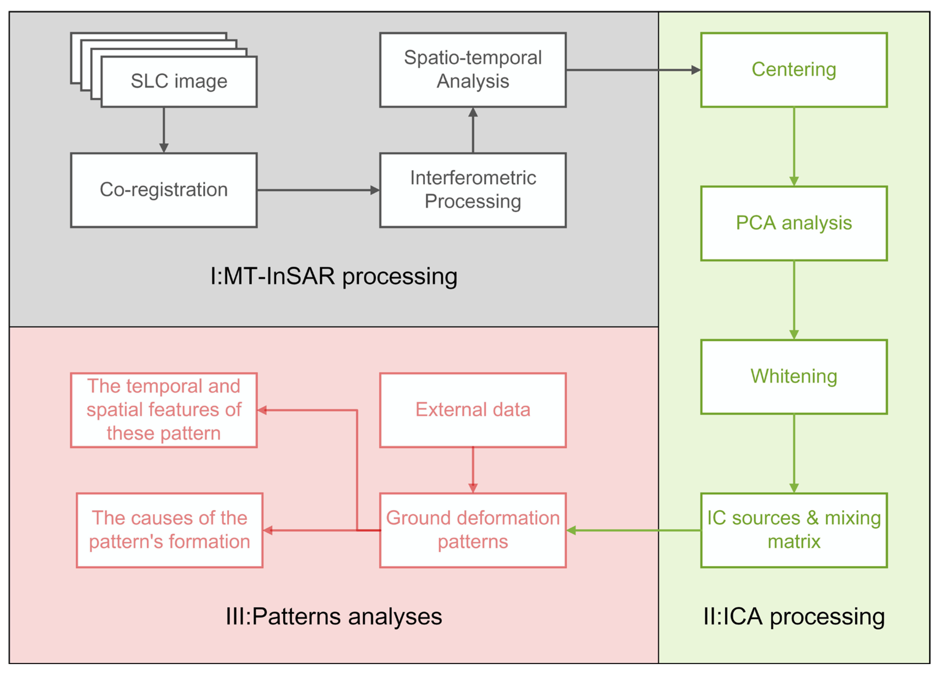
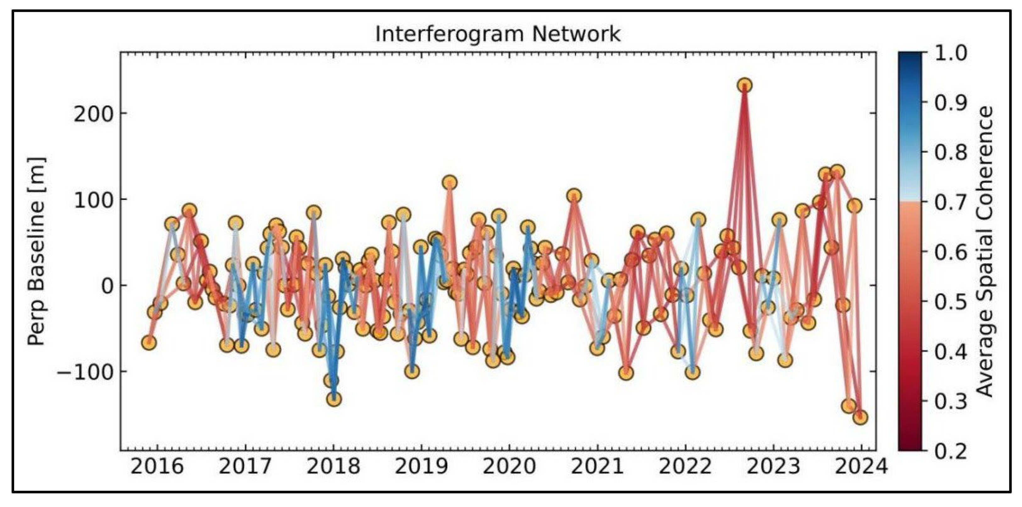
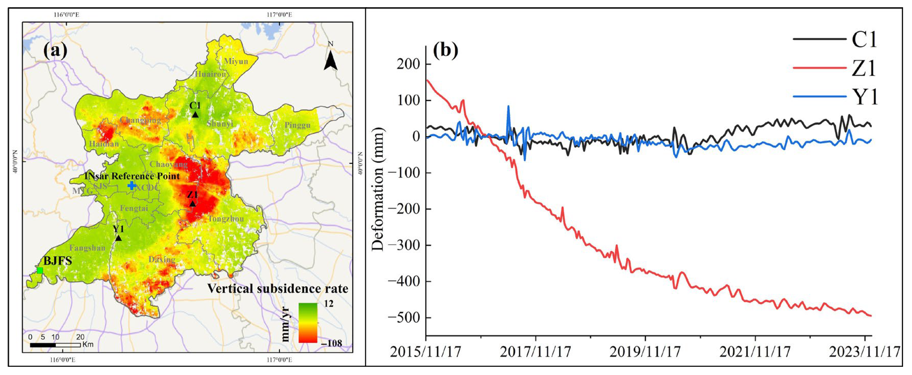
Following adjustments in regional water resource management policies and changes in hydrogeological conditions, significant shifts have occurred in Beijing’s water consumption patterns, which have effectively mitigated land subsidence and triggered a trend of ground rebound. This study systematically analyzed the spatiotemporal characteristics and transition mechanisms of ground deformation (subsidence-rebound) driven by water consumption changes, integrating InSAR, ICA (independent component analysis), and regional hydrogeological data. InSAR time-series analysis derived 2015–2023 Beijing Plain deformation data, with ICA identifying key drivers, supported by hydrogeological interpretation. Three primary patterns emerged: (1) quasi-linear subsidence from persistent deep groundwater overextraction; (2) rebound from Chaobai River basin engineered recharge; (3) “subsidence-to-rebound” dynamics due to reduced shallow groundwater extraction and enhanced precipitation infiltration. The results indicate that a regional rebound emerged 5.5 years after the initiation of the South-to-North Water Diversion Project (SNWDP), which quantifies, for the first time, the direct temporal lag between the initiation of water diversion and the geomechanical deformation response. ICA further revealed that deformation asymmetry (subsidence trend slope > rebound trend slope) correlates with aquifer lithology (clay vs. sand-gravel layers). The results offer a scientific framework for urban groundwater management and subsidence mitigation, not only in Beijing but also in analogous regions globally, highlighting a paradigm shift in ground deformation dynamics under integrated water governance.
Keywords: ground deformation; groundwater overexploitation; InSAR; south-to-north water diversion project (SNWDP); independent component analysis (ICA) ground deformation; groundwater overexploitation; InSAR; south-to-north water diversion project (SNWDP); independent component analysis (ICA)
Graphical Abstract