Article

LiDAR-Derived Relief Typology of Loess Patches (East Poland)

Institute of Earth and Environmental Sciences, Maria Curie-Skłodowska University in Lublin, 20-031 Lublin, Poland
*
Author to whom correspondence should be addressed.
Remote Sens. 2023, 15(7), 1875; https://doi.org/10.3390/rs15071875
Submission received: 3 February 2023 / Revised: 20 March 2023 / Accepted: 29 March 2023 / Published: 31 March 2023
(This article belongs to the Special Issue Recent Advances in GIS Techniques for Remote Sensing)

Abstract

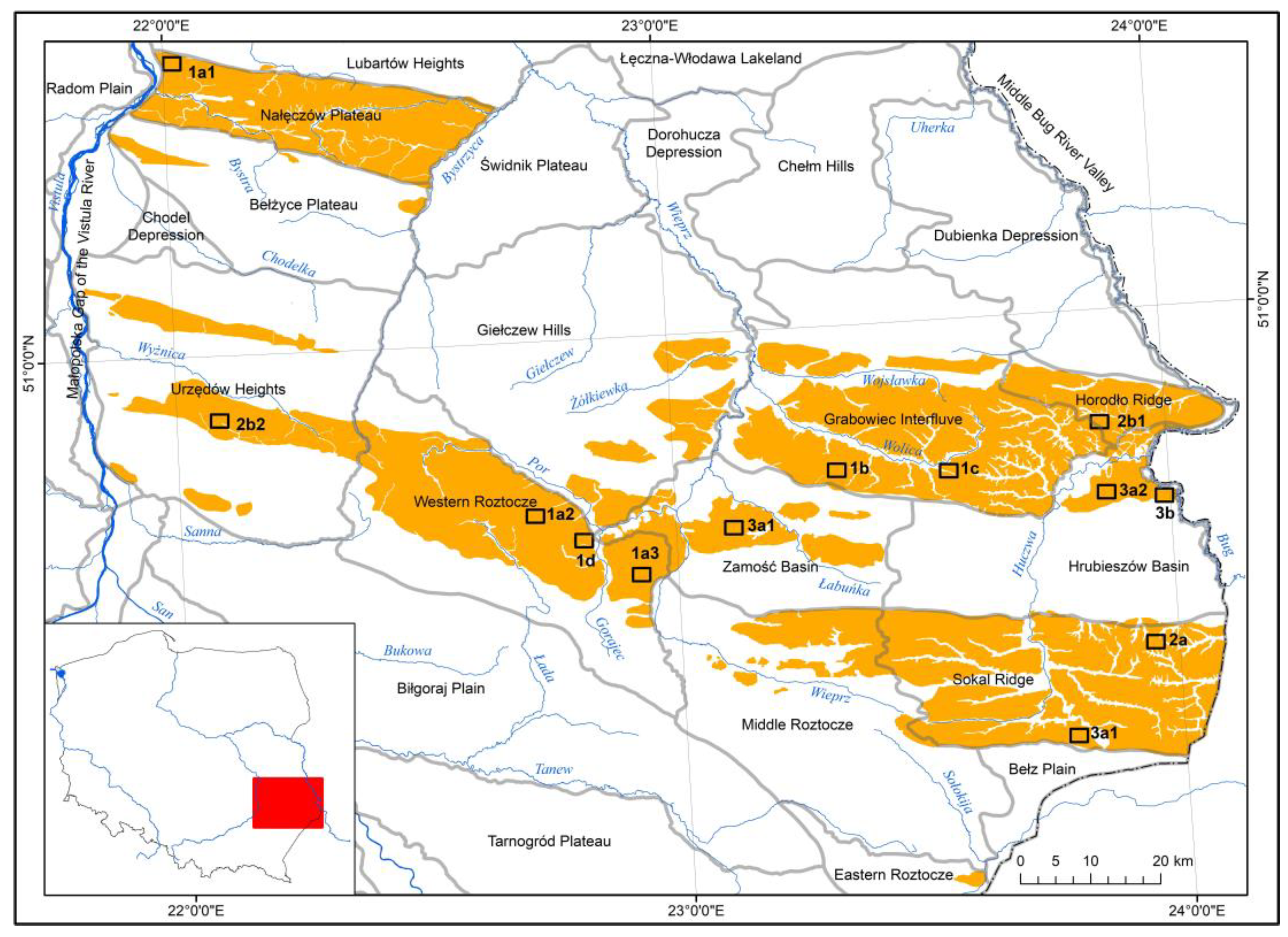
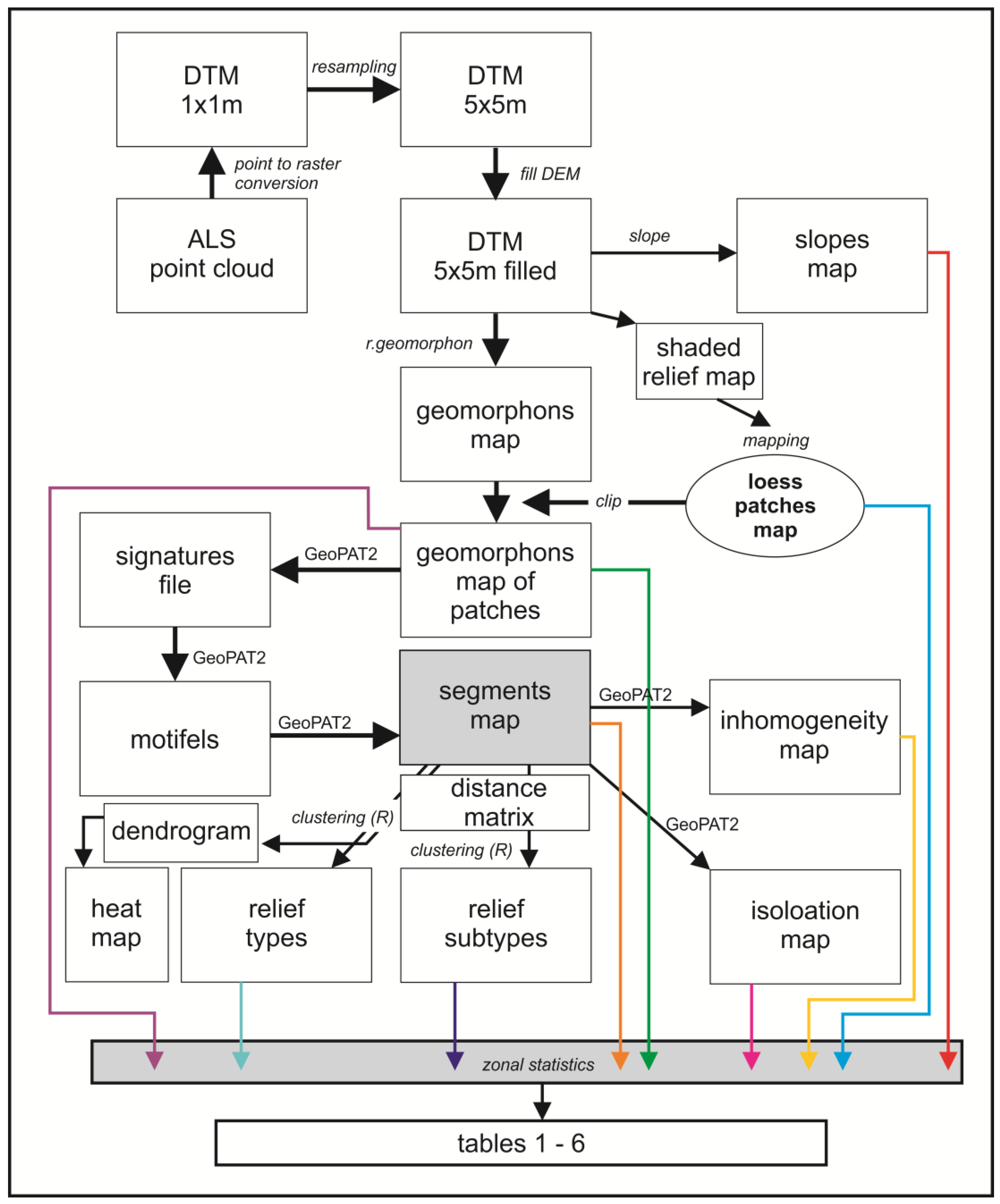
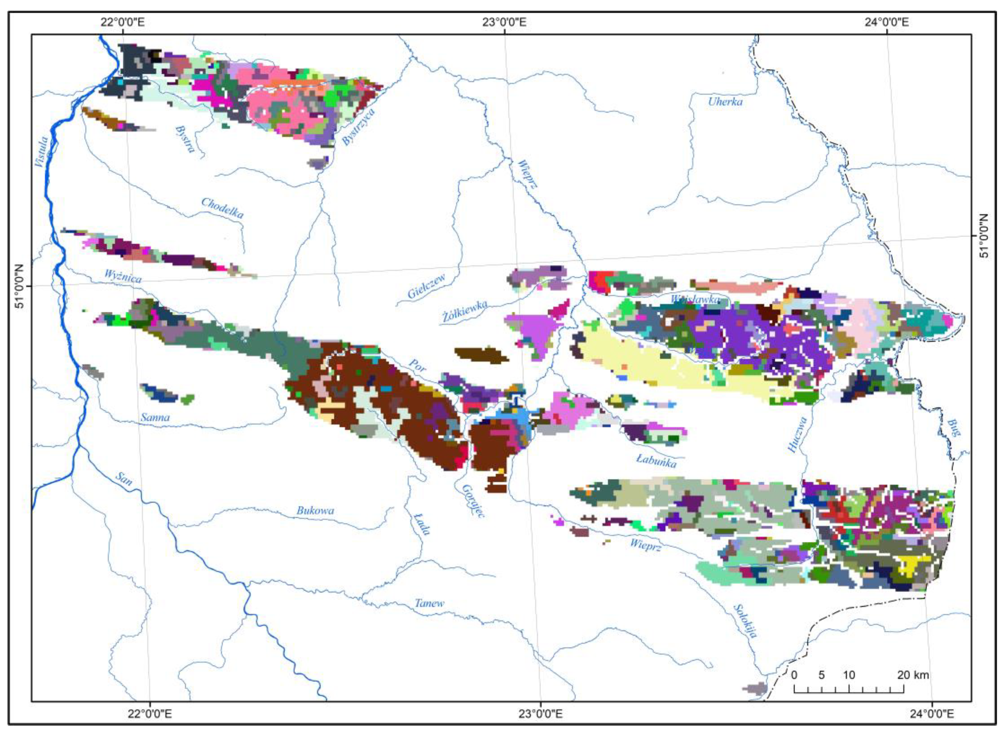
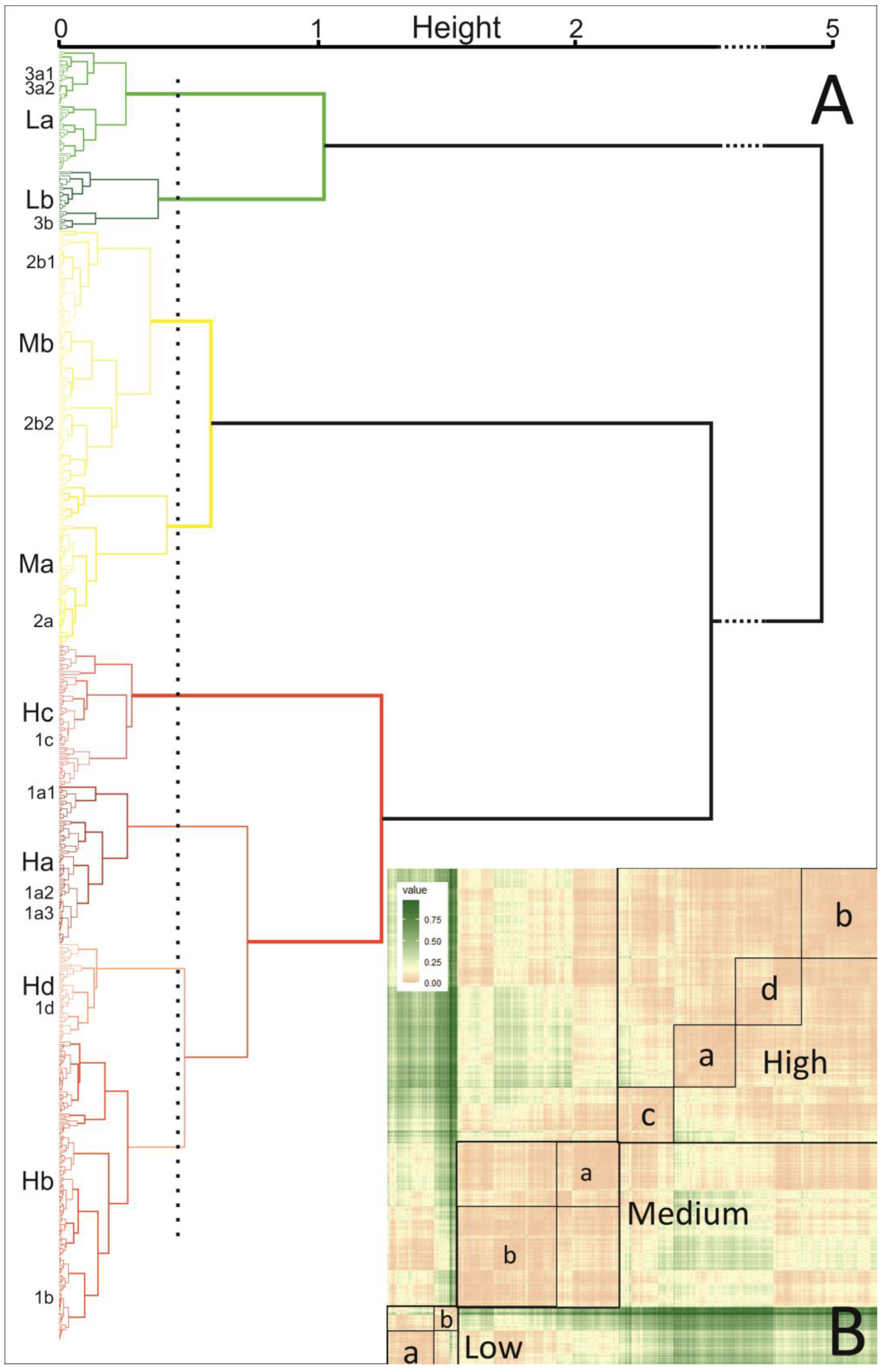
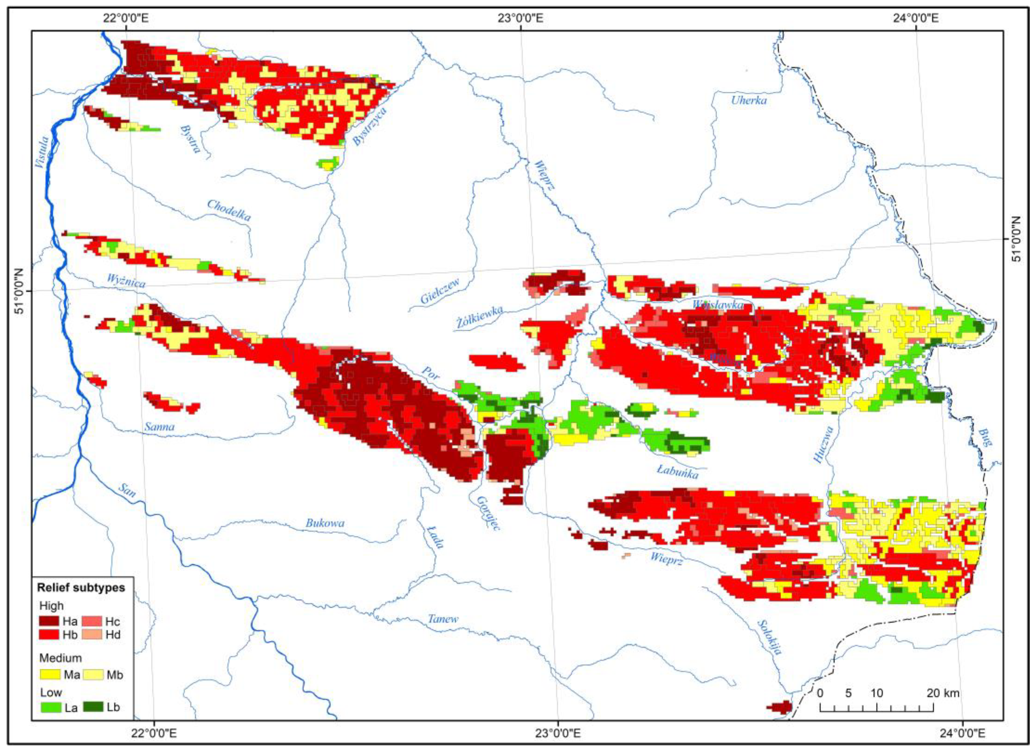
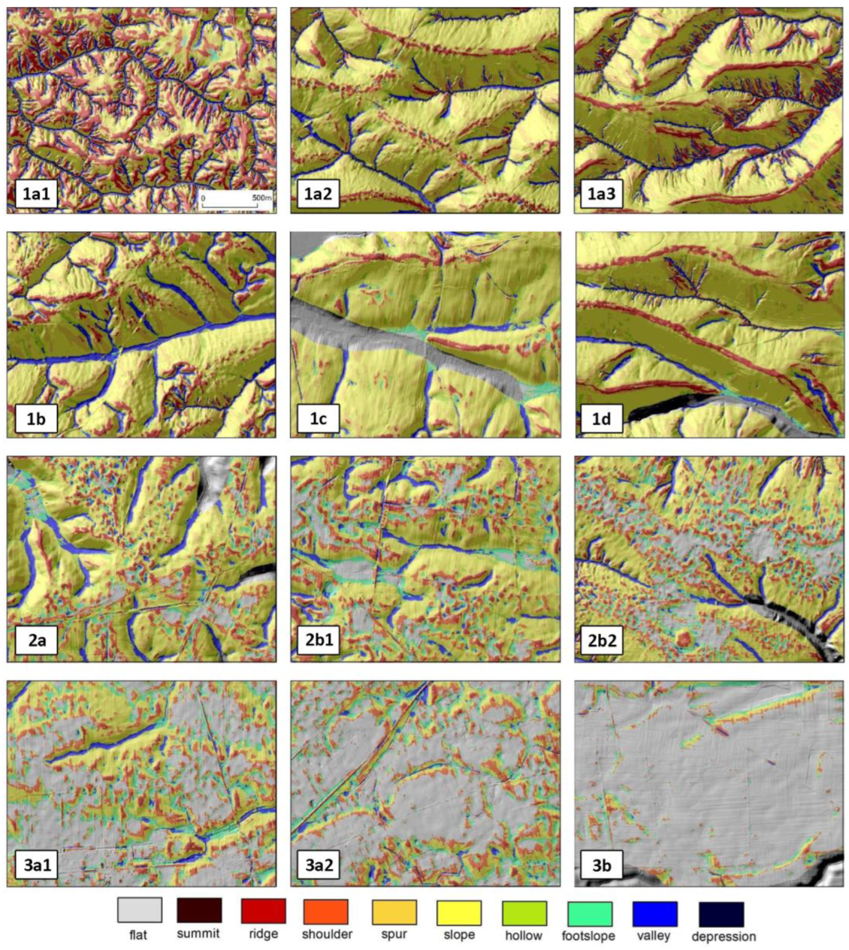
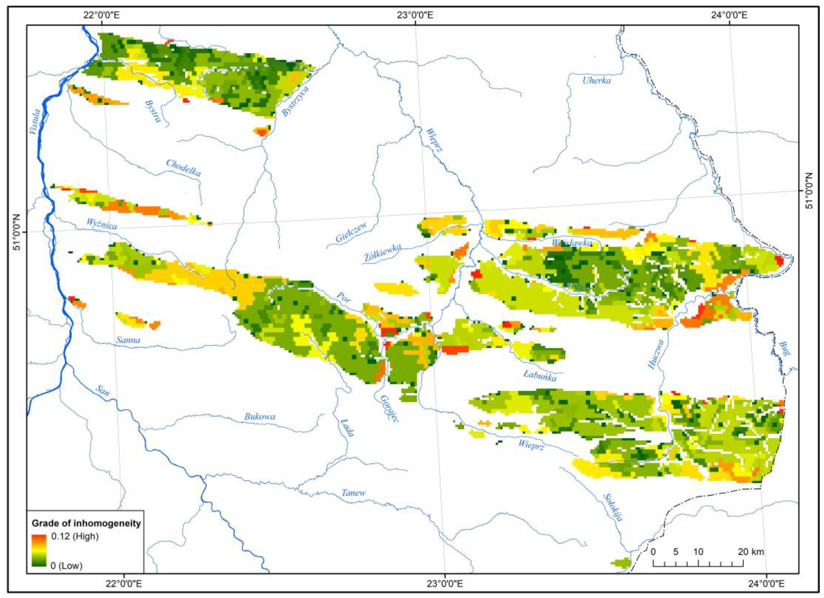
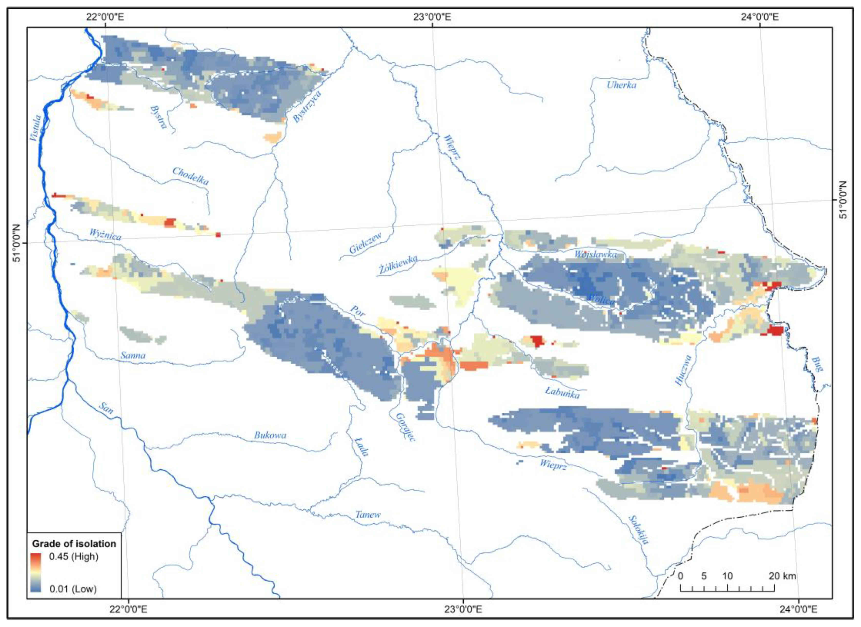
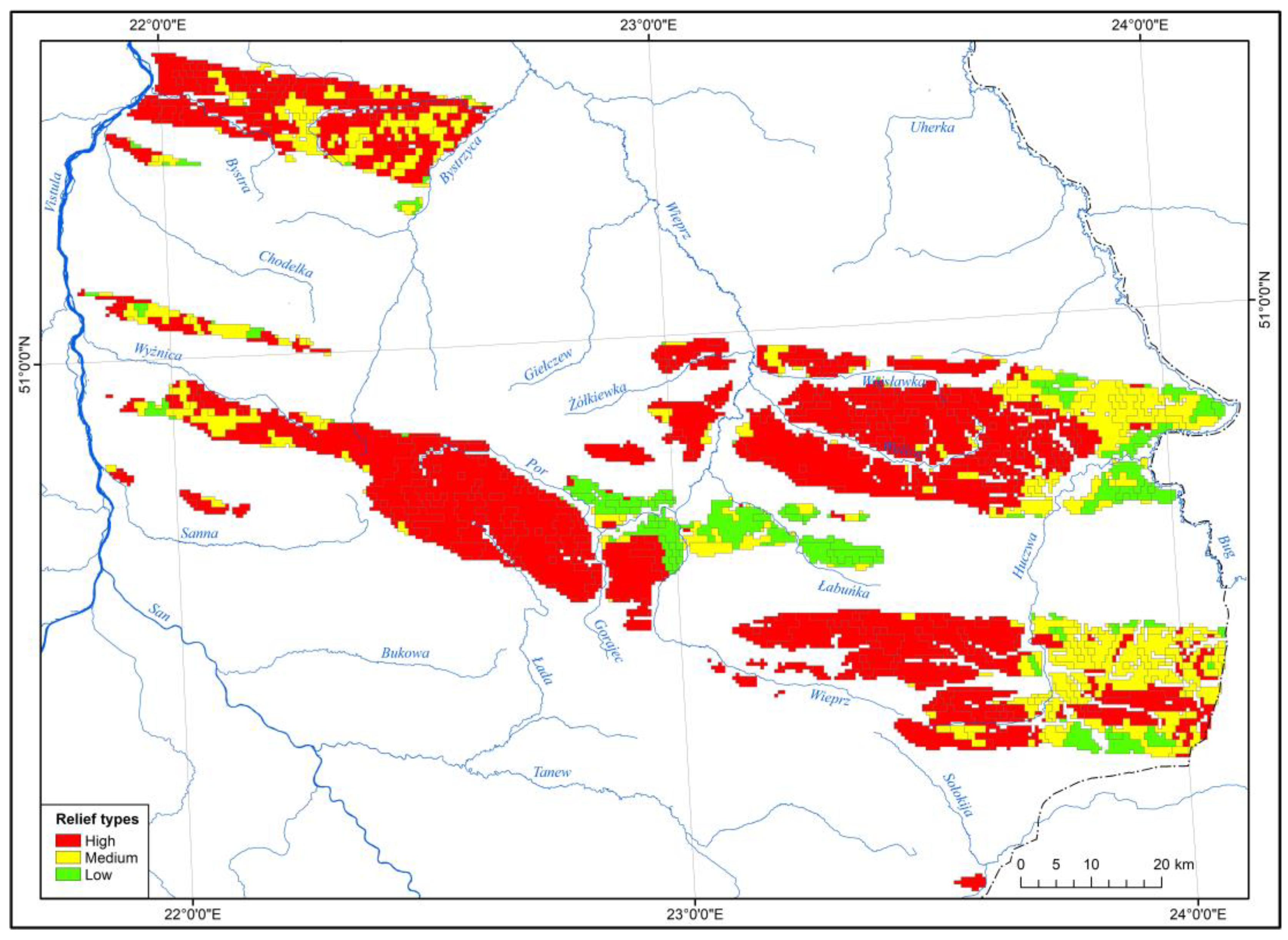
The application of the automated analysis of remote sensing data processed into high-resolution digital terrain models (DTMs) using geographic information systems (GIS) tools provides a geomorphometric characterization of the diversity of the relief of loess patches over large areas. Herein, a quantitative classification of 79 loess patches with a total area of 3361 km2, distributed within the eastern part of the Polish Uplands belt, is carried out. A high-resolution 1 × 1 m DTM was generated from airborne laser scanning (ALS) data with densities ranging from 4 pts/m2 to 12 pts/m2, which was resampled to a resolution of 5 × 5 m for the study. This model was used to classify landform surfaces using the r.geomorphon (geomorphon algorithm) function in GRASS GIS software. By comparing the values in the neighborhood of each cell, a map of geomorphometric features (geomorphon) was obtained. The classification and typology of the relief of the studied loess patches was performed using GeoPAT2 (Geospatial Pattern Analysis Toolbox) software. Pattern signatures with a resolution of 100 × 100 m were extracted from the source data grid, and the similarity of geomorphological maps within the signatures was calculated and saved as a signature file and segment map using the spatial coincidence method. The distance matrix between each pair of segments was calculated, and the heterogeneity and isolation of the maps were generated. R system was used to classify the segments, which generated a dendrogram and a heat map based on the distance matrix. This made it possible to distinguish three main types and eight subtypes of relief. The morphometric approach used will contribute to a better understanding of the spatial variation in the relief of loess patches.
Keywords: high-resolution DTM; geomorphons; GeoPAT2; relief segmentation and clustering; relief similarity; loess relief types high-resolution DTM; geomorphons; GeoPAT2; relief segmentation and clustering; relief similarity; loess relief types