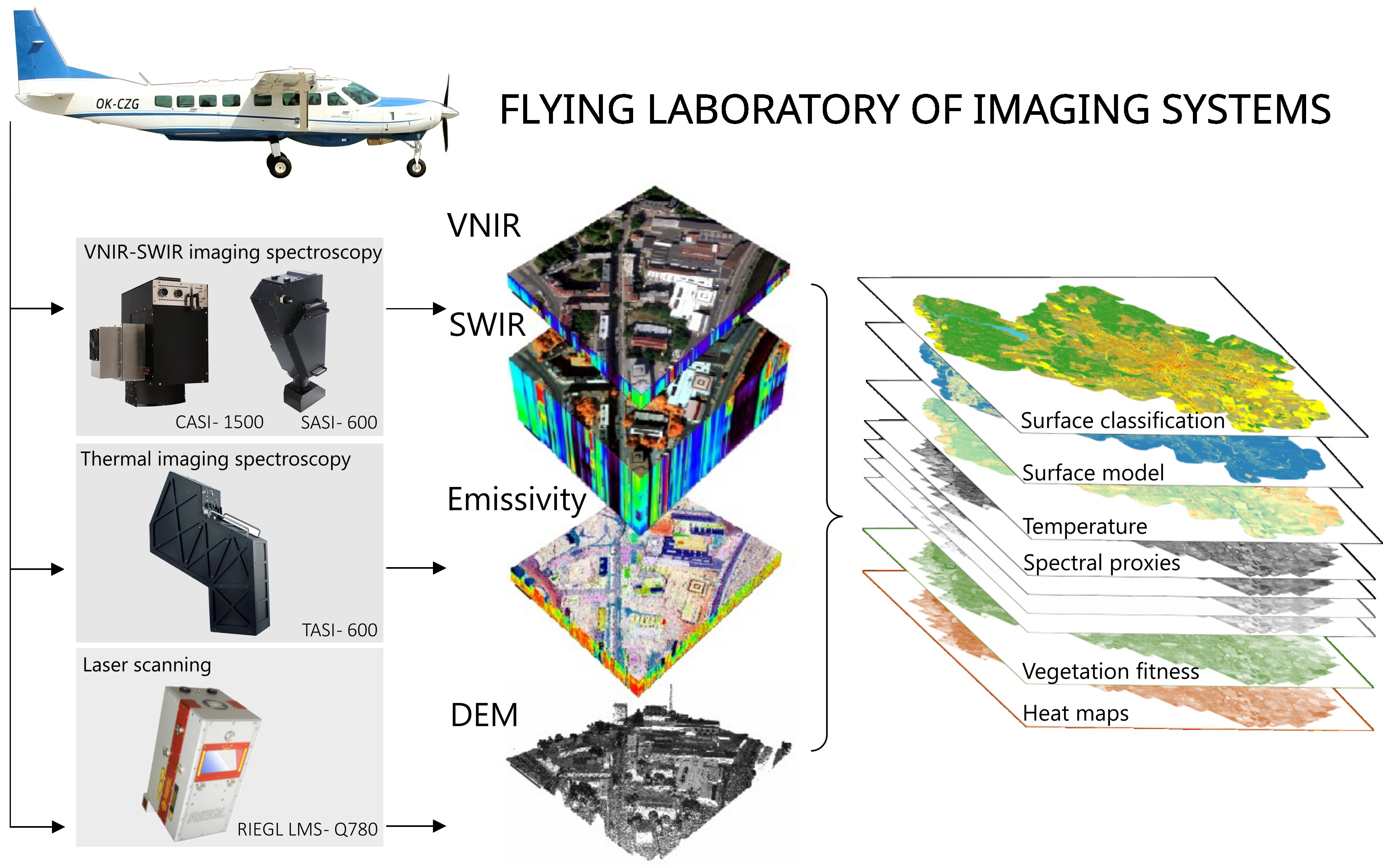
Flying Laboratory of Imaging Systems: Fusion of Airborne Hyperspectral and Laser Scanning for Ecosystem Research

 , , , ,
  , , and
 Abstract
Share and Cite
Hanuš, J.; Slezák, L.; Fabiánek, T.; Fajmon, L.; Hanousek, T.; Janoutová, R.; Kopkáně, D.; Novotný, J.; Pavelka, K.; Pikl, M.; et al. Flying Laboratory of Imaging Systems: Fusion of Airborne Hyperspectral and Laser Scanning for Ecosystem Research. Remote Sens. 2023, 15, 3130. https://doi.org/10.3390/rs15123130
Hanuš J, Slezák L, Fabiánek T, Fajmon L, Hanousek T, Janoutová R, Kopkáně D, Novotný J, Pavelka K, Pikl M, et al. Flying Laboratory of Imaging Systems: Fusion of Airborne Hyperspectral and Laser Scanning for Ecosystem Research. Remote Sensing. 2023; 15(12):3130. https://doi.org/10.3390/rs15123130
Chicago/Turabian StyleHanuš, Jan, Lukáš Slezák, Tomáš Fabiánek, Lukáš Fajmon, Tomáš Hanousek, Růžena Janoutová, Daniel Kopkáně, Jan Novotný, Karel Pavelka, Miroslav Pikl, and et al. 2023. "Flying Laboratory of Imaging Systems: Fusion of Airborne Hyperspectral and Laser Scanning for Ecosystem Research" Remote Sensing 15, no. 12: 3130. https://doi.org/10.3390/rs15123130
APA StyleHanuš, J., Slezák, L., Fabiánek, T., Fajmon, L., Hanousek, T., Janoutová, R., Kopkáně, D., Novotný, J., Pavelka, K., Pikl, M., Zemek, F., & Homolová, L. (2023). Flying Laboratory of Imaging Systems: Fusion of Airborne Hyperspectral and Laser Scanning for Ecosystem Research. Remote Sensing, 15(12), 3130. https://doi.org/10.3390/rs15123130