Article

3D LiDAR Aided GNSS/INS Integration Fault Detection, Localization and Integrity Assessment in Urban Canyons

1
National Key Laboratory of CNS/ATM, School of Electronics and Information Engineering, Beihang University, Beijing 100191, China
2
Beihang School, Beihang University, Beijing 100191, China
3
Research Institute for Frontier Science, Beihang University, Beijing 100191, China
*
Author to whom correspondence should be addressed.
Remote Sens. 2022, 14(18), 4641; https://doi.org/10.3390/rs14184641
Submission received: 28 July 2022 / Revised: 12 September 2022 / Accepted: 14 September 2022 / Published: 16 September 2022

Abstract

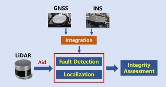
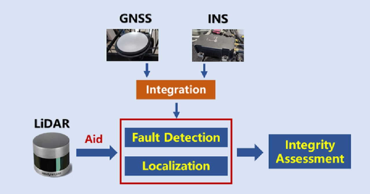
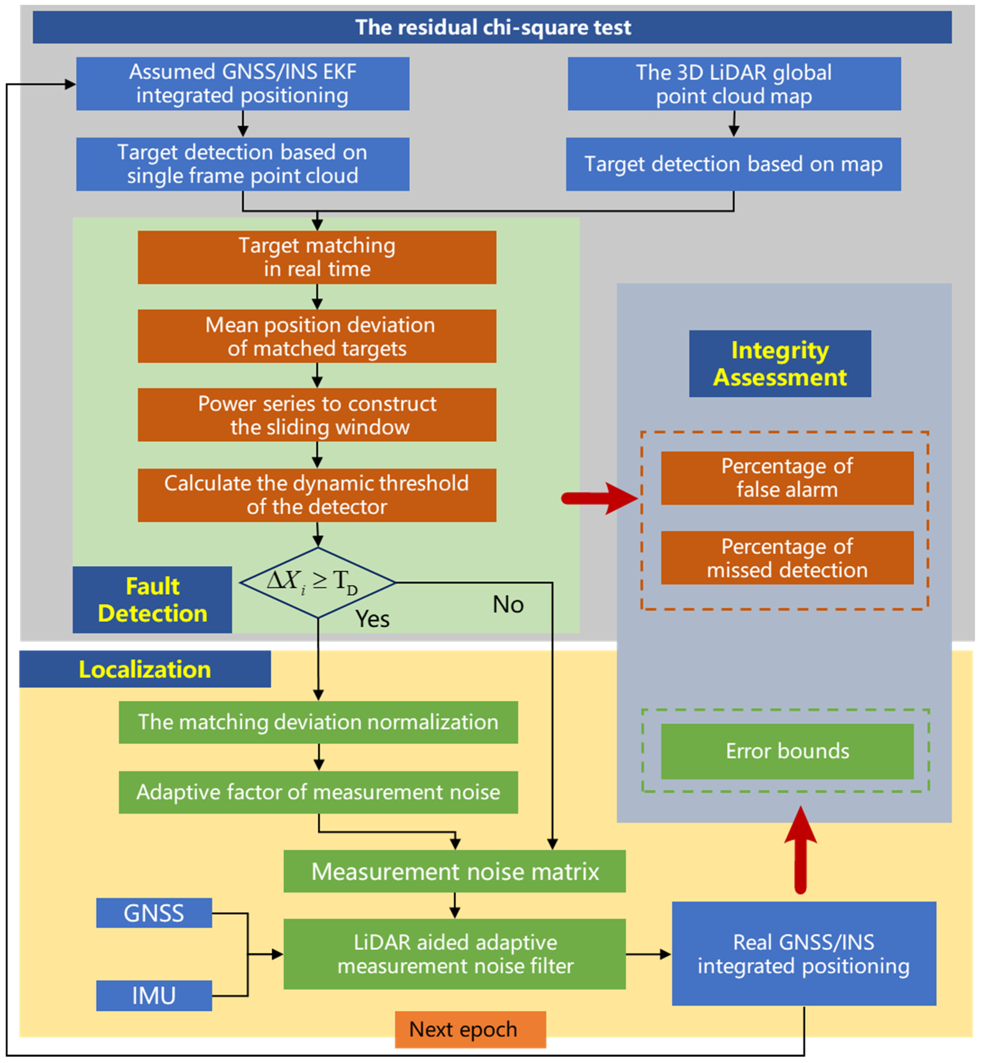
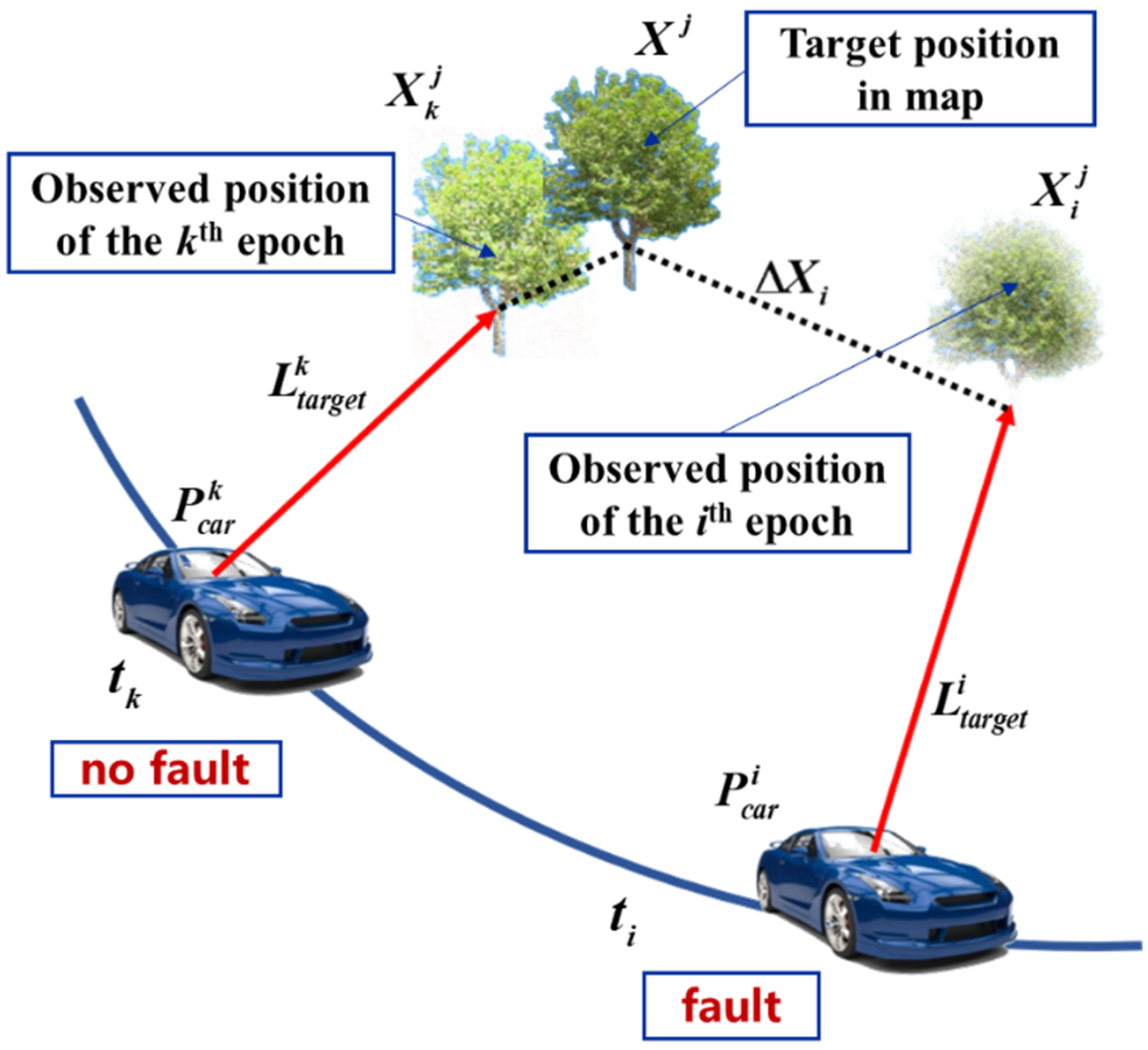
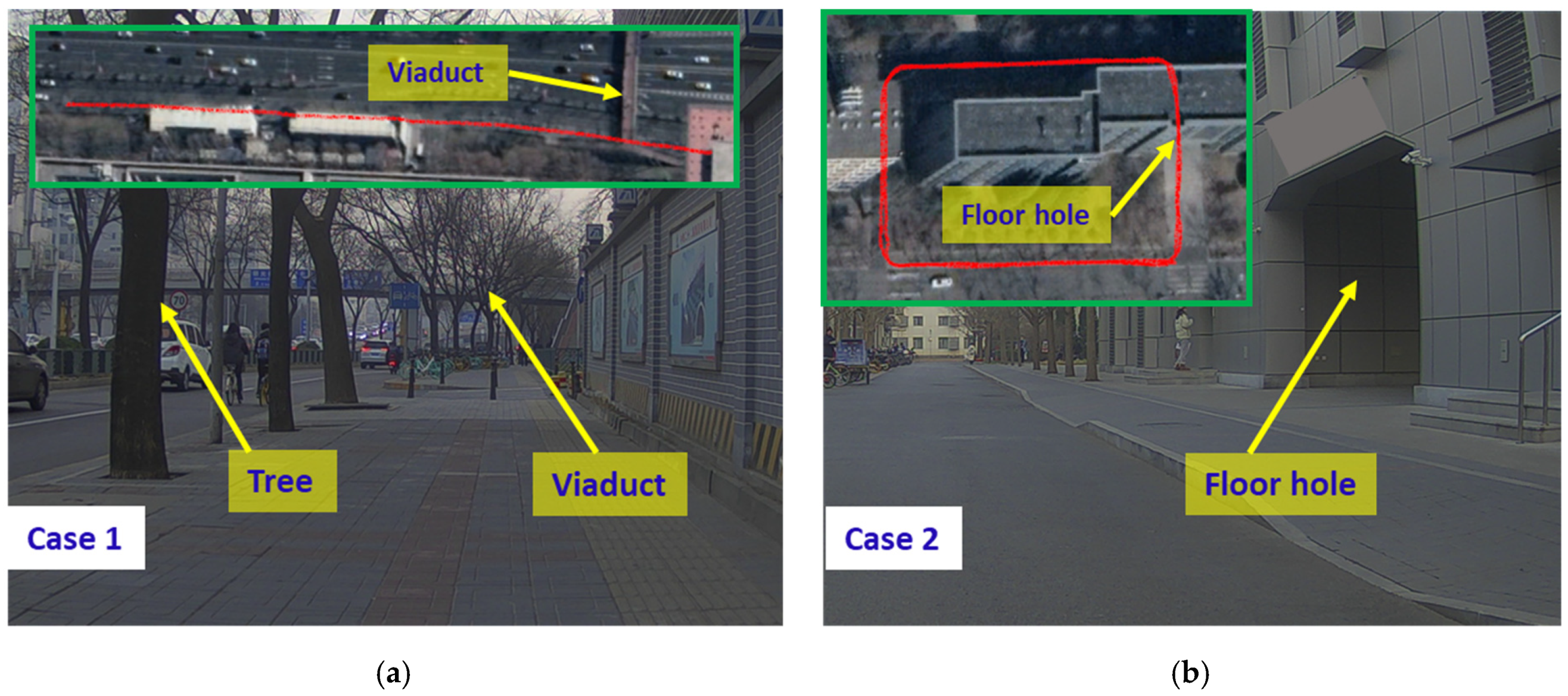
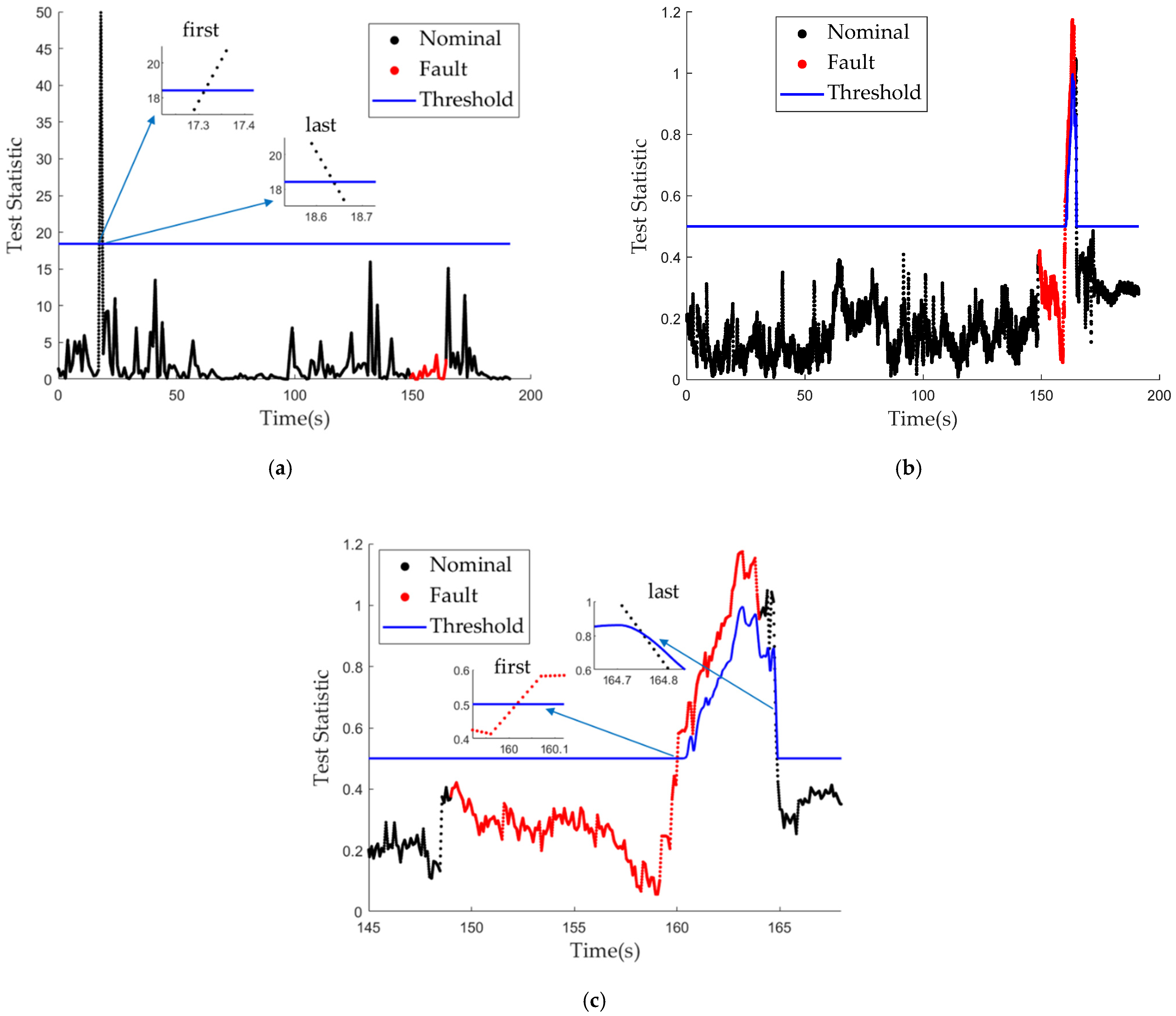
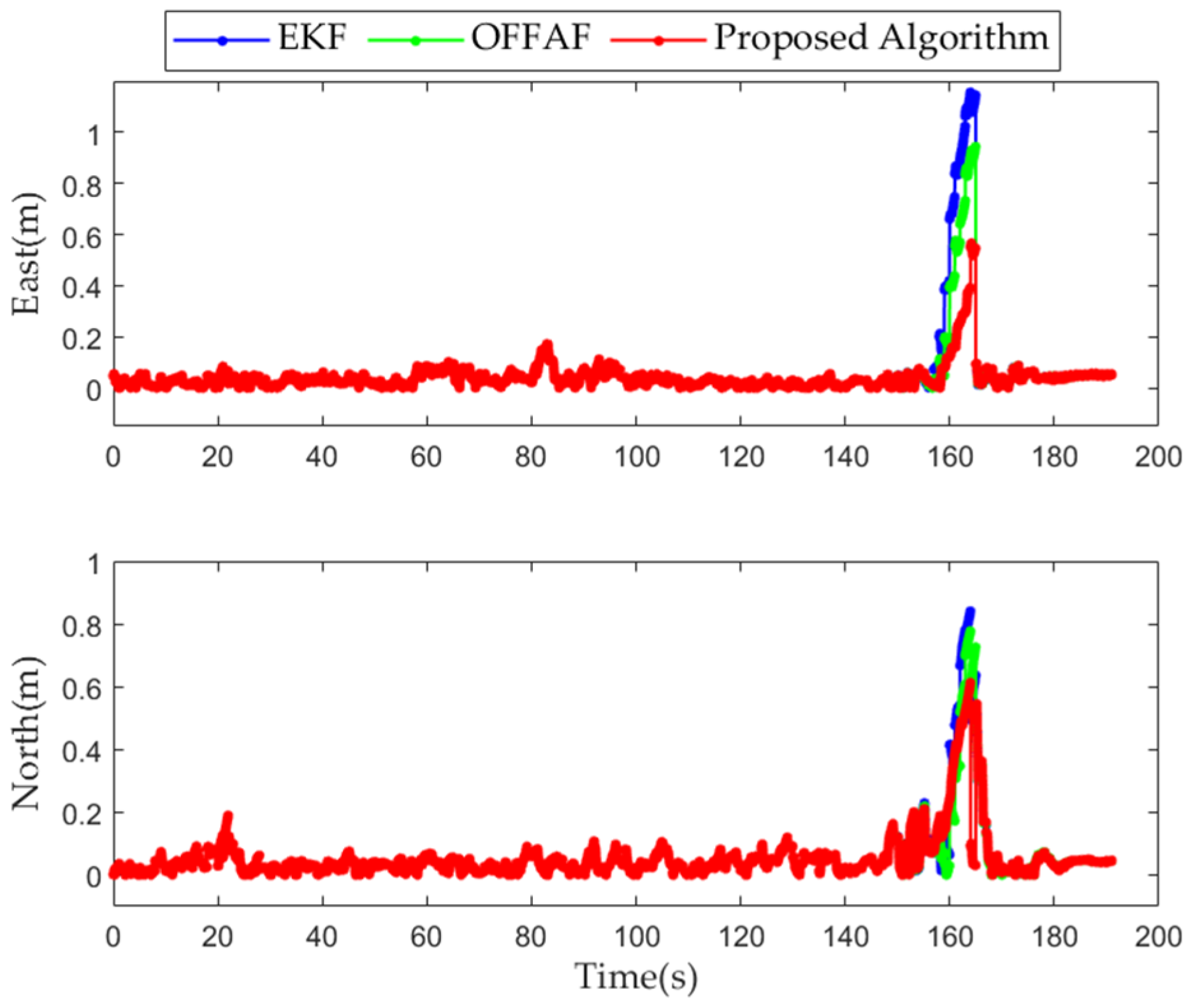
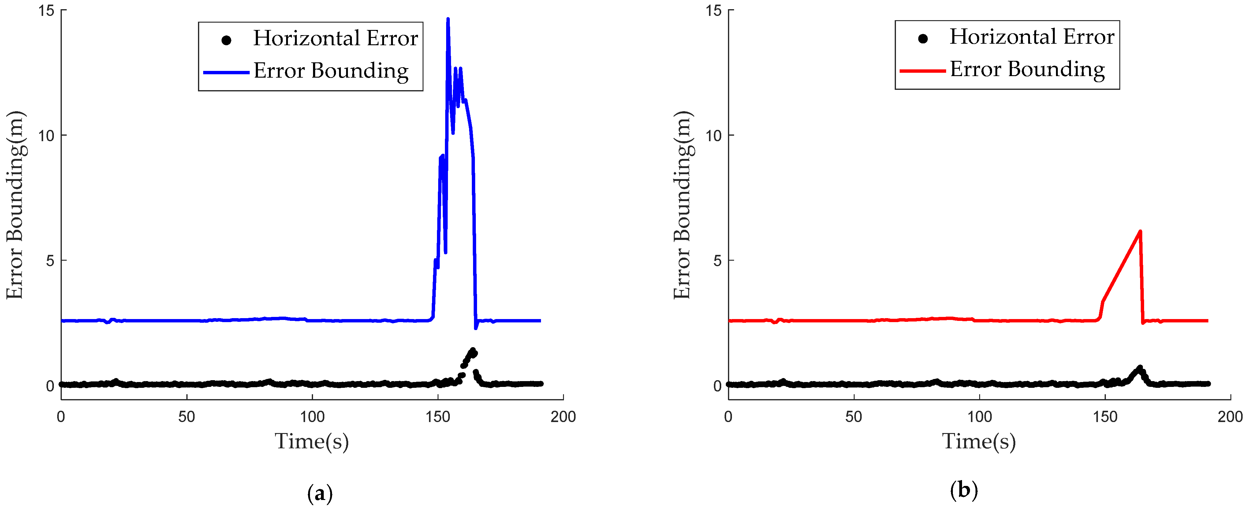
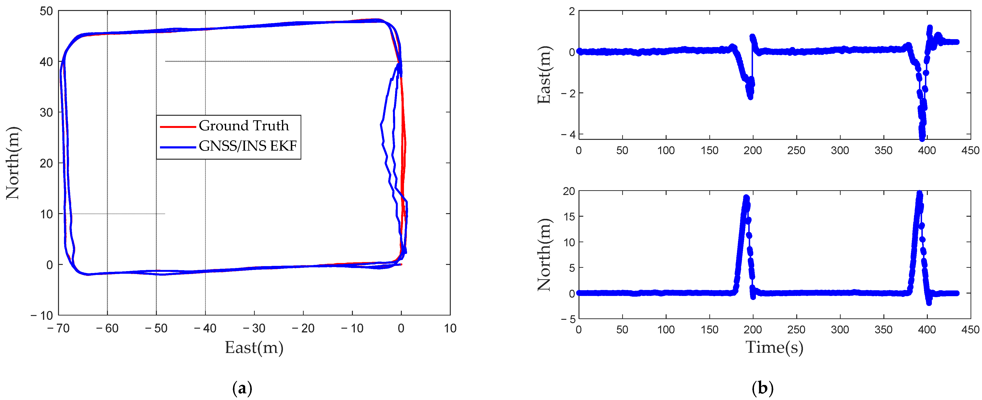
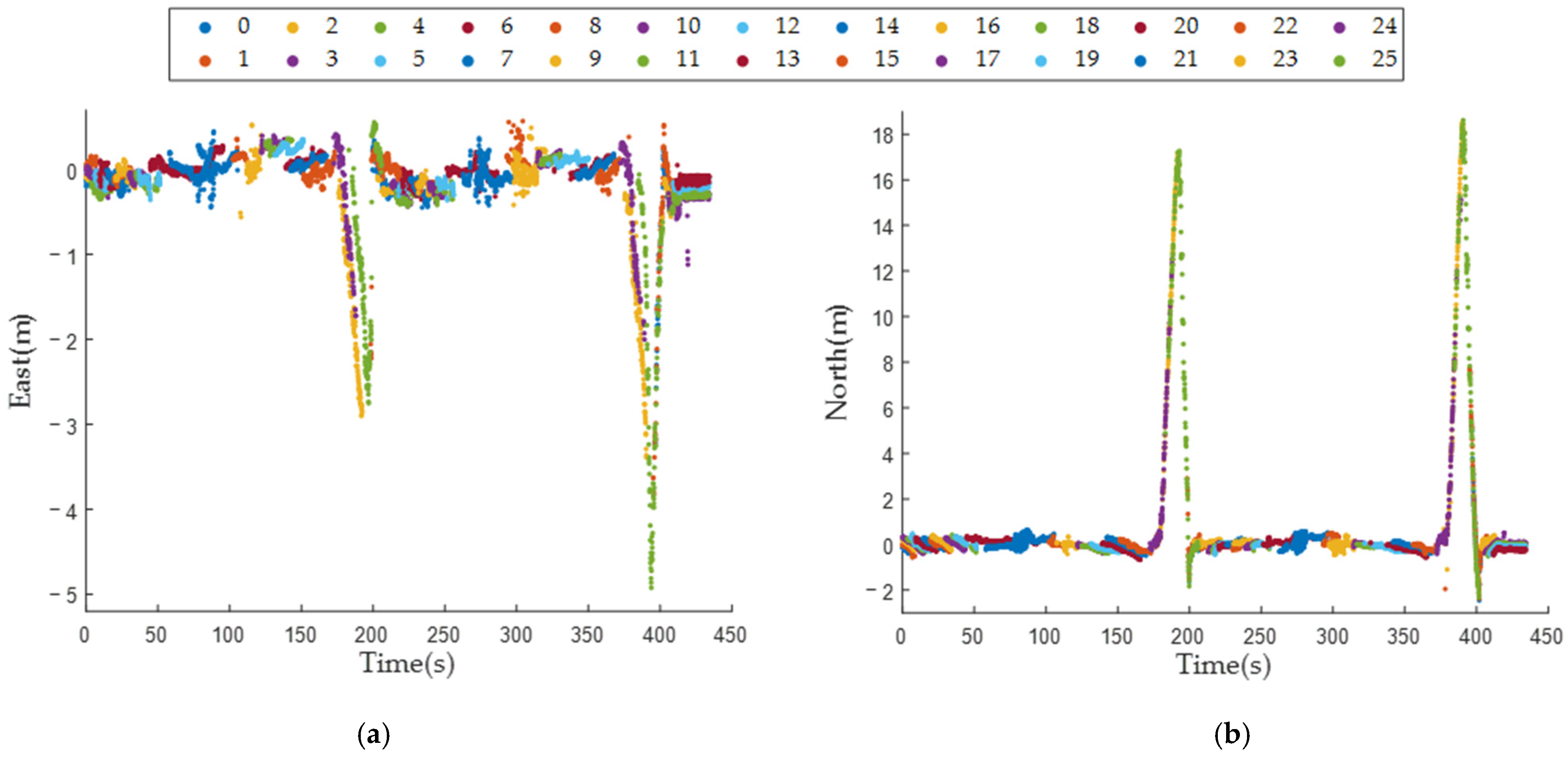
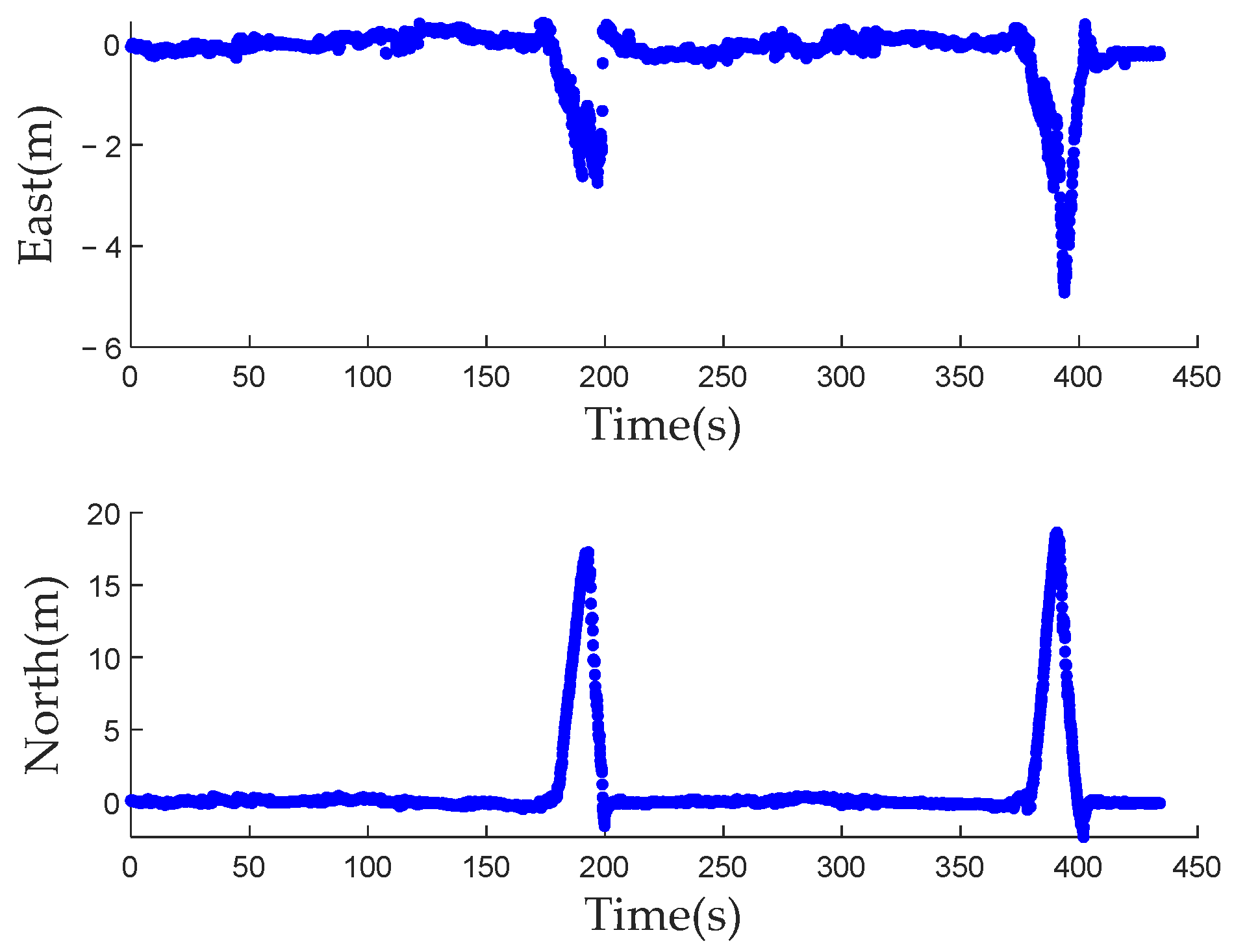
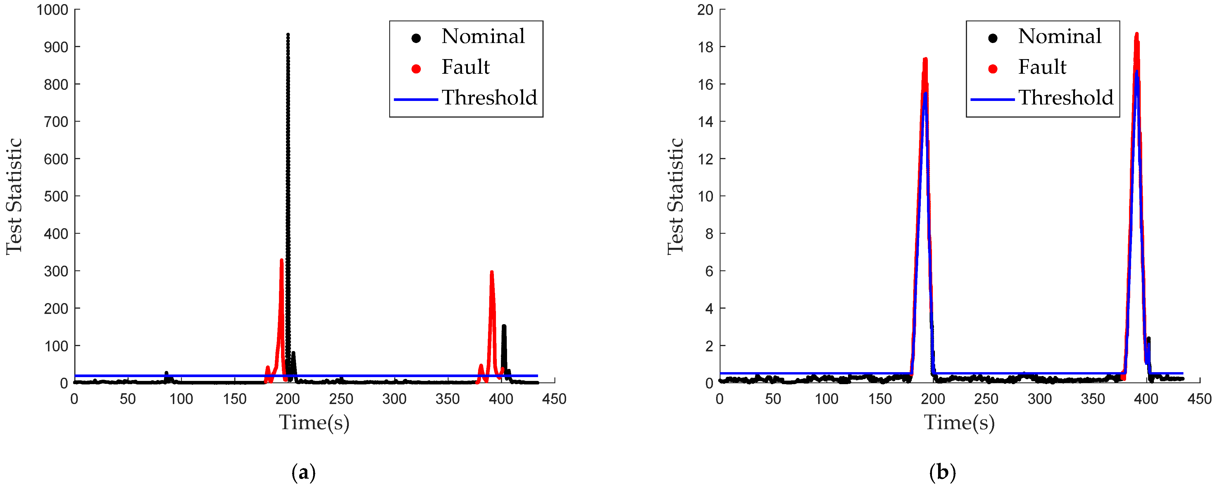
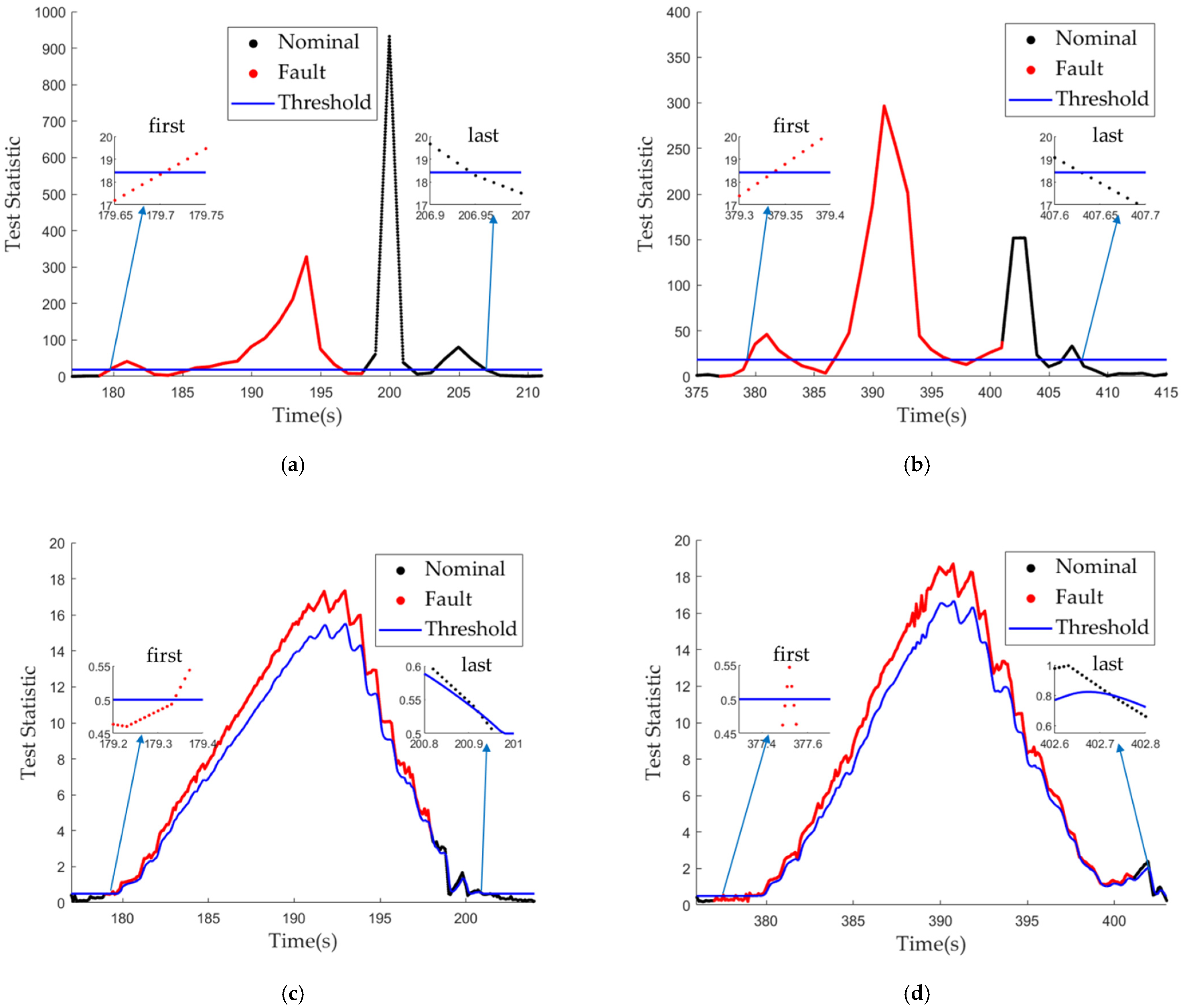
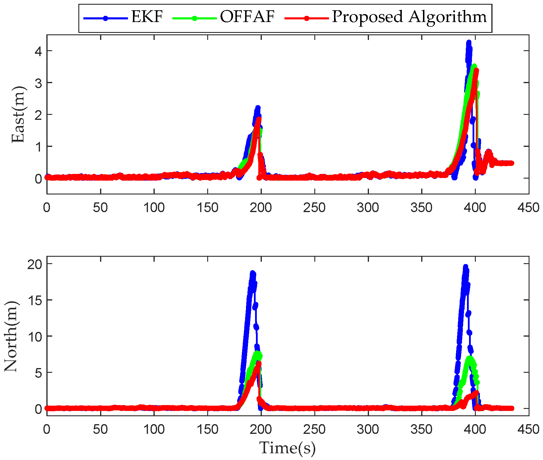
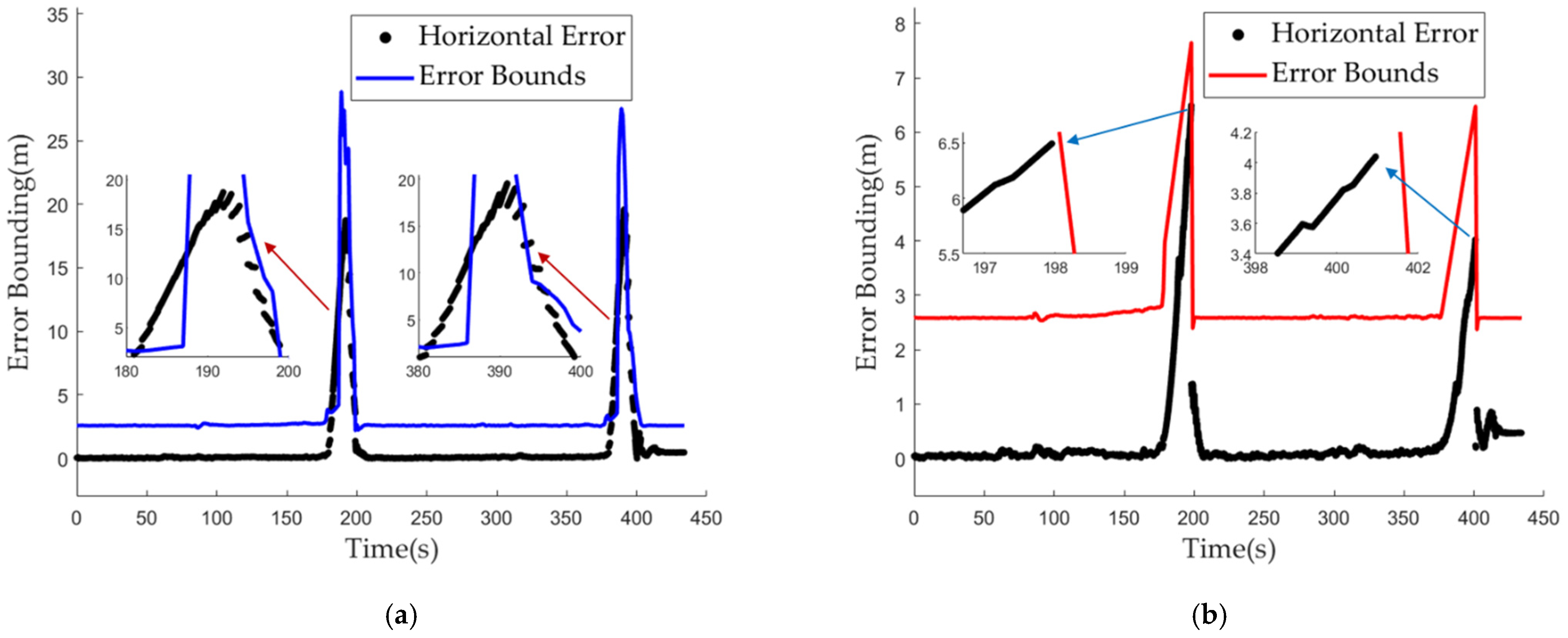
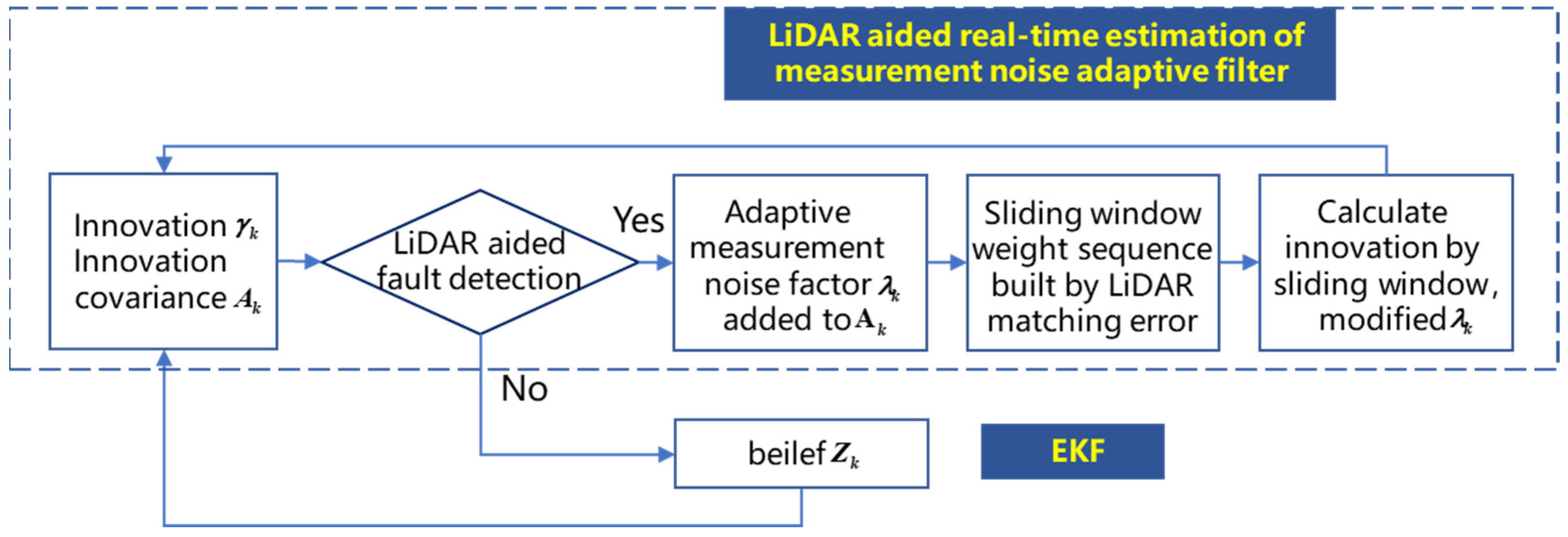
The performance of Global Navigation Satellite System (GNSS) and Inertial Navigation System (INS) integrated navigation can be severely degraded in urban canyons due to the non-line-of-sight (NLOS) signals and multipath effects. Therefore, to achieve a high-precision and robust integrated system, real-time fault detection and localization algorithms are needed to ensure integrity. Currently, the residual chi-square test is used for fault detection in the positioning domain, but it has poor sensitivity when faults disappear. Three-dimensional (3D) light detection and ranging (LiDAR) has good positioning performance in complex environments. First, a LiDAR aided real-time fault detection algorithm is proposed. A test statistic is constructed by the mean deviation of the matched targets, and a dynamic threshold is constructed by a sliding window. Second, to solve the problem that measurement noise is estimated by prior modeling with a certain error, a LiDAR aided real-time measurement noise estimation based on adaptive filter localization algorithm is proposed according to the position deviations of matched targets. Finally, the integrity of the integrated system is assessed. The error bound of integrated positioning is innovatively verified with real test data. We conduct two experiments with a vehicle going through a viaduct and a floor hole, which, represent mid and deep urban canyons, respectively. The experimental results show that in terms of fault detection, the fault could be detected in mid urban canyons and the response time of fault disappearance is reduced by 70.24% in deep urban canyons. Thus, the poor sensitivity of the residual chi-square test for fault disappearance is improved. In terms of localization, the proposed algorithm is compared with the optimal fading factor adaptive filter (OFFAF) and the extended Kalman filter (EKF). The proposed algorithm is the most effective, and the Root Mean Square Error (RMSE) in the east and north is reduced by 12.98% and 35.1% in deep urban canyons. Regarding integrity assessment, the error bound can overbound the positioning errors in deep urban canyons relative to the EKF and the mean value of the error bounds is reduced.
Keywords: GNSS/INS; 3D LiDAR; fault detection; localization; integrity assessment GNSS/INS; 3D LiDAR; fault detection; localization; integrity assessment
Graphical Abstract