Article

Recovering Regional Groundwater Storage Anomalies by Combining GNSS and Surface Mass Load Data: A Case Study in Western Yunnan

1
School of Civil and Architectural Engineering, Shandong University of Technology, Zibo 255000, China
2
Chinese Academy of Surveying and Mapping, Beijing 100830, China
3
Yunnan Technical Center of Base Surveying and Mapping, Kunming 650032, China
4
School of Surveying and Geo-Informatics, Shandong Jianzhu University, Jinan 250101, China
*
Author to whom correspondence should be addressed.
Remote Sens. 2022, 14(16), 4032; https://doi.org/10.3390/rs14164032
Submission received: 27 June 2022 / Revised: 14 August 2022 / Accepted: 16 August 2022 / Published: 18 August 2022
(This article belongs to the Special Issue BDS/GNSS for Earth Observation)

Abstract

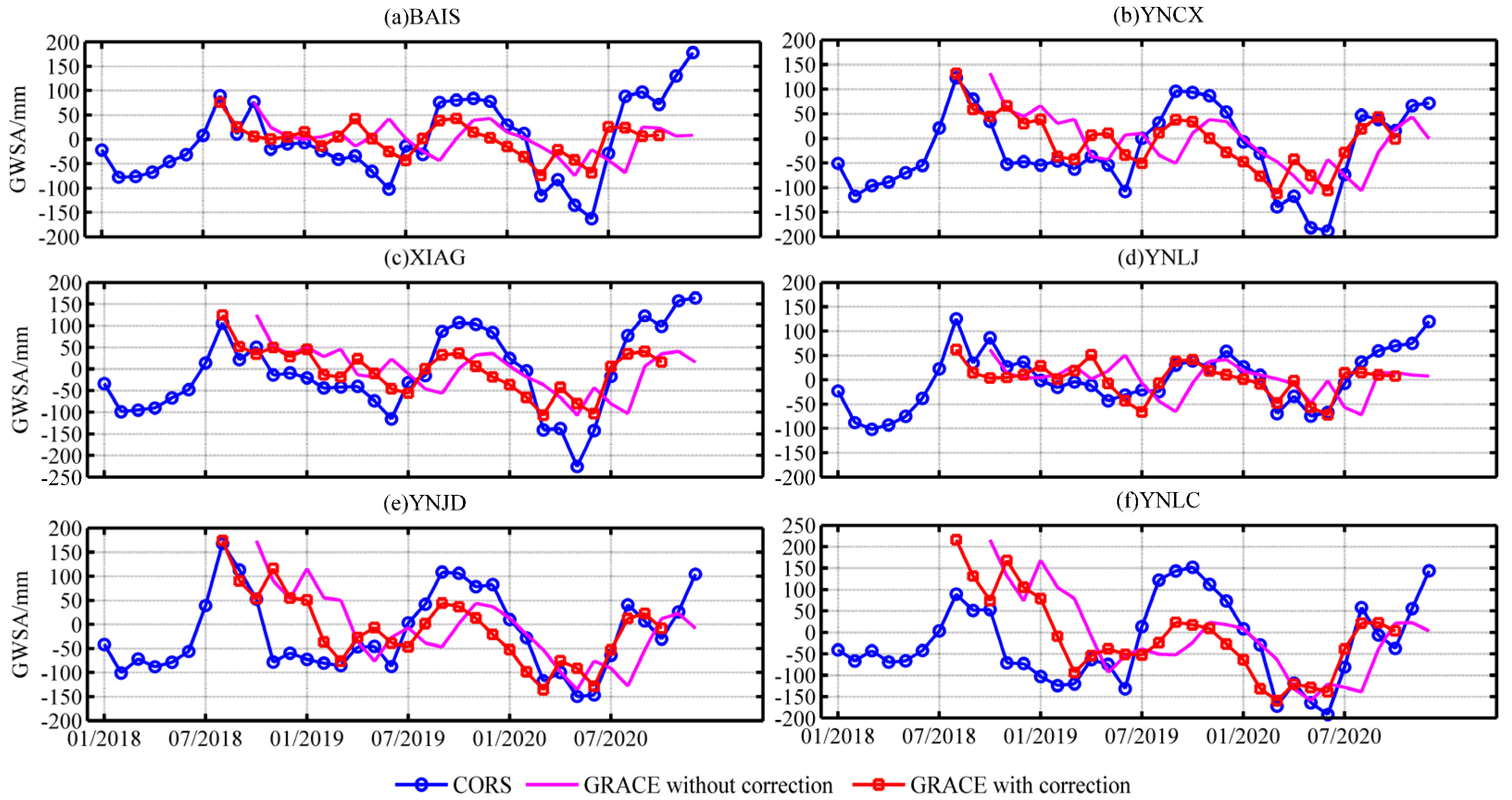
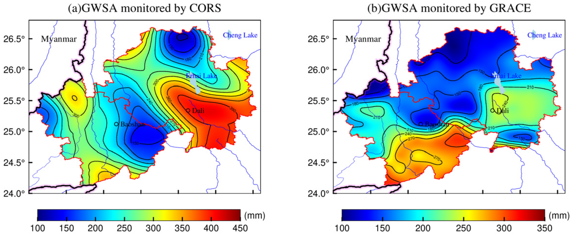
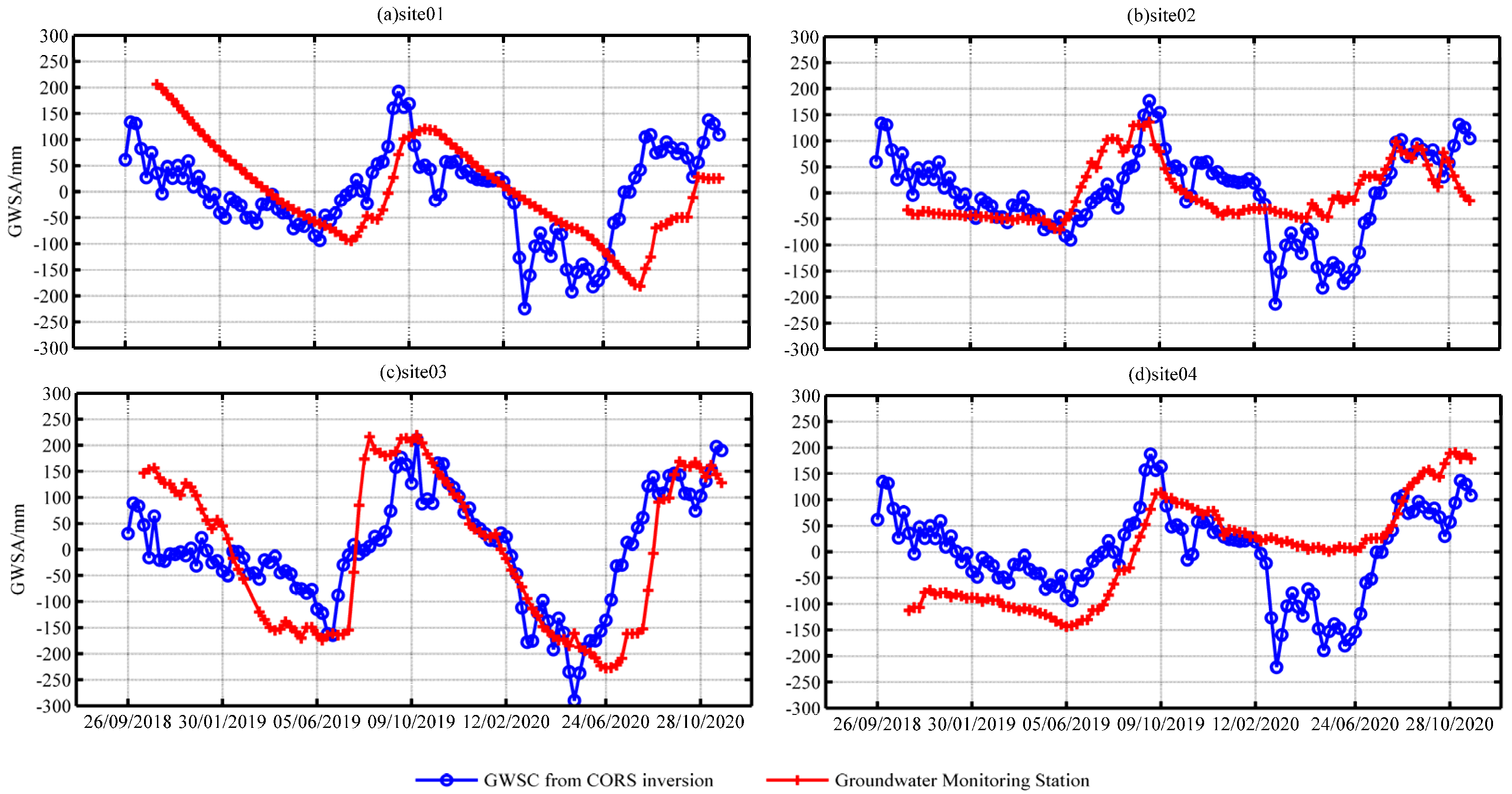
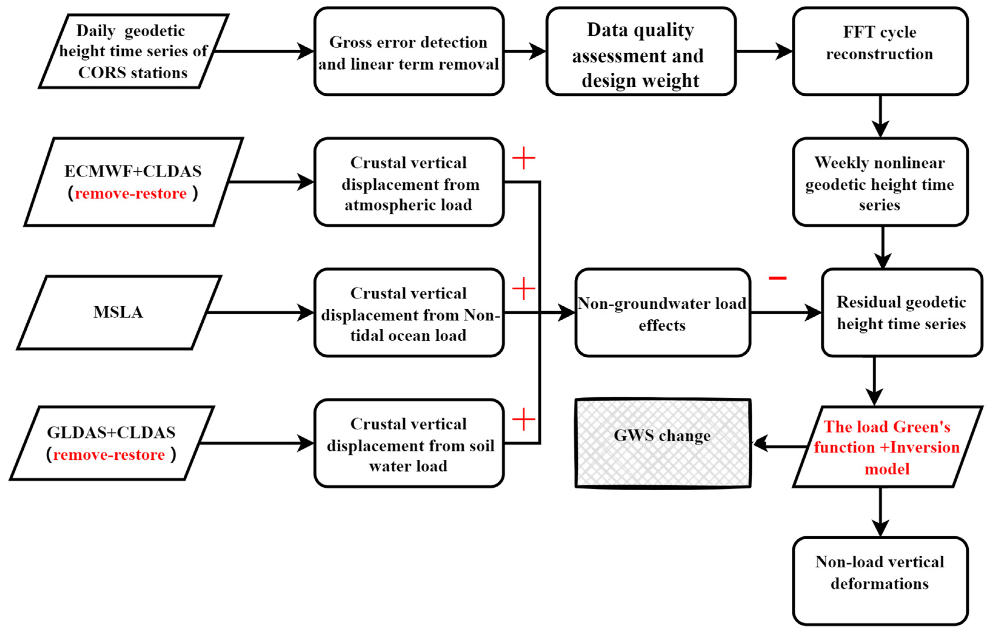
The redistribution of surface mass (e.g., atmosphere, soil water, oceans, and groundwater) can cause load responses, resulting in vertical deformations of the crust. Indeed, the global navigation satellite system (GNSS)-based continuously operating reference stations (CORS) are able to accurately measure the vertical deformation caused by surface mass loads. In this study, the CORS was used to invert groundwater storage anomalies (GWSA), represented by the equivalent water height (EWH), after removing the effect of the non-groundwater surface mass load (atmospheric, groundwater, and non-tidal oceanic loads) from the vertical deformation monitored by CORS. In addition, the global and regional high-resolution surface mass models were combined to calculate the high-precision load deformation field in in western Yunnan using the remove–restore method, thereby obtaining more accurate surface mass load data and improving the accuracy of the inverted GWSA results. In order to assess the feasibility of the CORS inversion for the GWSA used, 66 CORS stations in western Yunnan Province were considered, presenting weekly GWSA data from 10 January 2018 to 31 December 2020. The results revealed significant seasonal variation in GWSA in the study area, showing an amplitude range of −200–200 mm. This approach is based on the already-established CORS network without requiring additional set-up costs. In addition, the reliability of CORS inverse results was assessed using Gravity Recovery and Climate Experiment (GRACE) inverse results and actual groundwater monitoring data. According to the obtained results, GWSA can be monitored by both CORS and GRACE data; however, CORS provided a more effective spatiotemporal resolution of GWSA. Therefore, the CORS network combined with surface mass load data is able to effectively monitor the spatiotemporal dynamics of GWSA in small-scale areas and provides important references for the study of hydrology.
Keywords: ground water storage; surface mass load; groundwater monitoring station; GNSS; remove-restore method ground water storage; surface mass load; groundwater monitoring station; GNSS; remove-restore method